The Warren

Wood, Forest in Worcestershire Malvern Hills

England

The Warren

Location of Suckley FBM <span class="nowrap"><a title="http://trigpointing.uk/trig/532" rel="nofollow ugc noopener" href="http://trigpointing.uk/trig/532">Link</a><img style="margin-left:2px;" alt="External link" title="External link - shift click to open in new window" src="https://s1.geograph.org.uk/img/external.png" width="10" height="10"/></span>
Location of Suckley FBM Credit: thejackrustles

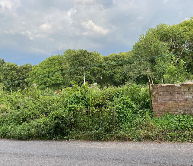
The Warren, located in Worcestershire, is a charming woodland area that is renowned for its natural beauty and peaceful ambiance. Situated near the village of Wood, the Warren is a haven for nature enthusiasts and those seeking a tranquil retreat from the hustle and bustle of everyday life.

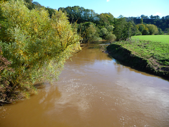
Covering a vast expanse of land, the Warren is characterized by its dense forest and rich biodiversity. The woodland is home to a variety of native flora and fauna, with ancient oak trees dominating the landscape. Visitors can enjoy leisurely walks along the numerous trails, immersing themselves in the sights and sounds of nature.

The Warren also boasts a diverse range of wildlife, including deer, squirrels, and a plethora of bird species. Birdwatchers will be delighted to spot species such as woodpeckers, owls, and thrushes within the woodland's boundaries.

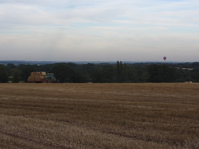
The area is well-maintained, with designated picnic spots and seating areas scattered throughout. These provide the perfect opportunity for visitors to relax and take in the stunning surroundings. Additionally, there are several viewpoints that offer panoramic vistas of the Worcestershire countryside.

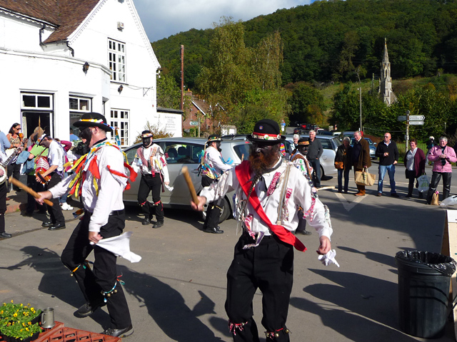
The Warren is a popular destination for families, offering a safe and enjoyable environment for children to explore and connect with nature. Educational programs and guided nature walks are available for those who wish to delve deeper into the natural history and ecology of the area.

Overall, the Warren in Worcestershire is a natural gem, offering a peaceful haven for nature lovers and providing a unique opportunity to experience the beauty of woodlands in the heart of England.

If you have any feedback on the listing, please let us know in the comments section below.
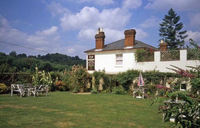
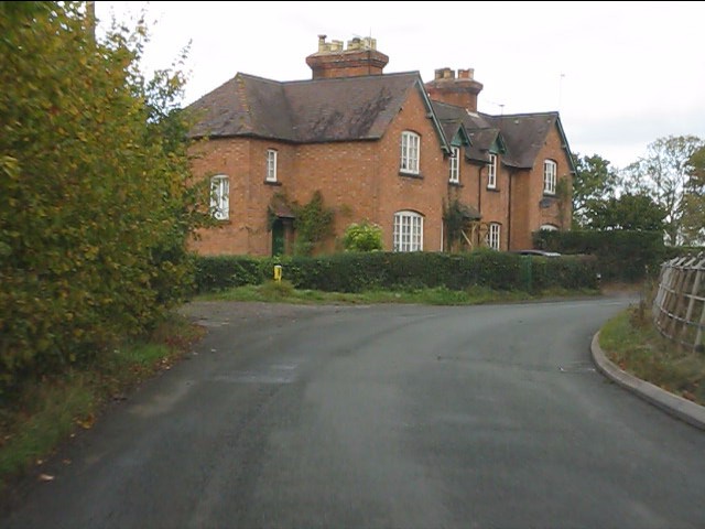
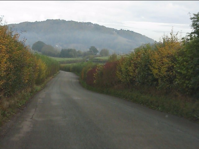
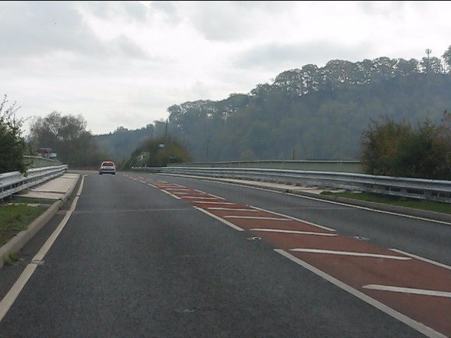
The Warren Images

Images are sourced within 2km of 52.18887/-2.3875906 or Grid Reference SO7354. Thanks to Geograph Open Source API. All images are credited.

Location of Suckley FBM <span class="nowrap"><a title="http://trigpointing.uk/trig/532" rel="nofollow ugc noopener" href="http://trigpointing.uk/trig/532">Link</a><img style="margin-left:2px;" alt="External link" title="External link - shift click to open in new window" src="https://s1.geograph.org.uk/img/external.png" width="10" height="10"/></span>
Location of Suckley FBM
Old Bridge Marker on the A44 Bridge Marker fixed to the south parapet of Knightsford Bridge, River Teme, on the A44. On the boundary of Knightwick and Doddenham parishes. See also <a title="https://www.geograph.org.uk/photo/554531" href="https://www.geograph.org.uk/photo/554531">Link</a>.

Milestone Society National ID: WO_KNIDOD01br
Old Bridge Marker on the A44
Bridge Marker fixed to the south parapet of Knightsford Bridge, River Teme, on the A44. On the boundary of Knightwick and Doddenham parishes. See also Link. Milestone Society National ID: WO_KNIDOD01br
Former St. Mary's church (Knightwick) Built by A. E. Jenkins in 1856, the church was converted as a private house in the 2000s. This was taken from the B4197 road.
Former St. Mary's church (Knightwick)
Built by A. E. Jenkins in 1856, the church was converted as a private house in the 2000s. This was taken from the B4197 road.
The escape is off Thwarted cows look on, failed by the Escape Committee missing one small detail in their cunning plan.
The escape is off
Thwarted cows look on, failed by the Escape Committee missing one small detail in their cunning plan.
Broadwas - St Mary Magdalene's Church A Grade II* Listed church. Late 12th century origins with later additions. Restored by Charles Hodgson Fowler c1885. A notable feature is the timber framed weatherboarded bell turret.
Broadwas - St Mary Magdalene's Church
A Grade II* Listed church. Late 12th century origins with later additions. Restored by Charles Hodgson Fowler c1885. A notable feature is the timber framed weatherboarded bell turret.
Broadwas - St Mary Magdalene's Church An interior view looking into the timber framed, weatherboarded bell turret at the far end.
Broadwas - St Mary Magdalene's Church
An interior view looking into the timber framed, weatherboarded bell turret at the far end.
Broadwas - St Mary Magdalene's Church The interior of the late 12th century Grade II* Listed church.
Broadwas - St Mary Magdalene's Church
The interior of the late 12th century Grade II* Listed church.
Garden at the Fox & Hounds Inn Excellent country pub with a good-sized garden and children's play area for the summer months.
Garden at the Fox & Hounds Inn
Excellent country pub with a good-sized garden and children's play area for the summer months.
Houses near The Grove Farm
Heading for Ankerdine Hill The lane from Suckley approaching Knightwick.
Heading for Ankerdine Hill
The lane from Suckley approaching Knightwick.
A44 crosses the River Teme at Knightwick Although the OS map calls it Knightsford Bridge, all locals I've come across call it Knightwick Bridge.
A44 crosses the River Teme at Knightwick
Although the OS map calls it Knightsford Bridge, all locals I've come across call it Knightwick Bridge.
River Teme at Knightwick Looking downstream from the footbridge.
River Teme at Knightwick
Looking downstream from the footbridge.
Festivities outside The Talbot Sunday lunchtime at The Talbot, with morris dancing, a farmers' market, a beer festival and Sunday roasts in the pub. All very English.
Festivities outside The Talbot
Sunday lunchtime at The Talbot, with morris dancing, a farmers' market, a beer festival and Sunday roasts in the pub. All very English.
Gathering in the last of the harvest near Greenstreet Farm, Alfrick & hot air balloon
Path leading to cottage near Knightwick The path with inset bricks leads through lawns to an attractive cottage which bears the OS flush bracket No 502.
Path leading to cottage near Knightwick
The path with inset bricks leads through lawns to an attractive cottage which bears the OS flush bracket No 502.
Alfrick & Lulsley Village Hall, Clay Green, Alfrick, Worcs The hall's origins lie in the first village hall, which opened in an ex-army wooden hut in 1923 on the opposite side of the road to the present building. In 1953 the present hall was opened with the name of Alfrick Peace Memorial Hall, to commemorate the dead of the two World Wars. Assets from the demolished hall in the neighbouring village of Lulsley were transferred to the hall in the 1980's, but eventually major work was required, and assisted by a lottery grant, this was completed in July 2010. The hall has all the facilities you would expect of a modern hall and is fully licensed. This is useful because the village has lost both its pubs, although one remains at Lulsley.
Alfrick & Lulsley Village Hall, Clay Green, Alfrick, Worcs
The hall's origins lie in the first village hall, which opened in an ex-army wooden hut in 1923 on the opposite side of the road to the present building. In 1953 the present hall was opened with the name of Alfrick Peace Memorial Hall, to commemorate the dead of the two World Wars. Assets from the demolished hall in the neighbouring village of Lulsley were transferred to the hall in the 1980's, but eventually major work was required, and assisted by a lottery grant, this was completed in July 2010. The hall has all the facilities you would expect of a modern hall and is fully licensed. This is useful because the village has lost both its pubs, although one remains at Lulsley.
Alfrick & Lulsley Community Shop Ltd (1), Clay Green, Alfrick, Worcs The village used to have a shop which closed in April 2011, when the owners retired. Now the village once again has a shop run by volunteers from the villages of Alfrick and Lulsley, which opened in 2012. Currently it is in temporary premises in the car park of the village hall, but eventually it is hoped that it could be in a permanent building. Very unusually for this type of arrangement, there is also a post office here.

<a href="https://www.geograph.org.uk/photo/3411223">SO7453 : Alfrick & Lulsley Community Shop Ltd (2), Clay Green, Alfrick, Worcs</a>.
Alfrick & Lulsley Community Shop Ltd (1), Clay Green, Alfrick, Worcs
The village used to have a shop which closed in April 2011, when the owners retired. Now the village once again has a shop run by volunteers from the villages of Alfrick and Lulsley, which opened in 2012. Currently it is in temporary premises in the car park of the village hall, but eventually it is hoped that it could be in a permanent building. Very unusually for this type of arrangement, there is also a post office here. SO7453 : Alfrick & Lulsley Community Shop Ltd (2), Clay Green, Alfrick, Worcs.
Show me another place!

The Warren is located at Grid Ref: SO7354 (Lat: 52.18887, Lng: -2.3875906)

Administrative County: Worcestershire

District: Malvern Hills

Police Authority: West Mercia

What 3 Words

///destiny.ratio.diverting. Near Evesbatch, Herefordshire

Related Wikis

Knightwick railway station

Knightwick railway station was a station in Knightwick, Worcestershire, England. The station was opened on 2 May 1874 and closed on 7 September 1964....

Osebury Rock

Osebury Rock (also known as Oseberrow or Rosebury) is a cliff on the River Teme near Lulsley in Worcestershire, England where fragmentary rocks of the...

Knightwick

Knightwick is a small village and civil parish (with Doddenham) in the Malvern Hills district in the county of Worcestershire, England. == History... ==

Lulsley

Lulsley is a village and civil parish in the Malvern Hills District of the county of Worcestershire, England, UK. == History == Lulsley was in the upper...

Nearby Amenities

Located within 500m of 52.18887,-2.3875906
Lulsley- Council Houses
Naptan AtcoCode: 2000G640007
Naptan Bearing: S
Naptan BusStopType: CUS
Naptan CommonName: Lulsley- Council Houses
Naptan Indicator: Opp
Naptan Landmark: Council Houses
Naptan NaptanCode: wocgdgjp
Naptan Street: Lulsley Road
Naptan Verified: no
Source: naptan_import
Lat/Long: 52.1865804/-2.3821854
Power: tower
Lat/Long: 52.1890621/-2.3930009
Power: tower
Lat/Long: 52.1913968/-2.3912776
Power: tower
Lat/Long: 52.192013/-2.3882312
Power: tower
Lat/Long: 52.1926639/-2.385052
Power: pole
Lat/Long: 52.1862681/-2.3931992
Power: pole
Lat/Long: 52.1874985/-2.3917977
Power: pole
Lat/Long: 52.188308/-2.3908396
Power: pole
Lat/Long: 52.1892881/-2.3879852
Power: pole
Lat/Long: 52.1898501/-2.3863754
Power: pole
Lat/Long: 52.1904916/-2.3844948
Power: pole
Lat/Long: 52.1911621/-2.3825581
Lusley
Place: hamlet
Source: OS-OpenData_StreetView_2016_04
Lat/Long: 52.1894829/-2.3822683
Power: pole
Lat/Long: 52.1881515/-2.3809504
Power: pole
Lat/Long: 52.1872854/-2.3807902
Power: pole
Lat/Long: 52.1862389/-2.3817606
Ravensbank
Power: pole
Transformer: distribution
Voltage Primary: 11000
Lat/Long: 52.186895/-2.3822402
Power: pole
Lat/Long: 52.1877691/-2.3808608
Whistle Wood
Power: pole
Transformer: distribution
Voltage Primary: 11000
Lat/Long: 52.1898003/-2.3826599
Fox & Hounds
Power: pole
Transformer: distribution
Voltage Primary: 11000
Lat/Long: 52.1891189/-2.3825969
Power: pole
Lat/Long: 52.1891794/-2.3819651
Power: pole
Lat/Long: 52.1888959/-2.3814643
Power: pole
Lat/Long: 52.188689/-2.381029
Power: pole
Lat/Long: 52.188857/-2.3802723
Warren Farm Lulsley
Power: pole
Transformer: distribution
Voltage Primary: 11000
Lat/Long: 52.187151/-2.3895893
Power: pole
Lat/Long: 52.1878144/-2.3898448
Power: pole
Lat/Long: 52.1886333/-2.3901949
Power: pole
Lat/Long: 52.189798/-2.3894533
Power: pole
Lat/Long: 52.1911034/-2.3881012
Power: pole
Lat/Long: 52.1917526/-2.3871889
Location Transition: yes
Power: pole
Lat/Long: 52.1929894/-2.3854568
The data included in this document is from www.openstreetmap.org. The data is made available under ODbL.

Have you been to The Warren?

Leave your review of The Warren below (or comments, questions and feedback).