Birdwood Coppice

Wood, Forest in Gloucestershire Forest of Dean

England

Birdwood Coppice

Pedestrian crossing Taking people safely across the A4136 junction with the A40 at Huntley.
Pedestrian crossing Credit: Jonathan Billinger

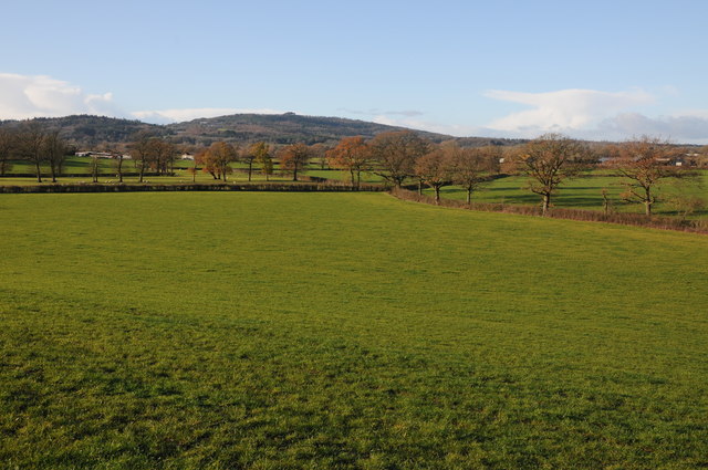
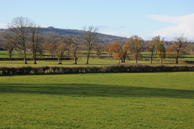
Birdwood Coppice is a picturesque woodland located in Gloucestershire, England. Spanning over a vast area of approximately 50 hectares, this forest is a haven for nature enthusiasts and offers a tranquil escape from the hustle and bustle of city life.

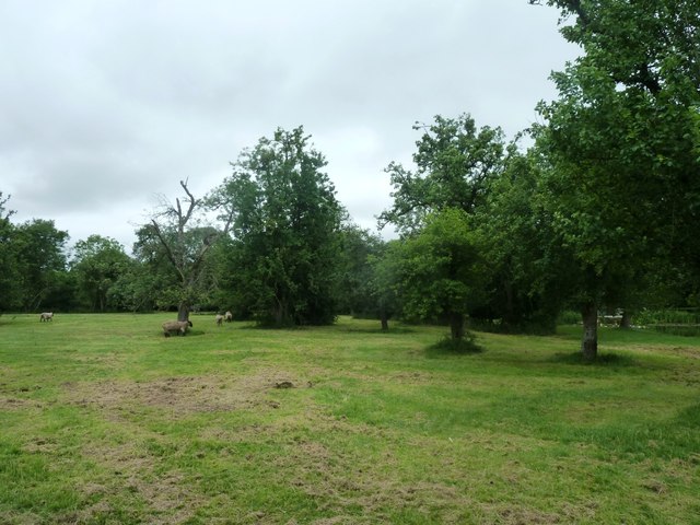
The coppice is primarily composed of a mix of deciduous and coniferous trees, creating a diverse and vibrant ecosystem. Majestic oak, beech, and birch trees dominate the landscape, providing a lush canopy that offers shade during the hot summer months. Additionally, the presence of pine and spruce trees adds an enchanting aroma to the air.

The forest floor is adorned with a rich carpet of wildflowers, ferns, and mosses, creating a vibrant tapestry of colors. A network of well-maintained trails winds through the coppice, allowing visitors to explore the woodland at their own pace. These paths provide ample opportunities for hiking, jogging, and wildlife spotting.

Birdwood Coppice is home to a wide variety of fauna, including deer, foxes, rabbits, and numerous bird species. Birdwatchers can delight in spotting native and migratory birds such as the Great Spotted Woodpecker, Tawny Owl, and various species of warblers. The forest also provides a habitat for rare and endangered species, contributing to its ecological significance.

Throughout the year, the coppice hosts several events and activities, including guided nature walks, educational programs, and photography workshops. It is also a popular destination for picnickers and families looking for a peaceful spot to enjoy the great outdoors.

Birdwood Coppice, with its breathtaking beauty and diverse wildlife, is a true gem in the Gloucestershire countryside, attracting nature lovers from far and wide.

If you have any feedback on the listing, please let us know in the comments section below.

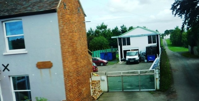
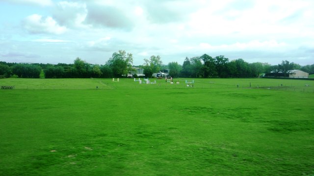
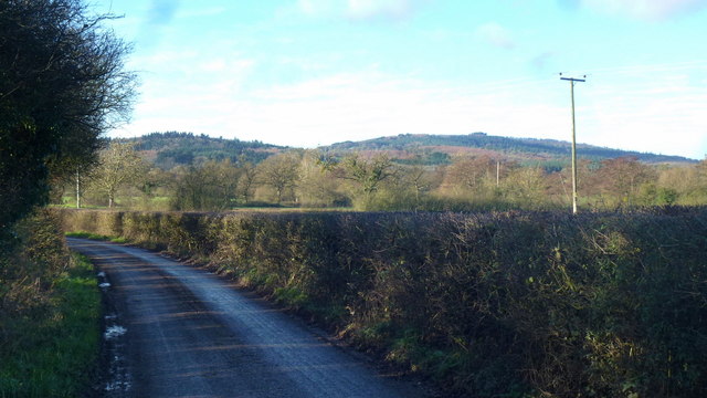
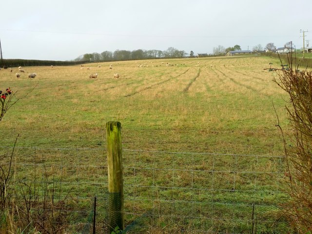
Birdwood Coppice Images

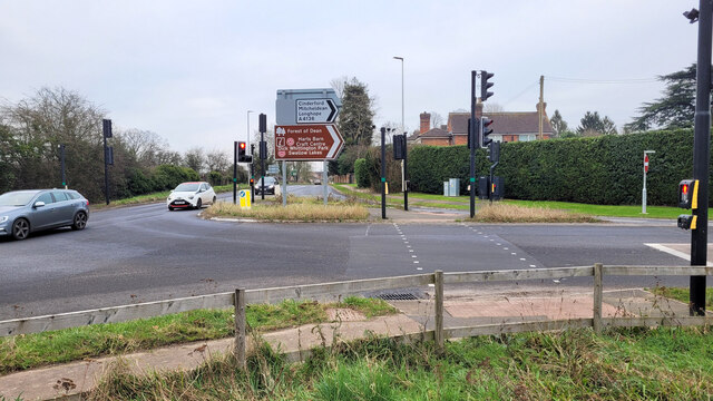
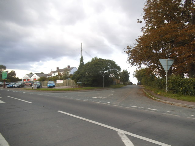
Images are sourced within 2km of 51.866268/-2.3895006 or Grid Reference SO7318. Thanks to Geograph Open Source API. All images are credited.

Pedestrian crossing Taking people safely across the A4136 junction with the A40 at Huntley.
Pedestrian crossing
Taking people safely across the A4136 junction with the A40 at Huntley.
January sunrise, 2024, 1 The winter sunrises from this spot looking towards the Cotswolds scarp, can be spectacular!
January sunrise, 2024, 1
The winter sunrises from this spot looking towards the Cotswolds scarp, can be spectacular!
January sunrise, 2024, 2 The winter sunrises from this spot looking towards the Cotswolds scarp, can be spectacular!
January sunrise, 2024, 2
The winter sunrises from this spot looking towards the Cotswolds scarp, can be spectacular!
View to May Hill View to May Hill from a footpath situated between Bulley and Huntley.
View to May Hill
View to May Hill from a footpath situated between Bulley and Huntley.
Line of trees Line of trees in a field near Birdwood possibly marking the line of a former hedge, May Hall is in the distance.
Line of trees
Line of trees in a field near Birdwood possibly marking the line of a former hedge, May Hall is in the distance.
Road junction at Huntley Depicts the A40 viewed from the upper deck of the number 24 bus on the A4136 at traffic lights in Huntley. Note the sign notifying drivers about impending roadworks, a common feature here!
Road junction at Huntley
Depicts the A40 viewed from the upper deck of the number 24 bus on the A4136 at traffic lights in Huntley. Note the sign notifying drivers about impending roadworks, a common feature here!
Road to Yew Tree Farm (Greenfields)
Equestrian fields at Birdwood Taken from A40, opposite the King's Head. Looking towards Meadow Equine Practice.
Equestrian fields at Birdwood
Taken from A40, opposite the King's Head. Looking towards Meadow Equine Practice.
Prestbury Lane Approaching Greenholme Corner from the east. A nice view of May Hill.
Prestbury Lane
Approaching Greenholme Corner from the east. A nice view of May Hill.
Approaching Greenholme Corner This is Prestbury Lane approaching from Huntley.
Approaching Greenholme Corner
This is Prestbury Lane approaching from Huntley.
Sheep pasture at Birdwood Looking west.
Sheep pasture at Birdwood
Looking west.
Fields and sheep at Berry's Place Farm Taken during open day for the NGS
Fields and sheep at Berry's Place Farm
Taken during open day for the NGS
The A40 at the junction of Bulley Lane, Birdwood
Birdwood Garage on the A40
Petrol station on the A40, Huntley
The Red Lion, Huntley
Forest Products on the A40, Huntley The clue is in the name, basically wood sales.
Forest Products on the A40, Huntley
The clue is in the name, basically wood sales.
Ross Road Garage, Huntley
Show me another place!

Birdwood Coppice is located at Grid Ref: SO7318 (Lat: 51.866268, Lng: -2.3895006)

Administrative County: Gloucestershire

District: Forest of Dean

Police Authority: Gloucestershire

What 3 Words

///prefix.expel.chase. Near Huntley, Gloucestershire

Nearby Locations

Birdwood Coppice

Related Wikis

Nearby Amenities

Located within 500m of 51.866268,-2.3895006
Pub
Kings Head
Outdoor Seating: yes
Lat/Long: 51.8675838/-2.3850176
Bus Stop
Solomon's Tump
Naptan AtcoCode: 1600GLF069
Naptan Bearing: NW
Naptan CommonName: Solomon's Tump
Naptan Indicator: Opp
Naptan NaptanCode: gloamwmg
Naptan Street: A40
Naptan Verified: no
Source: naptan_import
Lat/Long: 51.8696392/-2.393422
Bus Stop
Solomon's Tump
Naptan AtcoCode: 1600GLF070
Naptan Bearing: SE
Naptan CommonName: Solomon's Tump
Naptan NaptanCode: gloamwmj
Naptan Street: A40
Naptan Verified: no
Source: naptan_import
Lat/Long: 51.8697391/-2.3931469
Bus Stop
King's Head
Naptan AtcoCode: 1600GLF071
Naptan Bearing: W
Naptan CommonName: King's Head
Naptan NaptanCode: gloapadw
Naptan Street: A40
Naptan Verified: no
Source: naptan_import
Lat/Long: 51.8678749/-2.3858832
Bus Stop
King's Head
Naptan AtcoCode: 1600GLF072
Naptan Bearing: E
Naptan CommonName: King's Head
Naptan Indicator: Opp
Naptan NaptanCode: gloapagd
Naptan Street: A40
Naptan Verified: no
Source: naptan_import
Lat/Long: 51.8679389/-2.3855788
Whitlow Farm
Landuse: farm
Note Retag: CS #48756035
Source: OS_OpenData_StreetView
Lat/Long: 51.8635674/-2.3896916
Tithe Farm
Place: locality
Source: OS Opendata Streetview
Lat/Long: 51.8705423/-2.3880944
Barrier: stile
Lat/Long: 51.8634916/-2.3934742
Barrier: stile
Lat/Long: 51.8637878/-2.3893019
Barrier: stile
Lat/Long: 51.8638726/-2.3910583
Post Box
Post Box Type: lamp
Lat/Long: 51.8697621/-2.393272
The data included in this document is from www.openstreetmap.org. The data is made available under ODbL.

Have you been to Birdwood Coppice?

Leave your review of Birdwood Coppice below (or comments, questions and feedback).