Hydes Withybed

Wood, Forest in Dorset

England

Hydes Withybed

Lower Wood Bridge, east of Bishop's Caundle
Lower Wood Bridge, east of Bishop's Caundle Credit: David Smith

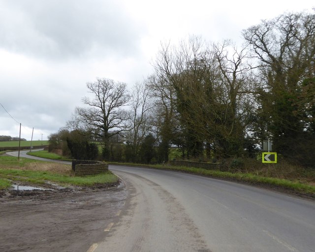
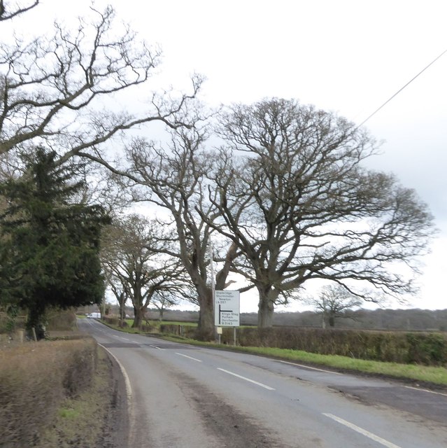
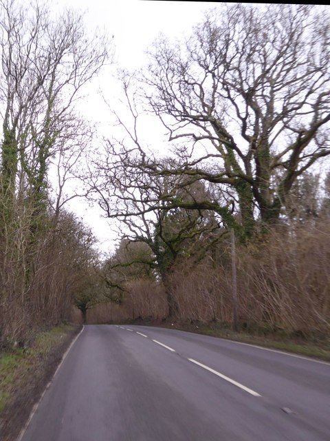
Hydes Withybed is a picturesque woodland located in the county of Dorset, England. It is situated in the southern part of the county, near the village of Hydes. The woodland covers an area of approximately 100 acres and is known for its natural beauty and diverse wildlife.

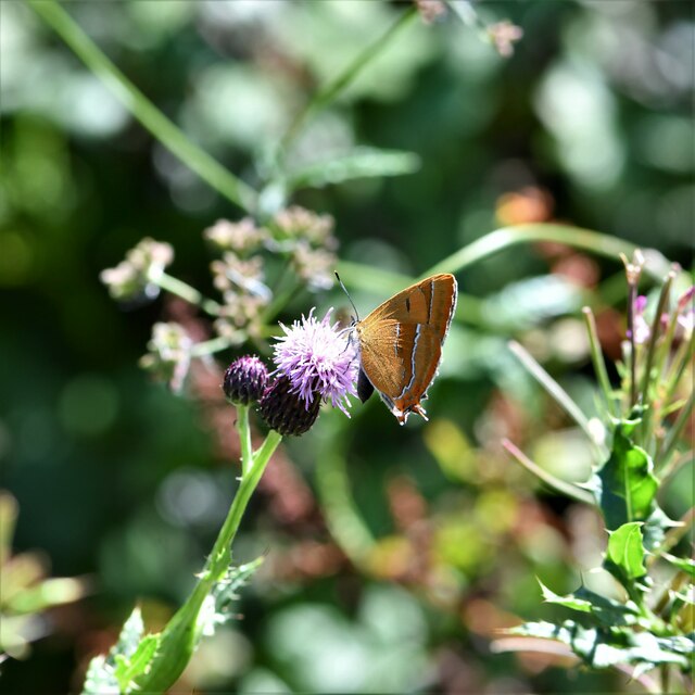
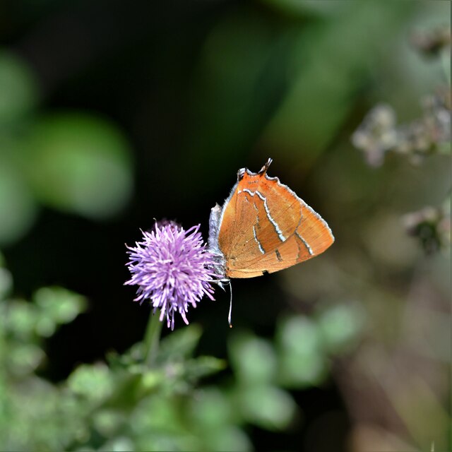
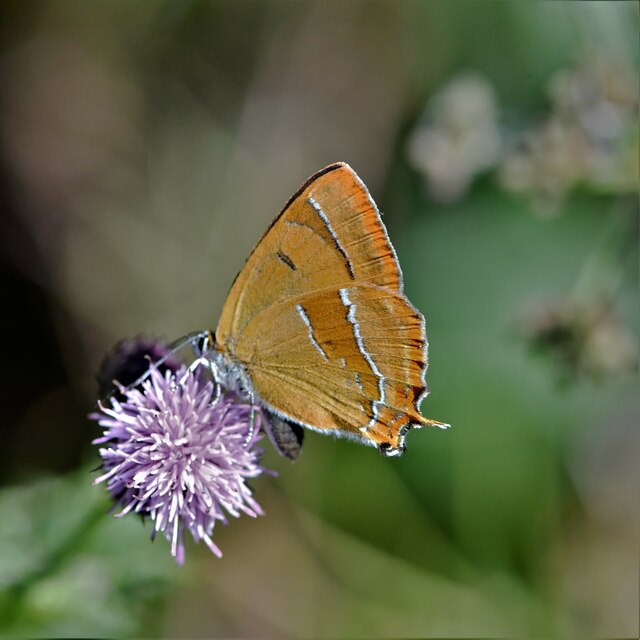
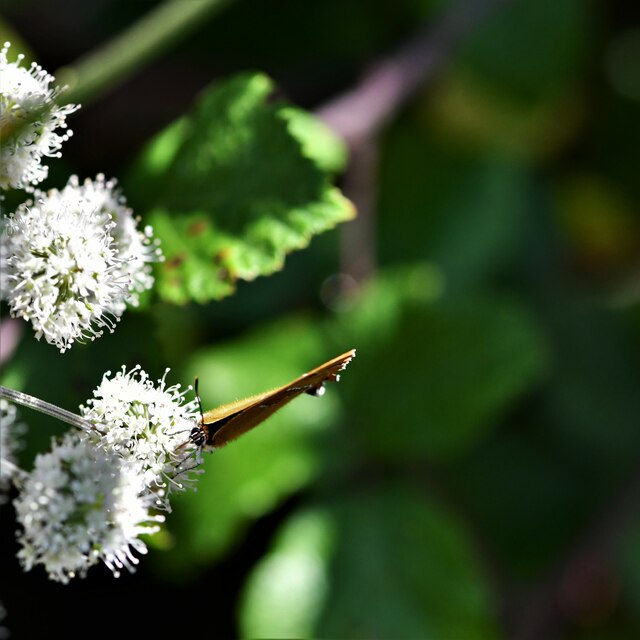
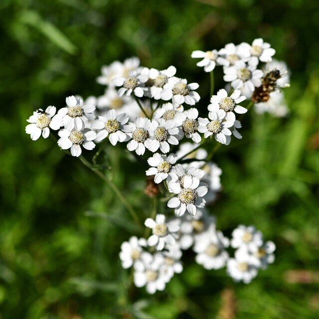
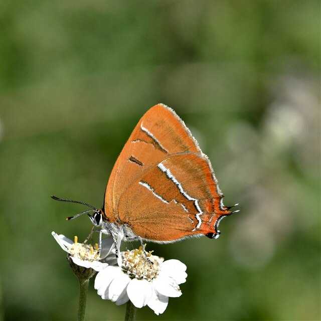
The woodland is predominantly composed of native broadleaf trees, including oak, beech, and ash. These trees create a dense canopy, providing shade and shelter for the various animal species that inhabit the area. Hydes Withybed is home to a wide range of wildlife, including deer, foxes, badgers, and numerous bird species. It is a popular spot for birdwatching enthusiasts, who can catch a glimpse of species such as woodpeckers, owls, and various songbirds.

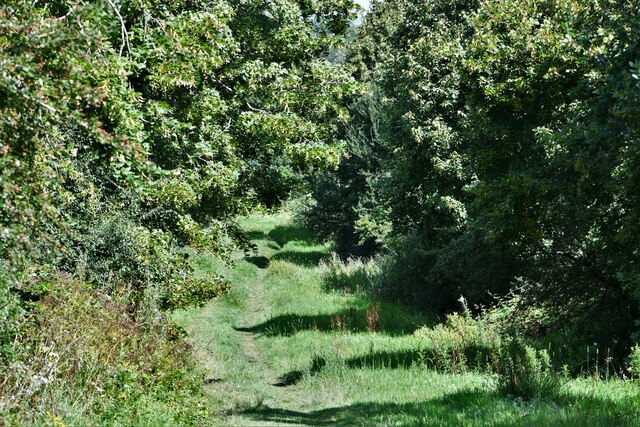
The woodland is crisscrossed with a network of footpaths and trails, allowing visitors to explore its natural wonders. One of the most popular routes is the Hydes Withybed Circular Trail, which takes visitors on a scenic journey through the woodland, offering stunning views and opportunities to spot wildlife along the way. The trail is well-maintained and suitable for all ages and abilities.

Hydes Withybed is also known for its vibrant springtime display of bluebells, which carpet the forest floor in a sea of purple. This attracts many nature lovers and photographers, who flock to the woodland to capture the beauty of this natural spectacle.

Overall, Hydes Withybed is a tranquil and enchanting woodland, offering visitors a chance to immerse themselves in nature and enjoy the wonders of Dorset's countryside.

If you have any feedback on the listing, please let us know in the comments section below.

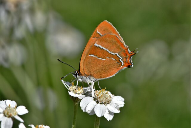
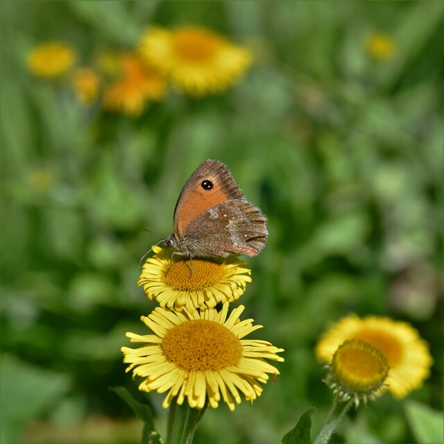
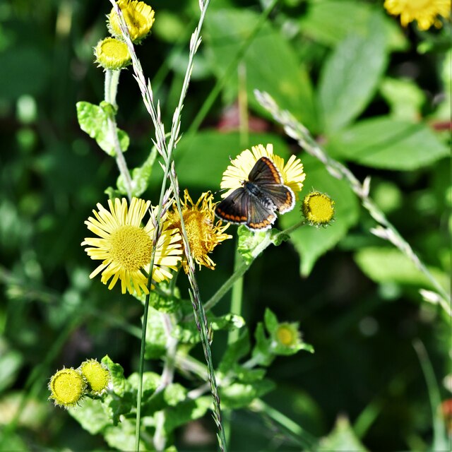
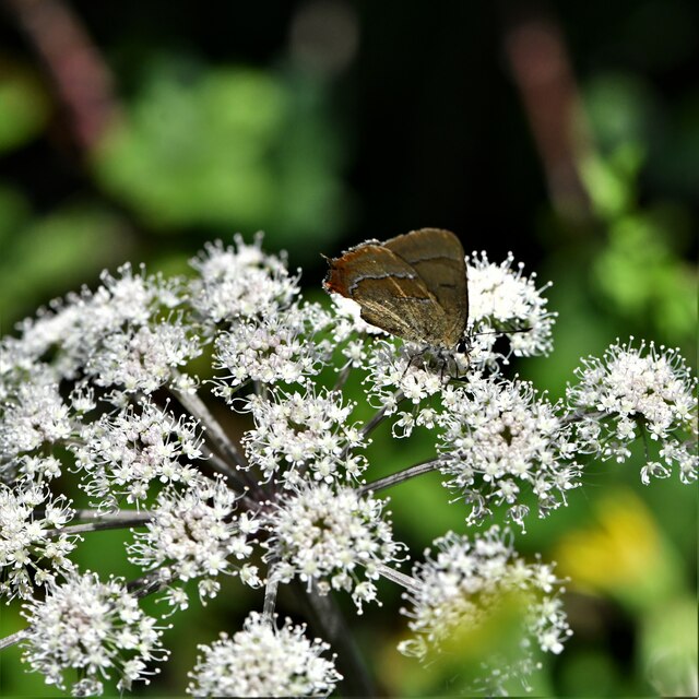
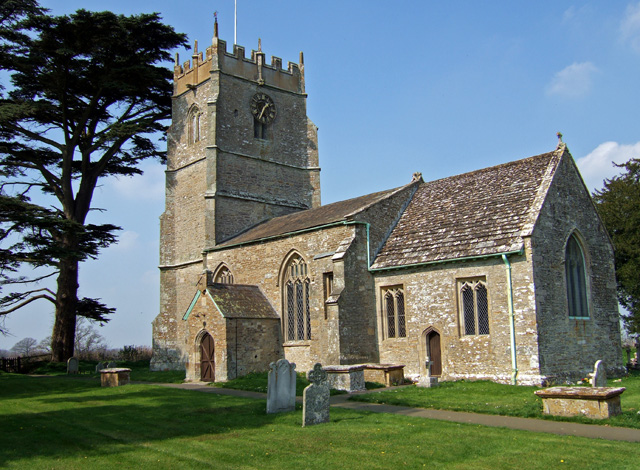
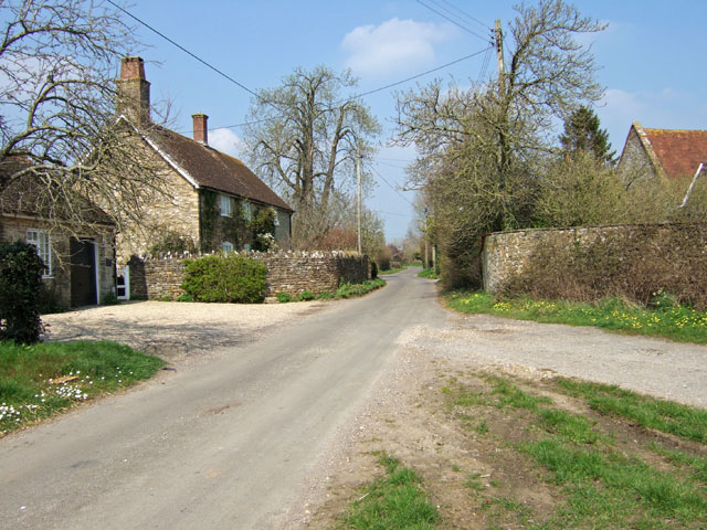
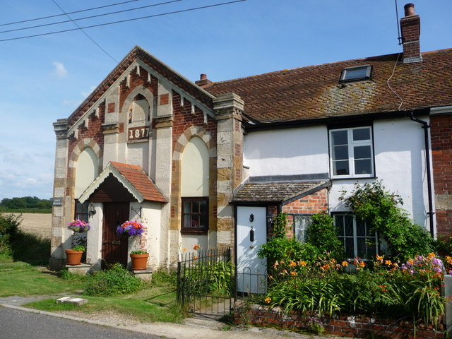
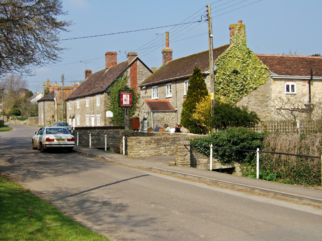
Hydes Withybed Images

Images are sourced within 2km of 50.906848/-2.3836103 or Grid Reference ST7312. Thanks to Geograph Open Source API. All images are credited.

Lower Wood Bridge, east of Bishop's Caundle
Bare trees by the A3030 near Blackrow Lane The sign indicates the turn for Blackrow Lane, leading to King's Stag
Bare trees by the A3030 near Blackrow Lane
The sign indicates the turn for Blackrow Lane, leading to King's Stag
A3030 in Stock Wood, near Lydlinch
Old Bridge Marker on King's Stag Bridge, The Common, Pulham parish Bridge Marker by the UC road, in parish of Pulham (North Dorset District), The Common, King's Stag Bridge.

Inscription reads:-
DORSET
ANY PERSON WILFULLY INJURING
ANY PART OF THIS COUNTY BRIDGE
WILL BE GUILTY OF FELONY AND
UPON CONVICTION LIABLE TO BE
TRANSPORTED FOR LIFE
BY THE COURT
7&8 GEO 4 C30 S13 T FOOKS

King's Stag Bridge is Grade II listed in two parts - one part for each parish.
Hazlebury Bryan parish - List Entry Number: 1287981 <span class="nowrap"><a title="https://historicengland.org.uk/listing/the-list/list-entry/1287981" rel="nofollow ugc noopener" href="https://historicengland.org.uk/listing/the-list/list-entry/1287981">Link</a><img style="margin-left:2px;" alt="External link" title="External link - shift click to open in new window" src="https://s1.geograph.org.uk/img/external.png" width="10" height="10"/></span>
Pulham parish - List Entry Number: 1228069 <span class="nowrap"><a title="https://historicengland.org.uk/listing/the-list/list-entry/1228069" rel="nofollow ugc noopener" href="https://historicengland.org.uk/listing/the-list/list-entry/1228069">Link</a><img style="margin-left:2px;" alt="External link" title="External link - shift click to open in new window" src="https://s1.geograph.org.uk/img/external.png" width="10" height="10"/></span>

Surveyed

Milestone Society National ID: DO_TRAKISbr
Old Bridge Marker on King's Stag Bridge, The Common, Pulham parish
Bridge Marker by the UC road, in parish of Pulham (North Dorset District), The Common, King's Stag Bridge. Inscription reads:- DORSET ANY PERSON WILFULLY INJURING ANY PART OF THIS COUNTY BRIDGE WILL BE GUILTY OF FELONY AND UPON CONVICTION LIABLE TO BE TRANSPORTED FOR LIFE BY THE COURT 7&8 GEO 4 C30 S13 T FOOKS King's Stag Bridge is Grade II listed in two parts - one part for each parish. Hazlebury Bryan parish - List Entry Number: 1287981 LinkExternal link Pulham parish - List Entry Number: 1228069 LinkExternal link Surveyed Milestone Society National ID: DO_TRAKISbr
Direction Sign – Signpost Located on the north side of the A3030 beside the entrance to Woodbridge Farm, opposite Peaceful Lane in Holwell parish. 3 arms, 1 missing, and annulus finial. See also <a title="https://www.geograph.org.uk/photo/458327" href="https://www.geograph.org.uk/photo/458327">Link</a>.

Milestone Society National ID: DO_ST7112
Direction Sign – Signpost
Located on the north side of the A3030 beside the entrance to Woodbridge Farm, opposite Peaceful Lane in Holwell parish. 3 arms, 1 missing, and annulus finial. See also Link. Milestone Society National ID: DO_ST7112
Alners Gorse Butterfly Reserve: Main track
Alners Gorse Butterfly Reserve: Brown Hairstreak 'Thecla betulae' 1
Alners Gorse Butterfly Reserve: Brown Hairstreak 'Thecla betulae' 2
Alners Gorse Butterfly Reserve: Brown Hairstreak 'Thecla betulae' 3
Alners Gorse Butterfly Reserve: Brown Hairstreak 'Thecla betulae' 4
Alners Gorse Butterfly Reserve: Sneezewort 'Achillea ptarmica'
Alners Gorse Butterfly Reserve: Brown Hairstreak 'Thecla betulae' 5
Alners Gorse Butterfly Reserve: Brown Hairstreak 'Thecla betulae' 6
Alners Gorse Butterfly Reserve: Gatekeeper 'Pyronia tithonus' on Fleabane 'Pulicaria dysenterica'
Alners Gorse Butterfly Reserve: Brown argus 'Aricia agestis'
Alners Gorse Butterfly Reserve: White Letter Hairstreak 'Satyrium w-album' A very elusive butterfly.
Alners Gorse Butterfly Reserve: White Letter Hairstreak 'Satyrium w-album'
A very elusive butterfly.
St Thomas a Becket Church Lydlinch The church was completed in 1479 but with an earlier 13th century tower, restored in Tudor times.
St Thomas a Becket Church Lydlinch
The church was completed in 1479 but with an earlier 13th century tower, restored in Tudor times.
Lydlinch
Lydlinch
Show me another place!

Hydes Withybed is located at Grid Ref: ST7312 (Lat: 50.906848, Lng: -2.3836103)

Unitary Authority: Dorset

Police Authority: Dorset

What 3 Words

///spooned.carbonate.microfilm. Near Stalbridge, Dorset

Related Wikis

King's Stag Memorial Chapel

King's Stag Memorial Chapel is a Church of England chapel in King's Stag, Dorset, England. == History == The memorial chapel at King's Stag was built in...

Woodbridge, Dorset

Woodbridge is a hamlet in Dorset, England. The village is on the A3030 road and to the north east of Holwell. == History == Woodbridge was part of the...

Lydlinch

Lydlinch is a village and civil parish in the Blackmore Vale in north Dorset, England, about three miles (five kilometres) west of Sturminster Newton....

Bagber

Bagber is a hamlet in the county of Dorset in southern England, situated about 2 miles (3.2 km) west and northwest of Sturminster Newton in the North Dorset...

Caundle Brook

Caundle Brook is a 13.4 miles (21.6 km) tributary of the River Lydden that flows through Blackmore Vale in Dorset, England.Its headwaters rise at the foot...
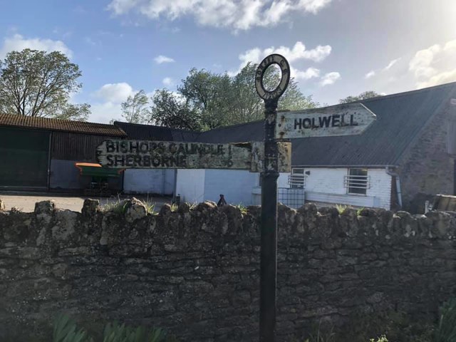
Holwell, Dorset

Holwell is a village and civil parish in the county of Dorset in southern England, situated approximately 5 miles (8.0 km) south-east of Sherborne. It...

Hazelbury Bryan

Hazelbury Bryan is a village and civil parish in the county of Dorset in southern England. It is situated in the Blackmore Vale, approximately five miles...

Stourton Caundle

Stourton Caundle is a village and civil parish in the county of Dorset in southwest England. It lies within the Blackmore Vale, about five miles (eight...

Nearby Amenities

Located within 500m of 50.906848,-2.3836103
The data included in this document is from www.openstreetmap.org. The data is made available under ODbL.

Have you been to Hydes Withybed?

Leave your review of Hydes Withybed below (or comments, questions and feedback).