The Gorse

Wood, Forest in Shropshire

England

The Gorse

North Staffs Hunt Boxing Day meet at Woore
North Staffs Hunt Boxing Day meet at Woore Credit: Jonathan Hutchins

The Gorse is a beautiful woodland area located in Shropshire, England. It is a mixed woodland, predominantly made up of gorse bushes, which give the area its name. The Gorse is a popular destination for nature lovers and outdoor enthusiasts, offering a peaceful and serene environment for visitors to explore.

The woodland is home to a variety of wildlife, including deer, rabbits, and a wide range of bird species. Visitors may also catch a glimpse of the occasional badger or fox roaming the forest floor. The diverse ecosystem of The Gorse provides a unique opportunity for nature enthusiasts to observe and appreciate the natural world.

The Gorse is a great place for walking, hiking, and bird watching, with a network of well-maintained trails that wind through the forest. There are also several picnic areas and benches scattered throughout the woodland, making it an ideal spot for a relaxing day out in nature.

Overall, The Gorse in Shropshire is a picturesque and tranquil woodland area that offers visitors a chance to connect with nature and enjoy the beauty of the British countryside.

If you have any feedback on the listing, please let us know in the comments section below.
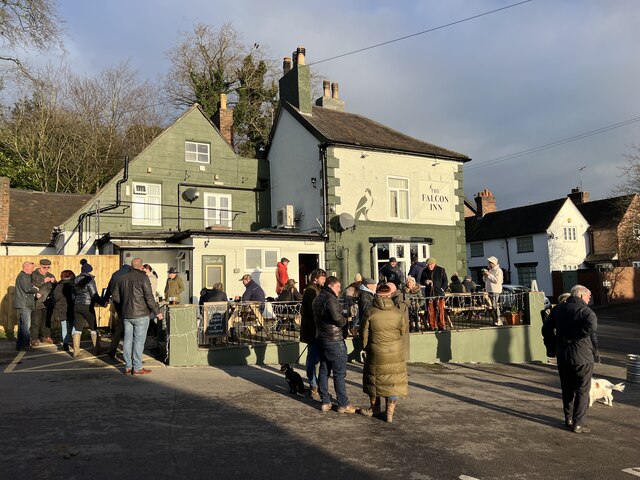
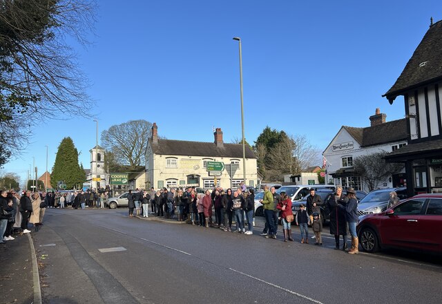
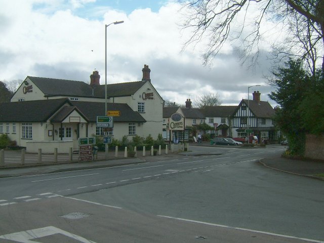
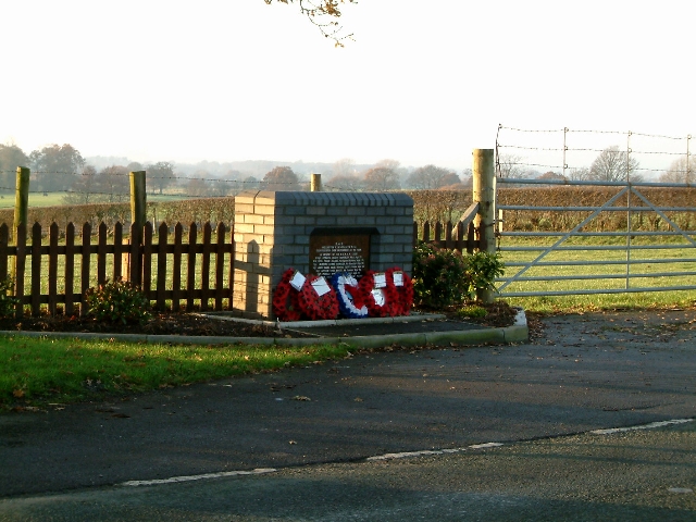
The Gorse Images

Images are sourced within 2km of 52.993287/-2.4019247 or Grid Reference SJ7344. Thanks to Geograph Open Source API. All images are credited.

North Staffs Hunt Boxing Day meet at Woore
Woore Crossroads The crossroads through the village centre.
Woore Crossroads
The crossroads through the village centre.
Memorial to the Airmen who died when their plane disintegrated on the 28th October 1944
Bridgemere - valley of Forge Brook Bridgemere: view down valley of Forge Brook. Typical of the many small streams that cut wooded valleys through the undulating countryside on the borders of Cheshire, Shropshire and Staffordshire.
Bridgemere - valley of Forge Brook
Bridgemere: view down valley of Forge Brook. Typical of the many small streams that cut wooded valleys through the undulating countryside on the borders of Cheshire, Shropshire and Staffordshire.
Woore - Phynsons Hayes Farm Woore: Phynsons Hayes Farm, near the Cheshire border. A lot of development is going on here - new stables, pheasant shooting in the woods along Forge Brook, a fishing pond. Like so many farms in the area this looks to be on its way to becoming a rural des.res.
Woore - Phynsons Hayes Farm
Woore: Phynsons Hayes Farm, near the Cheshire border. A lot of development is going on here - new stables, pheasant shooting in the woods along Forge Brook, a fishing pond. Like so many farms in the area this looks to be on its way to becoming a rural des.res.
Checkley - near Checkley Wood Farm Checkley: view from near Checkley Wood Farm towards Wrinehill Wood and the point where Cheshire, Shropshire and Staffordshire meet.
Checkley - near Checkley Wood Farm
Checkley: view from near Checkley Wood Farm towards Wrinehill Wood and the point where Cheshire, Shropshire and Staffordshire meet.
Checkley - Checkley Wood New Farm Checkley: Checkley Wood New Farm. The old farmhouse further to the SW now appears to be becoming derelict.
Checkley - Checkley Wood New Farm
Checkley: Checkley Wood New Farm. The old farmhouse further to the SW now appears to be becoming derelict.
Checkley - Mallard House on Checkley Lane Checkley: Mallard House on Checkley Lane; plenty of waterfowl on the pond - including the eponymous mallards!
Checkley - Mallard House on Checkley Lane
Checkley: Mallard House on Checkley Lane; plenty of waterfowl on the pond - including the eponymous mallards!
Bridgemere Garden World The largest garden centre in the area, Bridgemere occupies an extensive site just east of the A51 and is always busy at the weekend, even in the winter rain. This view shows the main building and restaurant
Bridgemere Garden World
The largest garden centre in the area, Bridgemere occupies an extensive site just east of the A51 and is always busy at the weekend, even in the winter rain. This view shows the main building and restaurant
Winter colour at Bridgemere Garden World Bridgemere Garden World is the largest garden centre in the area. This view shows the coffee bar and some of the greenhouses on a rainy winter afternoon
Winter colour at Bridgemere Garden World
Bridgemere Garden World is the largest garden centre in the area. This view shows the coffee bar and some of the greenhouses on a rainy winter afternoon
Bridgemere Garden World Bridgemere Garden World is the largest garden centre in the area. This view shows the main exit and tills on a rainy winter afternoon. The A51 runs just beyond the line of trees
Bridgemere Garden World
Bridgemere Garden World is the largest garden centre in the area. This view shows the main exit and tills on a rainy winter afternoon. The A51 runs just beyond the line of trees
Bridgemere Farm Taken from the A51 with my back to the Memorial to the Airmen.
Bridgemere Farm
Taken from the A51 with my back to the Memorial to the Airmen.
St Leonard's Church, Woore St. Leonard's church was constructed in 1832 and is of an unconventional white plaster design
St Leonard's Church, Woore
St. Leonard's church was constructed in 1832 and is of an unconventional white plaster design
Enter West Entering Woore from the West on the A525 (from Audlem)
Enter West
Entering Woore from the West on the A525 (from Audlem)
Badger Lake A nice little dwelling by the A525. The actual lake is behind trees to the left of the house.
Badger Lake
A nice little dwelling by the A525. The actual lake is behind trees to the left of the house.
Junction of A525 and Aston Lane. Badger Lake is behind the wall on the left.
Junction of A525 and Aston Lane.
Badger Lake is behind the wall on the left.
Rural homes alongside the A525 Looking East towards Woore
Rural homes alongside the A525
Looking East towards Woore
Show me another place!

The Gorse is located at Grid Ref: SJ7344 (Lat: 52.993287, Lng: -2.4019247)

Unitary Authority: Shropshire

Police Authority: West Mercia

What 3 Words

///drizzly.exotic.divider. Near Madeley, Staffordshire

Nearby Locations

The Gorse

Related Wikis

Woore

Woore is a village and civil parish in the north east of Shropshire, England, of about 3,950 acres (1,600 hectares). It had a population of 1,004 in the...

Bridgemere

Bridgemere is a village (at SJ717454) and former civil parish, now in the parish of Doddington and District, in the unitary authority area of Cheshire...

Checkley Hall

Checkley Hall is a small country house in the parish of Doddington and District (until 2023 Checkley cum Wrinehill), in Cheshire, England. The house was...

Onneley

Onneley is a hamlet in the Borough of Newcastle-under-Lyme, Staffordshire.Situated within Onneley is the local Golf and Cricket club. Onneley Cricket club...

Have you been to The Gorse?

Leave your review of The Gorse below (or comments, questions and feedback).