Rowley Coppice

Wood, Forest in Worcestershire Malvern Hills

England

Rowley Coppice

Bend on B4202 near Beehive Farm Road on right leads to Beehive Farm
Bend on B4202 near Beehive Farm Credit: John Firth

Rowley Coppice is a picturesque woodland located in Worcestershire, England. Spread across an area of approximately 100 acres, it is known for its natural beauty and diverse range of flora and fauna. The coppice is situated within the wider Rowley Wood, a larger forested area in the region.

The woodland is predominantly made up of deciduous trees, such as oak, beech, and birch, which provide a stunning display of vibrant colors during the autumn months. The forest floor is covered in a lush carpet of ferns, mosses, and wildflowers, creating a serene and tranquil atmosphere.

Rowley Coppice is a popular destination for nature enthusiasts, hikers, and birdwatchers. The varied habitat attracts a wide range of bird species, including woodpeckers, owls, and warblers. Visitors can often spot squirrels, rabbits, and even deer roaming freely throughout the woodland.

There are several well-marked walking trails that meander through the coppice, allowing visitors to explore the area at their own pace. These trails offer breathtaking views of the surrounding Worcestershire countryside and provide opportunities for both leisurely strolls and more challenging hikes.

Rowley Coppice is also home to a number of historical features, including remnants of ancient woodland management practices, such as coppicing. The area has been used for timber production for centuries, and evidence of these practices can still be seen today.

Overall, Rowley Coppice is a haven of natural beauty, offering visitors a chance to escape the hustle and bustle of everyday life and immerse themselves in the tranquility of the Worcestershire countryside.

If you have any feedback on the listing, please let us know in the comments section below.

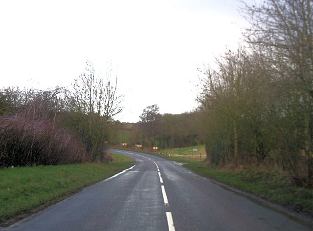
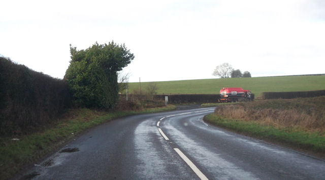
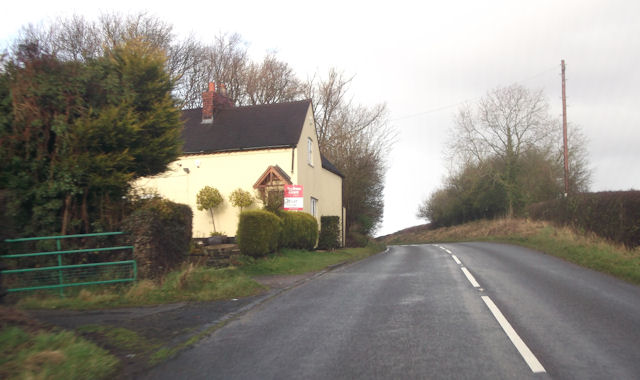
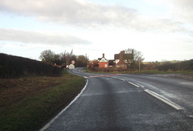
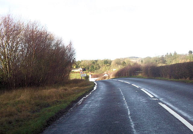
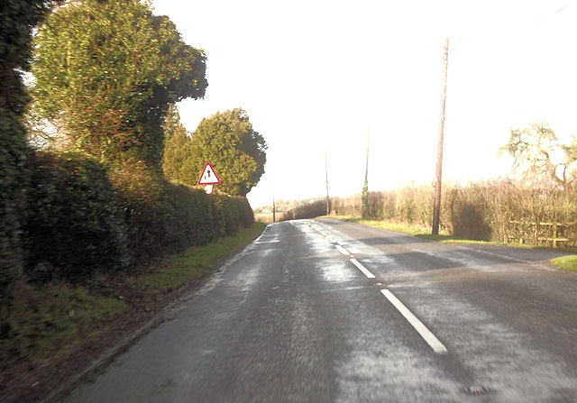
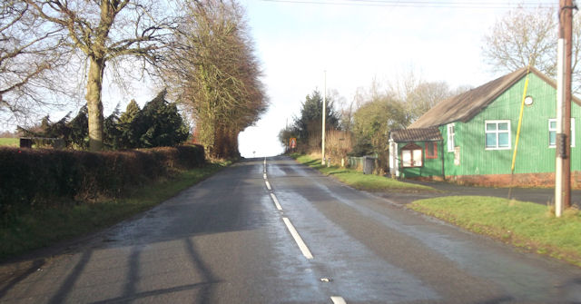
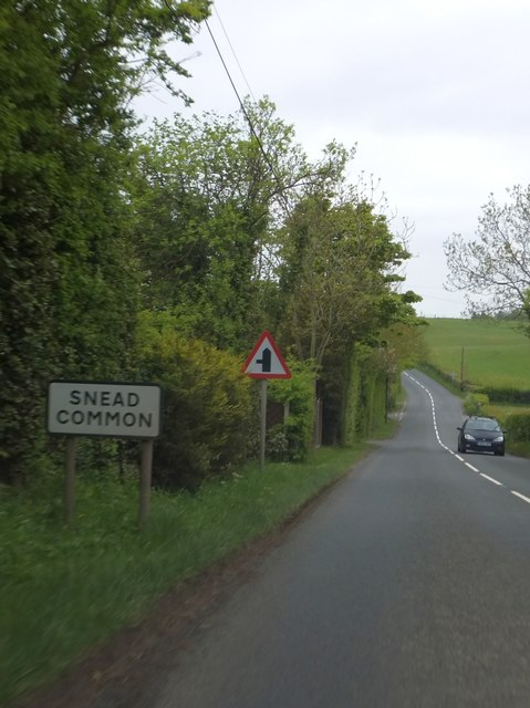
Rowley Coppice Images

Images are sourced within 2km of 52.319923/-2.4007802 or Grid Reference SO7269. Thanks to Geograph Open Source API. All images are credited.

Bend on B4202 near Beehive Farm Road on right leads to Beehive Farm
Bend on B4202 near Beehive Farm
Road on right leads to Beehive Farm
Lay by on Bend on B4202 Just south of entrance to St Clairs Farm
Lay by on Bend on B4202
Just south of entrance to St Clairs Farm
Lilac Cottage on B4202 South of Pensax
Lilac Cottage on B4202
South of Pensax
Entering Pensax from the south The building ahead is The Bell
Entering Pensax from the south
The building ahead is The Bell
Running into Snead Common on B4202
Approaching the School From the entrance to The Snead on B4202
Approaching the School
From the entrance to The Snead on B4202
B4202 at Pensax Village Hall
Snead Common The turning on the left leads to further houses in this small settlement.  There are several behind the hedges on the left of the B4202
Snead Common
The turning on the left leads to further houses in this small settlement. There are several behind the hedges on the left of the B4202
Junction in Snead Common The road on the left leads to further houses and farms.  Opposite are two rights-of-way along tracks to other farms
Junction in Snead Common
The road on the left leads to further houses and farms. Opposite are two rights-of-way along tracks to other farms
Lay-by and speed derestriction south of Snead Common
Lay-by on B4202 north of Abberley This lay-by appears to use the original route of the road, which takes a sharp bend here.  Behind the chevron sign, there is a footpath sign, for a path leading to Abberley
Lay-by on B4202 north of Abberley
This lay-by appears to use the original route of the road, which takes a sharp bend here. Behind the chevron sign, there is a footpath sign, for a path leading to Abberley
Suffolk Lane, Abberley The sign states that this curiously named lane leads to Bank Lane.  The latter is close to the stream bank, or the slope of the hill.
Suffolk Lane, Abberley
The sign states that this curiously named lane leads to Bank Lane. The latter is close to the stream bank, or the slope of the hill.
View to Abberley Hill View across farmland to Abberley Hill from a footpath near Hawkley Farm.  The weather had now deteriorated with cold sleety rain falling.
View to Abberley Hill
View across farmland to Abberley Hill from a footpath near Hawkley Farm. The weather had now deteriorated with cold sleety rain falling.
The Bell Inn, Pensax
Pensax Primary School..what a shame it's in ruins now
Menith Wood Old Chapel hall The village hall Menith Wood, a straggling community of smallholdings on the South facing slopes of the Teme Valley. This village hall has been enterprisingly renovated by the villagers from the redundant chapel. (Just in this square!!)
Menith Wood Old Chapel hall
The village hall Menith Wood, a straggling community of smallholdings on the South facing slopes of the Teme Valley. This village hall has been enterprisingly renovated by the villagers from the redundant chapel. (Just in this square!!)
Sharp bend on the B4202 This sharp bend on the B4202 is just north of the village of Abberley. The house in the background is Field Farm.
Sharp bend on the B4202
This sharp bend on the B4202 is just north of the village of Abberley. The house in the background is Field Farm.
Lane at Snead Common
Show me another place!

Rowley Coppice is located at Grid Ref: SO7269 (Lat: 52.319923, Lng: -2.4007802)

Administrative County: Worcestershire

District: Malvern Hills

Police Authority: West Mercia

What 3 Words

///buckets.zest.debut. Near Bewdley, Worcestershire

Nearby Locations

Rowley Coppice

Related Wikis

Pensax

Pensax is a village and civil parish of northwest Worcestershire in England, incorporating the hamlet of Menithwood to the west of Pensax Common. According...

Rock moated site and medieval village

Rock moated site and medieval village is an archaeological site, including a deserted medieval village, in Worcestershire, England, near the village of...
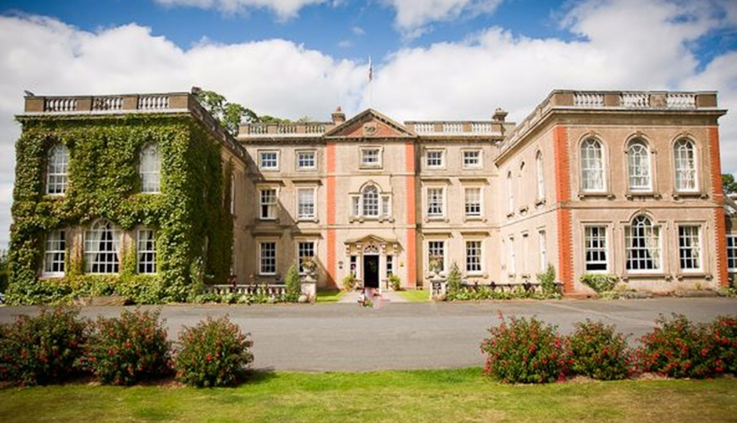
The Elms, Abberley

The Elms Hotel in Abberley, Worcestershire is a building of historical significance and is Grade II listed on the English Heritage Register. It was built...

Church of St Peter and St Paul, Rock

The Church of St Peter and St Paul is an Anglican church in the village of Rock, in Worcestershire, England. It is in the parish of Rock with Heightington...

Related Videos

18 October 2023

Part 1 - What an amazing place to have a romantic weekend with your other half or a posh hen do or just a little escape.

Best Birthday Spa! #theelmsspa #thebeekeeper #weekendgetaway #Birthdayspaideas

BestSpaInWestMidlands #mybubblebees #WorcesterSpa #Birthdayideas #naturespa #jacuzzi.

THE ULTIMATE LUXURY SPA - THE ELMS, WORCESTERSHIRE

Join me for the ultimate luxury stay at another one of the UK's best spa hotels - The Elms, a stunning boutique hotel in the heart of ...

J E S S I C A + D A N I E L | Highlight Film | The Elms Worcestershire Wedding Videographer

J E S S I C A + D A N I E L | "Love Story" Highlight Film Let's have a blast to Jess & Dan's Wedding from last November at the ...

Nearby Amenities

Located within 500m of 52.319923,-2.4007802
Pensax
Created By: Potlatch 0.10f
Place: hamlet
Source: NPE
Wikidata: Q1992913
Lat/Long: 52.317684/-2.4070648
The Bell- Pensax
Naptan AtcoCode: 2000G155400
Naptan Bearing: N
Naptan BusStopType: CUS
Naptan CommonName: The Bell- Pensax
Naptan Indicator: Adj
Naptan Landmark: Public House
Naptan NaptanCode: wocdpdja
Naptan Street: Pensax Court Road
Naptan Verified: no
Source: naptan_import
Lat/Long: 52.317901/-2.4057643
The Bell- Pensax
Naptan AtcoCode: 2000G581596
Naptan Bearing: N
Naptan BusStopType: CUS
Naptan CommonName: The Bell- Pensax
Naptan Indicator: Opp
Naptan Landmark: Public house
Naptan NaptanCode: wocgmwgj
Naptan Street: Pensax Court Road
Naptan Verified: no
Source: naptan_import
Lat/Long: 52.3182607/-2.4059889
Barrier: stile
Material: wood
Stile: stepover
Lat/Long: 52.3184713/-2.3941624
Barrier: stile
Material: wood
Stile: stepover
Lat/Long: 52.3177806/-2.3975913
Barrier: stile
Material: wood
Stile: stepover
Lat/Long: 52.3182704/-2.3958561
Snead Commmon
Place: hamlet
Source: OS _OpenData _StreetView
Lat/Long: 52.322006/-2.3942685
Barrier: stile
Lat/Long: 52.3195697/-2.3990133
Barrier: stile
Lat/Long: 52.3207977/-2.3981336
Barrier: stile
Material: wood
Stile: stepover
Lat/Long: 52.3176941/-2.3984018
Power: pole
Lat/Long: 52.3212207/-2.4016909
Spring Meadow - Trans
Fixme: contines N
Power: pole
Transformer: distribution
Voltage Primary: 11000
Lat/Long: 52.3220002/-2.4016634
Power: pole
Lat/Long: 52.3191713/-2.4075857
Pensax Court West
Power: pole
Transformer: distribution
Voltage Primary: 11000
Lat/Long: 52.3185069/-2.4065041
St James Church
Power: pole
Transformer: distribution
Voltage Primary: 11000
Lat/Long: 52.3185516/-2.4071686
Power: pole
Lat/Long: 52.3198632/-2.408047
Power: pole
Lat/Long: 52.3203878/-2.4067663
Power: pole
Lat/Long: 52.3203911/-2.4055137
Power: pole
Lat/Long: 52.3203813/-2.4042825
Power: pole
Lat/Long: 52.3203813/-2.4030755
Power: pole
Lat/Long: 52.3203919/-2.4018498
Pensax Court
Power: pole
Transformer: distribution
Voltage Primary: 11000
Lat/Long: 52.3191066/-2.4026611
Power: pole
Lat/Long: 52.31925/-2.4014904
Power: pole
Lat/Long: 52.3183526/-2.4011944
Power: pole
Lat/Long: 52.3174932/-2.400911
Limekiln Cottage
Power: pole
Transformer: distribution
Voltage Primary: 11000
Lat/Long: 52.3174711/-2.3983026
Power: pole
Lat/Long: 52.3170792/-2.3994251
Power: pole
Lat/Long: 52.3165242/-2.4009519
Power: pole
Lat/Long: 52.3157368/-2.4009673
Defibrillator
Access: yes
Defibrillator Location: Against wall
Emergency: defibrillator
Indoor: no
Opening Hours: 24/7
Phone: 999
Lat/Long: 52.3175324/-2.405783
The data included in this document is from www.openstreetmap.org. The data is made available under ODbL.

Have you been to Rowley Coppice?

Leave your review of Rowley Coppice below (or comments, questions and feedback).