Holtham Plantation

Wood, Forest in Dorset

England

Holtham Plantation

House Fourways at junction at south end of village
House Fourways at junction at south end of village Credit: John Firth

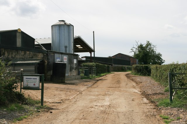
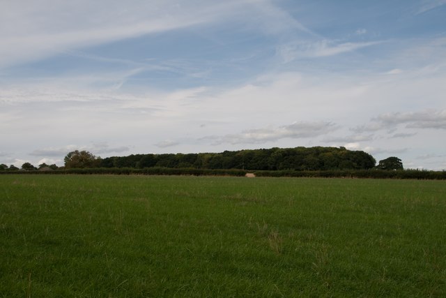
Holtham Plantation is a picturesque woodland area located in the county of Dorset, England. Covering an expansive area, the plantation is known for its dense forests, diverse flora and fauna, and serene atmosphere.

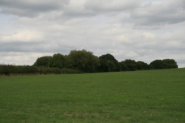
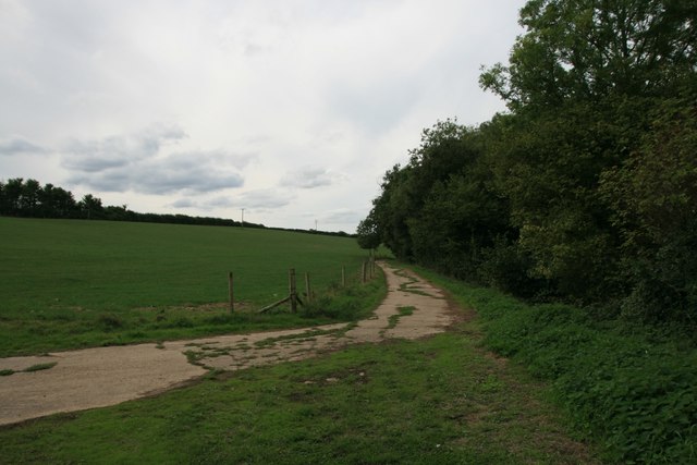
The woodlands of Holtham Plantation are primarily composed of towering oak, beech, and pine trees, creating a magnificent canopy that filters sunlight and provides shelter to a variety of wildlife. The forest floor is adorned with a rich carpet of mosses, ferns, and wildflowers, adding to the natural beauty of the area. The plantation is also home to a network of winding trails, inviting visitors to explore and immerse themselves in the tranquility of the surroundings.

The diverse ecosystem of Holtham Plantation supports a wide range of wildlife. Birds such as woodpeckers, owls, and thrushes can be spotted among the branches, while small mammals like squirrels, foxes, and badgers make their homes in the undergrowth. The occasional sighting of deer grazing in the clearings adds to the enchanting ambiance of the woodland.

The plantation is open to the public year-round, offering a haven for nature enthusiasts, hikers, and photographers. There are designated picnic areas and benches for visitors to relax and enjoy the peacefulness of the surroundings. The management of the plantation also organizes guided walks and educational programs for schools and community groups, promoting awareness and conservation of the local ecosystem.

Holtham Plantation, with its captivating woodlands, abundant wildlife, and serene ambiance, is a true gem of Dorset, offering a tranquil retreat for all who visit.

If you have any feedback on the listing, please let us know in the comments section below.

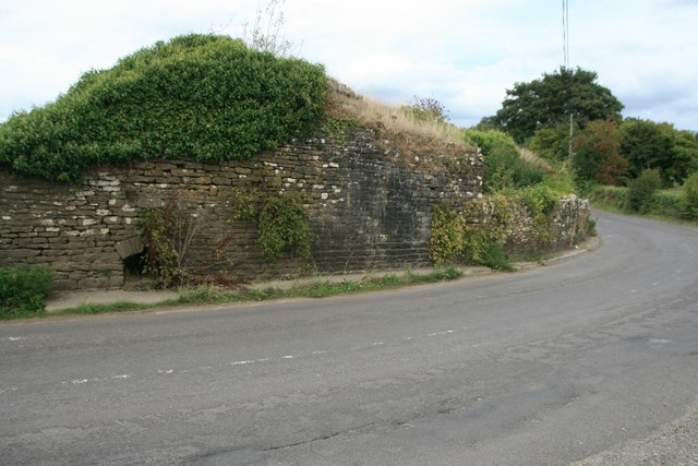
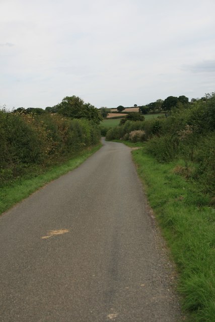
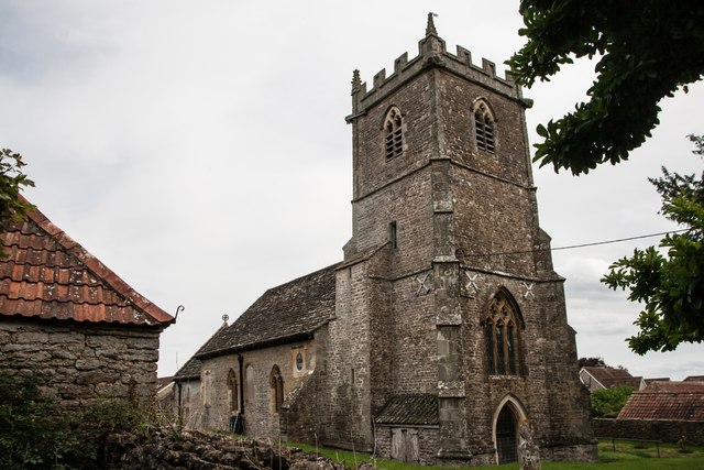
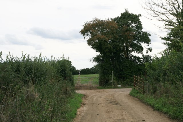
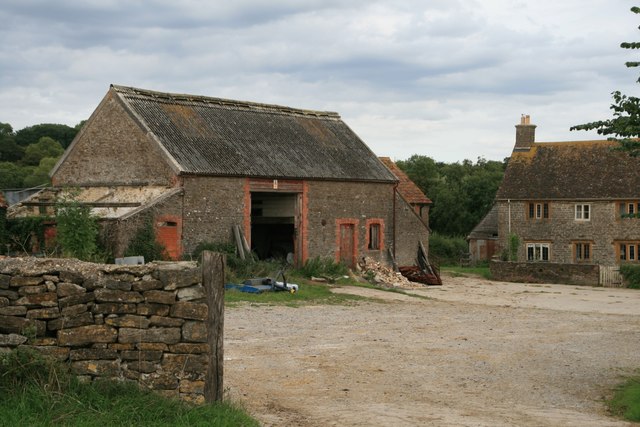
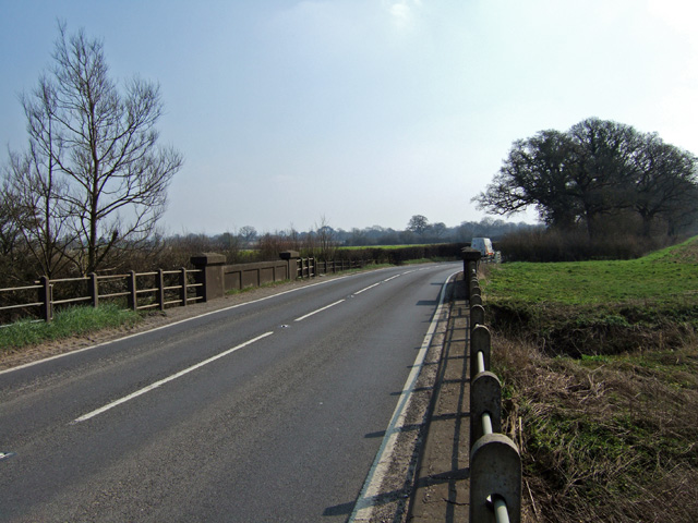
Holtham Plantation Images

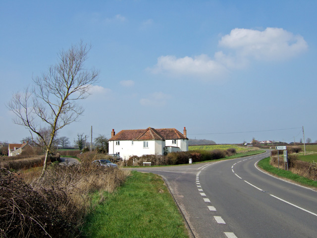
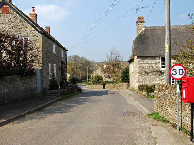
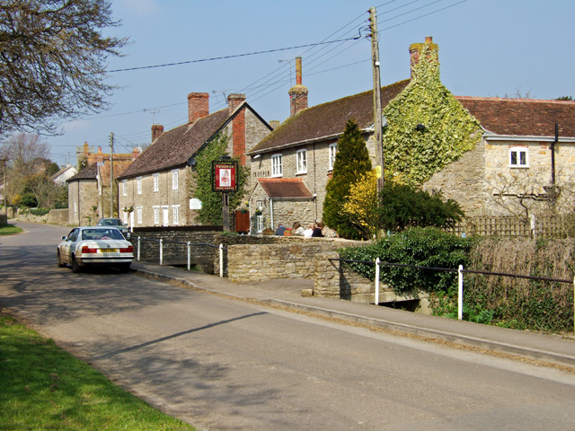
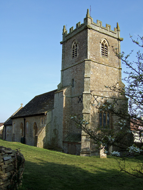
Images are sourced within 2km of 50.938804/-2.3898935 or Grid Reference ST7215. Thanks to Geograph Open Source API. All images are credited.

House Fourways at junction at south end of village
Basel Bridge Stalbridge Part of the Park Wall at Stalbridge
Basel Bridge Stalbridge
Part of the Park Wall at Stalbridge
Drove Road, Stourton Caundle
Sturt Coppice
Sturt Coppice
Manor Farm
Manor Farm
Footpath through farmland, Stourton Caundle
New Leaze Wood
New Leaze Wood
Benchmark St Peter's Church, Stourton Caundle See also <a href="https://www.geograph.org.uk/photo/5891489">ST7115 : St Peter's Church, Stourton Caundle</a>.
Benchmark St Peter's Church, Stourton Caundle
St Peter's Church, Stourton Caundle There is an Ordnance Survey benchmark on this building, see <a href="https://www.geograph.org.uk/photo/5891488">ST7115 : Benchmark St Peter's Church, Stourton Caundle</a>.
St Peter's Church, Stourton Caundle
There is an Ordnance Survey benchmark on this building, see ST7115 : Benchmark St Peter's Church, Stourton Caundle.
Entrance to Sturt Farm
Sturt Farm
Sturt Farm
Old Boundary Marker on Waterloo Lane near Warr Bridge Parish Boundary Marker on the west side of the junction of Waterloo Lane and the A357 Cook's Lane north of Warr Bridge, opposite toll house DO.STA. On the border of Stourton Caundle and Stalbridge parishes.

Milestone Society National ID: DO_STCAST01pb
Old Boundary Marker on Waterloo Lane near Warr Bridge
Parish Boundary Marker on the west side of the junction of Waterloo Lane and the A357 Cook's Lane north of Warr Bridge, opposite toll house DO.STA. On the border of Stourton Caundle and Stalbridge parishes. Milestone Society National ID: DO_STCAST01pb
Warr Bridge View is of the road bridge crossing of the Caundle Brook, looking south along the A357 towards its junction with the A3030.
Warr Bridge
View is of the road bridge crossing of the Caundle Brook, looking south along the A357 towards its junction with the A3030.
House near Warr Bridge I hesitate to describe this substantial property as a former Toll House, as it seems far too large, yet its architectural style suggests that it might have been at one time. The view is towards the north on the main A357 to Shepton Mallet, at its junction with the minor road to Stourton Caundle.
House near Warr Bridge
I hesitate to describe this substantial property as a former Toll House, as it seems far too large, yet its architectural style suggests that it might have been at one time. The view is towards the north on the main A357 to Shepton Mallet, at its junction with the minor road to Stourton Caundle.
Stourton Caundle from the South
Village Street and Pub at Stourton Caundle A fine Spring day, where drinkers at The Trooper were outside, basking in the warm afternoon sun. The pub is Grade II listed, and may have originally been a mid C19 house.
Village Street and Pub at Stourton Caundle
A fine Spring day, where drinkers at The Trooper were outside, basking in the warm afternoon sun. The pub is Grade II listed, and may have originally been a mid C19 house.
Stourton Caundle Church St Peter's church is 700 years old with a 14th century tower.
Stourton Caundle Church
St Peter's church is 700 years old with a 14th century tower.
Stourton Caundle Village Street The house on the left is Brownshawl Farm.
Stourton Caundle Village Street
The house on the left is Brownshawl Farm.
Show me another place!

Holtham Plantation is located at Grid Ref: ST7215 (Lat: 50.938804, Lng: -2.3898935)

Unitary Authority: Dorset

Police Authority: Dorset

What 3 Words

///gratitude.humans.layover. Near Stalbridge, Dorset

Related Wikis

Stourton Caundle

Stourton Caundle is a village and civil parish in the county of Dorset in southwest England. It lies within the Blackmore Vale, about five miles (eight...

Caundle Brook

Caundle Brook is a 13.4 miles (21.6 km) tributary of the River Lydden that flows through Blackmore Vale in Dorset, England.Its headwaters rise at the foot...

Brownshall Hundred

Brownshall Hundred was a hundred in the county of Dorset, England, containing the following parishes: Holwell (transferred from Somerset 1844) Lydlinch...

Stalbridge

Stalbridge () is a town and civil parish in Dorset, England, situated in the Blackmore Vale, near the border with Somerset. In the 2011 census the civil...

Nearby Amenities

Located within 500m of 50.938804,-2.3898935
Holtham Plantation
Place: locality
Lat/Long: 50.9386739/-2.389937
Man Made: mast
Lat/Long: 50.9370423/-2.3863378
The data included in this document is from www.openstreetmap.org. The data is made available under ODbL.

Have you been to Holtham Plantation?

Leave your review of Holtham Plantation below (or comments, questions and feedback).