Huntingford Brake
Wood, Forest in Gloucestershire
England
Huntingford Brake
Huntingford Brake is a picturesque wood located in the county of Gloucestershire, England. Situated within the enchanting Forest of Dean, it is a haven for nature enthusiasts and outdoor adventurers alike. Covering an area of approximately 100 acres, this ancient woodland is renowned for its natural beauty and diverse wildlife.
The wood is primarily composed of majestic oak trees, which provide a stunning canopy that changes with the seasons. In spring, vibrant bluebells carpet the forest floor, creating a breathtaking spectacle. This vibrant display attracts numerous visitors each year, eager to witness the woodland transform into a sea of blue.
Huntingford Brake is home to a wide variety of wildlife, including deer, badgers, foxes, and an array of bird species. Nature lovers can enjoy peaceful walks along the well-maintained trails, observing the creatures that call this woodland their home.
For those seeking a more active experience, the wood offers opportunities for hiking, birdwatching, and even mountain biking. The undulating terrain and well-marked paths make it an ideal location for outdoor pursuits.
Huntingford Brake is also steeped in history, with evidence of human habitation dating back thousands of years. Remnants of ancient settlements and iron ore mines can be found within the wood, providing a glimpse into the area's past.
Overall, Huntingford Brake is a truly remarkable woodland, offering visitors a chance to immerse themselves in the beauty of nature, explore its rich history, and enjoy a range of outdoor activities.
If you have any feedback on the listing, please let us know in the comments section below.
Huntingford Brake Images
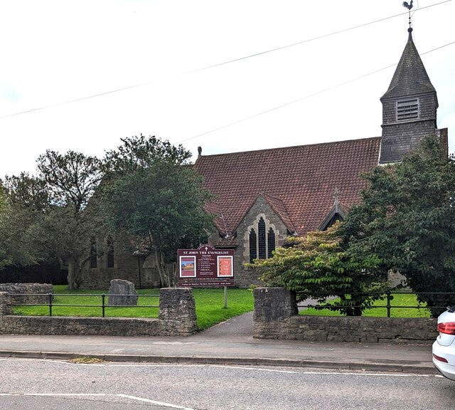
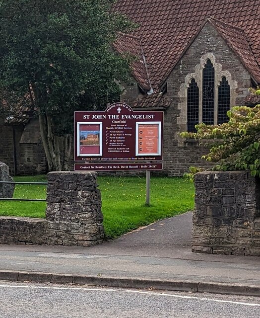
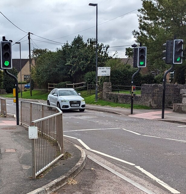
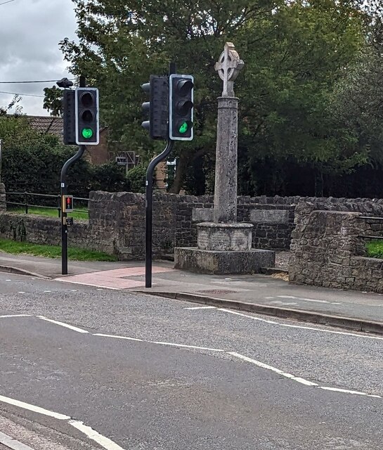
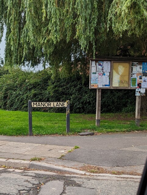
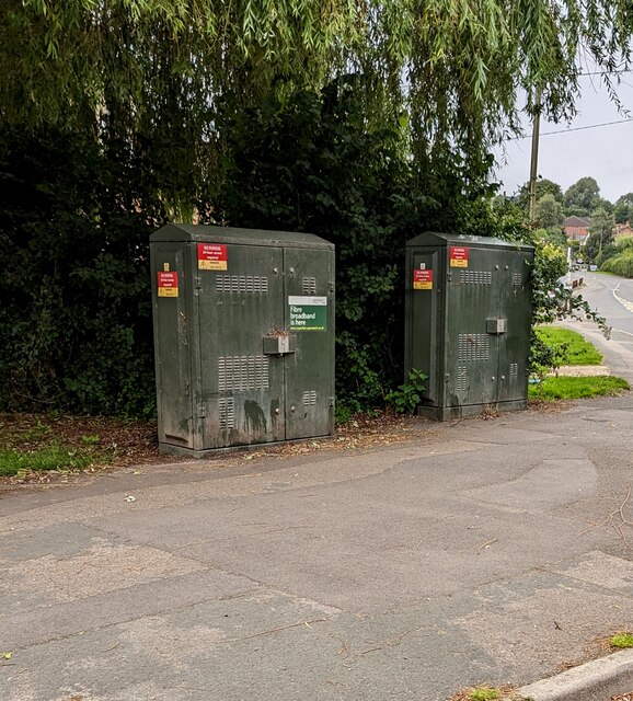
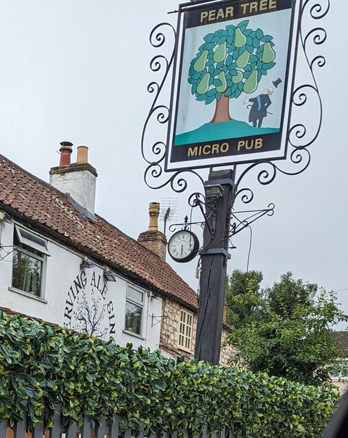
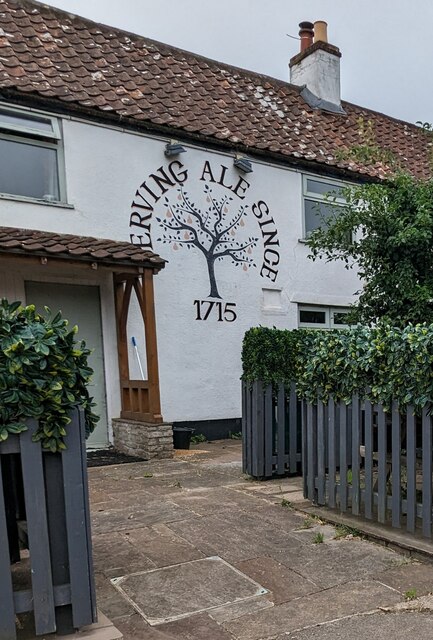
Images are sourced within 2km of 51.640698/-2.3979249 or Grid Reference ST7293. Thanks to Geograph Open Source API. All images are credited.


Huntingford Brake is located at Grid Ref: ST7293 (Lat: 51.640698, Lng: -2.3979249)
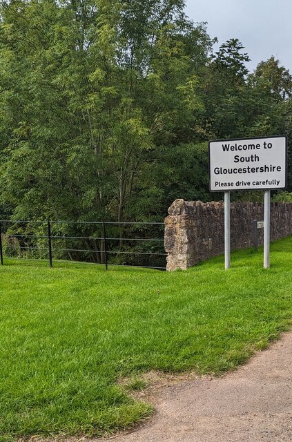
Unitary Authority: South Gloucestershire
Police Authority: Avon and Somerset
What 3 Words
///trombone.shovels.looks. Near Charfield, Gloucestershire
Nearby Locations
Related Wikis
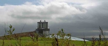
Swinhay House
Swinhay House is a futuristic building built for David McMurtry, an industrialist, in North Nibley near Wotton-under-Edge, Gloucestershire. == History... ==

Cullimore's Quarry
Cullimore's Quarry (grid reference ST721927) is a 0.9 hectare geological Site of Special Scientific Interest near the village of Charfield, South Gloucestershire...
Charfield railway disaster
The Charfield railway disaster was a fatal train crash which occurred on 13 October 1928 in the village of Charfield in the English county of Gloucestershire...

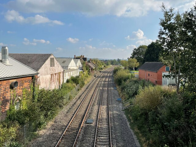
Charfield railway station
Charfield railway station served the village of Charfield in South Gloucestershire, England. The station was on the Bristol and Gloucester Railway, originally...
Nearby Amenities
Located within 500m of 51.640698,-2.3979249Have you been to Huntingford Brake?
Leave your review of Huntingford Brake below (or comments, questions and feedback).