Rainbow Wood
Wood, Forest in Somerset
England
Rainbow Wood

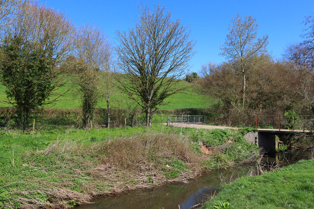
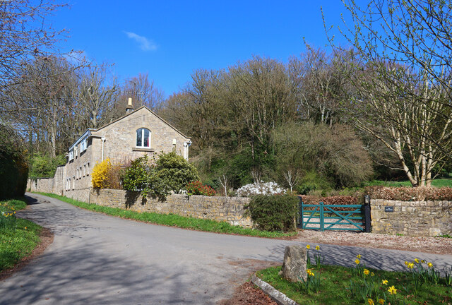
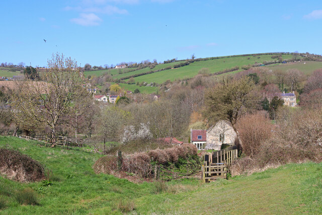
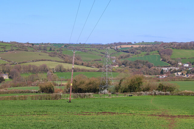
Rainbow Wood, located in Somerset, is a picturesque woodland area that offers a serene and enchanting escape for nature lovers and outdoor enthusiasts. Spanning across several acres of land, this ancient forest is characterized by its diverse range of flora, creating a kaleidoscope of colors throughout the year.
The woodland is home to a variety of tree species, including oak, ash, beech, and birch, which provide a rich and vibrant canopy. The forest floor is carpeted with an array of wildflowers, ferns, and mosses, adding to the beauty of the surroundings. The changing seasons bring a stunning transformation to the wood, with vibrant hues of red, orange, and gold in autumn, while spring showcases a burst of fresh greenery and blooming flowers.
Rainbow Wood is not only a haven for plant life but also boasts a wealth of wildlife. Visitors may spot deer, rabbits, squirrels, and a wide range of bird species, including woodpeckers, owls, and songbirds. The tranquil atmosphere makes it an ideal spot for birdwatching and wildlife photography.
The woodland offers a network of well-maintained walking trails, allowing visitors to explore its natural wonders at their own pace. Picnic areas are scattered throughout the forest, providing an opportunity to enjoy a peaceful lunch amidst the beauty of the surroundings.
Whether seeking a peaceful retreat, an opportunity to connect with nature, or simply a place to enjoy a leisurely stroll, Rainbow Wood in Somerset offers an idyllic setting for all. Its natural beauty and abundant wildlife make it a must-visit destination for anyone looking to reconnect with the great outdoors.
If you have any feedback on the listing, please let us know in the comments section below.
Rainbow Wood Images
Images are sourced within 2km of 51.336973/-2.3979293 or Grid Reference ST7259. Thanks to Geograph Open Source API. All images are credited.


Rainbow Wood is located at Grid Ref: ST7259 (Lat: 51.336973, Lng: -2.3979293)
Unitary Authority: Bath and North East Somerset
Police Authority: Avon and Somerset
What 3 Words
///marble.stones.park. Near Wellow, Somerset
Nearby Locations
Related Wikis

Combe Hay Halt railway station
Combe Hay Halt railway station was a railway station that served the village of Combe Hay, Somerset, England from 1910 to 1925 on the Bristol and North...

Somerset Coal Canal
The Somerset Coal Canal (originally known as the Somersetshire Coal Canal) was a narrow canal in England, built around 1800. Its route began in basins...
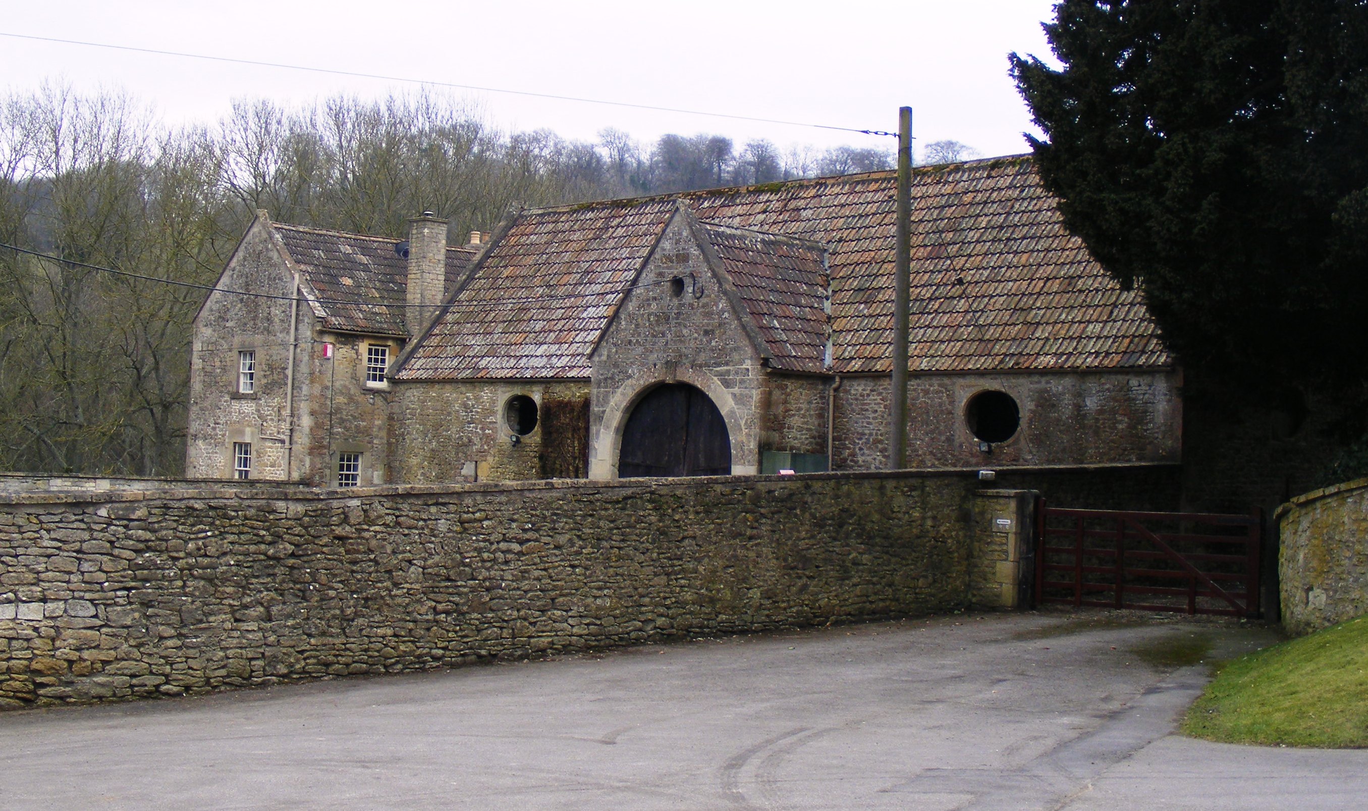
Combe Hay Manor
Combe Hay Manor in Combe Hay, Somerset, England is a manor house. It has been designated as a Grade I listed building.The house was built in two phases...
Combe Hay
Combe Hay is a village and civil parish in the English county of Somerset. It falls within the Cotswolds Area of Outstanding Natural Beauty. The parish...

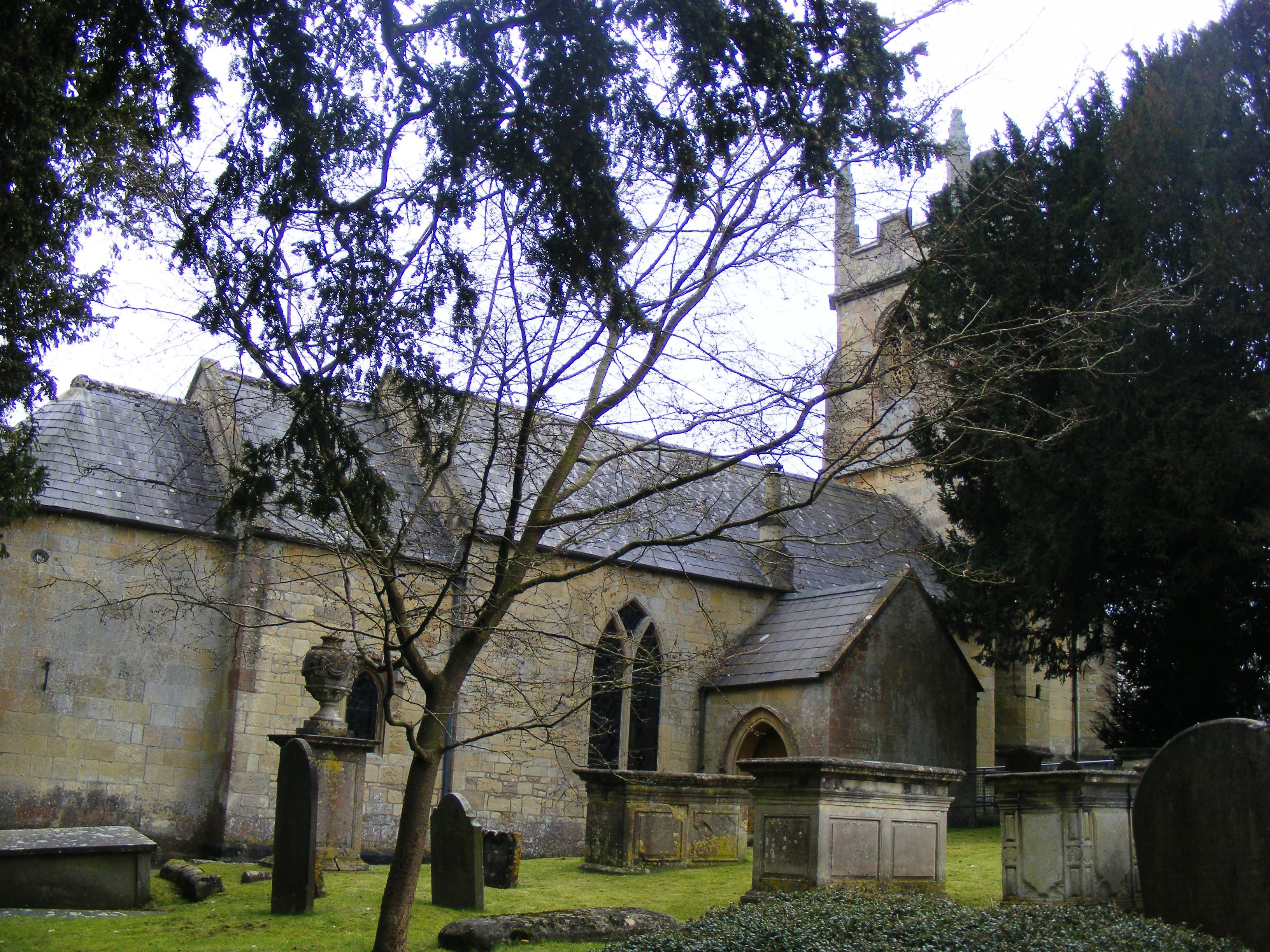
Church of All Saints, Dunkerton
The Church of All Saints is an Anglican parish church in Dunkerton Somerset, England. It was built in the 14th century with the tower being added in the...
Dunkerton, Somerset
Dunkerton is a small village in the civil parish of Dunkerton and Tunley, 4 miles (6.4 km) north east of Radstock, and 5 miles (8.0 km) south west of Bath...
Duncorn Hill
Duncorn Hill is an English, landmark, rounded hill with a flat top close to the Fosse Way. It is located on a limestone plateau south of Bath in Somerset...
Odd Down A.F.C.
Odd Down Football Club is a football club based in the Odd Down area of Bath, England. They are currently members of the Western League Division One and...
Nearby Amenities
Located within 500m of 51.336973,-2.3979293Have you been to Rainbow Wood?
Leave your review of Rainbow Wood below (or comments, questions and feedback).