Grange Wood

Wood, Forest in Shropshire

England

Grange Wood

Ashfields crossroads
Ashfields crossroads Credit: Row17

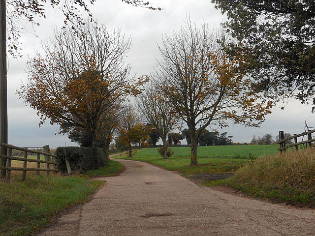
Grange Wood, located in Shropshire, England, is a picturesque and expansive woodland that covers an area of approximately 200 acres. Situated in the heart of the county, this forested area offers visitors a serene and peaceful retreat from the bustling city life.

Grange Wood is known for its diverse range of tree species, including oak, beech, and birch, which create a vibrant and ever-changing landscape throughout the seasons. The forest floor is carpeted with an array of wildflowers, adding bursts of color to the surroundings. The wood is also home to various wildlife, such as deer, foxes, and a variety of bird species, making it a haven for nature enthusiasts and birdwatchers.

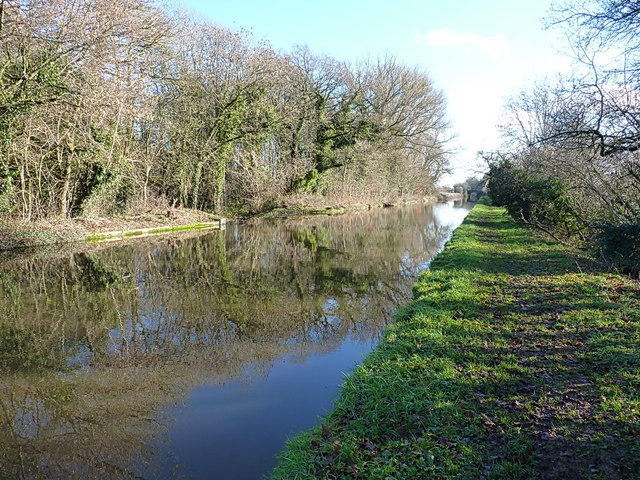
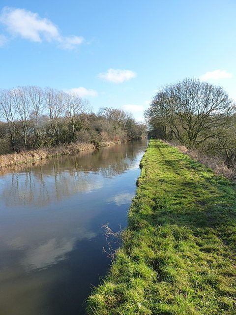
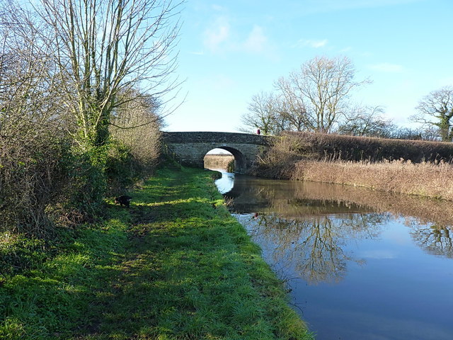
Traversing the woodland, visitors can explore a network of well-maintained walking trails, allowing them to immerse themselves in the beauty of nature. These trails cater to different levels of difficulty, ensuring that everyone can enjoy the forest at their own pace. Additionally, there are several picnic areas and benches strategically placed throughout the wood, providing ample opportunities for visitors to relax and enjoy a meal amidst the tranquil surroundings.

Grange Wood is also a popular destination for outdoor activities such as camping and hiking. The forest has designated camping areas equipped with basic facilities, providing an opportunity to spend a night under the stars in a peaceful and secluded setting. Hiking enthusiasts can embark on the Grange Wood Trail, a well-marked path that takes them through some of the most scenic areas of the wood.

In conclusion, Grange Wood in Shropshire is a captivating forest that offers visitors a chance to escape into nature. Its diverse flora and fauna, well-maintained trails, and serene atmosphere make it a perfect destination for those seeking solace and tranquility in the heart of England.

If you have any feedback on the listing, please let us know in the comments section below.
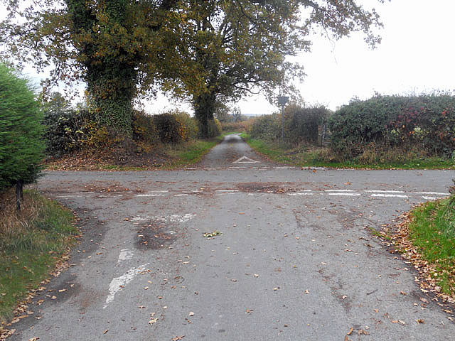
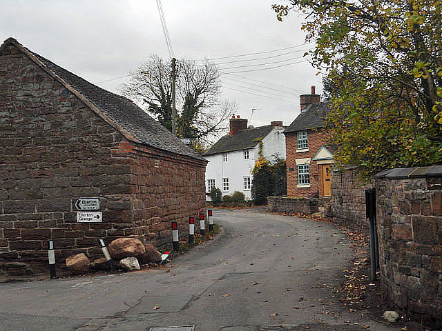
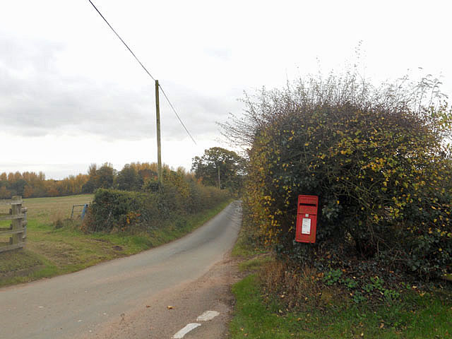
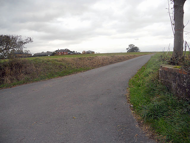
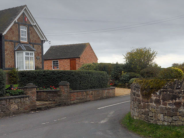
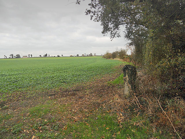
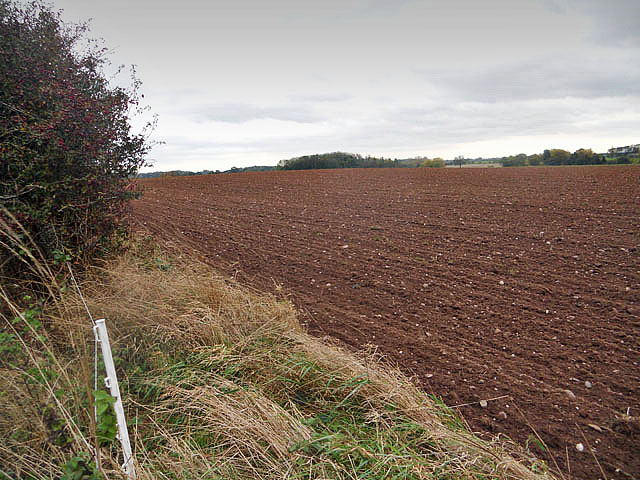
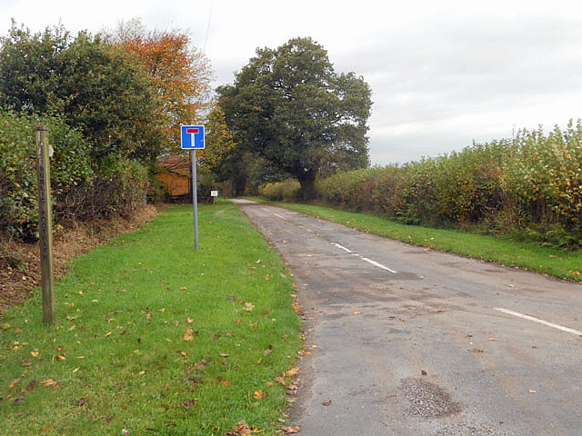
Grange Wood Images

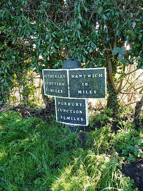
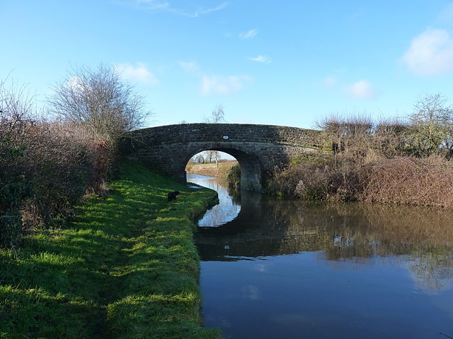
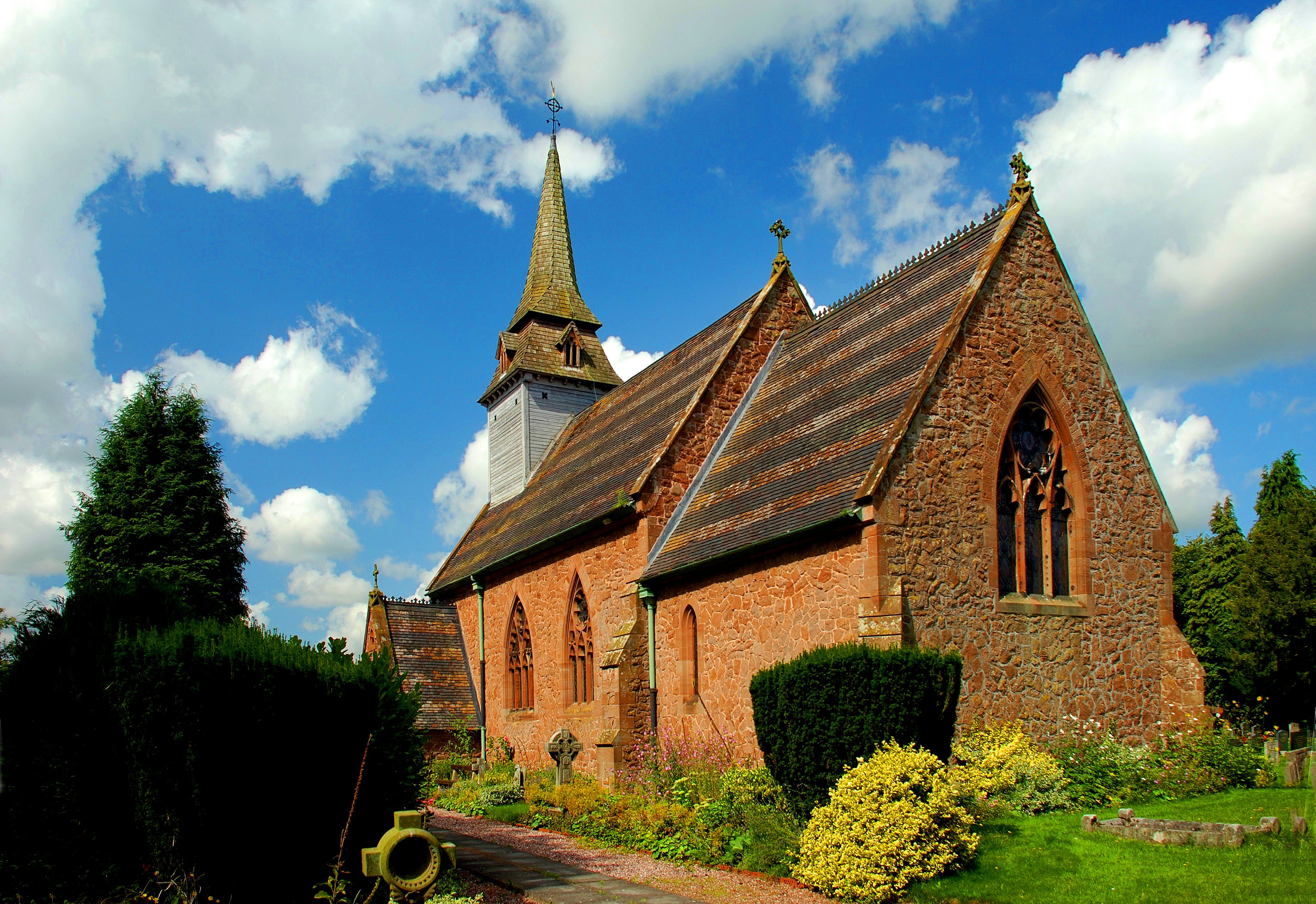
Images are sourced within 2km of 52.831497/-2.4124218 or Grid Reference SJ7226. Thanks to Geograph Open Source API. All images are credited.

Ashfields crossroads
Sambrook - the way to the church
Postbox at Ellerton
Postbox at Ellerton
Driveway to Ellerton Grove
Ovens Bottom
Ovens Bottom
Field boundary near Roman Road
Ready for sowing
Ready for sowing
Driveway and path to Ellerton Grange
Private driveway
Private driveway
In Knighton Wood An area that used to provide superb fishing - small roach, perch and gudgeon aplenty in the 1980s, with the chance of a decent bream or carp once in a while. It'd be interesting to have a warm afternoon back here with half a pint of pinkies and some bloodworm.
In Knighton Wood
An area that used to provide superb fishing - small roach, perch and gudgeon aplenty in the 1980s, with the chance of a decent bream or carp once in a while. It'd be interesting to have a warm afternoon back here with half a pint of pinkies and some bloodworm.
Just west of Knighton Wood A straight section of the Shroppy, where it crosses the county border between Shrops (in the foreground) and Staffs (about 150 yards away)
Just west of Knighton Wood
A straight section of the Shroppy, where it crosses the county border between Shrops (in the foreground) and Staffs (about 150 yards away)
Park Heath bridge (48) The road between Puleston and Soudley crosses the Shroppy at Park Heath.
Park Heath bridge (48)
The road between Puleston and Soudley crosses the Shroppy at Park Heath.
Canal milepost at Park Heath One of several original cast iron mileposts along this piece of the canal. The next one southeast is <a href="https://www.geograph.org.uk/photo/3819006">SJ7426 : Canal milepost at Knighton</a>, and the next one northwest is <a href="https://www.geograph.org.uk/photo/3819019">SJ7128 : Canal milepost at Little Soudley</a>
Canal milepost at Park Heath
One of several original cast iron mileposts along this piece of the canal. The next one southeast is SJ7426 : Canal milepost at Knighton, and the next one northwest is SJ7128 : Canal milepost at Little Soudley
Hazeldines Bridge (no 49) A farm bridge, providing access from Park Heath farm to fields north of the canal.
Hazeldines Bridge (no 49)
A farm bridge, providing access from Park Heath farm to fields north of the canal.
The 'Oak Tree' stretch Known to those of us that regularly used to fish here in the 1980s as the Oak Tree length, this piece of canal would produce good nets of small roach and bream ('skimmers'), with a good chance of dropping on a decent shoal of bigger bream on occasions. It still looks much the same, but whether it still fishes as well is open to question. Oh, and the eponymous oak seems to have gone (or been replaced by the alder on the far bank)
The 'Oak Tree' stretch
Known to those of us that regularly used to fish here in the 1980s as the Oak Tree length, this piece of canal would produce good nets of small roach and bream ('skimmers'), with a good chance of dropping on a decent shoal of bigger bream on occasions. It still looks much the same, but whether it still fishes as well is open to question. Oh, and the eponymous oak seems to have gone (or been replaced by the alder on the far bank)
Soudley Bridge (no 50) A farm access bridge, with no public right of way as such.
Soudley Bridge (no 50)
A farm access bridge, with no public right of way as such.
Rope wear on Soudley Bridge A typical rope-wear plate on the sandstone bridges of the Shroppy; horses pulling barges with mud-encrusted tow ropes have worn these distinct grooves into the cast-iron wear plates on the buttresses of all the bridges.
Rope wear on Soudley Bridge
A typical rope-wear plate on the sandstone bridges of the Shroppy; horses pulling barges with mud-encrusted tow ropes have worn these distinct grooves into the cast-iron wear plates on the buttresses of all the bridges.
OS benchmark - New Brighton Bridge An OS cutmark low on the western parapet (the farm side) of the bridge; originally levelled at 104.87m above Ordnance Datum Newlyn.
OS benchmark - New Brighton Bridge
An OS cutmark low on the western parapet (the farm side) of the bridge; originally levelled at 104.87m above Ordnance Datum Newlyn.
Show me another place!

Grange Wood is located at Grid Ref: SJ7226 (Lat: 52.831497, Lng: -2.4124218)

Unitary Authority: Shropshire

Police Authority: West Mercia

What 3 Words

///dented.bars.tasks. Near Chetwynd, Shropshire

Nearby Locations

Grange Wood

Related Wikis

Ellerton, Shropshire

Ellerton is a small hamlet in Shropshire, England. It lies in a rather isolated rural area several miles north of the town of Newport, close to the village...

Sambrook, Shropshire

Sambrook is a small village in the ceremonial county of Shropshire, where it is part of the civil parish of Chetwynd, north of the town of Newport. To...

Ashfields

Ashfields is a village in Shropshire, England.

RAF Chetwynd

Royal Air Force Chetwynd or more simply RAF Chetwynd is a former Royal Air Force satellite station located in Chetwynd, Shropshire, England. The following...

Knighton, Stafford

Knighton is a hamlet part of the parish of Adbaston in the county of Staffordshire, England. Knighton is situated close to the Staffordshire/Shropshire...

Hinstock

Hinstock is a village and civil parish in Shropshire, England. It appeared in the Domesday book survey as "Stoche" (from Old English stoc, "dependent settlement...

Soudley, Shropshire

Soudley is a small village in Shropshire in the civil parish of Cheswardine. The village had a pub called The Wheatsheaf until it was destroyed by fire...

Goldstone, Shropshire

Goldstone is a small hamlet in eastern Shropshire, England, in the civil parish of Cheswardine. It lies in an isolated rural area north of Hinstock and...

Nearby Amenities

Located within 500m of 52.831497,-2.4124218
Power: pole
Lat/Long: 52.829845/-2.4135558
Power: pole
Lat/Long: 52.8295365/-2.4094875
Power: pole
Lat/Long: 52.8302949/-2.4192775
Power: pole
Lat/Long: 52.8296127/-2.4104745
Power: pole
Lat/Long: 52.830068/-2.4164102
Power: pole
Lat/Long: 52.829093/-2.4081753
Power: pole
Lat/Long: 52.8299633/-2.4149801
Power: pole
Lat/Long: 52.8297007/-2.4114852
Power: pole
Lat/Long: 52.8297699/-2.4124862
Power: pole
Lat/Long: 52.8301766/-2.417813
Power: pole
Lat/Long: 52.8284475/-2.4078433
The data included in this document is from www.openstreetmap.org. The data is made available under ODbL.

Have you been to Grange Wood?

Leave your review of Grange Wood below (or comments, questions and feedback).