Moss Wood
Wood, Forest in Cheshire
England
Moss Wood

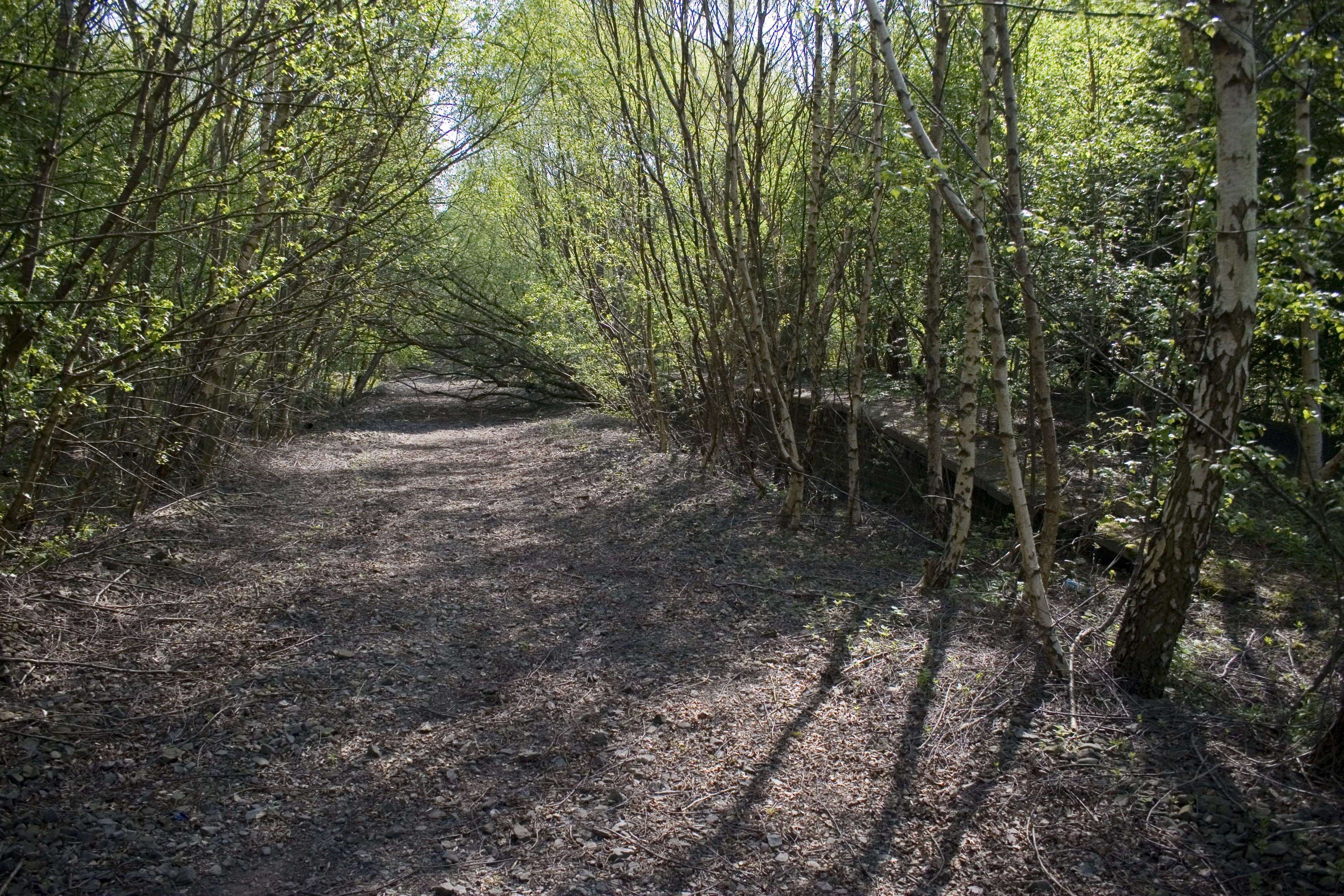
Located in the county of Cheshire, England, Moss Wood is a picturesque forest that spans over an area of approximately 100 hectares. Situated in the village of Moss, near the town of Congleton, Moss Wood attracts visitors with its natural beauty and diverse ecosystem.
The forest is predominantly composed of deciduous trees, including oak, beech, and birch, which create a rich canopy that provides shade and shelter for various wildlife species. The woodland floor is covered in a thick carpet of moss, hence the name Moss Wood, adding to its enchanting ambiance.
Moss Wood offers a tranquil escape for nature enthusiasts and is a popular destination for walkers, hikers, and birdwatchers. The forest boasts an extensive network of well-maintained trails, allowing visitors to explore its stunning surroundings at their own pace. As they wander through the woodlands, visitors may encounter a variety of bird species such as woodpeckers, nuthatches, and thrushes, as well as woodland mammals including deer, foxes, and rabbits.
In addition to its natural beauty, Moss Wood also holds historical significance. The forest was once part of a medieval hunting ground and remnants of an ancient deer park can still be seen today. The area is dotted with archaeological remains, including earthworks and old boundaries, providing a glimpse into its rich past.
Overall, Moss Wood offers a serene and captivating experience for visitors, combining natural beauty, wildlife, and a touch of history. It is a cherished gem in the heart of Cheshire, attracting nature enthusiasts and those seeking a peaceful retreat into the great outdoors.
If you have any feedback on the listing, please let us know in the comments section below.
Moss Wood Images
Images are sourced within 2km of 53.405028/-2.4219069 or Grid Reference SJ7289. Thanks to Geograph Open Source API. All images are credited.


Moss Wood is located at Grid Ref: SJ7289 (Lat: 53.405028, Lng: -2.4219069)
Unitary Authority: Trafford
Police Authority: Greater Manchester
What 3 Words
///jeeps.blues.bulldozer. Near Partington, Manchester
Nearby Locations
Related Wikis

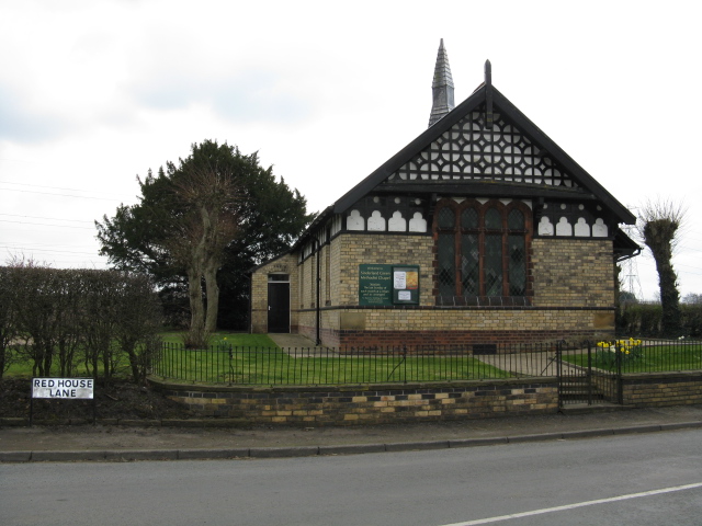
Broadoak School
Broadoak School is a coeducational secondary school with academy status located in Partington in the English county of Greater Manchester.Previously a...
Warburton School
Warburton School is on the south side of Dunham Road in the village of Warburton, Greater Manchester, England. It has been converted into a house and...
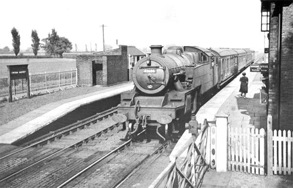
Dunham Massey railway station
Dunham Massey railway station was a station in England, serving the Dunham Massey. The station opened in 1854 and closed in 1962. == Construction and... ==
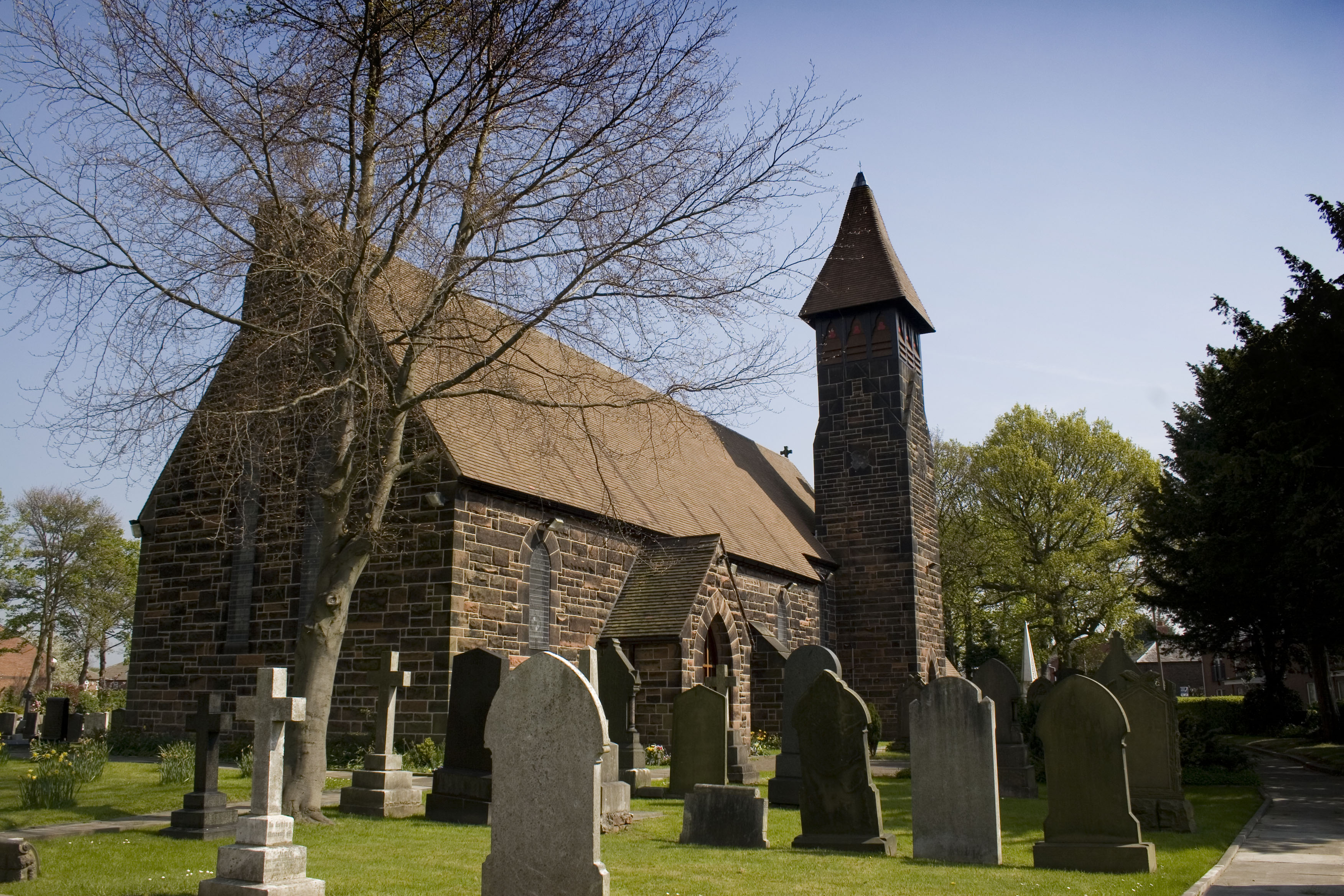
Church House, Warburton
Church House is adjacent to St Werburgh's Church, in Bent Lane in the village of Warburton, Greater Manchester, England. It is recorded in the National...
Partington
Partington is a town and civil parish in the Metropolitan Borough of Trafford, Greater Manchester, England, ten miles (16 km) south-west of Manchester...

Bent Farmhouse, Warburton
Bent Farmhouse is in Bent Lane in the village of Warburton, Greater Manchester, England, opposite the church of St Werburgh. It is recorded in the National...
Partington railway station
Partington railway station was situated on the Cheshire Lines Committee route between Warrington and Stockport. It served the locality between 1874 and...

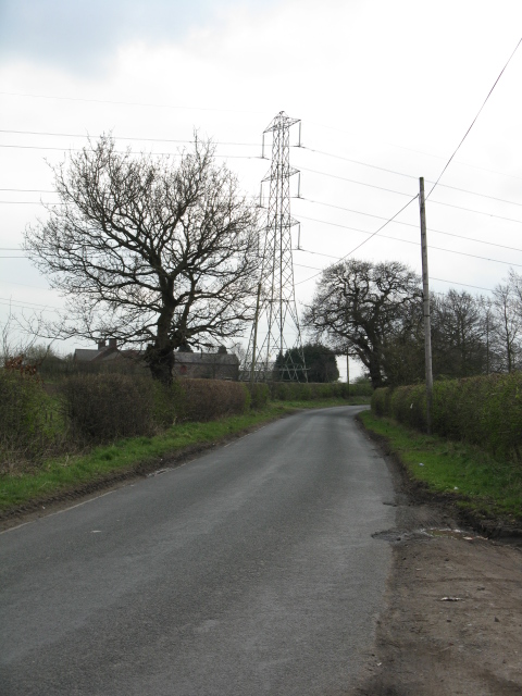
Glazebrook East Junction–Skelton Junction line
The Glazebrook East Junction–Skelton Junction line was a railway line from Glazebrook to Skelton Junction in Greater Manchester. It connected the Cheshire...
Nearby Amenities
Located within 500m of 53.405028,-2.4219069Have you been to Moss Wood?
Leave your review of Moss Wood below (or comments, questions and feedback).