Dodmoors

Wood, Forest in Shropshire

England

Dodmoors

Field Lane running past The Grove
Field Lane running past The Grove Credit: Richard Law

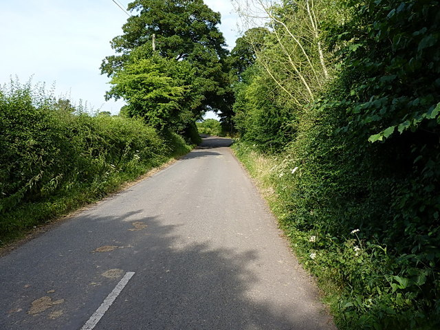
Dodmoors is a small village located in the county of Shropshire, England. Situated in the heart of a dense woodland, Dodmoors is known for its picturesque and serene setting. The village is surrounded by an expansive forest, offering residents and visitors an abundance of natural beauty and recreational opportunities.

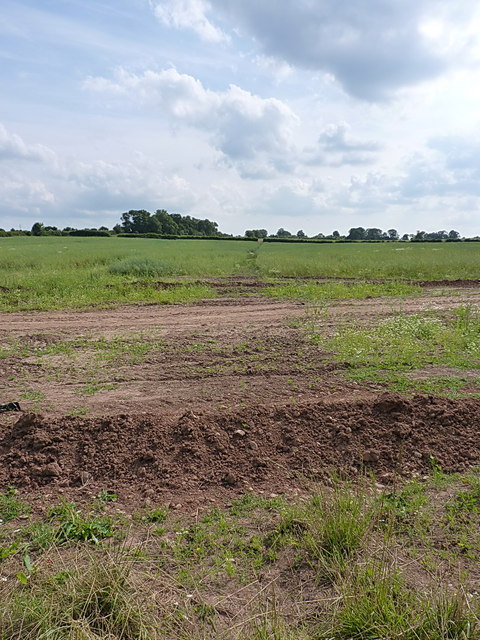
The woodlands of Dodmoors are home to a diverse range of flora and fauna, making it a haven for nature enthusiasts. Ancient oak trees dominate the landscape, their sprawling branches providing shelter for a variety of bird species. The forest floor is adorned with a carpet of wildflowers, creating a vibrant and colorful display during the spring and summer months.

The village itself is characterized by a small cluster of traditional cottages that blend harmoniously with the natural surroundings. These charming dwellings exude a rustic charm and are often adorned with blooming flower gardens.

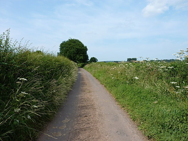
Dodmoors is popular among hikers and outdoor enthusiasts, with numerous walking trails that wind their way through the forest. The trails offer breathtaking views of the surrounding countryside, with glimpses of rolling hills and meandering streams.

Despite its tranquil setting, Dodmoors is conveniently located within close proximity to larger towns and cities. This allows residents to enjoy the peace and tranquility of village life while still having access to essential amenities and services.

Overall, Dodmoors is a hidden gem in the heart of Shropshire, offering a peaceful retreat for those seeking solace in nature's embrace.

If you have any feedback on the listing, please let us know in the comments section below.
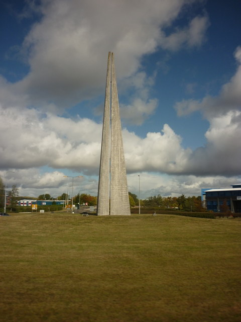
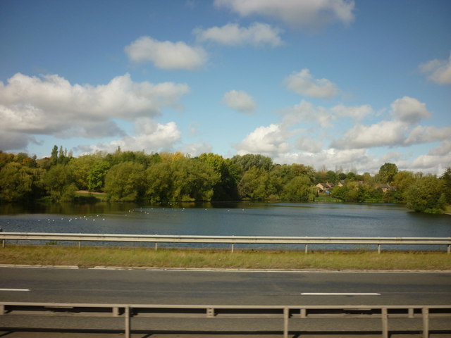
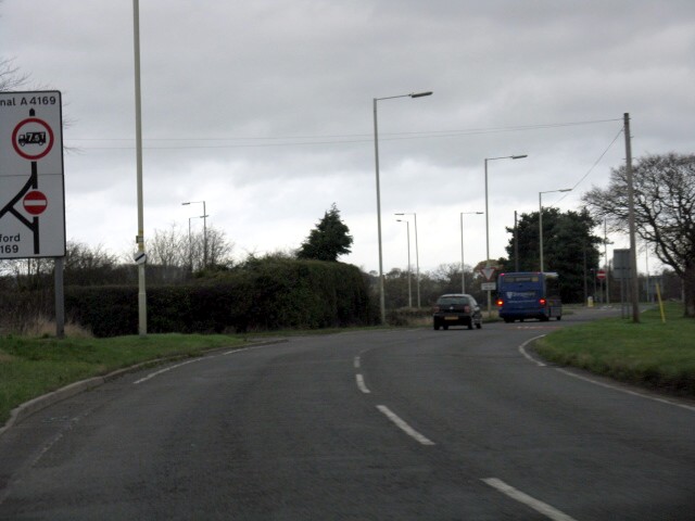
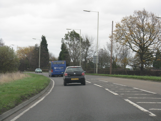
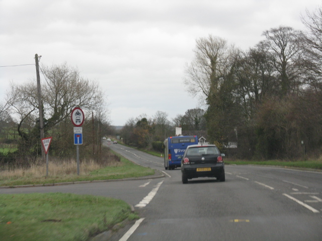
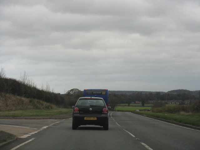
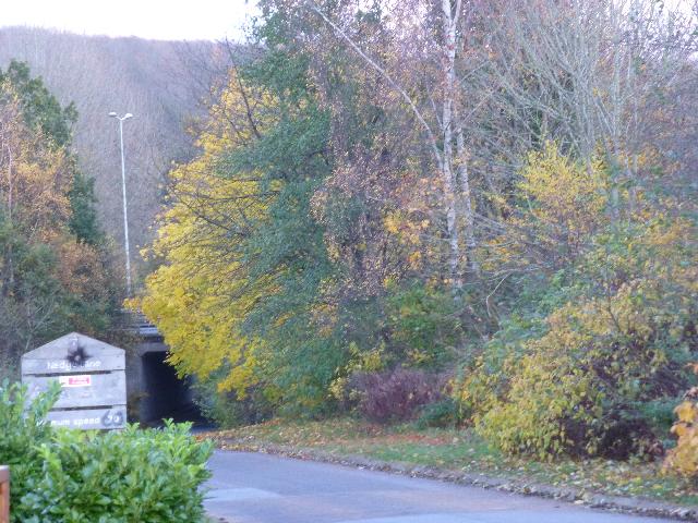
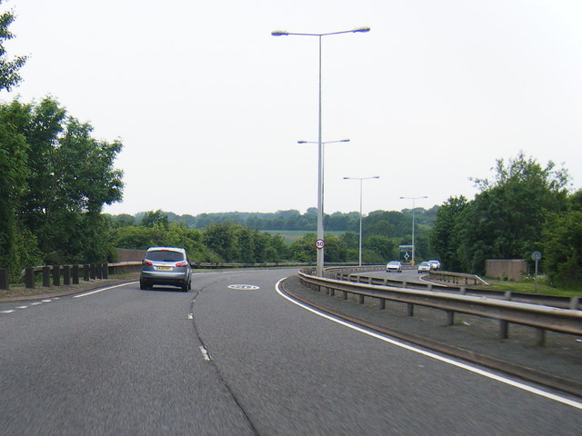
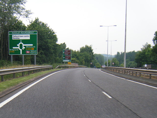
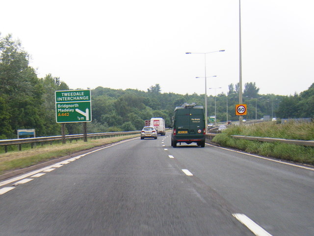
Dodmoors Images

Images are sourced within 2km of 52.656173/-2.414849 or Grid Reference SJ7206. Thanks to Geograph Open Source API. All images are credited.

Field Lane running past The Grove
The Obelisk on the Nairn roundabout Telford
Holmer Lake from the A442, Queenway
B4379 approaches the A4169 junction The B road "disappears" here, but the number is used again for the link between Shifnal and the A41 north of Heath Hill.
B4379 approaches the A4169 junction
The B road "disappears" here, but the number is used again for the link between Shifnal and the A41 north of Heath Hill.
A4169 near Paddock House
A4169 at Hem Lane
A4169 at Hem Lane
A4169 at the junction for The Wyke
Nedge Lane, Telford Leading under the A442 towards Nedge Farm.
Nedge Lane, Telford
Leading under the A442 towards Nedge Farm.
A464 heads towards Naird's Roundabout
A464 nears Randlay Roundabout
A442 nears Tweedale Interchange
Flush Bracket 2497 - The Hem Ordnance Survey Flush Bracket, attached to the wall of a cottage at The Hem; as you can see, it's partially obscured by a downpipe, and was also hiding behind a potted rose which the owner kindly moved for me.
Flush Bracket 2497 - The Hem
Ordnance Survey Flush Bracket, attached to the wall of a cottage at The Hem; as you can see, it's partially obscured by a downpipe, and was also hiding behind a potted rose which the owner kindly moved for me.
The old Shifnal Road This short stretch of the old A4169 was isolated from the fast traffic when the road was realigned a few yards to the north in the 1970s. It now gives access to a number of cottages and barn conversions at The Hem, and provides a means of access to the Shifnal sewage works, Field Lane and Kemberton.
The old Shifnal Road
This short stretch of the old A4169 was isolated from the fast traffic when the road was realigned a few yards to the north in the 1970s. It now gives access to a number of cottages and barn conversions at The Hem, and provides a means of access to the Shifnal sewage works, Field Lane and Kemberton.
Field Lane leads to Kemberton Technically it leads to Shifnal sewage works, and also to Kemberton.
Field Lane leads to Kemberton
Technically it leads to Shifnal sewage works, and also to Kemberton.
Footpath to Kemberton Running from Field Lane across fields into Kemberton.
Footpath to Kemberton
Running from Field Lane across fields into Kemberton.
Field Lane out of Kemberton The clump of trees just above the hedge on the right is actually on top of the nearby Lodge Hill in <a href="https://www.geograph.org.uk/gridref/SJ7405">SJ7405</a>, a popular local walk and sometime sledging venue.
Field Lane out of Kemberton
The clump of trees just above the hedge on the right is actually on top of the nearby Lodge Hill in SJ7405, a popular local walk and sometime sledging venue.
Flush Bracket G3462 - Langley House OS Flush Bracket is mounted low on the south facing wall of Langley House, behind a small shrub which the owner kindly cut back to allow me to see the bracket. I've long known this place as Kemberton Quarters, due to its alleged use during the English Civil War as a barracks.
Flush Bracket G3462 - Langley House
OS Flush Bracket is mounted low on the south facing wall of Langley House, behind a small shrub which the owner kindly cut back to allow me to see the bracket. I've long known this place as Kemberton Quarters, due to its alleged use during the English Civil War as a barracks.
OS benchmark - House at The Hem A cutmark in the brickwork of a semi-detached cottage just east of The Hem, levelled at a height of 87.3892m, 286'8" above Ordnance Datum Nelwyn.
OS benchmark - House at The Hem
A cutmark in the brickwork of a semi-detached cottage just east of The Hem, levelled at a height of 87.3892m, 286'8" above Ordnance Datum Nelwyn.
Show me another place!

Dodmoors is located at Grid Ref: SJ7206 (Lat: 52.656173, Lng: -2.414849)

Unitary Authority: Shropshire

Police Authority: West Mercia

What 3 Words

///waged.appraised.whiplash. Near Madeley, Shropshire

Nearby Locations

Dodmoors

Related Wikis

Telford Park School

The Telford Park School is a coeducational secondary school located in Stirchley, Telford, Shropshire, England. The school grounds was first established...

Brookside, Telford

Brookside is a housing estate and borough and parish council ward in Telford, Shropshire, England. The original settlement of Brookside is a Radburn estate...

Stirchley, Shropshire

Stirchley is a large village and suburb of Telford, in the borough of Telford and Wrekin and ceremonial county of Shropshire, England. Stirchley lies just...

St James' Church, Stirchley

St James' Church is a redundant Anglican church in Stirchley, Shropshire, England. The church is recorded in the National Heritage List for England as...

Have you been to Dodmoors?

Leave your review of Dodmoors below (or comments, questions and feedback).