Half Moon Coppice
Wood, Forest in Dorset
England
Half Moon Coppice

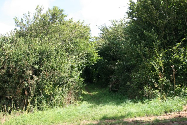
Half Moon Coppice is a serene woodland located in the county of Dorset, England. Situated in the heart of the countryside, this enchanting forest covers an area of approximately 50 acres. It is known for its stunning natural beauty and diverse ecosystem.
The coppice derives its name from its unique half-moon shape, which can be observed from an aerial view. The forest is predominantly composed of broadleaf trees, including oak, beech, and ash, which provide a rich canopy that offers shade and shelter to a variety of flora and fauna.
The woodland is a haven for wildlife enthusiasts, as it is home to a wide range of species. Visitors may catch a glimpse of elusive creatures such as deer, foxes, and badgers, as well as an array of bird species including woodpeckers, owls, and thrushes. The tranquil atmosphere of the coppice makes it an ideal spot for birdwatching and wildlife photography.
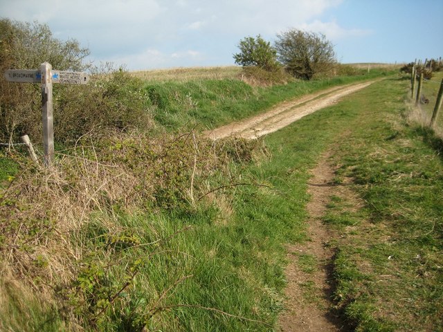
Half Moon Coppice offers a network of well-maintained footpaths that allow visitors to explore the forest at their leisure. These paths wind their way through picturesque glades, ancient trees, and babbling brooks, creating a truly immersive experience in nature. The forest also boasts a small picnic area, offering a peaceful spot for visitors to relax and enjoy the surroundings.
Due to its natural beauty and ecological significance, Half Moon Coppice is protected and managed by the local authorities. It is part of a wider network of woodlands that contribute to the preservation of the region's biodiversity.
In conclusion, Half Moon Coppice is a captivating woodland in Dorset, England, offering a tranquil retreat for nature lovers. With its diverse wildlife, scenic trails, and serene ambiance, it is a place where visitors can escape the hustle and bustle of daily life and reconnect with the natural world.
If you have any feedback on the listing, please let us know in the comments section below.
Half Moon Coppice Images
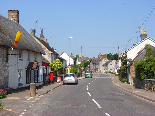
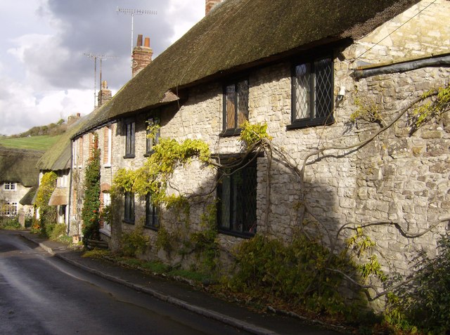
Images are sourced within 2km of 50.665696/-2.3988463 or Grid Reference SY7185. Thanks to Geograph Open Source API. All images are credited.


Half Moon Coppice is located at Grid Ref: SY7185 (Lat: 50.665696, Lng: -2.3988463)
Unitary Authority: Dorset
Police Authority: Dorset
What 3 Words
///resolves.contexts.warbler. Near Overcombe, Dorset
Nearby Locations
Related Wikis
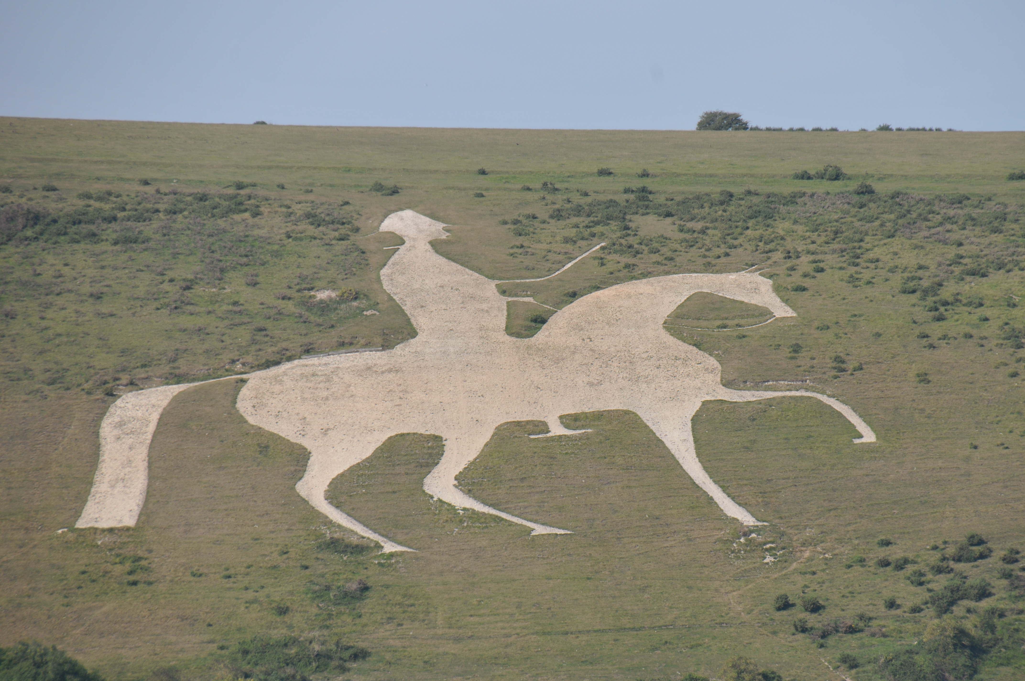
Osmington White Horse
The Osmington White Horse is a hill figure cut into the limestone of Osmington Hill just north of Weymouth in Dorset in 1808. It is in the South Dorset...
Broadmayne
Broadmayne is a village in the English county of Dorset. It lies two miles south-east of the county town Dorchester. The A352 main road between Dorchester...

Mayne Preceptory
Mayne Preceptory was a medieval house of Knights Hospitaller in Dorset, England, which caused the name of the settlement to change from Domesday-era Maine...
Culliford Tree Hundred
Culliford Tree Hundred was a hundred in the county of Dorset, England, containing the following parishes: Broadwey Buckland Ripers Chickerell (part) Melcombe...
Osmington
Osmington is a village and civil parish within Dorset, England, situated on the Jurassic Coast 4 miles (6.4 km) north-east of Weymouth. In the 2011 census...

Poxwell
Poxwell (; sometimes written Pokeswell) is a hamlet and civil parish in the county of Dorset in southwest England. It is located 6 miles (9.7 km) east...

St John's Church, Poxwell
St John's Church was a Church of England church in Poxwell, Dorset, England. It was built in 1867–68 as a replacement to an earlier church and was demolished...

Chalbury Hillfort
Chalbury Hillfort is an Iron Age hillfort about 1 mile (1.6 km) south-east of the village of Bincombe, in Dorset, England. It is a scheduled monument....
Nearby Amenities
Located within 500m of 50.665696,-2.3988463Have you been to Half Moon Coppice?
Leave your review of Half Moon Coppice below (or comments, questions and feedback).