Clews Wood
Wood, Forest in Shropshire
England
Clews Wood

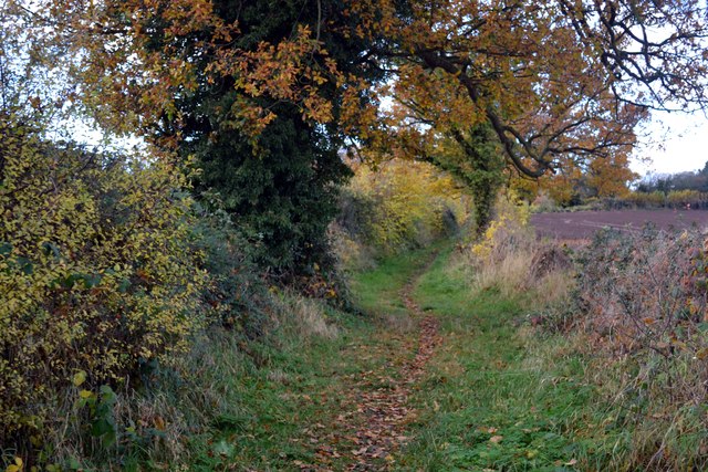
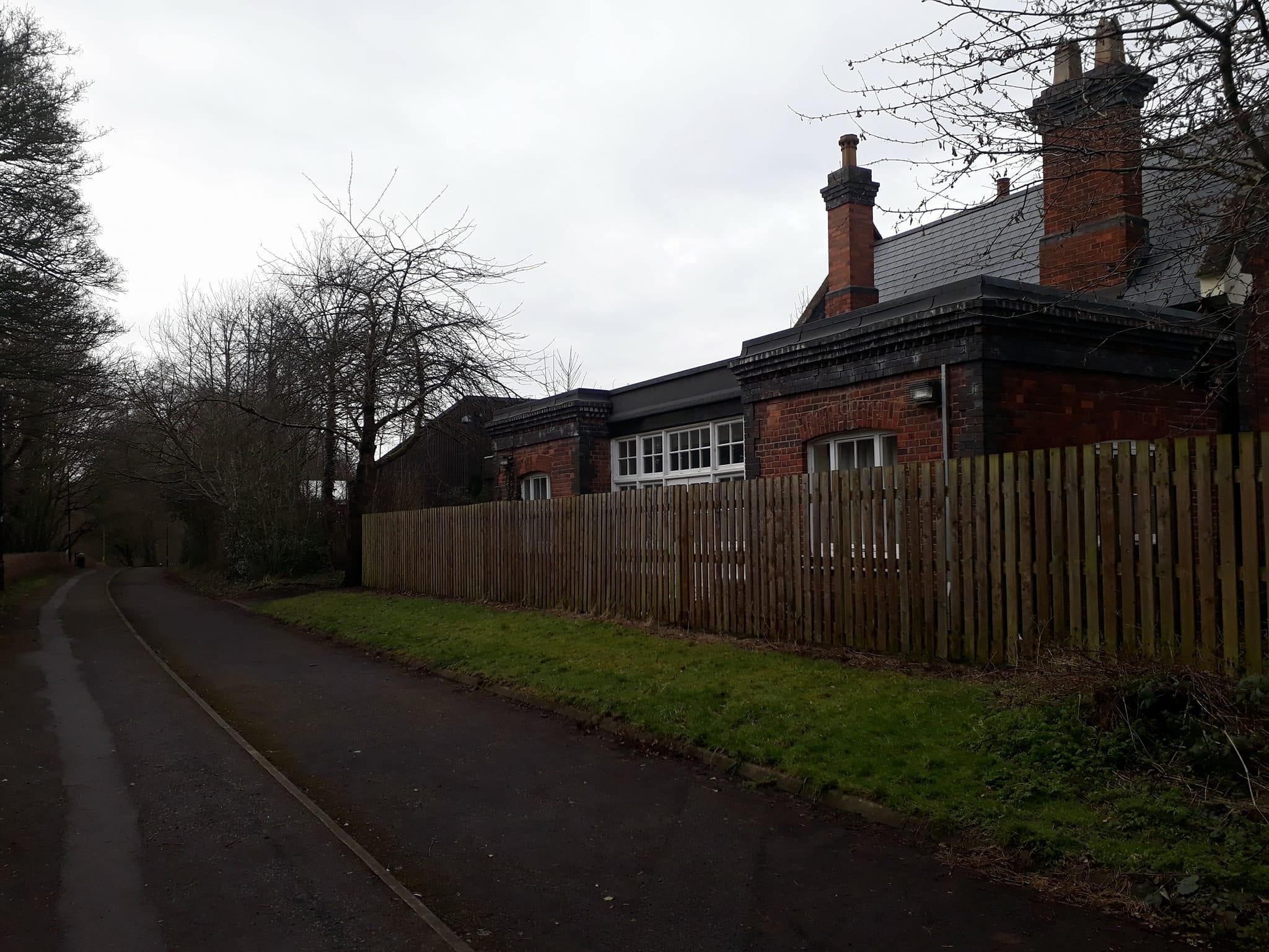
Clews Wood, located in Shropshire, England, is a picturesque and expansive forest area that spans over an estimated 300 acres. This woodland is renowned for its rich biodiversity and scenic beauty, attracting nature enthusiasts, hikers, and photographers alike.
The wood is predominantly composed of mixed deciduous trees, including oak, beech, and birch, creating a stunning tapestry of colors throughout the seasons. These trees provide a habitat for a wide variety of wildlife, such as deer, foxes, badgers, and numerous bird species. Clews Wood is also home to several rare and protected species, including the dormouse and the lesser spotted woodpecker, making it an important conservation area.
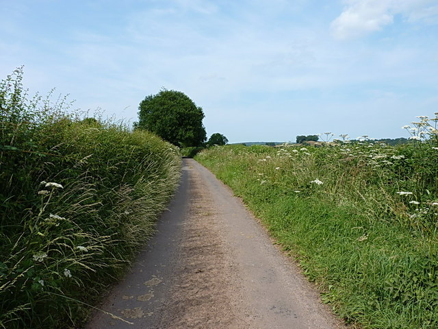
Visitors to Clews Wood can explore its extensive network of well-maintained footpaths, which offer opportunities for leisurely walks and invigorating hikes. The trails wind through the woodland, leading to enchanting glades, serene ponds, and secluded picnic spots. The wood also features a small stream that adds to its tranquil ambiance.
For those interested in history, Clews Wood holds archaeological significance. There are remnants of ancient earthworks and burial mounds, dating back to the Iron Age, providing glimpses into the area's past.
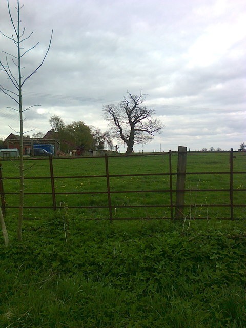
Clews Wood is easily accessible, situated near the village of Clews, just a short drive from the town of Shrewsbury. Facilities such as parking, toilets, and picnic areas are available for visitors, ensuring a comfortable and enjoyable experience.
Overall, Clews Wood is a breathtaking natural haven, offering a serene escape from the hustle and bustle of everyday life, and providing a unique opportunity to immerse oneself in the beauty of Shropshire's countryside.
If you have any feedback on the listing, please let us know in the comments section below.
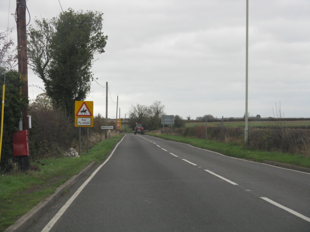
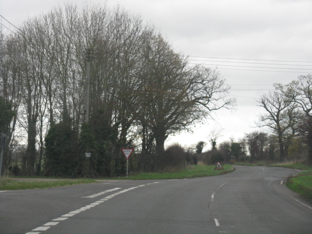
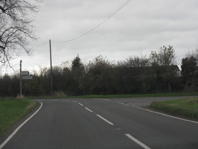
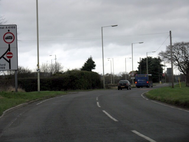
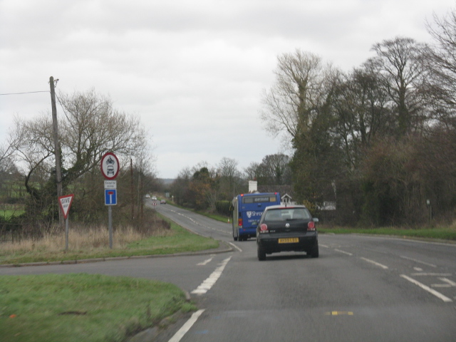
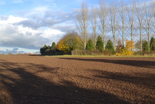
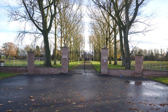
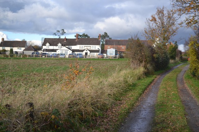
Clews Wood Images
Images are sourced within 2km of 52.634319/-2.4174496 or Grid Reference SJ7104. Thanks to Geograph Open Source API. All images are credited.

Clews Wood is located at Grid Ref: SJ7104 (Lat: 52.634319, Lng: -2.4174496)
Unitary Authority: Shropshire
Police Authority: West Mercia
What 3 Words
///premature.soulful.primed. Near Madeley, Shropshire
Nearby Locations
Related Wikis

Kemberton
Kemberton is a village and civil parish located in Shropshire, England. The population of the civil parish at the 2011 Census was 244. == See also == Listed...
Madeley Market railway station
Madeley Market railway station is a disused railway station in Shropshire, England. The station was opened by the London and North Western Railway in 1861...

St Mary's Church, Madeley
St Mary's Church is a Roman Catholic church in Madeley, Shropshire, England. It was built from 1852 to 1853 and was designed by Joseph Hansom in the Gothic...

Madeley, Shropshire
Madeley is a constituent town of Telford and a civil parish in the borough of Telford and Wrekin, Shropshire, England. The parish had a population of 17...

St Michael's Church, Madeley
St Michael's Church, Madeley, is located near the centre of Madeley, Shropshire, England. It is one of three places of worship that constitute the Parish...

Madeley railway station (Shropshire)
Madeley railway station (sometimes referred to as Madeley Salop railway station) is a disused railway station in Madeley, Shropshire, England. The station...
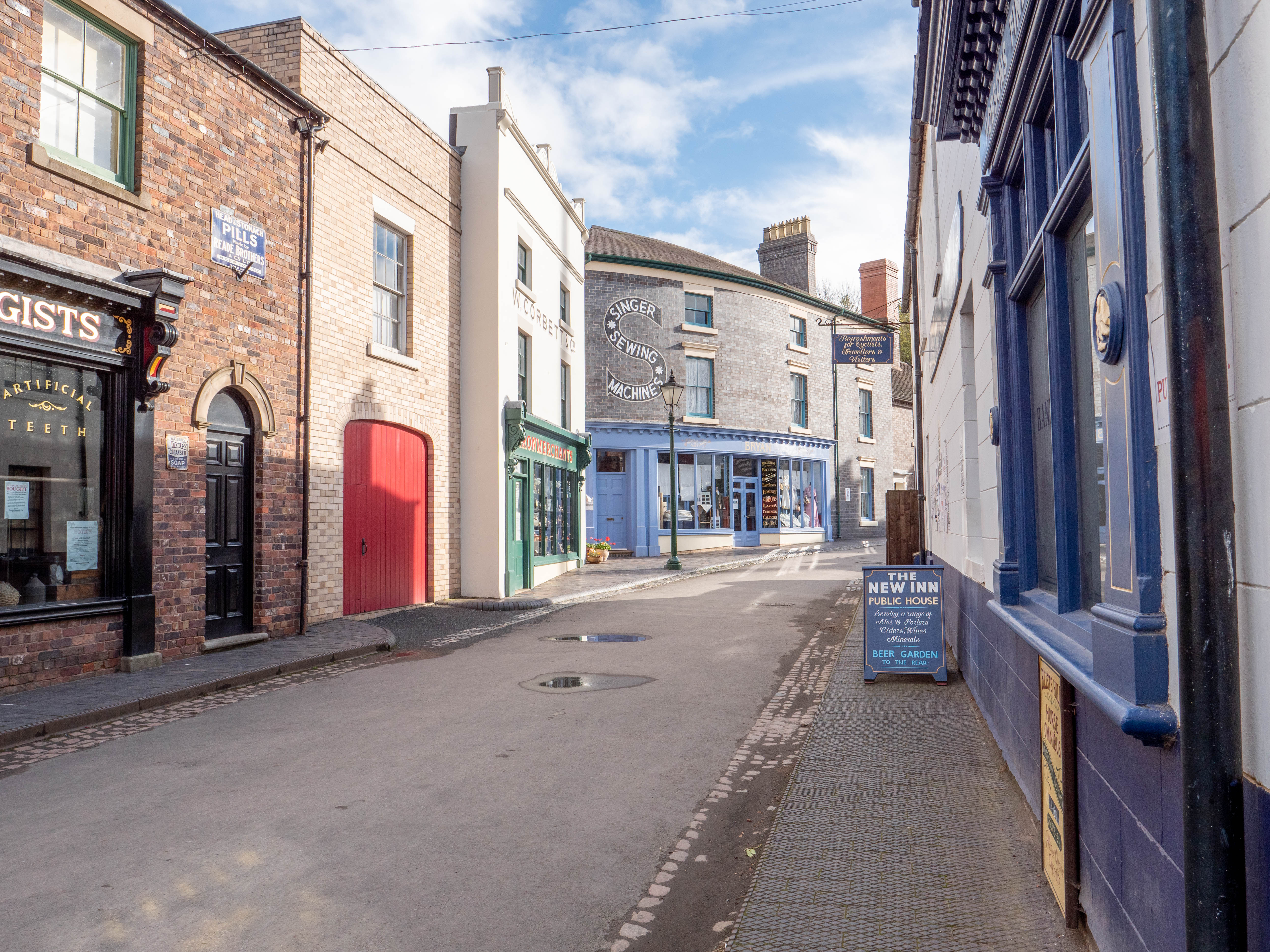
Blists Hill Victorian Town
Blists Hill Victorian Town is an open-air museum built on a former industrial complex located in the Madeley area of Telford, Shropshire, England. The...
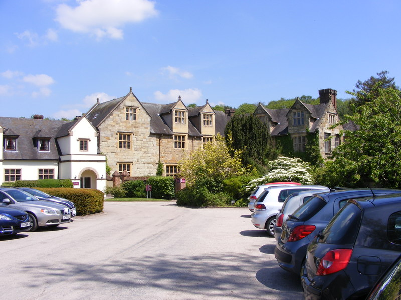
Madeley Court
Madeley Court is a 16th-century country house in Madeley, Shropshire, England which was originally built as a grange to the medieval Wenlock Priory. It...
Nearby Amenities
Located within 500m of 52.634319,-2.4174496Have you been to Clews Wood?
Leave your review of Clews Wood below (or comments, questions and feedback).