Crow Wood
Wood, Forest in Cheshire
England
Crow Wood
Crow Wood is a picturesque woodland located in Cheshire, England. Spanning approximately 100 acres, this enchanting forest is a haven of tranquility and natural beauty. Situated near the village of Crowton, the wood is easily accessible for both locals and visitors.
The wood is predominantly made up of mature deciduous trees, with a wide variety of species including oak, beech, and birch. These towering trees create a dense canopy, filtering sunlight and creating a cool, shady atmosphere. The forest floor is covered in a lush carpet of ferns, mosses, and wildflowers, providing the perfect habitat for a diverse range of wildlife.
Crow Wood is home to a rich array of flora and fauna. Birdwatchers can delight in spotting species such as woodpeckers, thrushes, and owls, while nature enthusiasts may come across squirrels, foxes, and even the occasional deer. The wood is also known for its vibrant butterfly population, with various species flitting among the flowers during the warmer months.
Visitors to Crow Wood can enjoy a peaceful stroll along well-maintained footpaths that wind their way through the woodland. These paths lead to small clearings and tranquil ponds, offering the opportunity for quiet reflection or a picnic amidst nature's serenity.
With its idyllic setting, Crow Wood provides an escape from the hustle and bustle of daily life. Whether it's a leisurely walk, birdwatching, or simply immersing oneself in the beauty of nature, this Cheshire woodland is a cherished retreat for all who visit.
If you have any feedback on the listing, please let us know in the comments section below.
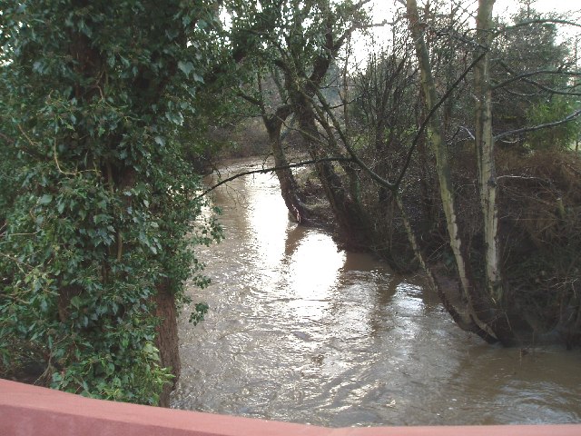
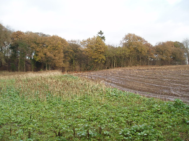
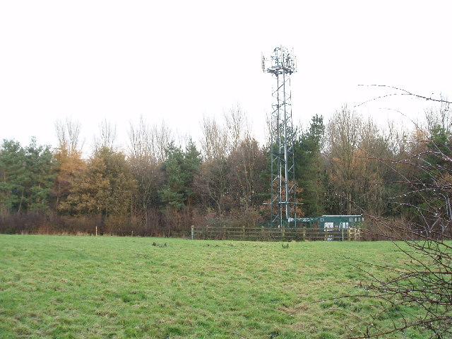
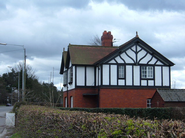
Crow Wood Images
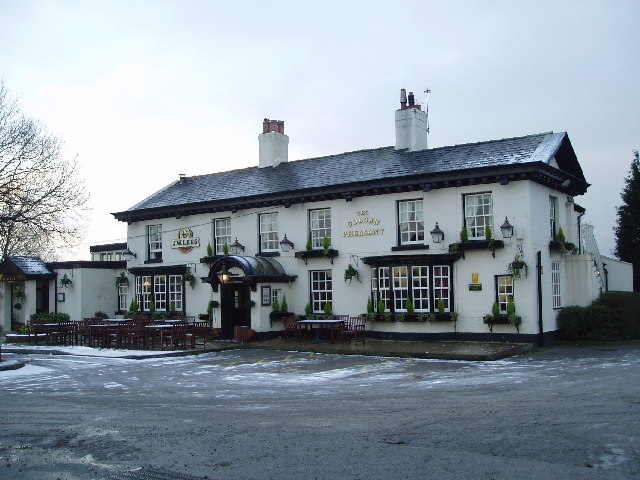
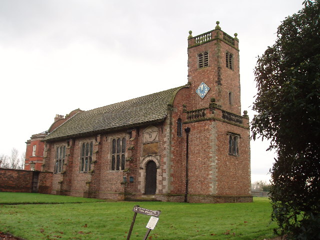
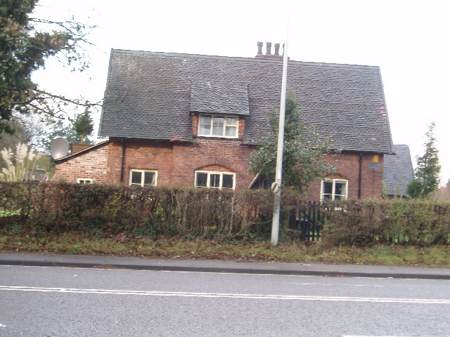
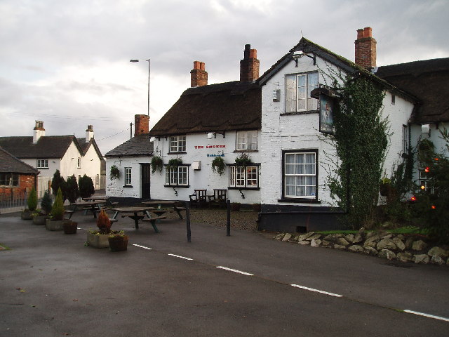
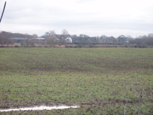
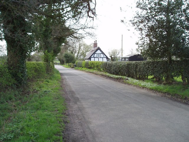
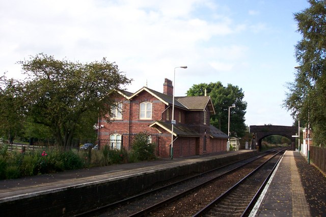
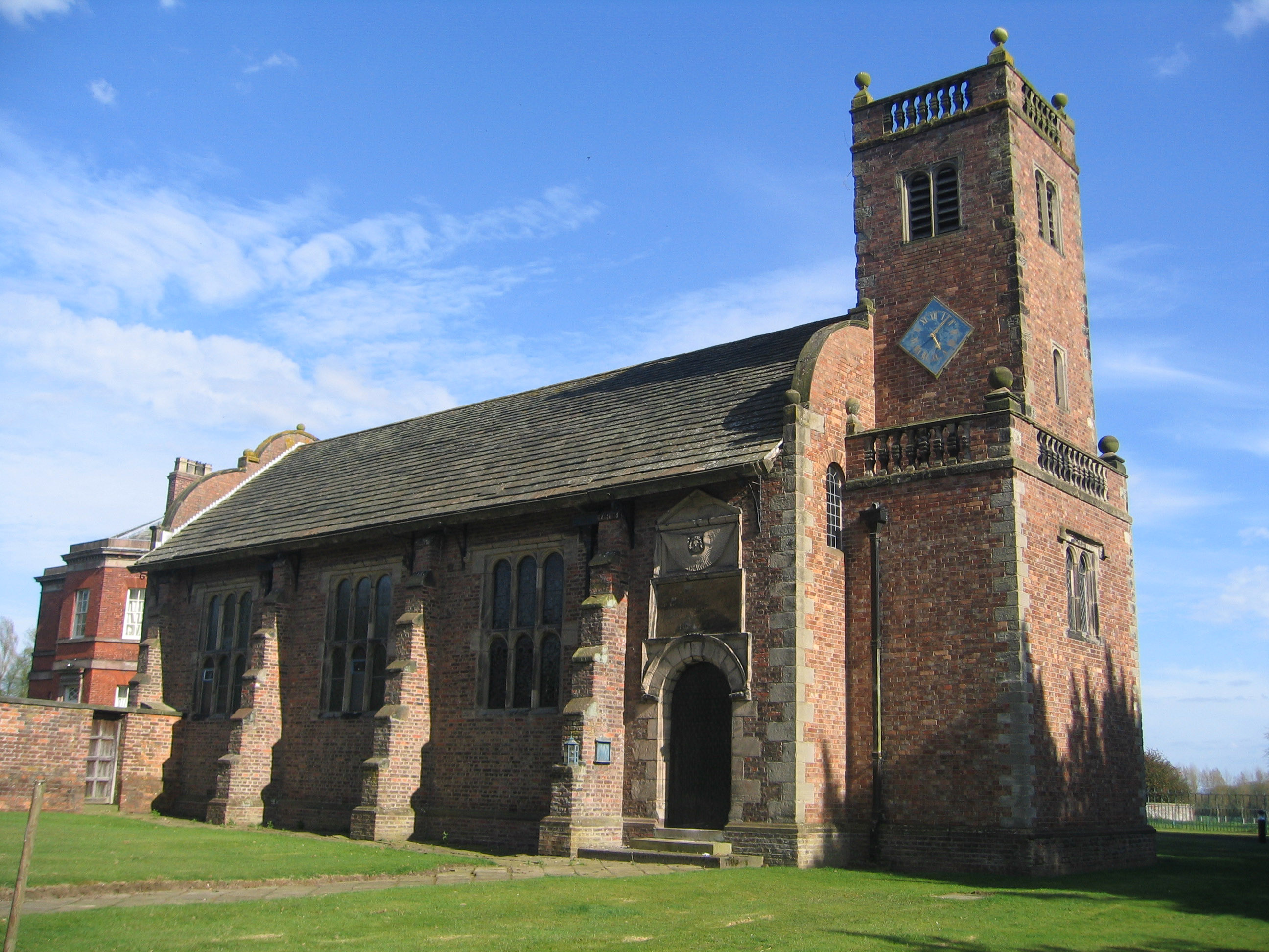
Images are sourced within 2km of 53.286667/-2.4238443 or Grid Reference SJ7176. Thanks to Geograph Open Source API. All images are credited.


Crow Wood is located at Grid Ref: SJ7176 (Lat: 53.286667, Lng: -2.4238443)
Unitary Authority: Cheshire East
Police Authority: Cheshire
What 3 Words
///guests.tearfully.guessing. Near Knutsford, Cheshire
Nearby Locations
Related Wikis
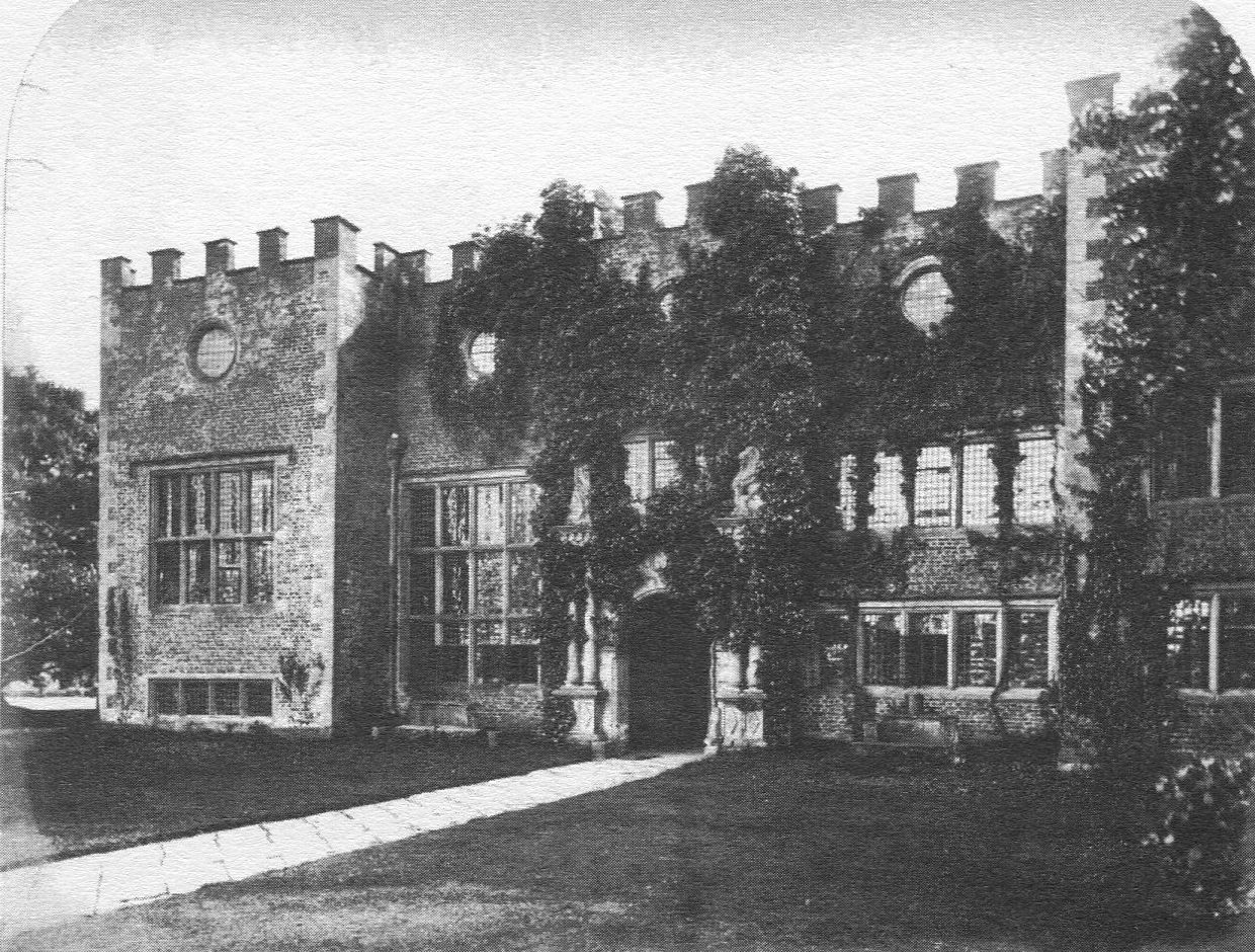
Tabley Old Hall
The ruin of Tabley Old Hall (more properly known as Nether Tabley Old Hall) is on an island surrounded by a moat in the civil parish of Tabley Inferior...
Tabley Inferior
Tabley Inferior is a civil parish in the Borough of Cheshire East and ceremonial county of Cheshire in England. It has a population of 137. Tabley House...

Cuckooland Museum
The Cuckooland Museum, previously known as the Cuckoo Clock Museum, is a museum that exhibits mainly cuckoo clocks, located in Tabley, Cheshire, England...
Plumley
Plumley is a village and civil parish in Cheshire, England, with a population of 643 at the 2011 census.There are two public houses, The Golden Pheasant...
Nearby Amenities
Located within 500m of 53.286667,-2.4238443Have you been to Crow Wood?
Leave your review of Crow Wood below (or comments, questions and feedback).