Bullen Coppice

Wood, Forest in Herefordshire

England

Bullen Coppice

Weir on the river Leadon Viewed from the riverside park formed when the Ledbury bypass was constructed.
Weir on the river Leadon Credit: Bob Embleton

Bullen Coppice is a picturesque woodland located in the county of Herefordshire, England. Covering an area of approximately 100 acres, it is known for its dense and diverse forest that is home to a wide range of flora and fauna.

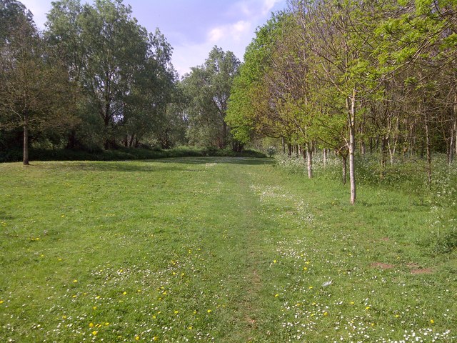
The woodland is characterized by its tall, mature trees, including oak, ash, beech, and birch. These trees provide a dense canopy that allows only dappled sunlight to filter through, creating a serene and peaceful atmosphere. The forest floor is covered with a rich carpet of wildflowers, ferns, and mosses, adding to the overall beauty of the area.

Bullen Coppice is a haven for wildlife. It is home to numerous bird species, including woodpeckers, owls, and songbirds. The forest is also inhabited by mammals such as deer, foxes, and squirrels. Nature enthusiasts and birdwatchers frequent the area to observe and study the diverse wildlife that thrives within the woodland.

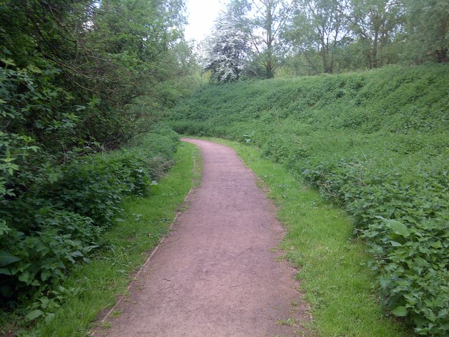
The wood is crisscrossed by a network of well-maintained footpaths, allowing visitors to explore and enjoy the natural beauty of the area. These trails offer varying levels of difficulty, catering to both casual walkers and avid hikers.

Bullen Coppice is managed by the local forestry commission, ensuring the preservation and sustainability of the woodland. It is open to the public year-round, providing a tranquil escape for those seeking solace in nature. Whether it is for a leisurely stroll, birdwatching, or simply to immerse oneself in the peaceful ambiance, Bullen Coppice is a true gem of Herefordshire.

If you have any feedback on the listing, please let us know in the comments section below.

Bullen Coppice Images

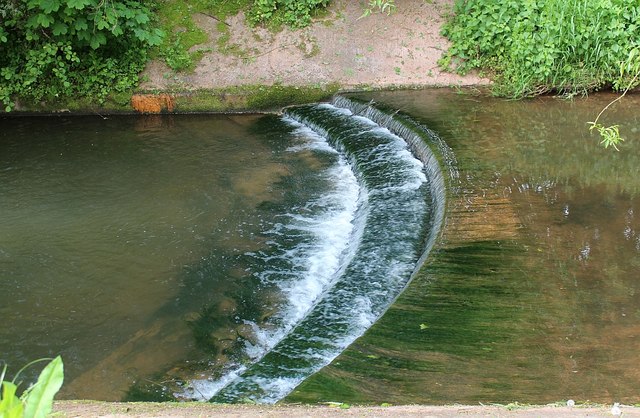
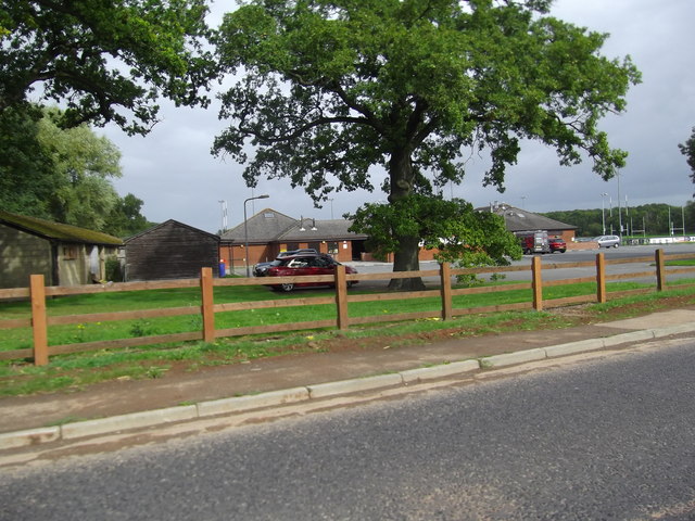
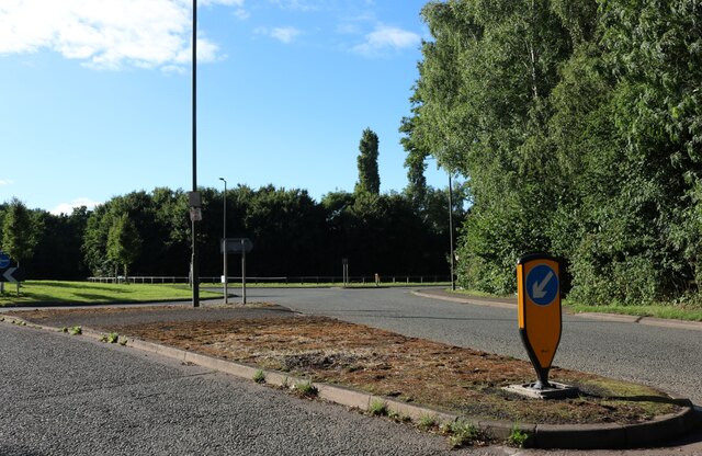
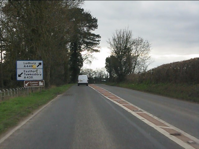
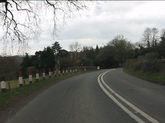
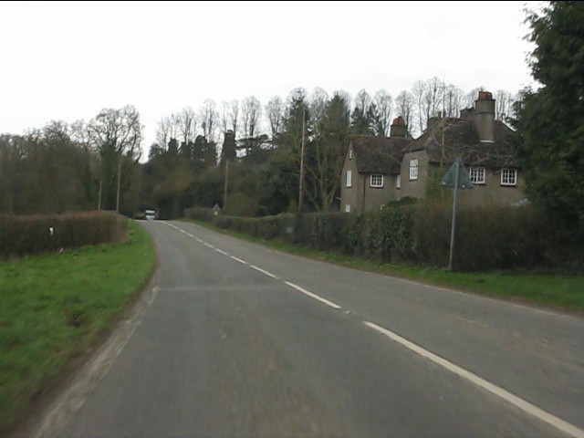
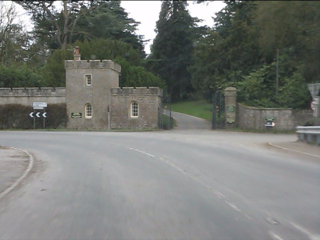
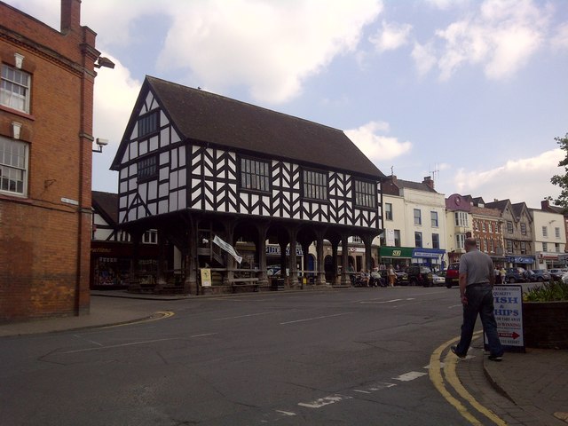
Images are sourced within 2km of 52.02699/-2.4128753 or Grid Reference SO7136. Thanks to Geograph Open Source API. All images are credited.

Weir on the river Leadon Viewed from the riverside park formed when the Ledbury bypass was constructed.
Weir on the river Leadon
Viewed from the riverside park formed when the Ledbury bypass was constructed.
Ledbury Rugby Football Club
Old Milestone by the A449, near Rugby Club, Ledbury Carved stone post by the A449, in parish of LEDBURY (District), East of Box Borders, near Rugby Club, on verge by wire fence, on Northwest side of road. Ledbury stone, erected by the Ledbury turnpike trust in the 19th century. 

Inscription reads:-
TO
LEDBURY
1 MILE
ROSS
11
MILES.

Grade II listed.  
List Entry Number: 1082602 <span class="nowrap"><a title="https://historicengland.org.uk/listing/the-list/list-entry/1082602" rel="nofollow ugc noopener" href="https://historicengland.org.uk/listing/the-list/list-entry/1082602">Link</a><img style="margin-left:2px;" alt="External link" title="External link - shift click to open in new window" src="https://s1.geograph.org.uk/img/external.png" width="10" height="10"/></span>

Milestone Society National ID: HF_LBRS01.
Old Milestone by the A449, near Rugby Club, Ledbury
Carved stone post by the A449, in parish of LEDBURY (District), East of Box Borders, near Rugby Club, on verge by wire fence, on Northwest side of road. Ledbury stone, erected by the Ledbury turnpike trust in the 19th century. Inscription reads:- TO LEDBURY 1 MILE ROSS 11 MILES. Grade II listed. List Entry Number: 1082602 LinkExternal link Milestone Society National ID: HF_LBRS01.
Orlham Lane
Orlham Lane
Roundabout on Leadon Way, Ledbury This is the Ledbury Bypass, named after the local river.
Roundabout on Leadon Way, Ledbury
This is the Ledbury Bypass, named after the local river.
A449 approaching the A438 junction The two route numbers are conjoined through Ledbury.
A449 approaching the A438 junction
The two route numbers are conjoined through Ledbury.
A449 at Eastnor Hill
A438 at Eastnor
A438 at Eastnor
Eastnor Castle Gateway
Ledbury Market House
Riverside Walk
Riverside Walk
Leadon Valley Picnic Area
Solar Panel dedication, Ledbury parish church The Rt Revd Anthony Priddis, the Bishop of Hereford, dedicates recently installed solar panels on two of the south facing roofs from the cherry picker.
St Michael and All Angels has separate roofs over each aisle as well as the nave. 
This has the advantage that 54 solar panels can be installed without being visible from the ground.
Under the most favourable conditions the panels will produce 9.9 kW.
<a href="https://www.geograph.org.uk/photo/2400795">SO7137 : Ascension, St, Michael and All Angels, Ledbury</a>
Solar Panel dedication, Ledbury parish church
The Rt Revd Anthony Priddis, the Bishop of Hereford, dedicates recently installed solar panels on two of the south facing roofs from the cherry picker. St Michael and All Angels has separate roofs over each aisle as well as the nave. This has the advantage that 54 solar panels can be installed without being visible from the ground. Under the most favourable conditions the panels will produce 9.9 kW. SO7137 : Ascension, St, Michael and All Angels, Ledbury
Ascension, St, Michael and All Angels, Ledbury The Bishop of Hereford, the Rt. Revd, Anthony Priddis, is raised to the heavens past the west window of Ledbury parish church upon a cherry picker.
The bishop, in ecumenical hard hat adorned with a white cross, was about to dedicate 9.9kW of solar panels hidden on two of the three south facing roof slopes.
<a href="https://www.geograph.org.uk/photo/2400730">SO7137 : Solar Panel dedication, Ledbury parish church</a>
Ascension, St, Michael and All Angels, Ledbury
The Bishop of Hereford, the Rt. Revd, Anthony Priddis, is raised to the heavens past the west window of Ledbury parish church upon a cherry picker. The bishop, in ecumenical hard hat adorned with a white cross, was about to dedicate 9.9kW of solar panels hidden on two of the three south facing roof slopes. SO7137 : Solar Panel dedication, Ledbury parish church
The Bishop blessing above Ledbury parish church Following the Dedication of the recently installed solar panels on two of the three south facing roofs of St Michael and All Angels, the Bishop of Hereford, The Rt. Revd. Anthony Priddis gives his blessing on the earthbound congregation below.
<a href="https://www.geograph.org.uk/photo/2400730">SO7137 : Solar Panel dedication, Ledbury parish church</a>
The Bishop blessing above Ledbury parish church
Following the Dedication of the recently installed solar panels on two of the three south facing roofs of St Michael and All Angels, the Bishop of Hereford, The Rt. Revd. Anthony Priddis gives his blessing on the earthbound congregation below. SO7137 : Solar Panel dedication, Ledbury parish church
The Nave, St Michael and All Angels, Ledbury Looking along the nave towards the chancel.
The Nave, St Michael and All Angels, Ledbury
Looking along the nave towards the chancel.
Dedication service, Ledbury parish church The Bishop of Hereford attends the service before being lifted aloft to dedicate the recently installed solar panels on the roofs of the church.
The bishop's crook and ecclesiastical purple umbrella lean against the wall on the left.
The short service included the first 14 verses of Psalm 19 and the first 14 verses of St John's Gospel: "the light shines in the darkness"
<a href="https://www.geograph.org.uk/photo/2400730">SO7137 : Solar Panel dedication, Ledbury parish church</a>
Dedication service, Ledbury parish church
The Bishop of Hereford attends the service before being lifted aloft to dedicate the recently installed solar panels on the roofs of the church. The bishop's crook and ecclesiastical purple umbrella lean against the wall on the left. The short service included the first 14 verses of Psalm 19 and the first 14 verses of St John's Gospel: "the light shines in the darkness" SO7137 : Solar Panel dedication, Ledbury parish church
Solar power interior installation, Ledbury parish church The switches and inverters in the upper room in the church of St Michael and All Angels. 
The solar panels, hidden from public view on two of the three south facing roof slopes, can generate up to 9.9 kW of electricity.
The Bishop of Hereford, the Rt. Revd. Anthony Priddis, quizzes the Clearfocus rep after being hoisted up the outside of the church on a cherry picker to dedicate the solar panels.
<a href="https://www.geograph.org.uk/photo/2400730">SO7137 : Solar Panel dedication, Ledbury parish church</a>
<span class="nowrap"><a title="http://www.clearfocusltd.co.uk/" rel="nofollow ugc noopener" href="http://www.clearfocusltd.co.uk/">Link</a><img style="margin-left:2px;" alt="External link" title="External link - shift click to open in new window" src="https://s1.geograph.org.uk/img/external.png" width="10" height="10"/></span>
Solar power interior installation, Ledbury parish church
The switches and inverters in the upper room in the church of St Michael and All Angels. The solar panels, hidden from public view on two of the three south facing roof slopes, can generate up to 9.9 kW of electricity. The Bishop of Hereford, the Rt. Revd. Anthony Priddis, quizzes the Clearfocus rep after being hoisted up the outside of the church on a cherry picker to dedicate the solar panels. SO7137 : Solar Panel dedication, Ledbury parish church LinkExternal link
Show me another place!

Bullen Coppice is located at Grid Ref: SO7136 (Lat: 52.02699, Lng: -2.4128753)

Unitary Authority: County of Herefordshire

Police Authority: West Mercia

What 3 Words

///burying.excusing.civic. Near Ledbury, Herefordshire

Nearby Locations

Bullen Coppice

Related Wikis

Parkway, Herefordshire

Parkway is a hamlet centred 2 km (1.2 mi) south of the market town of Ledbury in Herefordshire, England, centred on the direct single-carriageway north...

John Masefield High School

John Masefield High School is a secondary school with an academy status, located in Ledbury, Herefordshire, England. It is named after the poet John Masefield...

Ledbury

Ledbury is a market town and civil parish in the county of Herefordshire, England, lying east of Hereford, and west of the Malvern Hills. It has a significant...

Church of St Michael and All Angels, Ledbury

The Church of St Michael and All Angels is an Anglican church in Ledbury, in Herefordshire, England. The oldest parts date from the 12th century, and most...

Nearby Amenities

Located within 500m of 52.02699,-2.4128753
Bench
Lat/Long: 52.0286466/-2.4163232
Bench
Lat/Long: 52.0299316/-2.4173864
Barrier: kissing_gate
Lat/Long: 52.0280545/-2.4059028
Crossing
Lat/Long: 52.0290032/-2.4164912
Orchard Cottage
Power: pole
Transformer: distribution
Voltage Primary: 11000
Lat/Long: 52.0293633/-2.4123734
Power: pole
Lat/Long: 52.0283351/-2.4126349
Power: pole
Lat/Long: 52.0273008/-2.412016
Cherry Orchard Ledbury
Power: pole
Transformer: distribution
Voltage Primary: 11000
Lat/Long: 52.0270042/-2.4099735
Power: pole
Lat/Long: 52.0265305/-2.4101271
Power: pole
Lat/Long: 52.0256864/-2.4066315
Power: pole
Lat/Long: 52.0252886/-2.4076024
Power: pole
Lat/Long: 52.0254227/-2.4085191
Power: pole
Lat/Long: 52.0255329/-2.409246
Power: pole
Lat/Long: 52.0256736/-2.4100533
Power: pole
Lat/Long: 52.0252379/-2.410172
Power: pole
Lat/Long: 52.0248764/-2.4102779
Power: pole
Lat/Long: 52.024489/-2.4103685
Dunbridge Farm
Power: pole
Transformer: distribution
Voltage Primary: 11000
Lat/Long: 52.0240265/-2.4110316
Power: pole
Lat/Long: 52.023717/-2.4111879
Power: pole
Lat/Long: 52.0232033/-2.4114521
Power: pole
Lat/Long: 52.0226236/-2.4122963
The data included in this document is from www.openstreetmap.org. The data is made available under ODbL.

Have you been to Bullen Coppice?

Leave your review of Bullen Coppice below (or comments, questions and feedback).