Grange Copse

Wood, Forest in Dorset

England

Grange Copse

Old Bridge Marker on King's Stag Bridge, The Common, Pulham parish Bridge Marker by the UC road, in parish of Pulham (North Dorset District), The Common, King's Stag Bridge.

Inscription reads:-
DORSET
ANY PERSON WILFULLY INJURING
ANY PART OF THIS COUNTY BRIDGE
WILL BE GUILTY OF FELONY AND
UPON CONVICTION LIABLE TO BE
TRANSPORTED FOR LIFE
BY THE COURT
7&8 GEO 4 C30 S13 T FOOKS

King's Stag Bridge is Grade II listed in two parts - one part for each parish.
Hazlebury Bryan parish - List Entry Number: 1287981 <span class="nowrap"><a title="https://historicengland.org.uk/listing/the-list/list-entry/1287981" rel="nofollow ugc noopener" href="https://historicengland.org.uk/listing/the-list/list-entry/1287981">Link</a><img style="margin-left:2px;" alt="External link" title="External link - shift click to open in new window" src="https://s1.geograph.org.uk/img/external.png" width="10" height="10"/></span>
Pulham parish - List Entry Number: 1228069 <span class="nowrap"><a title="https://historicengland.org.uk/listing/the-list/list-entry/1228069" rel="nofollow ugc noopener" href="https://historicengland.org.uk/listing/the-list/list-entry/1228069">Link</a><img style="margin-left:2px;" alt="External link" title="External link - shift click to open in new window" src="https://s1.geograph.org.uk/img/external.png" width="10" height="10"/></span>

Surveyed

Milestone Society National ID: DO_TRAKISbr
Old Bridge Marker on King's Stag Bridge, The Common, Pulham parish Credit: Milestone Society

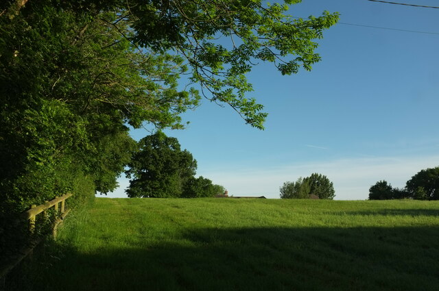
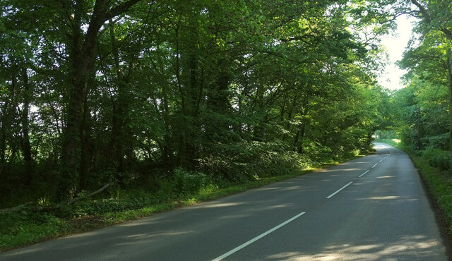
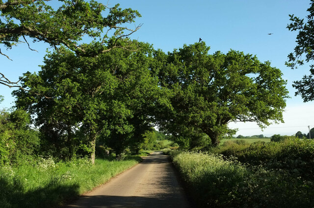
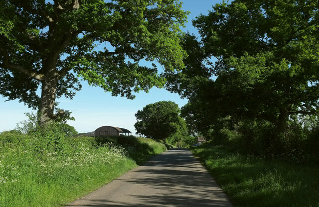
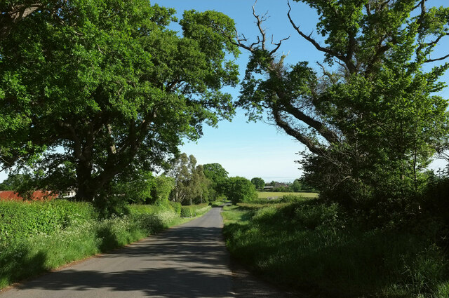
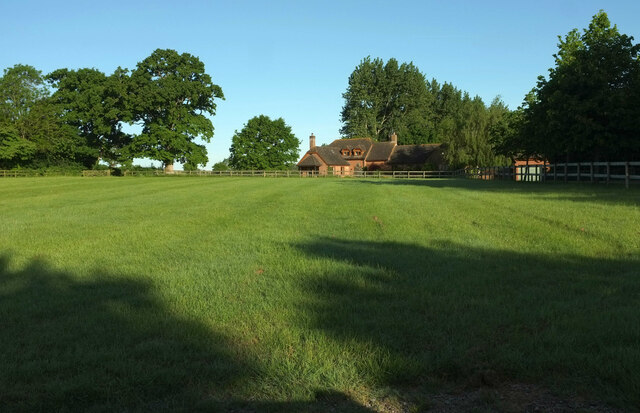
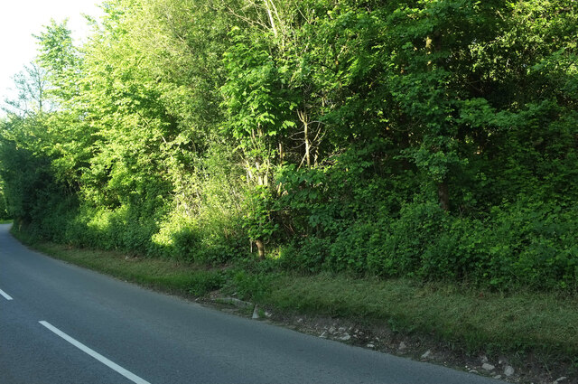
Grange Copse is a picturesque wood located in the county of Dorset, England. Situated on the outskirts of the small village of Grange, this forested area covers an estimated 50 acres of land. It is known for its diverse range of flora and fauna, making it a popular destination for nature enthusiasts and hikers.

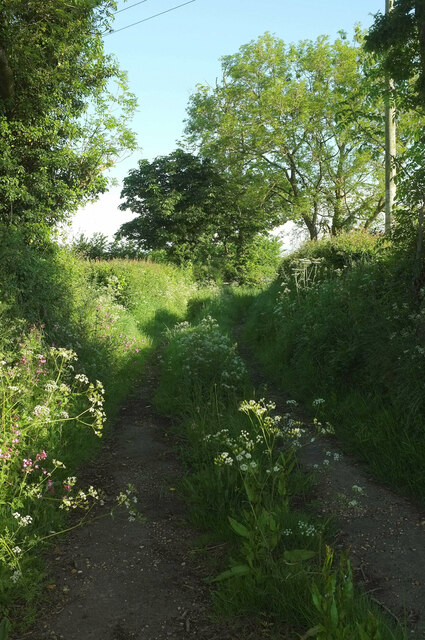
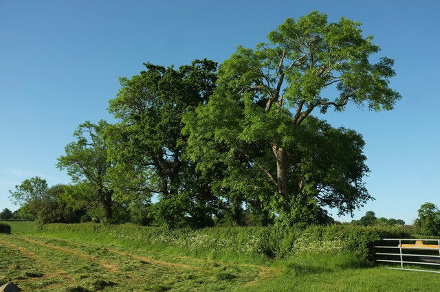
The copse is predominantly made up of native broadleaf trees, such as oak, beech, and ash, which provide a rich canopy, allowing for a varied understory of plants to flourish. Bluebells, primroses, and violets are just a few examples of the vibrant wildflowers that can be found carpeting the forest floor during springtime.

The wood is also home to a variety of wildlife. Visitors may spot deer, foxes, and badgers roaming freely, while birdwatchers can enjoy sightings of woodpeckers, owls, and various songbirds. The diverse ecosystem of Grange Copse provides ample opportunities for nature photographers and researchers alike.

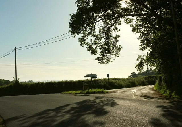
For those seeking recreational activities, the copse offers a network of well-maintained walking trails, providing access to the heart of the woodland. These trails range in difficulty, catering to both casual strollers and more experienced hikers. Additionally, Grange Copse is equipped with picnic areas and benches, allowing visitors to relax and soak in the tranquil atmosphere.

Overall, Grange Copse in Dorset is a haven for nature lovers, offering a beautiful and serene environment to explore and appreciate the natural wonders of the British countryside.

If you have any feedback on the listing, please let us know in the comments section below.

Grange Copse Images

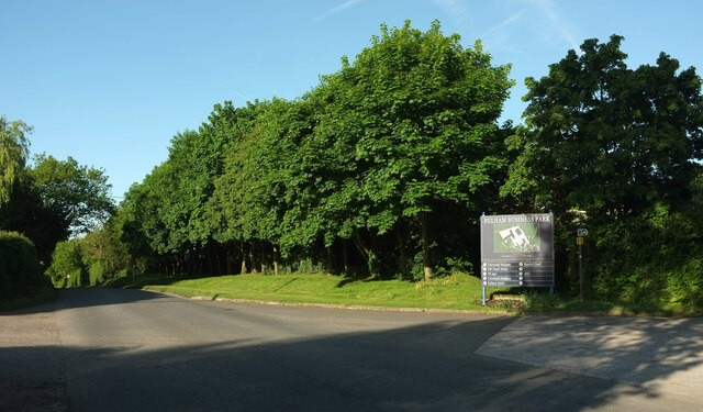
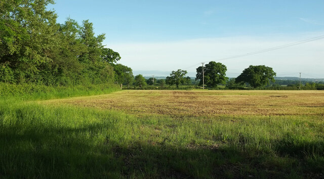
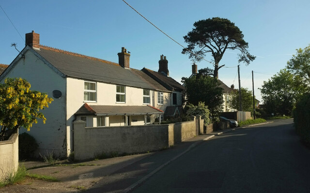
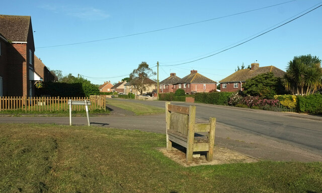
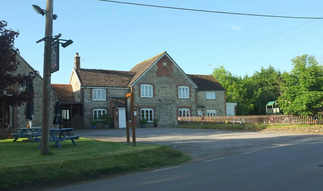
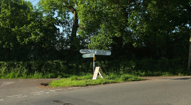
Images are sourced within 2km of 50.882602/-2.4029282 or Grid Reference ST7109. Thanks to Geograph Open Source API. All images are credited.

Old Bridge Marker on King's Stag Bridge, The Common, Pulham parish Bridge Marker by the UC road, in parish of Pulham (North Dorset District), The Common, King's Stag Bridge.

Inscription reads:-
DORSET
ANY PERSON WILFULLY INJURING
ANY PART OF THIS COUNTY BRIDGE
WILL BE GUILTY OF FELONY AND
UPON CONVICTION LIABLE TO BE
TRANSPORTED FOR LIFE
BY THE COURT
7&8 GEO 4 C30 S13 T FOOKS

King's Stag Bridge is Grade II listed in two parts - one part for each parish.
Hazlebury Bryan parish - List Entry Number: 1287981 <span class="nowrap"><a title="https://historicengland.org.uk/listing/the-list/list-entry/1287981" rel="nofollow ugc noopener" href="https://historicengland.org.uk/listing/the-list/list-entry/1287981">Link</a><img style="margin-left:2px;" alt="External link" title="External link - shift click to open in new window" src="https://s1.geograph.org.uk/img/external.png" width="10" height="10"/></span>
Pulham parish - List Entry Number: 1228069 <span class="nowrap"><a title="https://historicengland.org.uk/listing/the-list/list-entry/1228069" rel="nofollow ugc noopener" href="https://historicengland.org.uk/listing/the-list/list-entry/1228069">Link</a><img style="margin-left:2px;" alt="External link" title="External link - shift click to open in new window" src="https://s1.geograph.org.uk/img/external.png" width="10" height="10"/></span>

Surveyed

Milestone Society National ID: DO_TRAKISbr
Old Bridge Marker on King's Stag Bridge, The Common, Pulham parish
Bridge Marker by the UC road, in parish of Pulham (North Dorset District), The Common, King's Stag Bridge. Inscription reads:- DORSET ANY PERSON WILFULLY INJURING ANY PART OF THIS COUNTY BRIDGE WILL BE GUILTY OF FELONY AND UPON CONVICTION LIABLE TO BE TRANSPORTED FOR LIFE BY THE COURT 7&8 GEO 4 C30 S13 T FOOKS King's Stag Bridge is Grade II listed in two parts - one part for each parish. Hazlebury Bryan parish - List Entry Number: 1287981 LinkExternal link Pulham parish - List Entry Number: 1228069 LinkExternal link Surveyed Milestone Society National ID: DO_TRAKISbr
Field, West Pulham The nightmare that is footpath N49 20 is drawing to a close. Currently my nomination for Dorset's worst right of way (of those I've completed), and there's tough competition. Visible in the centre is the roof of Chaselands.
Field, West Pulham
The nightmare that is footpath N49 20 is drawing to a close. Currently my nomination for Dorset's worst right of way (of those I've completed), and there's tough competition. Visible in the centre is the roof of Chaselands.
B3143 northeast of Pulham The B road runs between two narrow belts of trees towards King's Stag.
B3143 northeast of Pulham
The B road runs between two narrow belts of trees towards King's Stag.
Footpath, Furze Hill Footpath N49 14 runs along this track between hedges from the B3143 before turning left to cross fields.
Footpath, Furze Hill
Footpath N49 14 runs along this track between hedges from the B3143 before turning left to cross fields.
Lane to Holwell Roadside trees on a straight lane passing Oakwood View.
Lane to Holwell
Roadside trees on a straight lane passing Oakwood View.
Grass triangle near Pulham Part of a staggered crossroads on the B3143, bearing left here. The turning on the right is Cannings Court Lane, a no through road.
Grass triangle near Pulham
Part of a staggered crossroads on the B3143, bearing left here. The turning on the right is Cannings Court Lane, a no through road.
Trees near Hartmoor Farm Along the lane from Holwell to Pulham.
Trees near Hartmoor Farm
Along the lane from Holwell to Pulham.
Passing Holwell Hill Farm On the lane from Pulham to Holwell.
Passing Holwell Hill Farm
On the lane from Pulham to Holwell.
Lane to Holwell A little further north from <a href="https://www.geograph.org.uk/photo/7184565">ST7010 : Passing Holwell Hill Farm</a>. A little of the village of Holwell is visible ahead right of centre.
Lane to Holwell
A little further north from ST7010 : Passing Holwell Hill Farm. A little of the village of Holwell is visible ahead right of centre.
House at Pulham Chaselands also appears in <a href="https://www.geograph.org.uk/photo/7180955">ST7008 : Field, West Pulham</a>. Needless to say the footpath I was trying to follow has no exit onto the road where mapped; I took the trouble to search diligently on both sides of the hedge. So I have to leave this meadow via the entrance driveway to the house. Footpath N49 20 is 478 metres long (<span class="nowrap"><a title="http://www.rowmaps.com/showmap.php?place=West%20Pulham&map=BingOS&lat=50.8723&lon=2.4236&lonew=W" rel="nofollow ugc noopener" href="http://www.rowmaps.com/showmap.php?place=West%20Pulham&map=BingOS&lat=50.8723&lon=2.4236&lonew=W">Link</a><img style="margin-left:2px;" alt="External link" title="External link - shift click to open in new window" src="https://s1.geograph.org.uk/img/external.png" width="10" height="10"/></span> ) and has around four impassable stiles or crossing places, which could easily be a record, at around 1 per 120 metres. It took me 18 minutes to get from one end to the other.
House at Pulham
Chaselands also appears in ST7008 : Field, West Pulham. Needless to say the footpath I was trying to follow has no exit onto the road where mapped; I took the trouble to search diligently on both sides of the hedge. So I have to leave this meadow via the entrance driveway to the house. Footpath N49 20 is 478 metres long (LinkExternal link ) and has around four impassable stiles or crossing places, which could easily be a record, at around 1 per 120 metres. It took me 18 minutes to get from one end to the other.
Towards Old Lipgate Farm A view on the other side of the B3143 from <a href="https://www.geograph.org.uk/photo/7561251">ST7007 : Grass field by the B3143</a>.
Towards Old Lipgate Farm
A view on the other side of the B3143 from ST7007 : Grass field by the B3143.
Missing footpath, Pulham This shows the section of the B3143 where footpath N49 20 is mapped as beginning. I walked along it, very carefully looking for any sign of a path, but in vain. See <a href="https://www.geograph.org.uk/photo/7561245">ST7008 : House at Pulham</a>, <a href="https://www.geograph.org.uk/photo/7560808">ST7008 : Stile near Pulham</a>, <a href="https://www.geograph.org.uk/photo/7560806">ST7008 : Damaged stile near Pulham</a> and <a href="https://www.geograph.org.uk/photo/7560802">ST6908 : Overgrown stile near Pulham</a> for more information on this disgracefully-maintained path.
Missing footpath, Pulham
This shows the section of the B3143 where footpath N49 20 is mapped as beginning. I walked along it, very carefully looking for any sign of a path, but in vain. See ST7008 : House at Pulham, ST7008 : Stile near Pulham, ST7008 : Damaged stile near Pulham and ST6908 : Overgrown stile near Pulham for more information on this disgracefully-maintained path.
B3143 at Pulham Business Park The board lists seven enterprises in the park's four buildings.
B3143 at Pulham Business Park
The board lists seven enterprises in the park's four buildings.
Field, Pulham Pulham Business Park is on the other side of the trees on the left.
Field, Pulham
Pulham Business Park is on the other side of the trees on the left.
Houses at Pulham Alongside the B3143.
Houses at Pulham
Alongside the B3143.
Pulham Not the prettiest of Dorset villages. The B3143 on the right passes through; the turning on the left is Halsey Green. The church is isolated on a side road off to the east <a title="https://www.geograph.org.uk/gridref/ST7108?centi=ST711085" href="https://www.geograph.org.uk/gridref/ST7108?centi=ST711085">Link</a> .
Pulham
Not the prettiest of Dorset villages. The B3143 on the right passes through; the turning on the left is Halsey Green. The church is isolated on a side road off to the east Link .
The Halsey Arms, Pulham The pub is set back from the B3143 (foreground).
The Halsey Arms, Pulham
The pub is set back from the B3143 (foreground).
Signpost near Pulham A more conventional view than <a href="https://www.geograph.org.uk/photo/7184398">ST7008 : Grass triangle near Pulham</a>, but alas I cannot  work out what the A-board is advertising.
Signpost near Pulham
A more conventional view than ST7008 : Grass triangle near Pulham, but alas I cannot work out what the A-board is advertising.
Show me another place!

Grange Copse is located at Grid Ref: ST7109 (Lat: 50.882602, Lng: -2.4029282)

Unitary Authority: Dorset

Police Authority: Dorset

What 3 Words

///finishing.reinvest.inflating. Near Sturminster Newton, Dorset

Related Wikis

Pulham

Pulham is a village and civil parish in the county of Dorset in south-west England. It is situated in the Blackmore Vale, 7 miles (11 kilometres) southeast...

King's Stag Memorial Chapel

King's Stag Memorial Chapel is a Church of England chapel in King's Stag, Dorset, England. == History == The memorial chapel at King's Stag was built in...

Holwell, Dorset

Holwell is a village and civil parish in the county of Dorset in southern England, situated approximately 5 miles (8.0 km) south-east of Sherborne. It...

Woodbridge, Dorset

Woodbridge is a hamlet in Dorset, England. The village is on the A3030 road and to the north east of Holwell. == History == Woodbridge was part of the...

Nearby Amenities

Located within 500m of 50.882602,-2.4029282
Colour: gray
Design: portal
Line Attachment: suspension
Material: metal
Power: tower
Source: bing
Structure: lattice
Lat/Long: 50.8785542/-2.4040017
Colour: gray
Design: portal
Line Attachment: suspension
Material: metal
Power: tower
Source: bing
Structure: lattice
Lat/Long: 50.8791184/-2.406484
Material: wood
Power: pole
Source: bing
Lat/Long: 50.8799649/-2.4086963
Material: wood
Power: pole
Source: bing
Lat/Long: 50.8810055/-2.4079639
Material: wood
Power: pole
Source: bing
Lat/Long: 50.8812096/-2.4056099
Material: wood
Power: pole
Source: bing
Transformer: distribution
Lat/Long: 50.8813843/-2.404716
Material: wood
Power: pole
Source: bing
Lat/Long: 50.882027/-2.4072527
Material: wood
Power: pole
Source: bing
Lat/Long: 50.8827296/-2.4062771
Material: wood
Power: pole
Source: bing
Lat/Long: 50.883668/-2.4050057
Material: wood
Power: pole
Source: bing
Lat/Long: 50.8841299/-2.4048255
Material: wood
Power: pole
Source: bing
Lat/Long: 50.8847706/-2.4053608
Material: wood
Power: pole
Source: bing
Lat/Long: 50.8852862/-2.4057792
Material: wood
Power: pole
Source: bing
Lat/Long: 50.8859322/-2.4063335
Material: wood
Power: pole
Source: bing
Lat/Long: 50.8855161/-2.4075176
Poles: bipole
Power: pole
Source: bing
Lat/Long: 50.8839074/-2.4050953
Poles: bipole
Power: pole
Source: bing
Lat/Long: 50.8844108/-2.4058449
Power: pole
Source: bing
Lat/Long: 50.8855936/-2.4072598
Poles: bipole
Power: pole
Source: bing
Lat/Long: 50.8845699/-2.4056344
Poles: bipole
Power: pole
Source: bing
Lat/Long: 50.8840496/-2.4048257
Power: pole
Source: bing
Lat/Long: 50.8810035/-2.4066831
Power: pole
Source: bing
Lat/Long: 50.8802361/-2.4044354
Power: pole
Source: bing
Lat/Long: 50.8805204/-2.4044837
Power: pole
Source: bing
Lat/Long: 50.8809341/-2.4045548
Power: pole
Source: bing
Lat/Long: 50.8815679/-2.405106
Power: pole
Source: bing
Lat/Long: 50.8817862/-2.4056263
Power: pole
Source: bing
Lat/Long: 50.8820603/-2.4061547
Power: pole
Source: bing
Lat/Long: 50.8823032/-2.4066804
Fixme: incomplete
Lat/Long: 50.8861554/-2.4032271
The data included in this document is from www.openstreetmap.org. The data is made available under ODbL.

Have you been to Grange Copse?

Leave your review of Grange Copse below (or comments, questions and feedback).