Brabbin Wood

Wood, Forest in Yorkshire Ribble Valley

England

Brabbin Wood

Ordnance Survey Cut Mark This mark can be found on the roadside wall of a dwelling, former farm building, at Robinson's Farm, Easington.
The benchmark has a recorded height of 141.0157 metres above sea level.
For more detail see : <span class="nowrap"><a title="https://www.bench-marks.org.uk/bm145767" rel="nofollow ugc noopener" href="https://www.bench-marks.org.uk/bm145767">Link</a><img style="margin-left:2px;" alt="External link" title="External link - shift click to open in new window" src="https://s1.geograph.org.uk/img/external.png" width="10" height="10"/></span>
Ordnance Survey Cut Mark Credit: Peter Wood

Brabbin Wood is a picturesque and enchanting forest located in the heart of Yorkshire, England. Spread over an area of approximately 100 acres, this woodland is a haven for nature enthusiasts and provides a tranquil escape from the hustle and bustle of everyday life.

The wood is predominantly composed of native broadleaf trees, including oak, beech, and birch, which create a dense and verdant canopy overhead. The forest floor is adorned with a diverse array of wildflowers, ferns, and mosses, adding to its natural beauty. Brabbin Wood is also home to a variety of wildlife, such as deer, badgers, rabbits, and numerous bird species, making it a popular spot for birdwatching and wildlife photography.

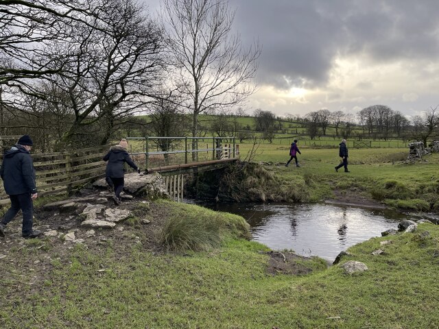
Several well-maintained trails wind their way through the wood, allowing visitors to explore its hidden treasures at their own pace. These paths vary in difficulty, catering to both casual walkers and avid hikers. Along the way, one can discover charming streams and small waterfalls that add to the serenity of the surroundings.

Brabbin Wood has been carefully managed by local conservation organizations to preserve its ecological integrity and protect its biodiversity. It serves as an important habitat for rare and endangered species, making it of significant ecological value.

Whether you are seeking a peaceful retreat, a chance to immerse yourself in nature, or simply to enjoy a leisurely stroll in a stunning setting, Brabbin Wood is the perfect destination. Its natural beauty, vibrant wildlife, and well-maintained trails make it a must-visit location for anyone exploring the Yorkshire region.

If you have any feedback on the listing, please let us know in the comments section below.
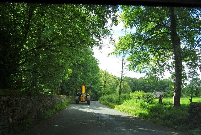
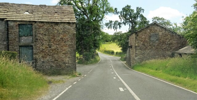
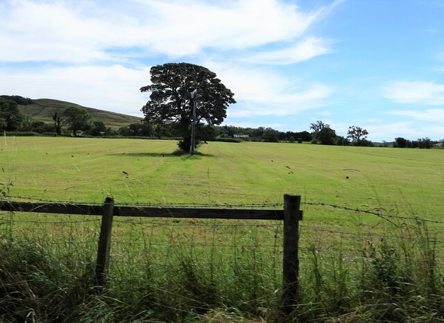
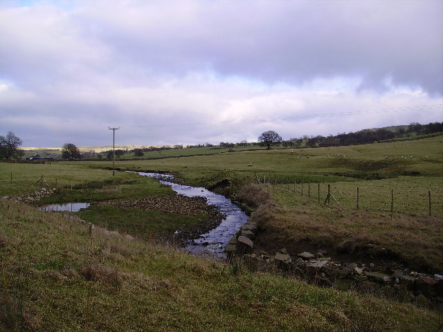
Brabbin Wood Images

Images are sourced within 2km of 53.946655/-2.4326441 or Grid Reference SD7150. Thanks to Geograph Open Source API. All images are credited.

Ordnance Survey Cut Mark This mark can be found on the roadside wall of a dwelling, former farm building, at Robinson's Farm, Easington.
The benchmark has a recorded height of 141.0157 metres above sea level.
For more detail see : <span class="nowrap"><a title="https://www.bench-marks.org.uk/bm145767" rel="nofollow ugc noopener" href="https://www.bench-marks.org.uk/bm145767">Link</a><img style="margin-left:2px;" alt="External link" title="External link - shift click to open in new window" src="https://s1.geograph.org.uk/img/external.png" width="10" height="10"/></span>
Ordnance Survey Cut Mark
This mark can be found on the roadside wall of a dwelling, former farm building, at Robinson's Farm, Easington. The benchmark has a recorded height of 141.0157 metres above sea level. For more detail see : LinkExternal link
Slow moving traffic on the road to Newton in Bowland Near Bluebutts Farm.
Slow moving traffic on the road to Newton in Bowland
Near Bluebutts Farm.
Ford at Newton This ford is found on a stream leading into the Hodder at Newton.
Ford at Newton
This ford is found on a stream leading into the Hodder at Newton.
Farm Ford at Easington This ford is found at Manor House near Easington.
Farm Ford at Easington
This ford is found at Manor House near Easington.
Ordnance Survey Cut Mark This mark can be found on a roadside gatepost at the track entrance to Fowler's Laithe.
The benchmark has a recorded height of 156.3716 metres above sea level.
For more detail see : <span class="nowrap"><a title="https://www.bench-marks.org.uk/bm152249" rel="nofollow ugc noopener" href="https://www.bench-marks.org.uk/bm152249">Link</a><img style="margin-left:2px;" alt="External link" title="External link - shift click to open in new window" src="https://s1.geograph.org.uk/img/external.png" width="10" height="10"/></span>
Ordnance Survey Cut Mark
This mark can be found on a roadside gatepost at the track entrance to Fowler's Laithe. The benchmark has a recorded height of 156.3716 metres above sea level. For more detail see : LinkExternal link
Clerk Laithe Lodge On the B6478 outside Newton in Bowland and originally a barn the building is now converted to a guest house
Clerk Laithe Lodge
On the B6478 outside Newton in Bowland and originally a barn the building is now converted to a guest house
Farm buildings At Hill House on the B6478 south of Newton in Bowland.
Farm buildings
At Hill House on the B6478 south of Newton in Bowland.
Tree and telegraph pole Off the road to Cow Ark.
Tree and telegraph pole
Off the road to Cow Ark.
Dunnow do you ? A piece of Little Britain in Bowland
Dunnow do you ?
A piece of Little Britain in Bowland
Near Langcliff Cross Brennand Hill in the distance.
Near Langcliff Cross
Brennand Hill in the distance.
Easington Fell From the road to Cow Ark
Easington Fell
From the road to Cow Ark
Easington Brook Soon enters the River Hodder at Easington
Easington Brook
Soon enters the River Hodder at Easington
Skelshaw Renovated Farmhouse
Skelshaw
Renovated Farmhouse
Fields by Harrop Hall Towards Easington Fell
Fields by Harrop Hall
Towards Easington Fell
Manor House, Easington By Easington Brook
Manor House, Easington
By Easington Brook
Gate Gate for access track to disused quarry which can be seen above the gate
Gate
Gate for access track to disused quarry which can be seen above the gate
Gateway New gateway plus some newly laid hedge
Gateway
New gateway plus some newly laid hedge
Bluebutts Farm
Bluebutts Farm
Show me another place!

Brabbin Wood is located at Grid Ref: SD7150 (Lat: 53.946655, Lng: -2.4326441)

Division: West Riding

Administrative County: Lancashire

District: Ribble Valley

Police Authority: Lancashire

What 3 Words

///situated.lifelong.excavated. Near Waddington, Lancashire

Nearby Locations

Brabbin Wood Easington

Related Wikis

Newton-in-Bowland

Newton or Newton-in-Bowland is a village and civil parish in the Ribble Valley district, in the county of Lancashire, England, formerly known as Newton...

Easington Fell

Easington Fell is a Marilyn in the Forest of Bowland in Lancashire, England. It has been surveyed to be 70 cm higher than a nearby fell of almost identical...

St Andrew's Church, Slaidburn

St Andrew's Church is in Church Street, Slaidburn, Lancashire, England. It is an active Anglican parish church in the deanery of Bowland, the archdeaconry...

Slaidburn

Slaidburn () is a village and civil parish within the Ribble Valley district of Lancashire, England. The parish covers just over 5,000 acres of the Forest...

Nearby Amenities

Located within 500m of 53.946655,-2.4326441
Barrier: stile
Material: wood
Source: survey;gps
Stile: stepover
Lat/Long: 53.9432148/-2.4373378
Barrier: stile
Material: wood
Source: survey;gps
Stile: stepover
Lat/Long: 53.9431689/-2.4372931
Barrier: stile
Material: wood
Source: survey;gps
Stile: stepover
Lat/Long: 53.9444997/-2.4385893
The data included in this document is from www.openstreetmap.org. The data is made available under ODbL.

Have you been to Brabbin Wood?

Leave your review of Brabbin Wood below (or comments, questions and feedback).