Delph Plantation
Wood, Forest in Yorkshire Ribble Valley
England
Delph Plantation
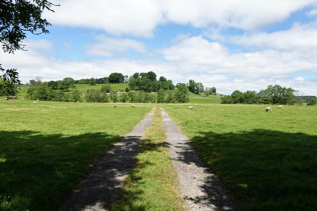
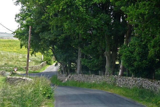
Delph Plantation, located in Yorkshire, is a picturesque woodland area renowned for its natural beauty and historical significance. Spanning over a vast expanse, the plantation is characterized by its lush greenery, towering trees, and diverse wildlife.
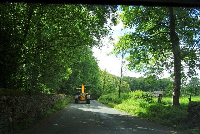
The plantation is situated in the heart of Yorkshire's woodlands, making it a popular destination for nature enthusiasts and hikers. Walking trails meander through the forest, allowing visitors to explore its hidden treasures and soak in the tranquility of the surroundings. The plantation is especially renowned for its vibrant autumn foliage, attracting photographers and sightseers alike.
Delph Plantation also holds historical significance, dating back several centuries. It is believed that the land was once used for charcoal production during the medieval period, and remnants of the charcoal pits can still be found within the plantation. The area also served as a source of timber for the construction of nearby villages and towns.
In recent years, Delph Plantation has been the focus of conservation efforts to preserve its unique ecosystem. The woodland provides a habitat for various species of birds, mammals, and insects, including red kites, deer, and butterflies. Visitors may encounter these creatures while exploring the trails, adding to the enchanting experience.
Overall, Delph Plantation in Yorkshire offers a harmonious blend of natural beauty and historical significance. Its lush woodlands, diverse wildlife, and rich history make it a must-visit destination for those seeking a serene and captivating outdoor experience.
If you have any feedback on the listing, please let us know in the comments section below.
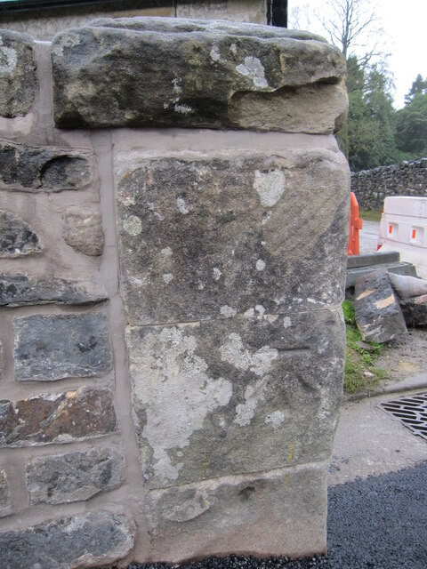
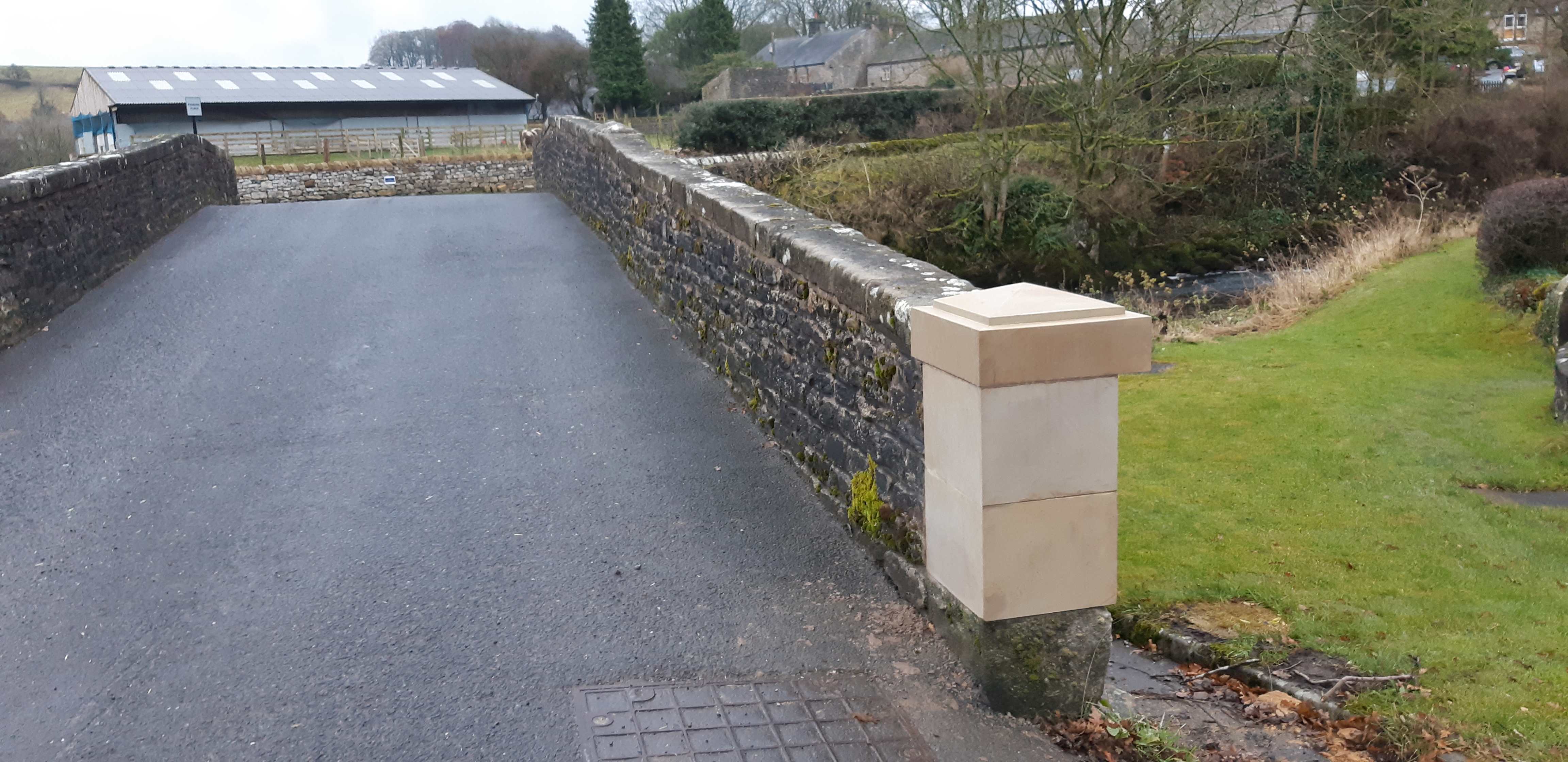
Delph Plantation Images
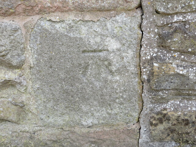
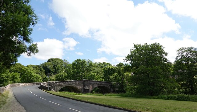
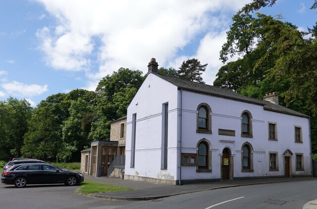
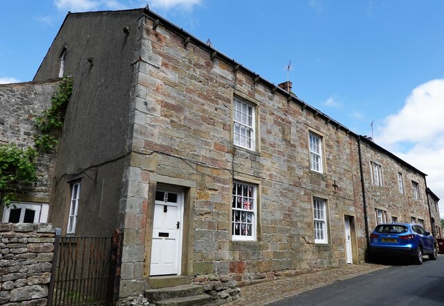
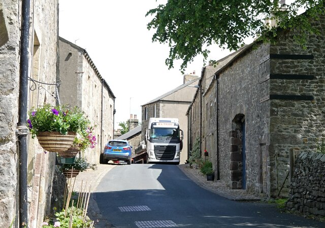
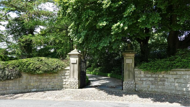
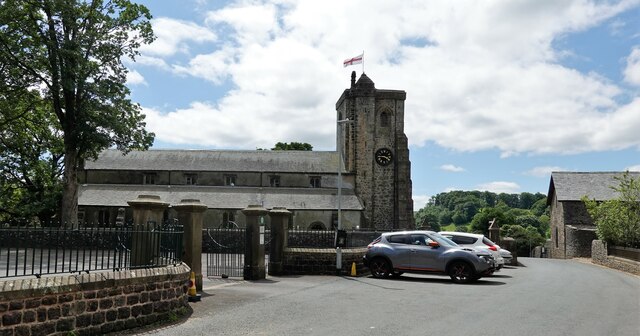
Images are sourced within 2km of 53.963461/-2.4355465 or Grid Reference SD7152. Thanks to Geograph Open Source API. All images are credited.

Delph Plantation is located at Grid Ref: SD7152 (Lat: 53.963461, Lng: -2.4355465)
Division: West Riding
Administrative County: Lancashire
District: Ribble Valley
Police Authority: Lancashire
What 3 Words
///makes.underline.glitz. Near Waddington, Lancashire
Nearby Locations
Related Wikis

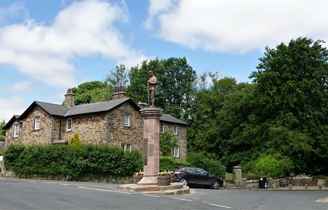
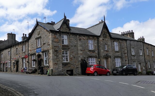
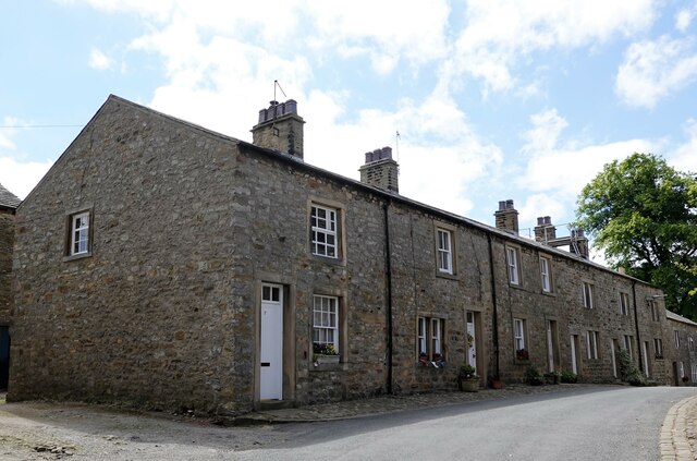
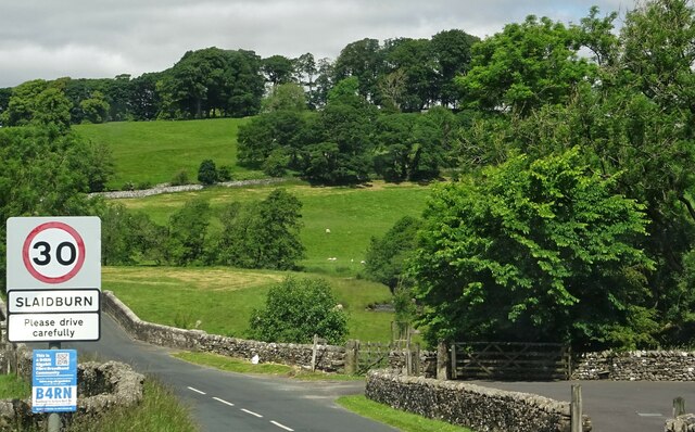
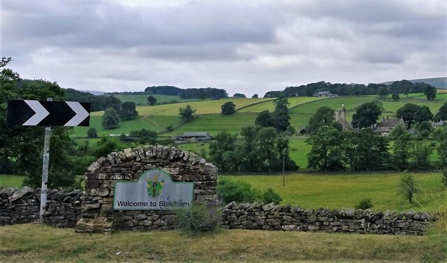
Slaidburn
Slaidburn () is a village and civil parish within the Ribble Valley district of Lancashire, England. The parish covers just over 5,000 acres of the Forest...

King's House, Slaidburn
King's House is a Grade II listed building in Slaidburn, Lancashire, England, now used as a youth hostel. It was originally built in the 18th century,...

Lancashire Witches Walk
The Lancashire Witches Walk is a 51-mile (82 km) long-distance footpath opened in 2012, between Barrowford and Lancaster, all in Lancashire, England. It...

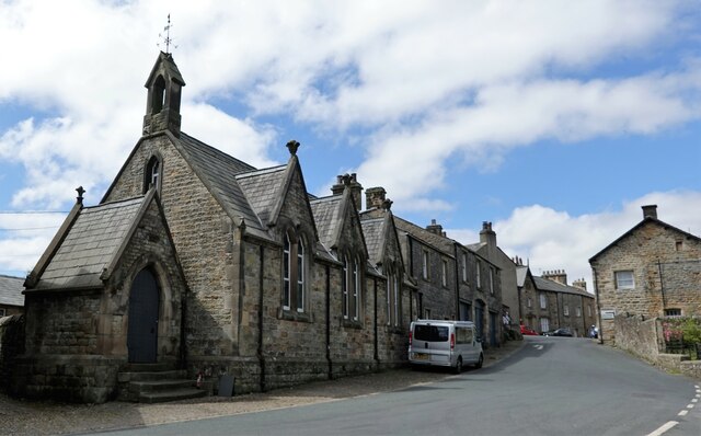
St Andrew's Church, Slaidburn
St Andrew's Church is in Church Street, Slaidburn, Lancashire, England. It is an active Anglican parish church in the deanery of Bowland, the archdeaconry...
Nearby Amenities
Located within 500m of 53.963461,-2.4355465Have you been to Delph Plantation?
Leave your review of Delph Plantation below (or comments, questions and feedback).