Cousland
Settlement in Midlothian
Scotland
Cousland
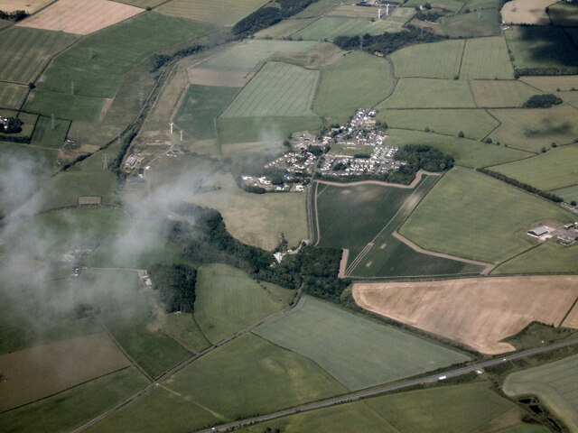
Cousland is a small village located in the county of Midlothian, in the southeastern part of Scotland. It is situated approximately 13 miles southeast of the capital city, Edinburgh. With a population of around 1,500 residents, the village maintains a close-knit and friendly community atmosphere.
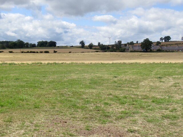
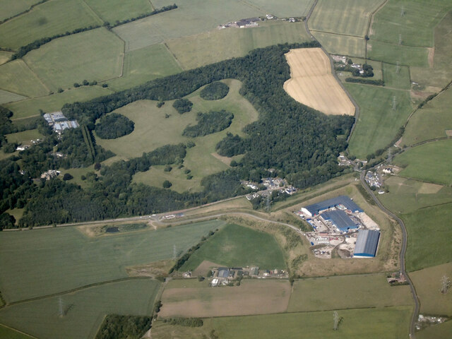
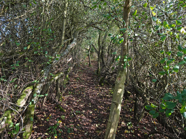
The village is surrounded by picturesque countryside, characterized by rolling hills, lush green fields, and scenic landscapes. It offers residents and visitors an abundance of opportunities for outdoor activities such as hiking, cycling, and walking. The nearby Cousland Woods and Dalkeith Country Park are popular destinations for nature lovers.
Cousland boasts a rich history, with evidence of human settlement dating back to prehistoric times. The village has several historical landmarks, including the Cousland Smiddy, a restored blacksmith's workshop that now serves as a museum, providing visitors with a glimpse into the area's industrial past.
In terms of amenities, Cousland has a village hall, a primary school, a post office, and a local convenience store that caters to the daily needs of residents. The village also has a strong sense of community spirit, with various social and recreational activities organized throughout the year.
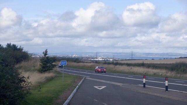
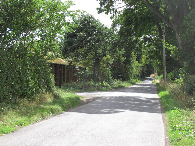
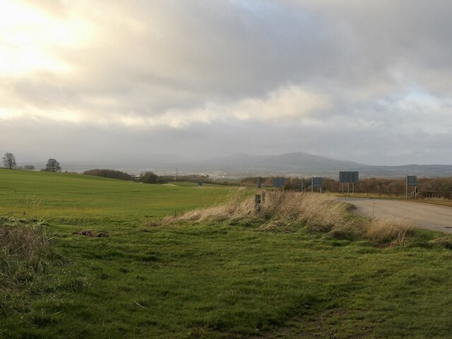
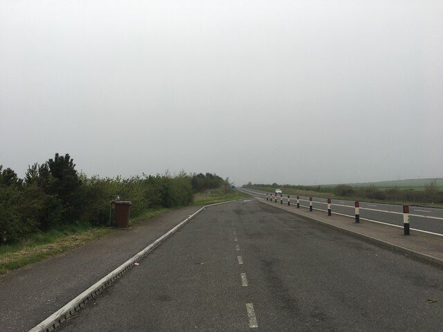
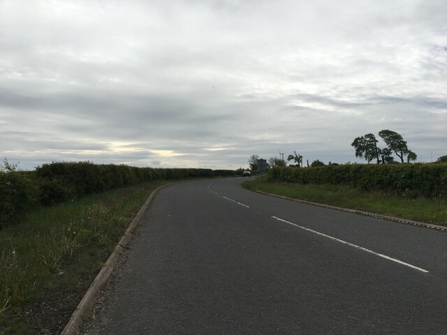
Transportation links to Cousland are convenient, with regular bus services connecting the village to neighboring towns and cities. The nearby A68 road provides easy access to Edinburgh and other major destinations in the region.
Overall, Cousland is a charming village that offers a peaceful and idyllic setting, making it an attractive place to live for those seeking a rural lifestyle within close proximity to urban amenities.
If you have any feedback on the listing, please let us know in the comments section below.
Cousland Images
Images are sourced within 2km of 55.903223/-2.997838 or Grid Reference NT3768. Thanks to Geograph Open Source API. All images are credited.


Cousland is located at Grid Ref: NT3768 (Lat: 55.903223, Lng: -2.997838)
Unitary Authority: Midlothian
Police Authority: The Lothians and Scottish Borders
What 3 Words
///perfumes.expect.windpipe. Near Whitecraig, East Lothian
Nearby Locations
Related Wikis

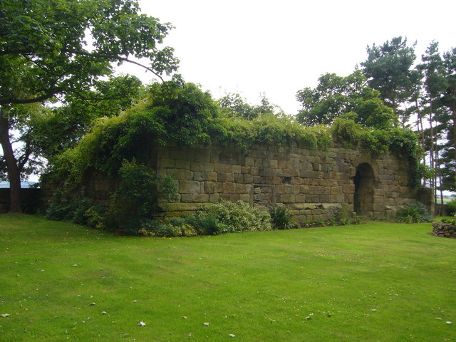
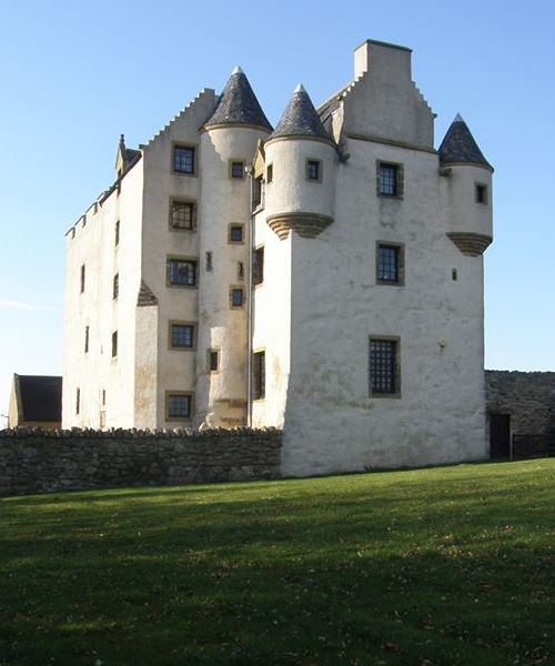
Cousland Castle
Cousland Castle is a ruined castle near the town of Cousland, Midlothian, Scotland. == Structure == The 16th century ruins of the tower house and enclosure...

Cousland
Cousland is a village in Midlothian, Scotland. It is located 4 kilometres (2.5 mi) east of Dalkeith and 3 kilometres (1.9 mi) west of Ormiston, on a hill...
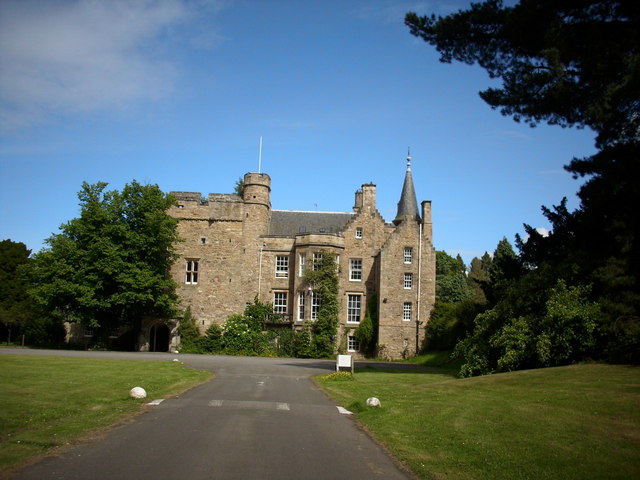
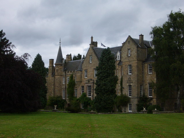
Carberry Tower
Carberry Tower is a historic house in East Lothian, Scotland. The house is situated off the A6124 road, 2 miles (3.2 km) south-east of Musselburgh. Carberry...
Elphinstone Tower (East Lothian)
Elphinstone Tower is a ruined 13th–15th century keep, about 4 miles (6.4 km) south east of Tranent, East Lothian, Scotland, and 0.5 miles (0.80 km) west...
Carberry, East Lothian
Carberry is a village in East Lothian, Scotland, United Kingdom is situated off the A6124 road, a mile east of Whitecraig, two miles south east of Musselburgh...

Smeaton railway station
Smeaton railway station served the village of Smeaton, south of Musselburgh in East Lothian, Scotland, from 1872 to 1930 on the Macmerry Branch. ��2�...
Fa'side Castle
Fa'side Castle (Faside Estate) has previously been known as Fawside, Falside, Ffauside, Fauxside, or Fawsyde and is a 15th-century keep located in East...

Cranston, Midlothian
Cranston is a parish of Midlothian, Scotland, lying 4+1⁄4 miles (6.8 kilometres) south-east of Dalkeith. It is bounded by the parishes of Inveresk and...
Nearby Amenities
Located within 500m of 55.903223,-2.997838Have you been to Cousland?
Leave your review of Cousland below (or comments, questions and feedback).