Chew Bank Wood

Wood, Forest in Lancashire Ribble Valley

England

Chew Bank Wood

Mobile Mast LAN0055 on Whalley Nab Delivering Freeview and mobile telephony services in Lancashire.
Mobile Mast LAN0055 on Whalley Nab Credit: Greum

Chew Bank Wood is a picturesque woodland located in the county of Lancashire in northwest England. Situated near the town of Bury, the wood covers an area of approximately 50 acres and is a popular destination for nature lovers and outdoor enthusiasts.

The wood is predominantly made up of native broadleaf trees, including oak, birch, and beech, which create a dense canopy and provide a habitat for a variety of wildlife. It is managed by the local council, ensuring the preservation of its natural beauty and ecological importance.

Chew Bank Wood offers visitors a tranquil escape from the hustle and bustle of urban life. There are several walking trails that wind through the wood, allowing visitors to explore its diverse flora and fauna. The paths are well-maintained and suitable for all levels of fitness, making it accessible to both casual strollers and more adventurous hikers.

In addition to its natural beauty, Chew Bank Wood also boasts a rich history. The wood was once part of a larger estate and is home to the remains of an old quarry, which can still be seen today. These historical features add an intriguing element to the woodland experience, offering visitors a glimpse into the area's past.

Overall, Chew Bank Wood is a charming and idyllic woodland retreat, offering visitors a chance to connect with nature and enjoy the tranquility of the Lancashire countryside. Whether it's a leisurely walk, birdwatching, or simply unwinding amidst the beauty of the wood, Chew Bank Wood has something to offer everyone.

If you have any feedback on the listing, please let us know in the comments section below.

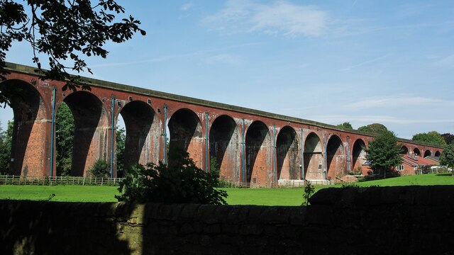
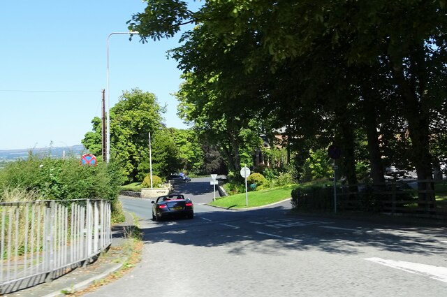
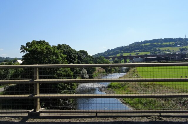
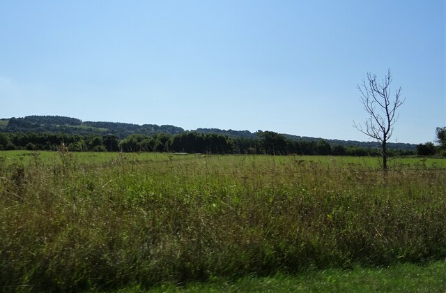
Chew Bank Wood Images

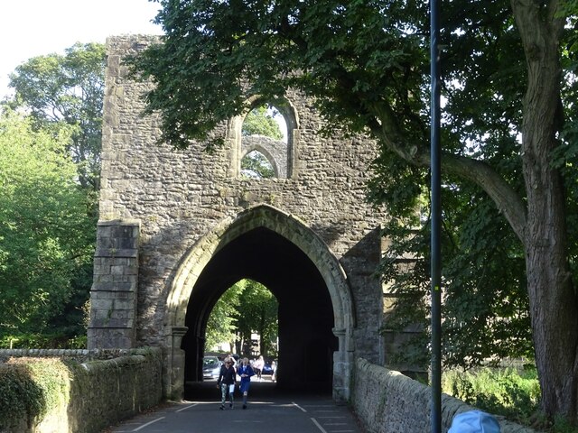
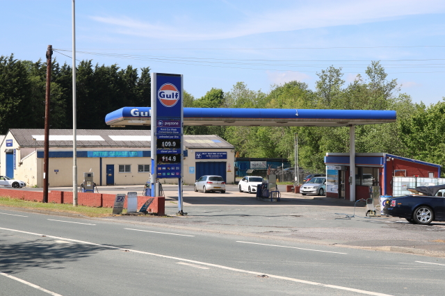
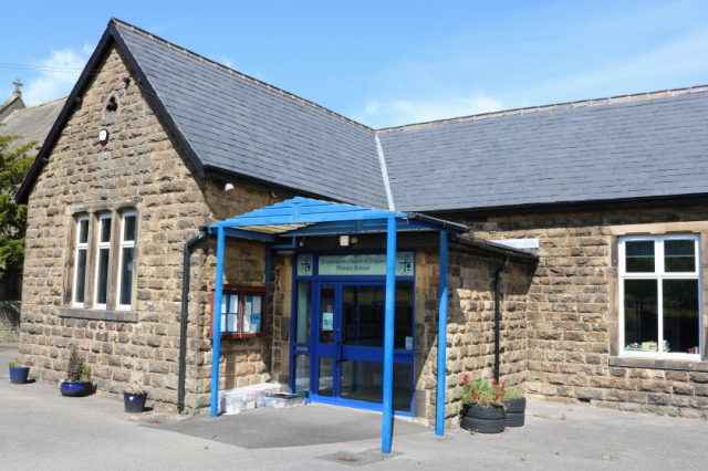
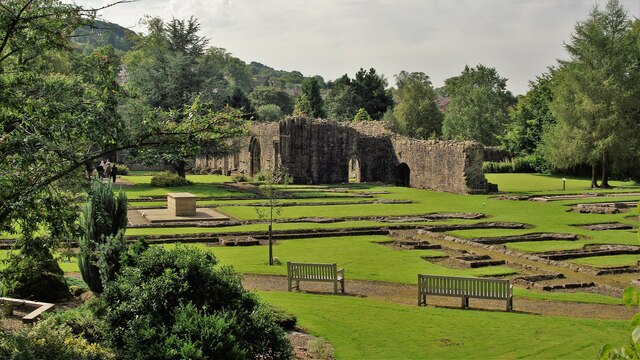
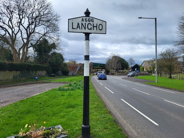
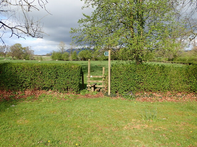
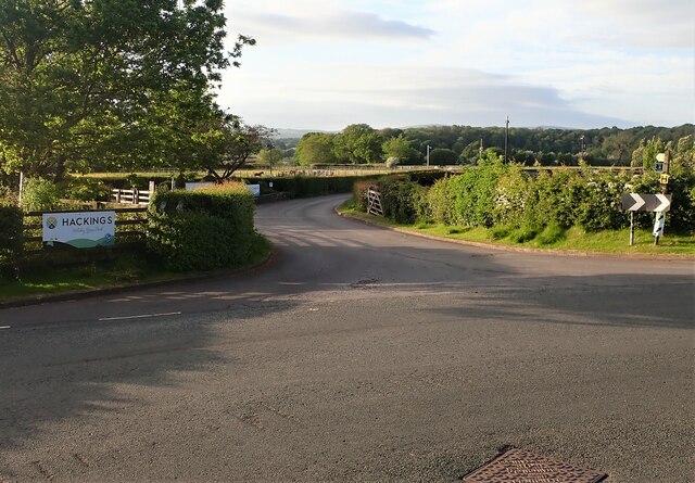
Images are sourced within 2km of 53.820981/-2.4392466 or Grid Reference SD7136. Thanks to Geograph Open Source API. All images are credited.

Mobile Mast LAN0055 on Whalley Nab Delivering Freeview and mobile telephony services in Lancashire.
Mobile Mast LAN0055 on Whalley Nab
Delivering Freeview and mobile telephony services in Lancashire.
Ebenezer Baptist Church, Billington
Whalley Viaduct and Whalley Abbey
Old Sol's Bridge Old Sol's Bridge crosses the River Calder adjacent to Whalley Viaduct.
Old Sol's Bridge
Old Sol's Bridge crosses the River Calder adjacent to Whalley Viaduct.
Decorative arch, Whalley Viaduct One of two infilled arches on Whalley Viaduct, the architect Terrence Wolfe Flanagan commemorating Whalley Abbey with the Gothic motifs.
Decorative arch, Whalley Viaduct
One of two infilled arches on Whalley Viaduct, the architect Terrence Wolfe Flanagan commemorating Whalley Abbey with the Gothic motifs.
Whalley Abbey Gateway
Petre Petrol Station and Garage Petrol Station, Car Wash and Garage
Petre Petrol Station and Garage
Petrol Station, Car Wash and Garage
St Leonard's C of E Primary School Main entrance - original building
St Leonard's C of E Primary School
Main entrance - original building
Clitheroe to Rochdale service (150004)
Whalley Abbey Remains The east range of the cloisters with the reconstituted High Altar within the church foundations to the left in the view
Whalley Abbey Remains
The east range of the cloisters with the reconstituted High Altar within the church foundations to the left in the view
Whalley Railway Viaduct Viaduct north of the Abbey Gatehouse
Whalley Railway Viaduct
Viaduct north of the Abbey Gatehouse
Northcote Road At its junction with the A59.
Northcote Road
At its junction with the A59.
River Calder from A59 Whalley Viaduct is in the background.
River Calder from A59
Whalley Viaduct is in the background.
Farmland off the A59 Near Billington.
Farmland off the A59
Near Billington.
Village Signpost on the A666 in Langho Located on the east side of the A666 south of its junction with Whalley Road in Billington and Langho parish. 

Milestone Society National ID: LA_SD7034V
Village Signpost on the A666 in Langho
Located on the east side of the A666 south of its junction with Whalley Road in Billington and Langho parish. Milestone Society National ID: LA_SD7034V
Building off Moor Lane Entrance to Buildings at Miles Hill off Moor Lane.
Building off Moor Lane
Entrance to Buildings at Miles Hill off Moor Lane.
Footpath from Larkhill Cottages The stile for the footpath at Larkhill Cottages leading across the fields towards Hacking Hall.
Footpath from Larkhill Cottages
The stile for the footpath at Larkhill Cottages leading across the fields towards Hacking Hall.
Entrance Hackings Holiday Park The entrance for Hackings Holiday Home Park at the junction of Old Langho Road and Pashmire Brow.
Entrance Hackings Holiday Park
The entrance for Hackings Holiday Home Park at the junction of Old Langho Road and Pashmire Brow.
Show me another place!

Chew Bank Wood is located at Grid Ref: SD7136 (Lat: 53.820981, Lng: -2.4392466)

Administrative County: Lancashire

District: Ribble Valley

Police Authority: Lancashire

What 3 Words

///forces.editor.meanders. Near Billington, Lancashire

Nearby Locations

Chew Bank Wood

Related Wikis

Hacking Hall

Hacking Hall is a Grade I listed, early-17th-century house situated at the confluence of the rivers Calder and Ribble in Lancashire, England. It is thought...

St Augustine's Roman Catholic High School, Billington

St Augustine's RC High School is a coeducational Roman Catholic secondary school located in Billington, Lancashire, England. == History == The school opened...

Brockhall Village

Brockhall Village is a gated community in the Ribble Valley, Lancashire, England. The village is in the civil parish of Billington and Langho and is 7...

Old St Leonard's Church, Langho

Old St Leonard's Church is a redundant Anglican church 1 mile (1.6 km) northwest of the village of Langho, Lancashire, England. It is recorded in the...

Nearby Amenities

Located within 500m of 53.820981,-2.4392466
Barrier: stile
Lat/Long: 53.8253543/-2.4396294
Power: pole
Lat/Long: 53.8237011/-2.4383662
Power: pole
Lat/Long: 53.8237495/-2.4441817
Power: pole
Lat/Long: 53.8237383/-2.4428306
Power: pole
Lat/Long: 53.8237261/-2.4413717
Power: pole
Lat/Long: 53.8237129/-2.4397819
Power: pole
Lat/Long: 53.8236919/-2.4370806
Power: pole
Lat/Long: 53.8222639/-2.4339154
Power: pole
Lat/Long: 53.8220089/-2.4326669
Barrier: cattle_grid
Lat/Long: 53.8222868/-2.4340769
Power: pole
Lat/Long: 53.8226817/-2.4348414
Power: pole
Lat/Long: 53.8232043/-2.4359999
Power: pole
Lat/Long: 53.8253416/-2.4374711
Power: pole
Lat/Long: 53.8245126/-2.4379234
Power: pole
Lat/Long: 53.8253252/-2.4407628
Power: pole
Lat/Long: 53.8245515/-2.4410574
The data included in this document is from www.openstreetmap.org. The data is made available under ODbL.

Have you been to Chew Bank Wood?

Leave your review of Chew Bank Wood below (or comments, questions and feedback).