Big Wood
Wood, Forest in Herefordshire
England
Big Wood
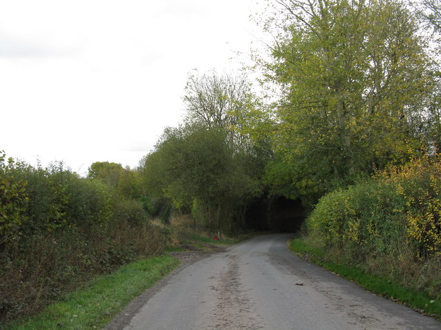
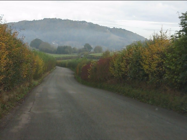
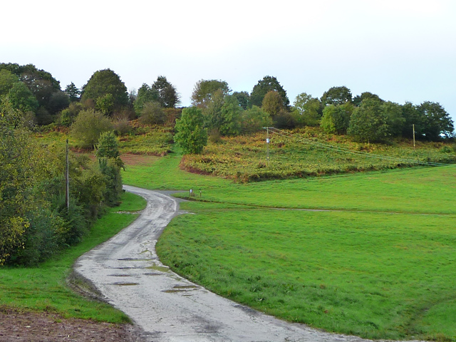
Big Wood is a sprawling forest located in the scenic county of Herefordshire, England. Covering an impressive area of approximately 1,500 acres, it is renowned for its abundant natural beauty and diverse wildlife. The wood is predominantly composed of broadleaf trees, including oak, beech, and ash, which create a dense and enchanting canopy.
The forest is a haven for nature enthusiasts and is home to a wide variety of flora and fauna. The forest floor boasts a colorful array of wildflowers, including bluebells and primroses, which bloom in the spring, adding to the wood's charm. Moreover, Big Wood provides a protected habitat for many species of birds, such as woodpeckers, owls, and various songbirds, making it an ideal destination for birdwatchers.
Visitors to Big Wood can enjoy a range of outdoor activities, including hiking, cycling, and horseback riding. The forest is crisscrossed with well-maintained trails that wind through the towering trees, offering breathtaking views and opportunities for exploration. Additionally, there are designated picnic areas where visitors can relax and soak in the tranquil atmosphere.
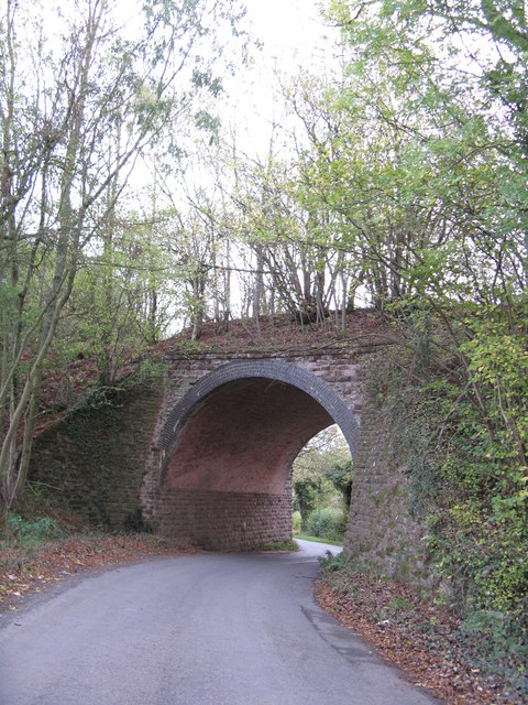
Big Wood also holds historical significance, with evidence of human presence dating back to ancient times. The wood was once a source of timber for local communities, and remnants of old saw pits and charcoal hearths can still be found scattered throughout the forest.
Overall, Big Wood in Herefordshire is a captivating destination that combines natural beauty, wildlife, and a rich history. Whether it's a leisurely stroll, an outdoor adventure, or simply a peaceful escape into nature, this enchanting forest offers something for everyone.
If you have any feedback on the listing, please let us know in the comments section below.
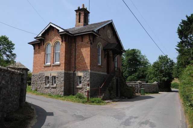
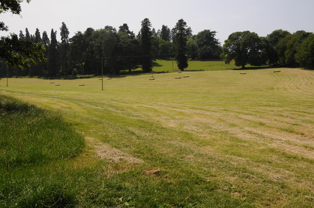
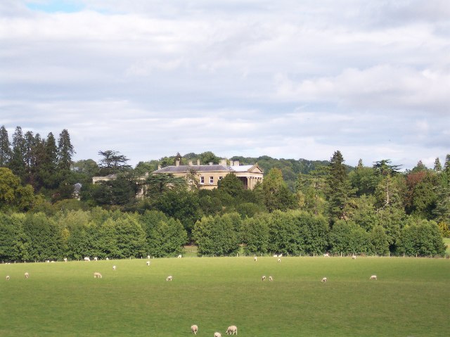
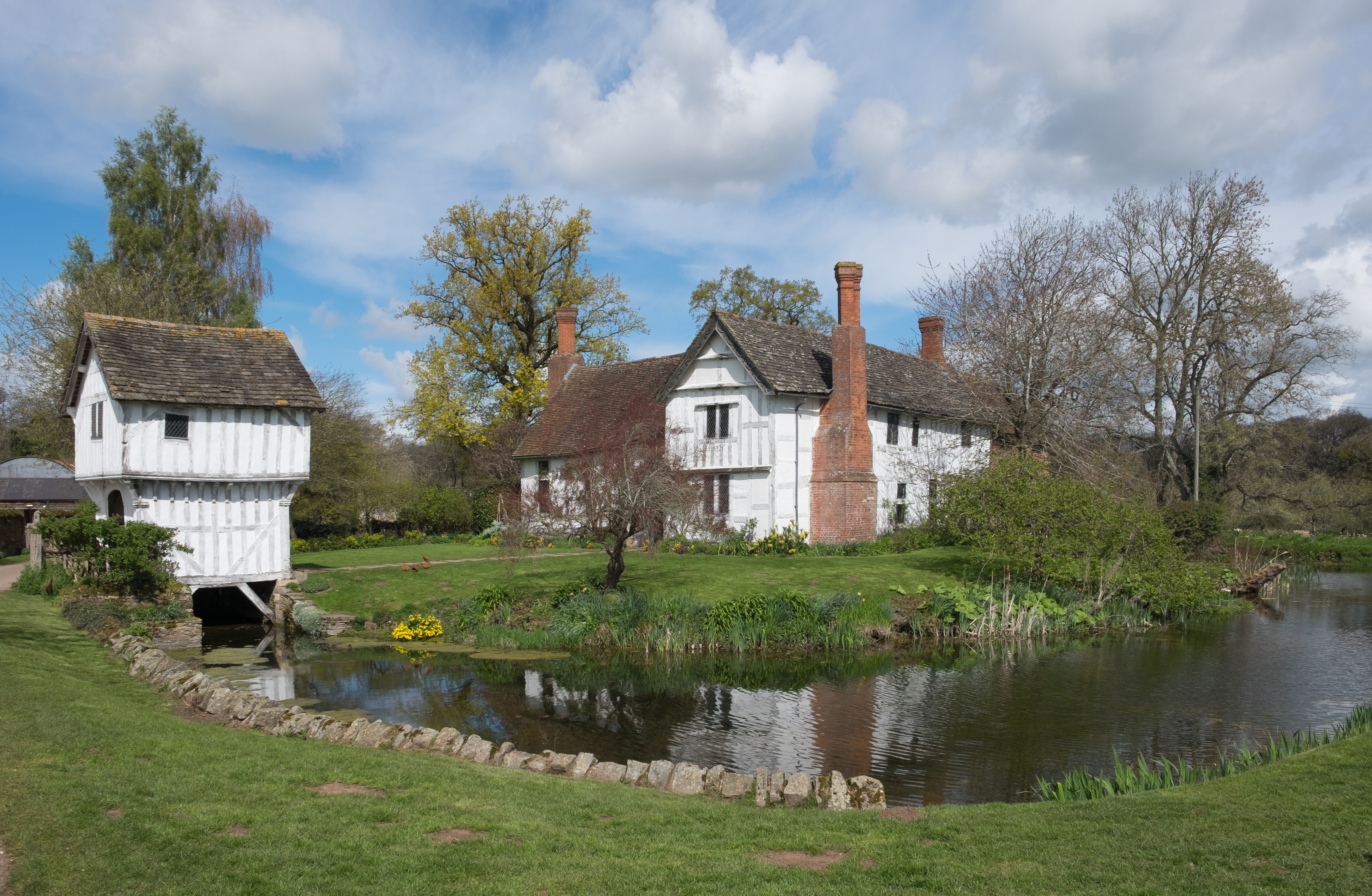
Big Wood Images
Images are sourced within 2km of 52.196604/-2.4235462 or Grid Reference SO7155. Thanks to Geograph Open Source API. All images are credited.


Big Wood is located at Grid Ref: SO7155 (Lat: 52.196604, Lng: -2.4235462)
Unitary Authority: County of Herefordshire
Police Authority: West Mercia
What 3 Words
///gulped.primary.forklift. Near Bromyard, Herefordshire
Nearby Locations
Related Wikis

Bringsty Common
Bringsty Common is a scattered settlement and 220 acres (89 ha) of common land in Herefordshire, England, spanning the A44. It lies close to the Worcestershire...
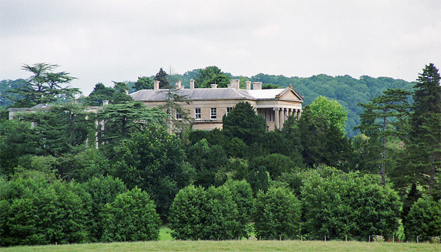
Whitbourne Hall
Whitbourne Hall is a Grade II* listed Greek Revival country house located in the village of Whitbourne in Herefordshire (near the Worcestershire border...

Whitbourne, Herefordshire
Whitbourne (Anglo-Saxon for "white stream") is a village in Eastern Herefordshire, England on the banks of the River Teme and close to the A44. It is close...
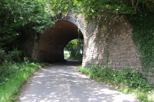
Suckley railway station
Suckley railway station was a station in Suckley, Worcestershire, England. The station was opened on 1 March 1878 and closed on 7 September 1964. ��2...

Knightwick
Knightwick is a small village and civil parish (with Doddenham) in the Malvern Hills district in the county of Worcestershire, England. == History... ==
Yearsett railway station
Yearsett railway station was a station to the southeast of Brockhampton, Herefordshire, England. The station was opened on 2 May 1874 as a temporary terminus...
Brockhampton Estate
The Brockhampton Estate is a National Trust property in Herefordshire, England, and is to the north of the A44 Bromyard to Worcester road, opposite the...
Osebury Rock
Osebury Rock (also known as Oseberrow or Rosebury) is a cliff on the River Teme near Lulsley in Worcestershire, England where fragmentary rocks of the...
Nearby Amenities
Located within 500m of 52.196604,-2.4235462Have you been to Big Wood?
Leave your review of Big Wood below (or comments, questions and feedback).