Brickkiln Coppice
Wood, Forest in Shropshire
England
Brickkiln Coppice

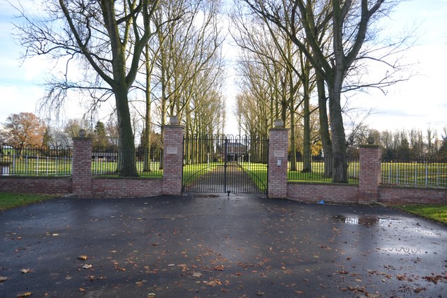
Brickkiln Coppice is a picturesque woodland located in the county of Shropshire, England. This enchanting forest covers an area of approximately 50 hectares and is a popular destination for nature lovers and outdoor enthusiasts.
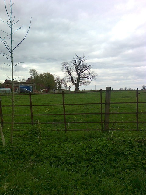
The coppice is predominantly composed of mature broadleaf trees, including oak, beech, and ash, which create a dense canopy, providing a habitat for a wide variety of flora and fauna. The forest floor is adorned with a rich carpet of bluebells and wildflowers during the spring months, adding to the area's natural charm.
Visitors to Brickkiln Coppice can enjoy a network of well-maintained walking trails that crisscross through the woodland. These trails offer a chance to explore the diverse ecosystem while taking in the serene beauty of the surroundings. The forest also boasts a small picnic area, allowing visitors to relax and enjoy a packed lunch amidst the tranquility of nature.
The coppice is home to a range of wildlife, including deer, badgers, foxes, and numerous bird species. Birdwatchers will be delighted by the opportunity to spot woodland birds such as nuthatches, woodpeckers, and tawny owls.
Brickkiln Coppice is managed by the local conservation authority, which ensures the preservation and protection of this valuable woodland. Regular maintenance work takes place to manage invasive species and promote the growth of native flora.
Overall, Brickkiln Coppice offers a peaceful and idyllic setting for nature enthusiasts and provides a wonderful opportunity to connect with the natural world in a serene and tranquil environment.
If you have any feedback on the listing, please let us know in the comments section below.
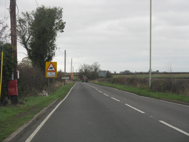
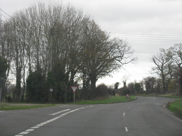
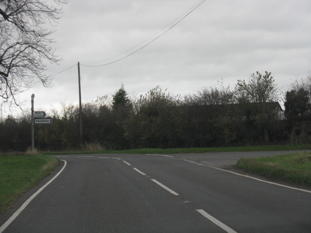
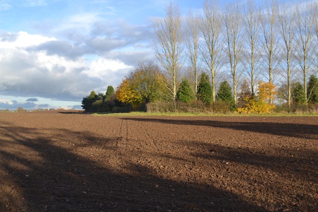
Brickkiln Coppice Images
Images are sourced within 2km of 52.622602/-2.4284761 or Grid Reference SJ7102. Thanks to Geograph Open Source API. All images are credited.


Brickkiln Coppice is located at Grid Ref: SJ7102 (Lat: 52.622602, Lng: -2.4284761)
Unitary Authority: Shropshire
Police Authority: West Mercia
What 3 Words
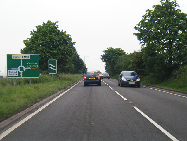
///readjust.late.calibrate. Near Madeley, Shropshire
Nearby Locations
Related Wikis

Coalport East railway station
Coalport East was a London and North Western Railway station at Coalport, situated on the north bank of the River Severn. It formed the terminus of the...
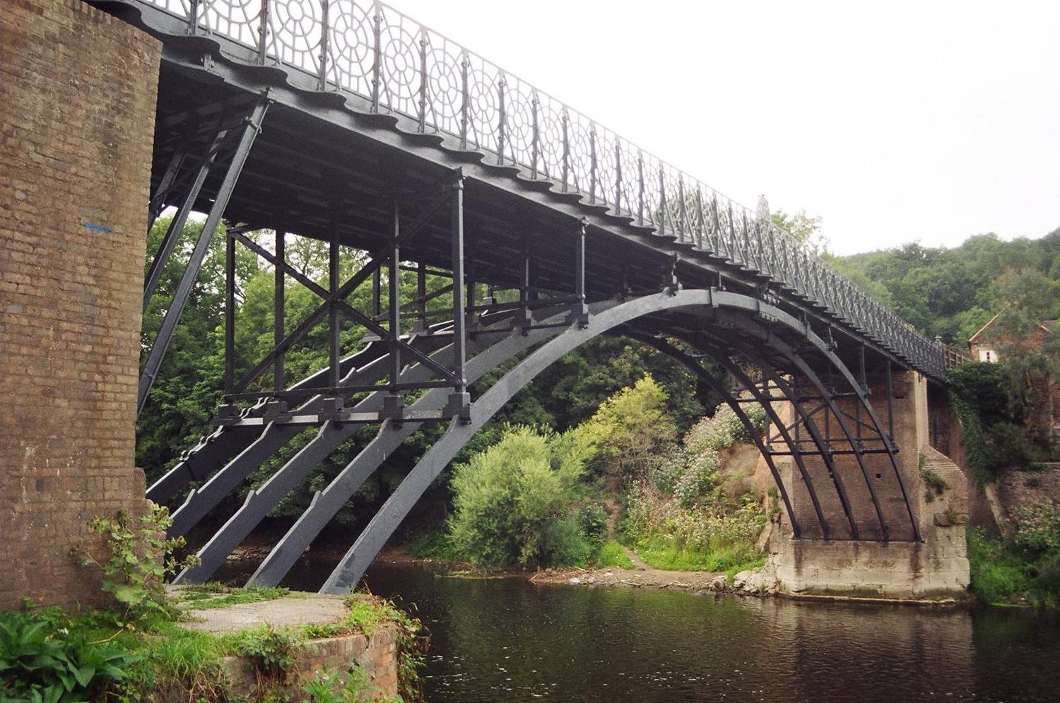
Coalport Bridge
Coalport Bridge is a cast iron arch bridge between Coalport and Preens Eddy in Shropshire, England. == Early bridge == Architect and bridge-builder William...

Coalport West railway station
The GWR Coalport railway station, active 1862–1963, was originally built as a single through platform railway station on the Severn Valley Line serving...

Coalport
Coalport is a village in Shropshire, England. It is located on the River Severn in the Ironbridge Gorge, a mile downstream of Ironbridge. It lies predominantly...
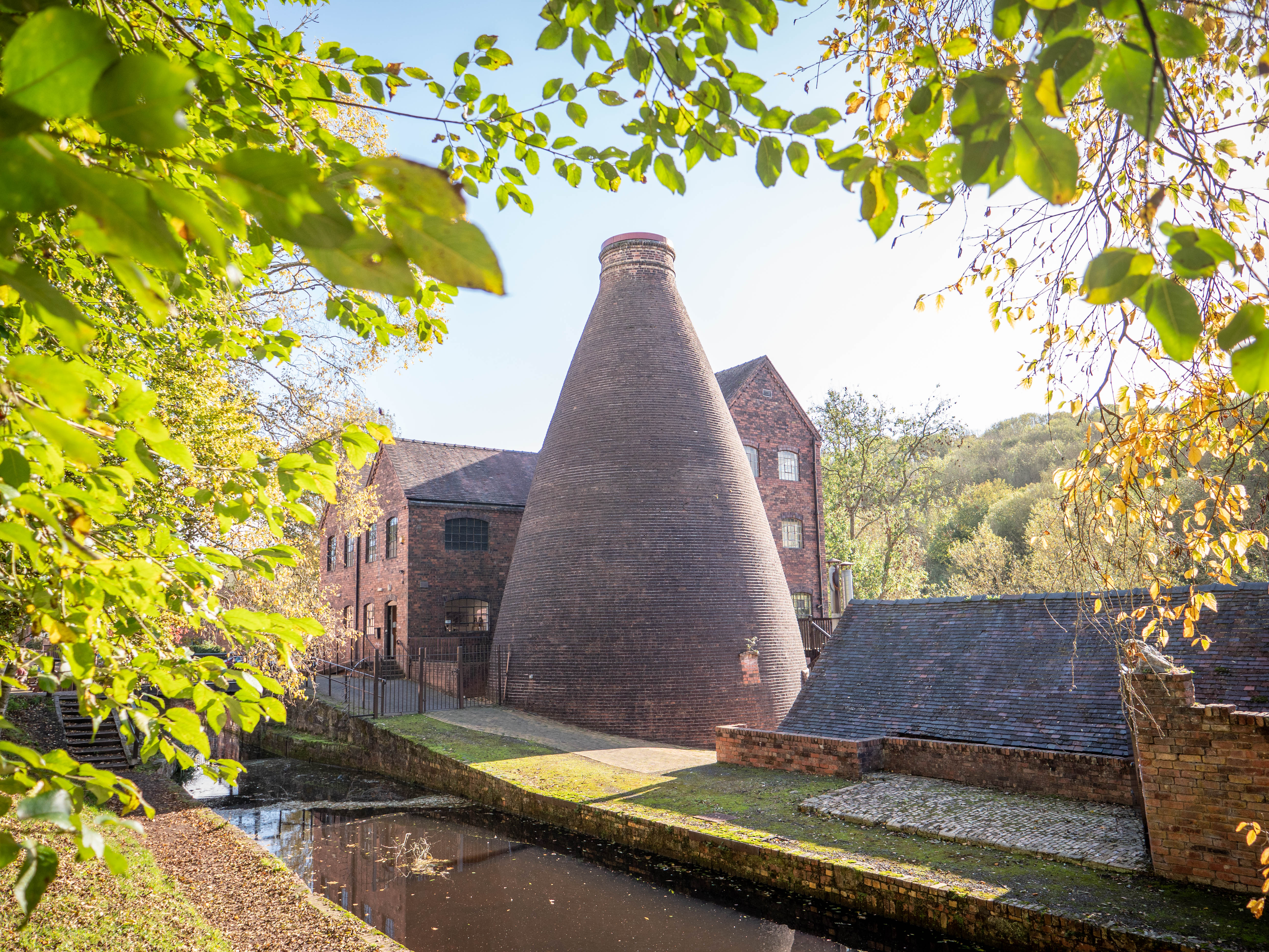
Coalport China Museum
The Coalport China Museum is one of the ten Ironbridge Gorge Museums administered by the Ironbridge Gorge Museum Trust. The museum is based in the village...

Hay Inclined Plane
The Hay Inclined Plane is a canal inclined plane in the Ironbridge Gorge in Shropshire, with a height of 207 feet (63 m). It was located at the end of...

Tar Tunnel
The Tar Tunnel is an abandoned tunnel located on the north bank of the River Severn in the Ironbridge Gorge at Coalport, England. It is one of ten Ironbridge...

The Werps
The lost village of Werps was one of a group of small settlements which later became collectively known as Jackfield in the Broseley Parish in Shropshire...
Nearby Amenities
Located within 500m of 52.622602,-2.4284761Have you been to Brickkiln Coppice?
Leave your review of Brickkiln Coppice below (or comments, questions and feedback).