Courtsend
Settlement in Essex Rochford
England
Courtsend
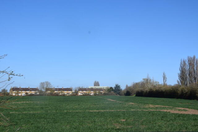
Courtsend is a charming village located in the county of Essex, England. Situated amidst picturesque countryside, it is known for its tranquil and idyllic setting. With a population of around 500 residents, Courtsend embodies the essence of a close-knit community.
The village is characterized by its traditional English architecture, with rows of quaint cottages and well-preserved historical buildings. The centerpiece of Courtsend is the St. Mary's Church, a stunning medieval structure that dates back to the 12th century. The church not only serves as a place of worship but also acts as a gathering point for various community events.
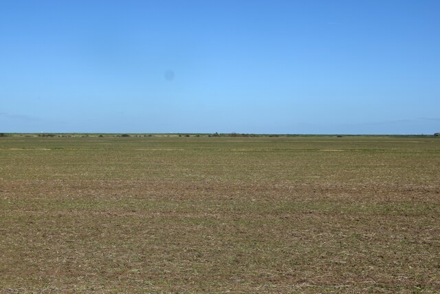
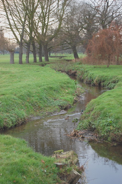
Surrounded by lush green fields and meandering rivers, Courtsend offers ample opportunities for outdoor activities. Residents and visitors can explore the numerous walking trails that crisscross the countryside, providing stunning views of the surrounding landscapes. The village is also home to a well-maintained cricket pitch, where locals often gather for friendly matches during the summer months.
The community in Courtsend is known for its strong sense of togetherness and camaraderie. Regular social events, such as village fairs and summer festivals, bring people of all ages together to celebrate and foster a sense of unity. Additionally, Courtsend boasts a primary school, a village hall, and a small selection of local businesses, ensuring that essential amenities are readily available.
Overall, Courtsend is a peaceful and picturesque village that offers a serene escape from the hustle and bustle of urban life. With its charming architecture, natural beauty, and vibrant community spirit, it is a place that truly captures the essence of rural England.
If you have any feedback on the listing, please let us know in the comments section below.
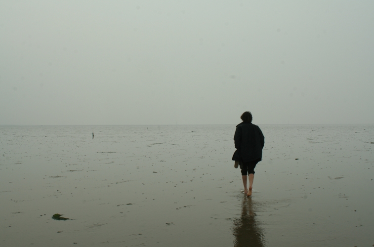
Courtsend Images
Images are sourced within 2km of 51.605532/0.924386 or Grid Reference TR0293. Thanks to Geograph Open Source API. All images are credited.


Courtsend is located at Grid Ref: TR0293 (Lat: 51.605532, Lng: 0.924386)
Administrative County: Essex
District: Rochford
Police Authority: Essex
What 3 Words
///stopwatch.quick.weeds. Near Burnham-on-Crouch, Essex
Nearby Locations
Related Wikis

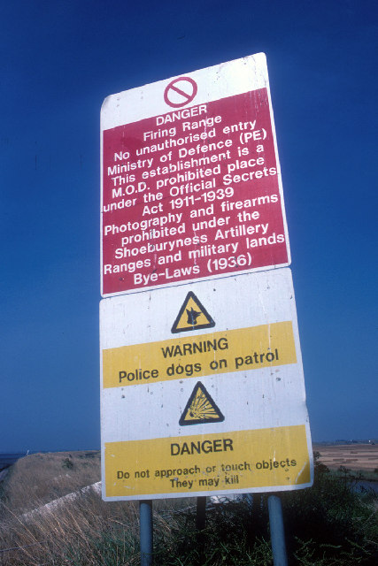
Foulness Island
Foulness Island () is a closed island on the east coast of Essex in England, which is separated from the mainland by narrow creeks. In the 2001 census...

Saint Mary the Virgin, Foulness Island
Saint Mary the Virgin is a parish of the Church of England on Foulness Island, in Essex, England. Before the 15th century, the island of Foulness was divided...

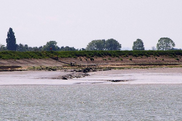
River Crouch
The River Crouch is a small river that flows entirely through the English county of Essex. The distance of the Navigation between Holliwell Point which...
Foulness SSSI
Foulness SSSI is a 10,702 hectare biological Site of Special Scientific Interest covering the shoreline between Southend-on-Sea and the Crouch estuary...
River Roach
The River Roach is a river that flows entirely through the English county of Essex. It is one of four main streams that originate in the Rayleigh Hills...

Wallasea Wetlands
Wallasea Wetlands is a reclaimed wetlands area located in Essex, England. It has been created as part of a government-funded wetlands scheme to halt the...
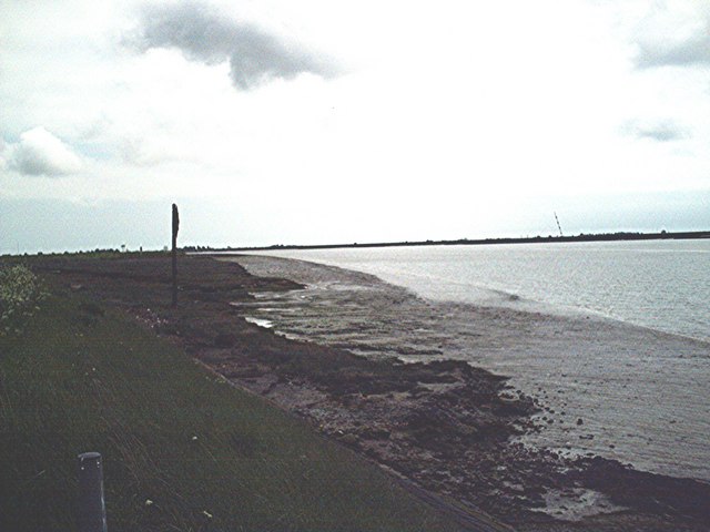
Maplin Sands
The Maplin Sands are mudflats on the northern bank of the Thames estuary, off Foulness Island, near Southend-on-Sea in Essex, England, though they actually...

New England Island
New England Island is an uninhabited island in Essex, England. One road crosses the island, connecting it with bridges to Foulness and to the mainland...
Related Videos


Episode 057: The Great Flood Of 1953
Residents along the Essex coast awoke in the early hours of 1st February 1953 to a storm surge sweeping across the land.

The Broomway. A tidal byway over Foulness sands.
This is an unedited video of us riding The Broomway, a right of way across Foulness Sand off the Essex coast. It has a reputation ...
Nearby Amenities
Located within 500m of 51.605532,0.924386Have you been to Courtsend?
Leave your review of Courtsend below (or comments, questions and feedback).