Court-at-Street

Settlement in Kent Shepway

England

Court-at-Street

Field of cereal crops, east of Bonnington, Kent
Field of cereal crops, east of Bonnington, Kent Credit: nick macneill

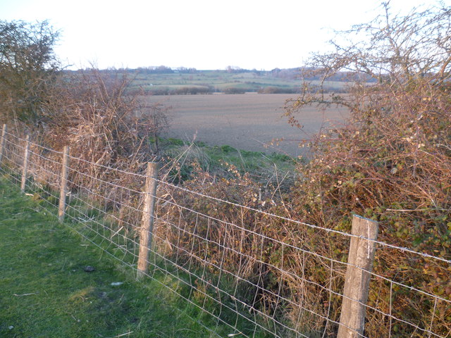
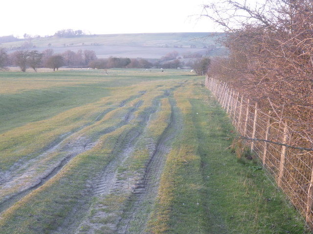
Court-at-Street is a small village located in the county of Kent, England. Situated approximately 5 miles southwest of the historic town of Canterbury, it falls within the administrative district of Canterbury City Council. The village is nestled amidst the picturesque Kentish countryside, surrounded by rolling hills, lush green fields, and charming rural landscapes.

Court-at-Street is a quintessentially English village, with a population of around 500 residents. It is renowned for its tranquil atmosphere and traditional village charm, making it an appealing destination for those seeking an idyllic countryside retreat. The village primarily consists of residential properties, including a mix of traditional cottages and more modern houses.

Despite its small size, Court-at-Street benefits from a range of amenities to cater to the needs of its residents. These include a local pub, offering a warm and friendly atmosphere, and a village hall that hosts various community events throughout the year. Additionally, the nearby town of Canterbury provides a wider range of services, including shops, schools, and healthcare facilities.

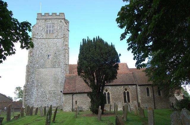
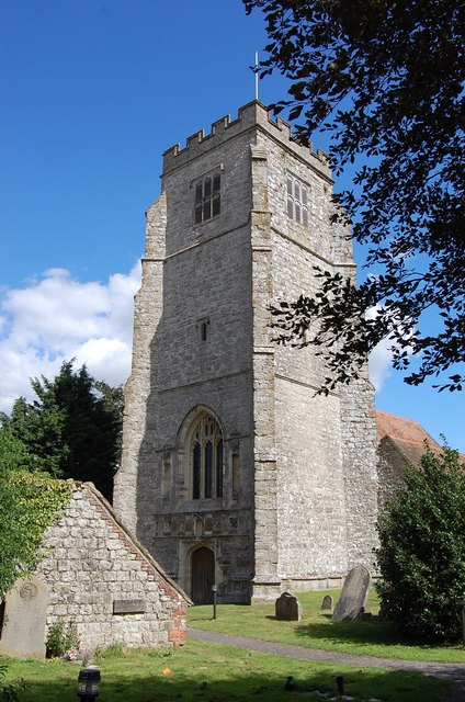
Court-at-Street boasts a rich history, with several historical landmarks within its vicinity. The nearby Court-at-Street Manor, a Grade II listed building, adds to the village's charm and provides a glimpse into its past. The surrounding countryside offers ample opportunities for outdoor activities, such as walking, cycling, and exploring the scenic beauty of the area.

Overall, Court-at-Street is a quaint and peaceful village, offering a tranquil escape from the hustle and bustle of city life. Its picturesque surroundings and close proximity to Canterbury make it an attractive place to reside for those seeking a rural lifestyle with easy access to urban amenities.

If you have any feedback on the listing, please let us know in the comments section below.

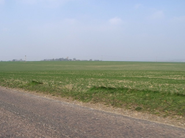
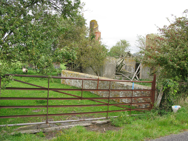
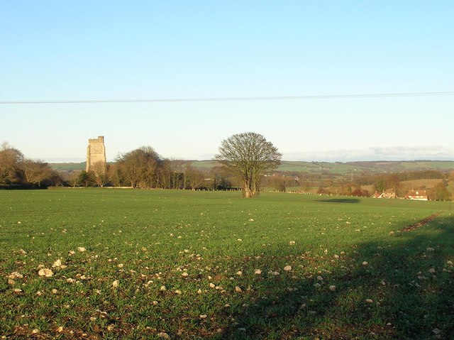
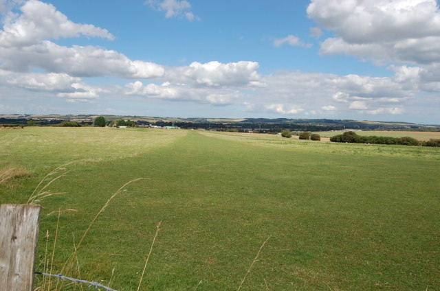
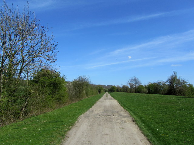
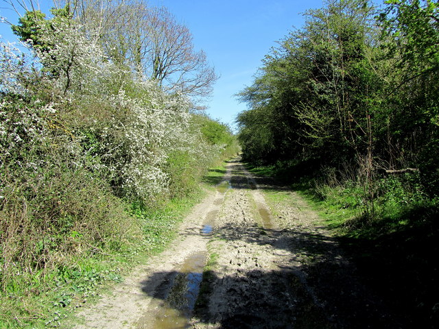
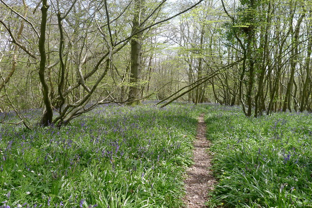
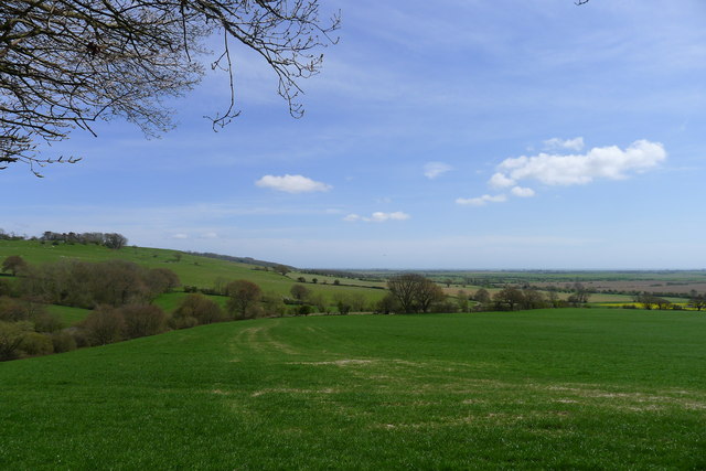
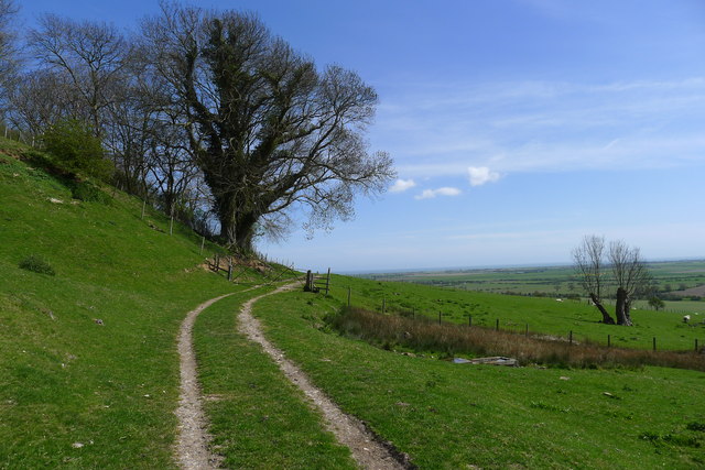
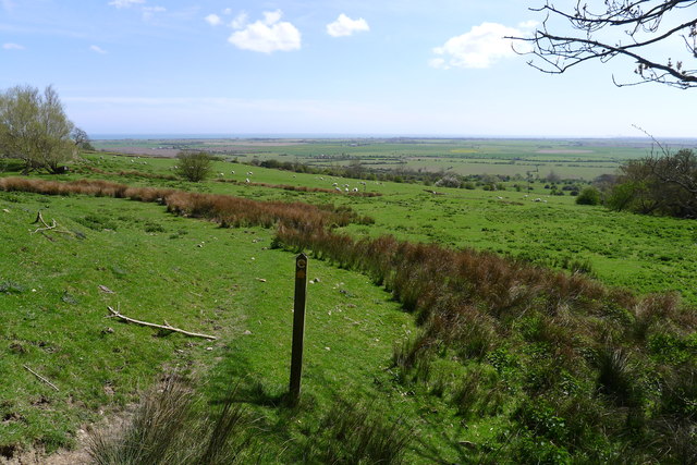
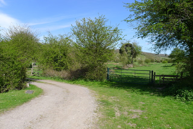
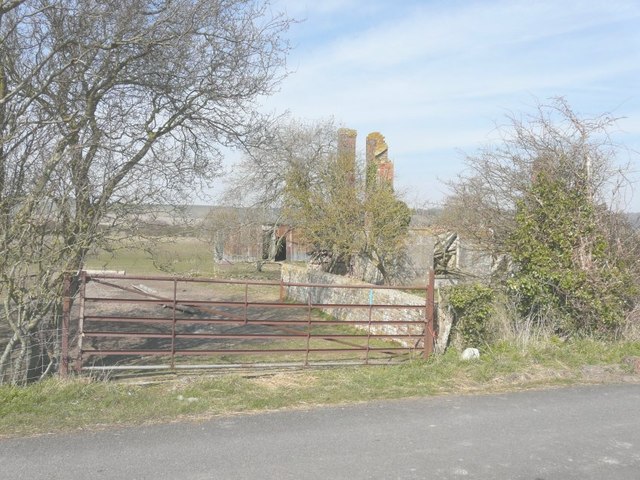
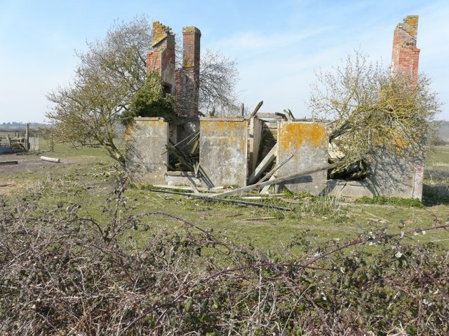
Court-at-Street Images

Images are sourced within 2km of 51.079553/0.98530556 or Grid Reference TR0935. Thanks to Geograph Open Source API. All images are credited.

Field of cereal crops, east of Bonnington, Kent
Ruins of Lower Wall House
Tree in a field near Aldington Looking north from Roman Road. In the background can be seen St. Martin's Church in <a href="https://www.geograph.org.uk/gridref/TR0736">TR0736</a>.
Tree in a field near Aldington
Looking north from Roman Road. In the background can be seen St. Martin's Church in TR0736.
Land off Harringe Lane It looks like a grass landing strip, as there is a distant windsock.
Land off Harringe Lane
It looks like a grass landing strip, as there is a distant windsock.
St Martin's church, Aldington Grade I listed.
A large church in a bizzarre farmyard setting. Dates from 11th C. onwards, but mostly 14-15th C. under the  patronage of the  Archbishop of Canterbury, whose Manor this was. 16th C. tower was originally separate and joined later. It was used as a beacon to seamen due to its height.
There is a medieval rood screen and stalls with misericords, and a pulpit with a Pelican-in-her-piety carving. Norman font. The organ is a single manual 1973 Mander.
Church was locked.
St Martin's church, Aldington
Grade I listed. A large church in a bizzarre farmyard setting. Dates from 11th C. onwards, but mostly 14-15th C. under the patronage of the Archbishop of Canterbury, whose Manor this was. 16th C. tower was originally separate and joined later. It was used as a beacon to seamen due to its height. There is a medieval rood screen and stalls with misericords, and a pulpit with a Pelican-in-her-piety carving. Norman font. The organ is a single manual 1973 Mander. Church was locked.
Church Tower, St Martin's Aldington See <a href="https://www.geograph.org.uk/photo/3100917">TR0736 : St Martin's church, Aldington</a>
Church Tower, St Martin's Aldington
Fence near Lower Wall Road Late evening sun just catches this fenceline. In the distance is the ridge beyond the Royal Military Canal with Port Lympne Zoo on the hillside.
Fence near Lower Wall Road
Late evening sun just catches this fenceline. In the distance is the ridge beyond the Royal Military Canal with Port Lympne Zoo on the hillside.
Late evening sun on Romney Marsh Late evening sun just catches this fenceline and the distant sheep. In the distance is the ridge beyond the Royal Military Canal
Late evening sun on Romney Marsh
Late evening sun just catches this fenceline and the distant sheep. In the distance is the ridge beyond the Royal Military Canal
Royal Military Canal Path The long distance footpath near Marwood Farm.
Royal Military Canal Path
The long distance footpath near Marwood Farm.
Rutted Track beside the Royal Military Canal Section of track beside the canal between Green Gigger Bridge and Aldergate Bridge, adopted by the Saxon Shore Way long distance footpath.
Rutted Track beside the Royal Military Canal
Section of track beside the canal between Green Gigger Bridge and Aldergate Bridge, adopted by the Saxon Shore Way long distance footpath.
Saxon Shore Way beside The Royal Military Canal Section of the Royal Military Canal between Green Gigger Bridge and Aldergate Bridge.
Saxon Shore Way beside The Royal Military Canal
Section of the Royal Military Canal between Green Gigger Bridge and Aldergate Bridge.
The Saxon Shore Way through bluebells in Curtis Wood
View along the Saxon Shore Way from the edge of Curtis Wood The Saxon Shore Way runs from this viewpoint up towards Dunk's Rough at the top right of the picture. It's easy to imagine that the flat area of Romney Marsh to the right was once the sea.
View along the Saxon Shore Way from the edge of Curtis Wood
The Saxon Shore Way runs from this viewpoint up towards Dunk's Rough at the top right of the picture. It's easy to imagine that the flat area of Romney Marsh to the right was once the sea.
The Saxon Shore way near Dunk's Rough The Way follows the escarpment for another half mile before turning sharp right and dropping down to the Royal Military Canal at the edge of Romney Marsh
The Saxon Shore way near Dunk's Rough
The Way follows the escarpment for another half mile before turning sharp right and dropping down to the Royal Military Canal at the edge of Romney Marsh
The Saxon Shore Way leading down to Romney Marsh The Way joins the Royal Military Canal at Honeypot Cottage
The Saxon Shore Way leading down to Romney Marsh
The Way joins the Royal Military Canal at Honeypot Cottage
The Saxon Shore Way joins the Royal Military Canal Path The Way has dropped down from the escarpment via the stile at the left, and continues straight ahead with the Path
The Saxon Shore Way joins the Royal Military Canal Path
The Way has dropped down from the escarpment via the stile at the left, and continues straight ahead with the Path
Lower Wall House A ruined building on Lower Wall Road.
Lower Wall House
A ruined building on Lower Wall Road.
The front of Lower Wall House A ruined building on Lower Wall Road.
The front of Lower Wall House
A ruined building on Lower Wall Road.
Show me another place!

Court-at-Street is located at Grid Ref: TR0935 (Lat: 51.079553, Lng: 0.98530556)

Administrative County: Kent

District: Shepway

Police Authority: Kent

What 3 Words

///lunges.flushes.defected. Near Lympne, Kent

Nearby Locations

Court-at-Street

Related Wikis

Port Lympne Wild Animal Park

Port Lympne Hotel & Reserve near the town of Hythe in Kent, England is set in 600 acres (2.4 km2) and incorporates the historic Port Lympne Mansion, and...

Port Lympne Mansion

Port Lympne, at Lympne, Kent is an early 20th-century country house built for Sir Philip Sassoon by Herbert Baker and Philip Tilden. Completed after the...

Lympne light aircraft trials

The Lympne Light Aircraft Trials were held to encourage the development of practical light aircraft for private ownership, with a strong but not exclusive...

Otterpool Quarry

Otterpool Quarry is a 10.2-hectare (25-acre) geological Site of Special Scientific Interest west of Hythe in Kent. It is a Geological Conservation Review...

Nearby Amenities

Located within 500m of 51.079553,0.98530556
Post Box
Postal Code: CT21
Ref: CT21 112
Lat/Long: 51.0798785/0.9832783
Barrier: stile
Material: wood
Stile: stepover
Lat/Long: 51.0789918/0.9803413
Power: pole
Lat/Long: 51.0823639/0.9801774
Power: pole
Lat/Long: 51.0814928/0.9794479
Power: pole
Lat/Long: 51.0797437/0.9800192
Power: pole
Lat/Long: 51.0807564/0.9792226
Power: pole
Lat/Long: 51.0770509/0.981186
Power: pole
Lat/Long: 51.0761443/0.9816178
Bus Stop
Harringe Lane
Local Ref: opp
Naptan AtcoCode: 240099452
Naptan Bearing: W
Naptan BusStopType: CUS
Naptan CommonName: Harringe Lane
Naptan Indicator: opp
Naptan Landmark: Harringe Lane
Naptan NaptanCode: kntgpjdg
Naptan RevisionNumber: 4
Naptan Status: act
Naptan Street: B2067 Knoll Hill
Naptan Verified: no
Public Transport: platform
Ref: kntgpjdg
Source: naptan_import
Source Date: 2018-06-26
Lat/Long: 51.0795139/0.9851317
Bus Stop
Harringe Lane
Local Ref: adj
Naptan AtcoCode: 240099450
Naptan Bearing: E
Naptan BusStopType: CUS
Naptan CommonName: Harringe Lane
Naptan Indicator: adj
Naptan Landmark: Harringe Lane
Naptan NaptanCode: kntgpjdm
Naptan RevisionNumber: 4
Naptan Status: act
Naptan Street: B2067 Knoll Hill
Naptan Verified: no
Public Transport: platform
Ref: kntgpjdm
Source: naptan_import
Source Date: 2018-06-26
Lat/Long: 51.0796281/0.985239
The data included in this document is from www.openstreetmap.org. The data is made available under ODbL.

Have you been to Court-at-Street?

Leave your review of Court-at-Street below (or comments, questions and feedback).