Little Dunnow Wood

Wood, Forest in Yorkshire Ribble Valley

England

Little Dunnow Wood

Ordnance Survey Cut Mark This mark can be found on the roadside wall of a dwelling, former farm building, at Robinson's Farm, Easington.
The benchmark has a recorded height of 141.0157 metres above sea level.
For more detail see : <span class="nowrap"><a title="https://www.bench-marks.org.uk/bm145767" rel="nofollow ugc noopener" href="https://www.bench-marks.org.uk/bm145767">Link</a><img style="margin-left:2px;" alt="External link" title="External link - shift click to open in new window" src="https://s1.geograph.org.uk/img/external.png" width="10" height="10"/></span>
Ordnance Survey Cut Mark Credit: Peter Wood

Little Dunnow Wood is a captivating forest located in the county of Yorkshire, England. Nestled amidst the picturesque countryside, this enchanting wood covers an area of approximately 40 acres. It is situated in close proximity to the village of Dunnow, lending its name to the woodland.

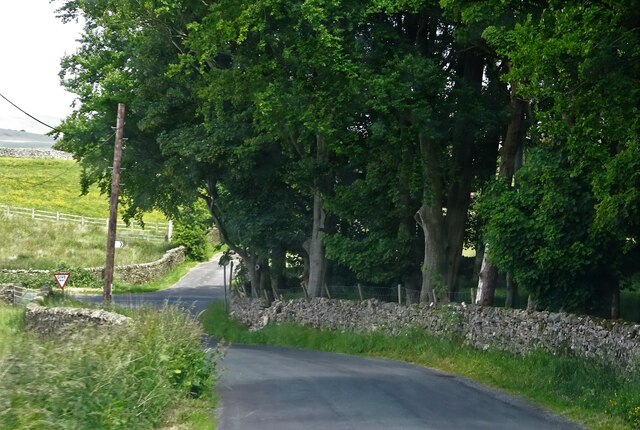
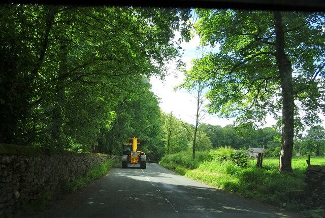
The wood is primarily composed of native broadleaf trees, including oak, ash, and birch, which create a dense canopy overhead. This lush vegetation provides a haven for a diverse range of wildlife, such as deer, foxes, badgers, and a multitude of bird species. The tranquil atmosphere of the wood is further enhanced by the soothing sounds of birdsong and rustling leaves.

A network of well-maintained footpaths meander through Little Dunnow Wood, offering visitors the opportunity to explore its natural beauty. The paths wind through the various compartments of the wood, leading to hidden clearings, babbling streams, and ancient trees. In spring, the forest floor becomes a carpet of vibrant bluebells, creating a breathtaking sight that attracts nature enthusiasts and photographers alike.

Little Dunnow Wood is not only a haven for wildlife but also a popular destination for recreational activities. It provides an idyllic setting for walking, picnicking, and nature observation. The wood is managed by the local conservation authority, ensuring its preservation and protection for future generations to enjoy.

Visiting Little Dunnow Wood is a truly immersive experience, where one can escape the hustle and bustle of everyday life and immerse themselves in the tranquility and natural beauty of Yorkshire's countryside.

If you have any feedback on the listing, please let us know in the comments section below.

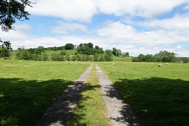
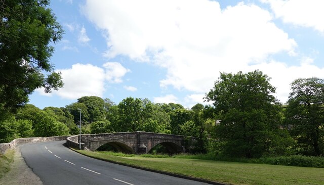
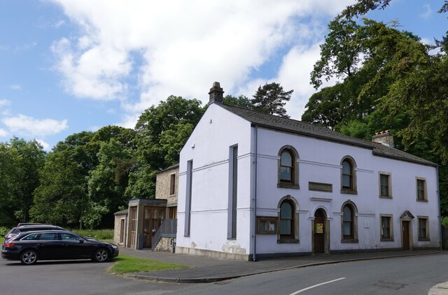
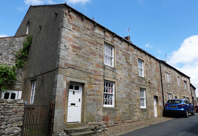
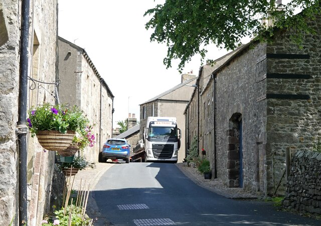
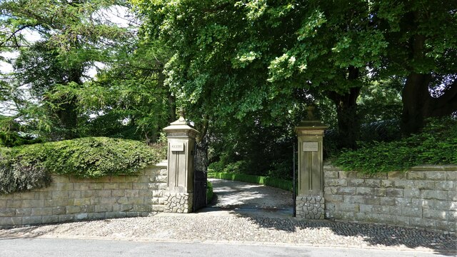
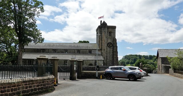
Little Dunnow Wood Images

Images are sourced within 2km of 53.957845/-2.447558 or Grid Reference SD7051. Thanks to Geograph Open Source API. All images are credited.

Ordnance Survey Cut Mark This mark can be found on the roadside wall of a dwelling, former farm building, at Robinson's Farm, Easington.
The benchmark has a recorded height of 141.0157 metres above sea level.
For more detail see : <span class="nowrap"><a title="https://www.bench-marks.org.uk/bm145767" rel="nofollow ugc noopener" href="https://www.bench-marks.org.uk/bm145767">Link</a><img style="margin-left:2px;" alt="External link" title="External link - shift click to open in new window" src="https://s1.geograph.org.uk/img/external.png" width="10" height="10"/></span>
Ordnance Survey Cut Mark
This mark can be found on the roadside wall of a dwelling, former farm building, at Robinson's Farm, Easington. The benchmark has a recorded height of 141.0157 metres above sea level. For more detail see : LinkExternal link
Sheep at pasture Behind the long stay car park.
Sheep at pasture
Behind the long stay car park.
Slaidburn Bridge Carrying the B6478 over the River Hodder.
Slaidburn Bridge
Carrying the B6478 over the River Hodder.
Slaidburn Village Hall Originally a Wesleyan chapel built in 1821 and restored in 1889. The later conversion to a village hall included an extension at the rear.
Slaidburn Village Hall
Originally a Wesleyan chapel built in 1821 and restored in 1889. The later conversion to a village hall included an extension at the rear.
Slaidburn war memorial
Former school in Slaidburn The village girls' school was on chapel street.
Former school in Slaidburn
The village girls' school was on chapel street.
Waterloo Buildings Built in 1843 and grade II listed, the buildings are on the corner of Church Street, where the shop entrance is, and Town End in Slaidburn.
Waterloo Buildings
Built in 1843 and grade II listed, the buildings are on the corner of Church Street, where the shop entrance is, and Town End in Slaidburn.
Houses in Slaidburn A terrace on Church Street.
Houses in Slaidburn
A terrace on Church Street.
Houses in Slaidburn Nos. 18 and 20 Church Street are grade II listed.
Houses in Slaidburn
Nos. 18 and 20 Church Street are grade II listed.
A tight squeeze An H.G.V. carefully (and successfully) negotiates a hazard in Church Street, Slaidburn.
A tight squeeze
An H.G.V. carefully (and successfully) negotiates a hazard in Church Street, Slaidburn.
Entrance to Glebe House On Church Street in Slaidburn.
Entrance to Glebe House
On Church Street in Slaidburn.
St. Andrew's Church Slaidburn C. of E. parish church is grade I listed. It was built in C15 (probably) with C17 alterations.
St. Andrew's Church
Slaidburn C. of E. parish church is grade I listed. It was built in C15 (probably) with C17 alterations.
Smalden Lane meets the B6478 Turn left for Slaidburn.
Smalden Lane meets the B6478
Turn left for Slaidburn.
Entering Slaidburn Approaching Slaidburn Bridge which spans the River Hodder. Also known as New Bridge, it was built in the late 18th century and is grade II listed.
Entering Slaidburn
Approaching Slaidburn Bridge which spans the River Hodder. Also known as New Bridge, it was built in the late 18th century and is grade II listed.
Slow moving traffic on the road to Newton in Bowland Near Bluebutts Farm.
Slow moving traffic on the road to Newton in Bowland
Near Bluebutts Farm.
Approaching Slaidburn St. Andrew's church can be seen in the right middle ground.
Approaching Slaidburn
St. Andrew's church can be seen in the right middle ground.
Benchmark on Croasdale Brook Bridge, Slaidburn Ordnance Survey benchmark on the north west end of Croasdale Brook Bridge, Slaidburn. The Grade II bridge had just been sympathetically restored when I took the photo in 2011. For a wider view see <a href="https://www.geograph.org.uk/photo/7682094">SD7152 : The Skaithe over Croasdale Brook, Slaidburn</a>

In 2019 this corner stone was damaged and was replaced with an incongruous brand new piece of stone that looked completely out of place. <span class="nowrap"><a title="https://www.jonglew.com/Walking/Benchmarks/2019/20191122-BrParapetSlaidburnLancsLocationOfBM18-CutBM.jpg" rel="nofollow ugc noopener" href="https://www.jonglew.com/Walking/Benchmarks/2019/20191122-BrParapetSlaidburnLancsLocationOfBM18-CutBM.jpg">Link</a><img style="margin-left:2px;" alt="External link" title="External link - shift click to open in new window" src="https://s1.geograph.org.uk/img/external.png" width="10" height="10"/></span>
Benchmark on Croasdale Brook Bridge, Slaidburn
Ordnance Survey benchmark on the north west end of Croasdale Brook Bridge, Slaidburn. The Grade II bridge had just been sympathetically restored when I took the photo in 2011. For a wider view see SD7152 : The Skaithe over Croasdale Brook, Slaidburn In 2019 this corner stone was damaged and was replaced with an incongruous brand new piece of stone that looked completely out of place. LinkExternal link
Location of Cut Mark: Slaidburn, Guard Stone #2 Church Street
Show me another place!

Little Dunnow Wood is located at Grid Ref: SD7051 (Lat: 53.957845, Lng: -2.447558)

Division: West Riding

Administrative County: Lancashire

District: Ribble Valley

Police Authority: Lancashire

What 3 Words

///verb.yachting.fabricate. Near Waddington, Lancashire

Related Wikis

St Andrew's Church, Slaidburn

St Andrew's Church is in Church Street, Slaidburn, Lancashire, England. It is an active Anglican parish church in the deanery of Bowland, the archdeaconry...

King's House, Slaidburn

King's House is a Grade II listed building in Slaidburn, Lancashire, England, now used as a youth hostel. It was originally built in the 18th century,...
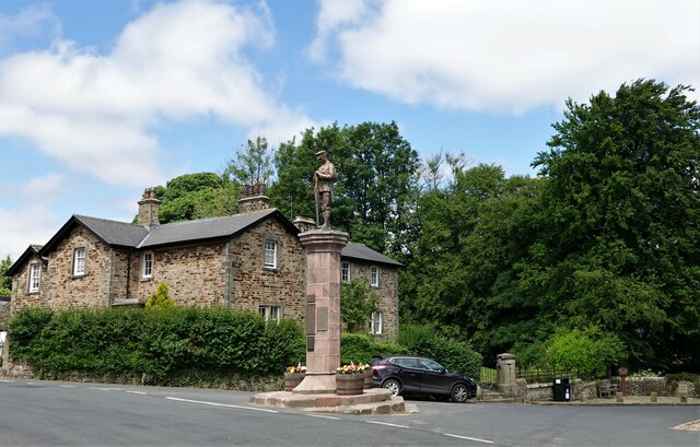
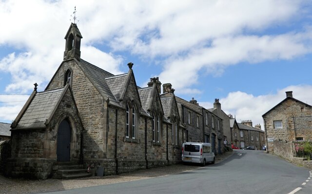
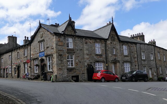
Slaidburn

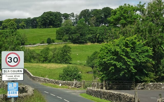
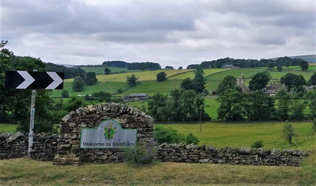
Slaidburn () is a village and civil parish within the Ribble Valley district of Lancashire, England. The parish covers just over 5,000 acres of the Forest...

Lancashire Witches Walk

The Lancashire Witches Walk is a 51-mile (82 km) long-distance footpath opened in 2012, between Barrowford and Lancaster, all in Lancashire, England. It...

Newton-in-Bowland

Newton or Newton-in-Bowland is a village and civil parish in the Ribble Valley district, in the county of Lancashire, England, formerly known as Newton...

Easington Fell

Easington Fell is a Marilyn in the Forest of Bowland in Lancashire, England. It has been surveyed to be 70 cm higher than a nearby fell of almost identical...

River Dunsop

The River Dunsop is a river in the Forest of Bowland in Northern England. It flows into the River Hodder at Dunsop Bridge.It begins at the confluence of...

Stocks Reservoir

Stocks Reservoir is a reservoir situated at the head of the Hodder valley in the Forest of Bowland, Lancashire, England (historically in the West Riding...

Nearby Amenities

Located within 500m of 53.957845,-2.447558
Barrier: stile
Foot: yes
Material: wood
Stile: ladder
Lat/Long: 53.9585762/-2.4437039
Barrier: stile
Foot: yes
Material: wood
Stile: ladder
Lat/Long: 53.9587141/-2.4446328
The data included in this document is from www.openstreetmap.org. The data is made available under ODbL.

Have you been to Little Dunnow Wood?

Leave your review of Little Dunnow Wood below (or comments, questions and feedback).