Fletchers Coppice

Wood, Forest in Shropshire

England

Fletchers Coppice

A4117 at Weston Farm
A4117 at Weston Farm Credit: Peter Whatley

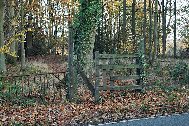
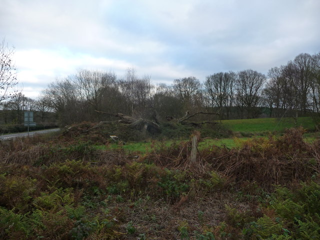
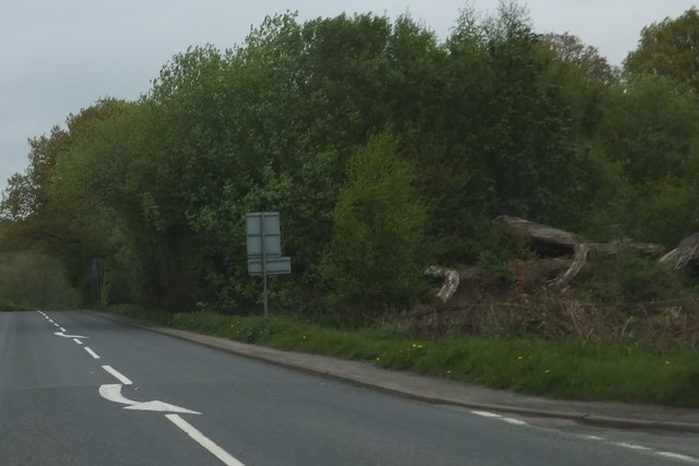
Fletchers Coppice is a picturesque woodland located in the county of Shropshire, England. Covering an area of approximately 50 acres, it is nestled within the stunning countryside and offers visitors a tranquil retreat from the hustle and bustle of everyday life.

The woodland is predominantly composed of mixed deciduous trees, including oak, beech, and ash, which create a diverse and vibrant landscape all year round. The forest floor is adorned with a rich carpet of bluebells and wildflowers during the spring, providing a stunning display of color and fragrance.

Fletchers Coppice is a popular destination for nature enthusiasts and outdoor adventurers alike. It boasts a network of well-maintained footpaths and trails, allowing visitors to explore the woodland at their own pace. These paths wind through the ancient trees, offering glimpses of local wildlife such as deer, squirrels, and a variety of bird species.

In addition to its natural beauty, Fletchers Coppice also offers a range of amenities for visitors to enjoy. There are picnic areas scattered throughout the woodland, providing the perfect spot for a leisurely lunch or afternoon tea. The forest also features a children's play area, ensuring that younger visitors are entertained and engaged.

Whether you are seeking a peaceful escape or an active day out, Fletchers Coppice is a hidden gem in the heart of Shropshire. With its stunning scenery, diverse flora and fauna, and excellent facilities, it is a must-visit destination for nature lovers and families alike.

If you have any feedback on the listing, please let us know in the comments section below.

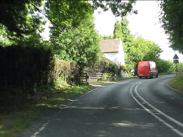
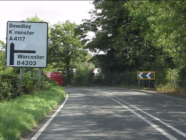
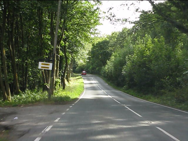
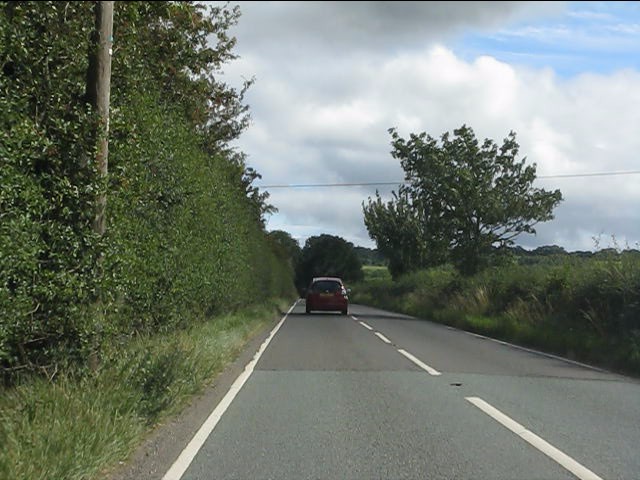
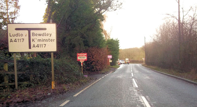
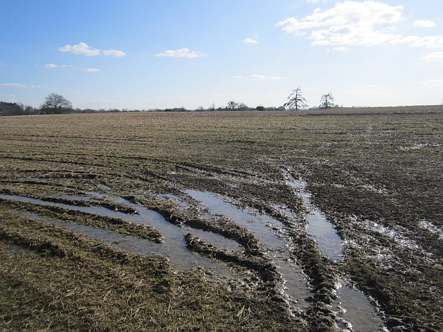
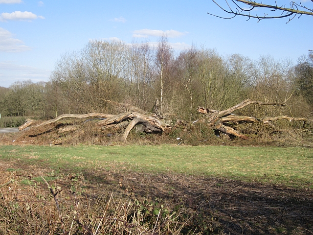
Fletchers Coppice Images

Images are sourced within 2km of 52.369127/-2.4314815 or Grid Reference SO7074. Thanks to Geograph Open Source API. All images are credited.

A4117 at Weston Farm
A4117 approaching the B4202 junction The use of Worcester as a primary destination is curious since the B4202 ends well north of that city at Abberley. Compare with this sign near Clows Top: <a title="https://www.geograph.org.uk/photo/2571418" href="https://www.geograph.org.uk/photo/2571418">Link</a>.
A4117 approaching the B4202 junction
The use of Worcester as a primary destination is curious since the B4202 ends well north of that city at Abberley. Compare with this sign near Clows Top: Link.
Garage at the A4117/B4202 junction The white lorry is waiting to turn out of the B4202.
Garage at the A4117/B4202 junction
The white lorry is waiting to turn out of the B4202.
B4202 amid woodland
B4202 amid woodland
B4202 near Prizeley
B4202 near Prizeley
Footpath into the woods
Garage at B4202 and A4117 junction near Weston Farm
A4117 approaching the B4202 junction
Pumping station
Pumping station
The decaying Mawley Oak near Cleobury Mortimer This old oak tree was a notable landmark here for centuries until its collapse in 2001. It was of massive girth and possibly 300 years old - its massive girth due to a favourable position rather than ancient age. But its location may have sped up its demise. Rather than slowly laying down growth rings its accelerated growth and wide growth rings weakened it. It now lies here decaying slowly and no doubt supporting a veritable city of invertebrates, bugs, beetles, larvae etc etc.
The decaying Mawley Oak near Cleobury Mortimer
This old oak tree was a notable landmark here for centuries until its collapse in 2001. It was of massive girth and possibly 300 years old - its massive girth due to a favourable position rather than ancient age. But its location may have sped up its demise. Rather than slowly laying down growth rings its accelerated growth and wide growth rings weakened it. It now lies here decaying slowly and no doubt supporting a veritable city of invertebrates, bugs, beetles, larvae etc etc.
The Mawley Oak garage and filling station At the junction of the A4117 and B4202 roads near Cleobury Mortimer. Named for the old oak tree that stood nearby until 2001.
The Mawley Oak garage and filling station
At the junction of the A4117 and B4202 roads near Cleobury Mortimer. Named for the old oak tree that stood nearby until 2001.
Entrance to Lodge Coppice from B4202
B4202 at Prizeley
B4202 at Prizeley
B4202 junction with A4117
Field, Prizeley Wet from snowmelt.
Field, Prizeley
Wet from snowmelt.
Field, Prizeley
Field, Prizeley
Mawley Oak An old oak has been left to rot. This was once a famous landmark, but collapsed in 2001.
Mawley Oak
An old oak has been left to rot. This was once a famous landmark, but collapsed in 2001.
Woodland and the Mawley Oak The tree trunk on the right is the remains of the Mawley Oak which fell in 2001 <span class="nowrap"><a title="http://wbrc.org.uk/worcRecd/Issue12/mawley.htm" rel="nofollow ugc noopener" href="http://wbrc.org.uk/worcRecd/Issue12/mawley.htm">Link</a><img style="margin-left:2px;" alt="External link" title="External link - shift click to open in new window" src="https://s1.geograph.org.uk/img/external.png" width="10" height="10"/></span>
Woodland and the Mawley Oak
The tree trunk on the right is the remains of the Mawley Oak which fell in 2001 LinkExternal link
Show me another place!

Fletchers Coppice is located at Grid Ref: SO7074 (Lat: 52.369127, Lng: -2.4314815)

Unitary Authority: Shropshire

Police Authority: West Mercia

What 3 Words

///loved.daffodils.overlooks. Near Cleobury Mortimer, Shropshire

Nearby Locations

Fletchers Coppice Larches

Related Wikis

Cleobury Mortimer railway station

Cleobury Mortimer railway station was a station in Cleobury Mortimer, Shropshire, England. The station was opened in 1864 and closed in 1962. Station buildings...

Bayton

Bayton is a village and civil parish in the Malvern Hills District of Worcestershire, England. According to the 2021 census it had a population of 535...
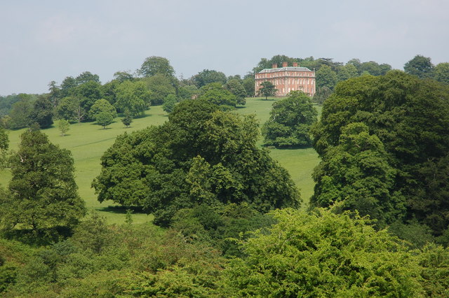
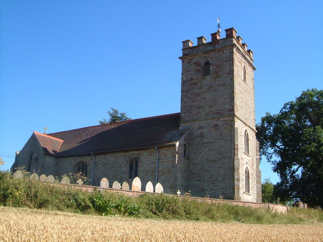
Mawley Hall

Mawley Hall is a privately owned 18th-century country mansion near Cleobury Mortimer, Shropshire, England. It is a Grade I listed building.The Blount family...

Far Forest

Far Forest is a small village in north Worcestershire, England, approximately 3.5 miles (5.6 km) west of Bewdley, and next to the border with Shropshire...

Wyre Forest railway station

Wyre Forest railway station was a station to the north of Far Forest, Worcestershire, England. The station which served the Wyre Forest was opened in 1869...

Clows Top

Clows Top is a village in north Worcestershire, England. There is a village shop/post office, a butcher's, a village hall (named the "Victory Hall") and...

Castle Toot

Castle Toot, or Cleobury Castle, was a motte castle by the River Rea in the town of Cleobury Mortimer, Shropshire. It is a scheduled monument, first listed...

Fingerpost, Worcestershire

Fingerpost is a hamlet and road junction in north Worcestershire, England, approximately 3 miles (4.8 km) west of Bewdley. It is located at the junction...

Nearby Amenities

Located within 500m of 52.369127,-2.4314815
The data included in this document is from www.openstreetmap.org. The data is made available under ODbL.

Have you been to Fletchers Coppice?

Leave your review of Fletchers Coppice below (or comments, questions and feedback).