Burtons Grove
Wood, Forest in Gloucestershire Forest of Dean
England
Burtons Grove
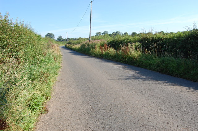
Burtons Grove is a picturesque woodland located in the county of Gloucestershire, England. Situated within the larger Forest of Dean, it covers an area of approximately 300 acres and is renowned for its natural beauty and diverse wildlife.
The grove is predominantly composed of ancient oak trees, which create a dense canopy overhead, providing shade and shelter for the various flora and fauna that call this woodland home. The forest floor is adorned with a rich carpet of bluebells in the spring, creating a stunning sea of vibrant color.
Walking through Burtons Grove, one can expect to encounter a wide range of wildlife. The forest is home to numerous bird species, including woodpeckers, tawny owls, and red kites, making it a haven for birdwatchers. The woodland also provides habitat for mammals such as deer, badgers, and foxes, which can occasionally be spotted during early morning or evening walks.
The grove is crisscrossed by a network of well-maintained footpaths, allowing visitors to explore the woodland at their own pace. These paths lead to hidden gems, such as a tranquil pond and a small stream that meanders through the forest, adding to the overall serenity of the area.
Burtons Grove is a popular destination for nature lovers, hikers, and families looking to connect with the great outdoors. Its unspoiled beauty and peaceful atmosphere make it a perfect location for those seeking a break from the hustle and bustle of daily life. Whether one is looking to admire the ancient trees, listen to the birdsong, or simply enjoy a peaceful picnic surrounded by nature, Burtons Grove offers a truly enchanting experience.
If you have any feedback on the listing, please let us know in the comments section below.
Burtons Grove Images
Images are sourced within 2km of 51.988876/-2.4285434 or Grid Reference SO7032. Thanks to Geograph Open Source API. All images are credited.


![Site of Dymock station The platform edge and the bridge are all that remain of one of the most picturesque of Great Western branchline stations. Clark's standard work on GW stations shows it in its heyday [page 62]. The bridge has recently been rebuilt and will one day span the Hereford to Gloucester canal on whose route the Ledbury to Gloucester line was built in the 1880s. The line was built by the Newent Railway, but absorbed into the GWR in 1892.](https://s3.geograph.org.uk/geophotos/02/66/86/2668651_e025f728.jpg)


Burtons Grove is located at Grid Ref: SO7032 (Lat: 51.988876, Lng: -2.4285434)
Administrative County: Gloucestershire
District: Forest of Dean
Police Authority: Gloucestershire
What 3 Words
///informer.divides.slices. Near Donnington, Herefordshire
Nearby Locations
Related Wikis

Vell Mill Daffodil Meadow
Vell Mill Daffodil Meadow (grid reference SO710314) is a 2.1-hectare (5.2-acre) nature reserve in Gloucestershire.The site is owned and managed by the...

Greenway Halt railway station (Gloucestershire)
Greenway Halt was a request stop on the former Ledbury and Gloucester Railway. It opened on 1st April 1937 and closed in 1959 when the line was closed...
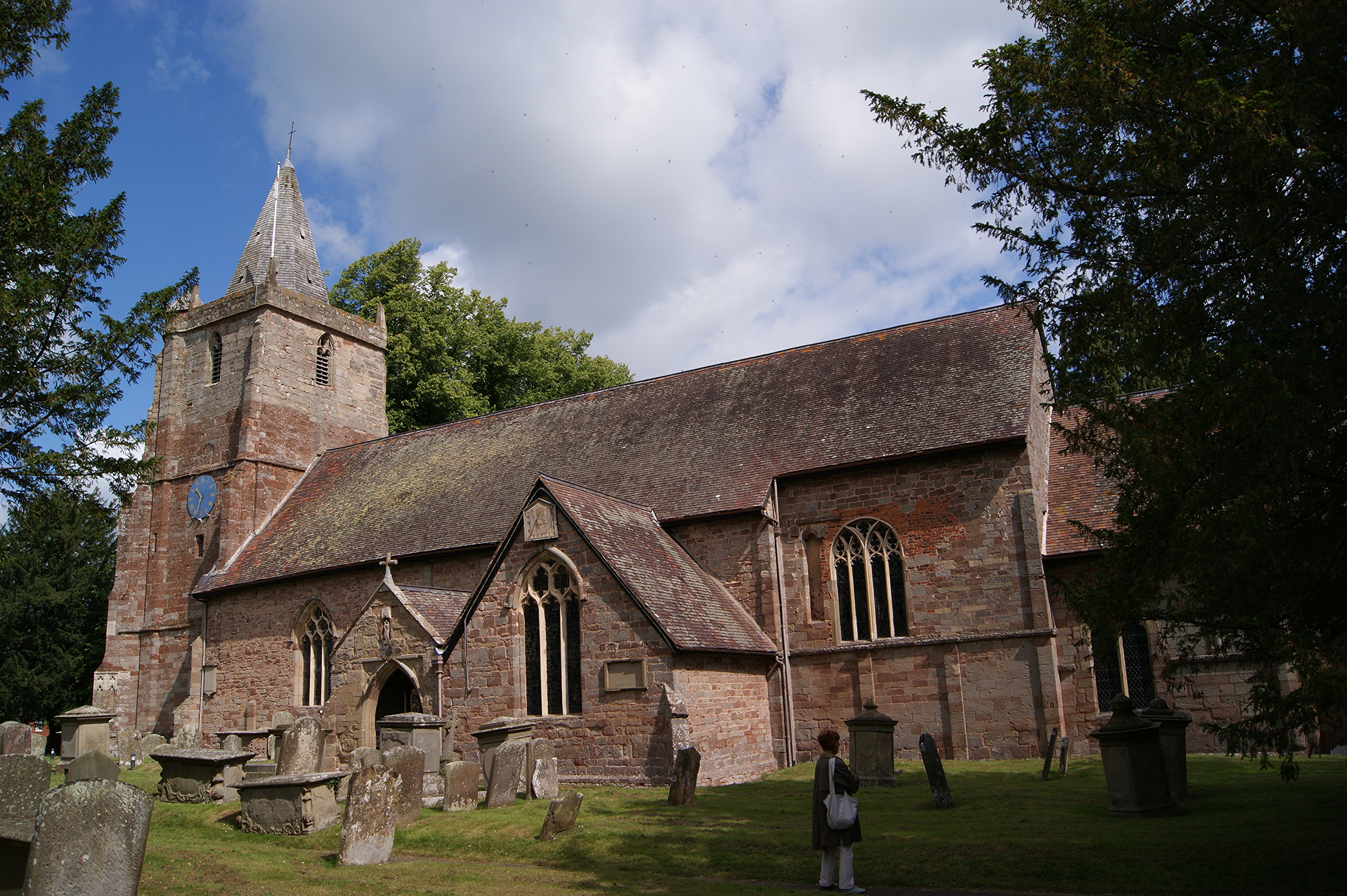
St Mary's Church, Dymock
St Mary's Church, Dymock is a Church of England parish church in the center of the village of Dymock in Gloucestershire, England. It is a Grade I listed...

Dymock
Dymock is a village and civil parish in the Forest of Dean district of Gloucestershire, England, about four miles south of Ledbury. In 2014 the parish...
Nearby Amenities
Located within 500m of 51.988876,-2.4285434Have you been to Burtons Grove?
Leave your review of Burtons Grove below (or comments, questions and feedback).