Cwrt-henri

Settlement in Carmarthenshire

Wales

Cwrt-henri

A40 approaching Drysylwyn crossroads
A40 approaching Drysylwyn crossroads Credit: Colin Pyle

Cwrt-henri is a small village located in the county of Carmarthenshire, Wales. Situated approximately 5 miles north of the town of Kidwelly, it lies in the scenic Gwendraeth Valley. The village is surrounded by rolling hills and lush green countryside, offering a picturesque setting for residents and visitors alike.

With a population of around 500 people, Cwrt-henri provides a close-knit community atmosphere. The village is characterized by a mix of traditional Welsh stone cottages and more modern housing developments. The local economy is primarily based on agriculture, with farming being a significant occupation for many residents.

Cwrt-henri is well-connected to the surrounding areas via the nearby A484 road, which links the village to Kidwelly and the regional hub of Carmarthen. This enables easy access to amenities and services, including schools, healthcare facilities, and shopping centers.

The village benefits from its proximity to the Gwendraeth River, offering residents opportunities for fishing and outdoor activities. The surrounding countryside provides ample space for walking, hiking, and enjoying nature. The nearby Pembrey Country Park and National Botanic Garden of Wales are popular attractions for both locals and tourists.

Overall, Cwrt-henri is a tranquil and scenic village that offers a peaceful rural lifestyle. Its charming character, natural beauty, and strong community spirit make it an attractive place to live or visit.

If you have any feedback on the listing, please let us know in the comments section below.
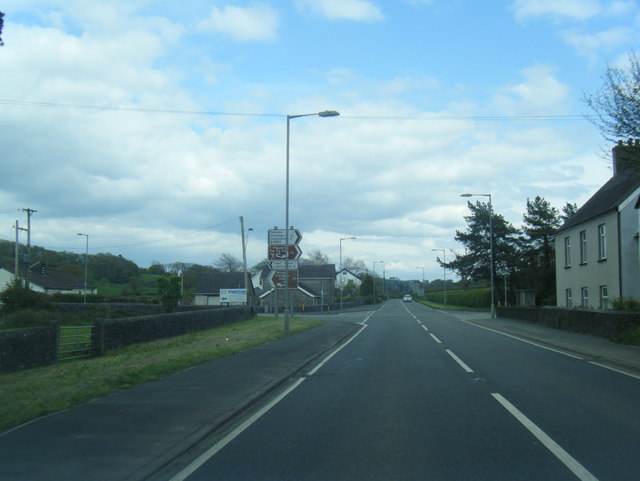
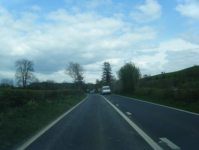
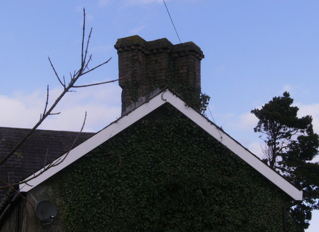
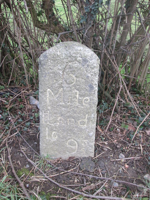
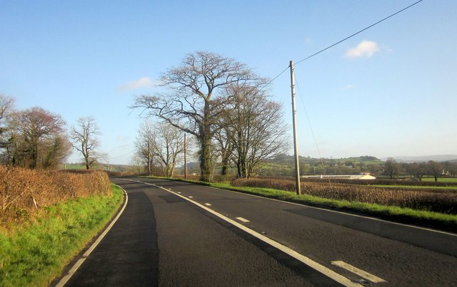
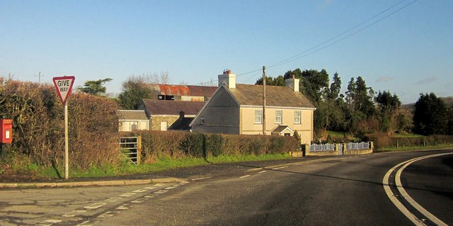
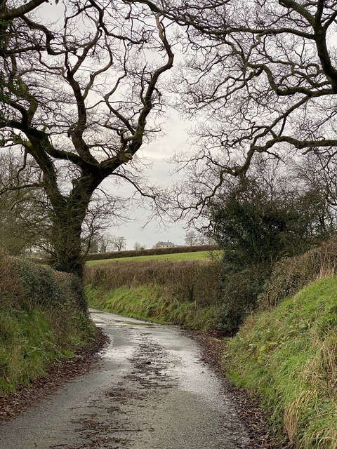
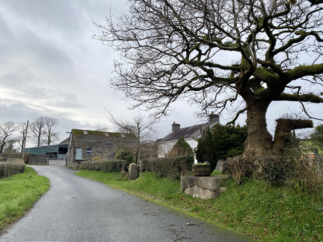
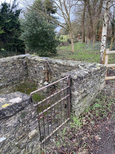
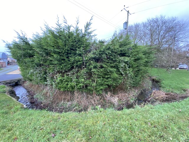
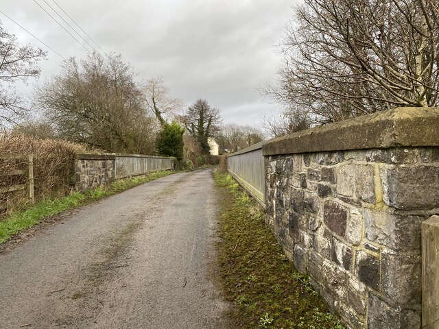
Cwrt-henri Images

Images are sourced within 2km of 51.88515/-4.099411 or Grid Reference SN5522. Thanks to Geograph Open Source API. All images are credited.

A40 approaching Drysylwyn crossroads
A40 eastbound at Lanlash
Trio of chimneys Building at the rear of this farm, which I think is called Caeaunewydd on the B4297 but these chimneys are quite ornate for such a building.
Trio of chimneys
Building at the rear of this farm, which I think is called Caeaunewydd on the B4297 but these chimneys are quite ornate for such a building.
Milestone - Llandeilo 6
A40 at Derimoelion The farm can be seen on the right across fields.
A40 at Derimoelion
The farm can be seen on the right across fields.
A40 at Nantarwenlliw The main road swings past a side lane that bends back to run parallel. The postbox is number SA32 61.
A40 at Nantarwenlliw
The main road swings past a side lane that bends back to run parallel. The postbox is number SA32 61.
Country lane The only stretch of road in SN5621.
Country lane
The only stretch of road in SN5621.
Cwmharad Farm
Cwmharad Farm
Village pump, Felindre
Stream at Felindre
Stream at Felindre
Bridge over Afon Dulas
Afon Dulas near Felindre
Ordnance Survey Cut Mark This OS cut mark can be found on the gatepost of Pant-y-ffynnon. It marks a point 64.002m above mean sea level.
Ordnance Survey Cut Mark
This OS cut mark can be found on the gatepost of Pant-y-ffynnon. It marks a point 64.002m above mean sea level.
Ordnance Survey Cut Mark This OS cut mark can be found on a barn at Tycoch. It marks a point 113.087m above mean sea level.
Ordnance Survey Cut Mark
This OS cut mark can be found on a barn at Tycoch. It marks a point 113.087m above mean sea level.
St Mary's church at Court Henry near Drislwyn, Carmarthenshire This is the view east from the road.
St Mary's church at Court Henry near Drislwyn, Carmarthenshire
This is the view east from the road.
Hotel The 'New Cross Hotel'.
Hotel
The 'New Cross Hotel'.
Farmland in the Towy Valley Looking towards Felindre, hidden behind the trees. The house stands by the bridge over the Afon Dulas.
Farmland in the Towy Valley
Looking towards Felindre, hidden behind the trees. The house stands by the bridge over the Afon Dulas.
Just off the A40 The A40 runs the other side of the hedge to the right.  Instead of a road shot I felt it would be more appropriate to show the very wet pasture land that typifies the southern part of this square.
Just off the A40
The A40 runs the other side of the hedge to the right. Instead of a road shot I felt it would be more appropriate to show the very wet pasture land that typifies the southern part of this square.
Show me another place!

Cwrt-henri is located at Grid Ref: SN5522 (Lat: 51.88515, Lng: -4.099411)

Unitary Authority: Carmarthenshire

Police Authority: Dyfed Powys

Also known as: Court-Henry, Court Henry

What 3 Words

///poetic.coveted.ambushed. Near Llangathen, Carmarthenshire

Related Wikis

Allt y Gaer

Allt y Gaer (Welsh for 'hill of the fort') is a Site of Special Scientific Interest (SSSI) in Llangathen community, Carmarthenshire, Wales. It is a 3.5ha...

Battle of Cadfan

The Battle of Cadfan was fought between English and Welsh forces in 1257. The battle consisted of two military engagements; one at Coed Llathen and the...

Dryslwyn Castle

Dryslwyn Castle (Welsh: Castell y Drysllwyn) is a native Welsh castle, sited on a rocky hill roughly halfway between Llandeilo and Carmarthen in Wales...

Aberglasney

Aberglasney House and Gardens is a medieval house and gardens set in the Tywi valley in the parish of Llangathen, Carmarthenshire, West Wales. It is owned...

Nearby Amenities

Located within 500m of 51.88515,-4.099411
Recycling
Lat/Long: 51.8879347/-4.1028385
Bus Stop
Cwrt Henri, Maesawelon
Naptan AtcoCode: 5220AWK65333
Naptan NaptanCode: crmawjp
Lat/Long: 51.8876887/-4.1005331
Place: farm
Lat/Long: 51.8842076/-4.097789
Cwrt-henri
Name Cy: Cwrt-henri
Place: village
Lat/Long: 51.8862339/-4.0983955
Post Box
Collection Times: Mo-Fr 16:00; Sa 10:15
Post Box Type: lamp
Ref: SA32 183
Royal Cypher: EIIR
Royal Cypher Wikidata: Q33102113
Lat/Long: 51.8884581/-4.1015688
Direction: 145
Generator Method: photovoltaic
Generator Output Electricity: yes
Generator Solar Modules: 16
Generator Source: solar
Generator Type: solar_photovoltaic_panel
Location: roof
Power: generator
Lat/Long: 51.8879261/-4.1018154
Direction: 195
Generator Method: photovoltaic
Generator Output Electricity: yes
Generator Solar Modules: 16
Generator Source: solar
Generator Type: solar_photovoltaic_panel
Location: roof
Power: generator
Lat/Long: 51.8842961/-4.0965224
The data included in this document is from www.openstreetmap.org. The data is made available under ODbL.

Have you been to Cwrt-henri?

Leave your review of Cwrt-henri below (or comments, questions and feedback).