Common Wood

Wood, Forest in Somerset Mendip

England

Common Wood

Rocky bridge and Old Rectory This tributary of the Nunney Brook has been culverted under the track through two concrete pipes.
Rocky bridge and Old Rectory Credit: David Martin

Common Wood, Somerset, also known simply as Wood or Forest, is a picturesque woodland located in the southwest of England. Covering an area of approximately 500 acres, it is a haven for nature enthusiasts and those seeking tranquility amidst the beauty of the countryside.

The wood is predominantly made up of oak and beech trees, with a few scattered conifers adding variety to the landscape. The dense canopy of foliage creates a cool and shaded environment, perfect for leisurely walks or picnics on hot summer days.

The wood is home to a diverse range of flora and fauna. Bluebells carpet the forest floor in the spring, creating a stunning display of color, while various species of birds can be heard chirping and singing from the treetops. Woodpeckers, owls, and buzzards are just some of the bird species that can be spotted here.

A network of well-maintained footpaths and bridleways wind their way through the wood, providing ample opportunities for exploration. Visitors can choose from a range of trails, each offering a different experience, from short and easy strolls to longer, more challenging hikes.

Common Wood is also a popular spot for wildlife enthusiasts, as it is home to a number of rare and protected species. Deer, badgers, foxes, and squirrels can often be spotted, adding to the sense of natural beauty and tranquility.

Overall, Common Wood in Somerset is a delightful destination for nature lovers and outdoor enthusiasts, offering a peaceful retreat from the hustle and bustle of everyday life.

If you have any feedback on the listing, please let us know in the comments section below.
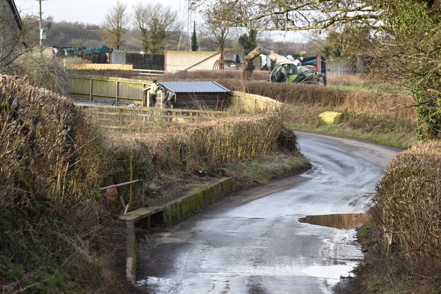
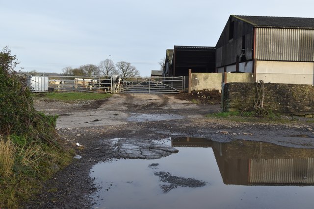
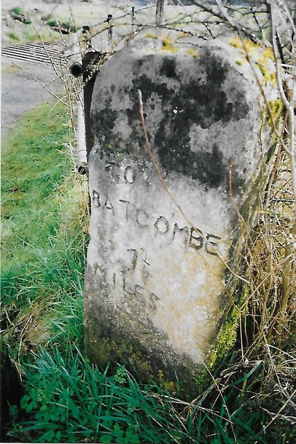
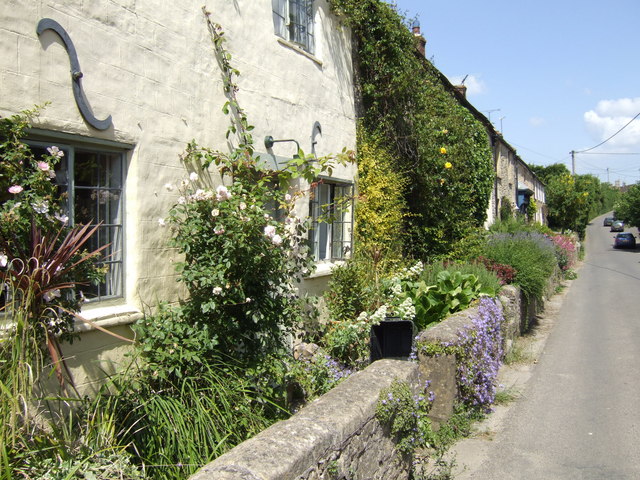
Common Wood Images

Images are sourced within 2km of 51.165387/-2.4241526 or Grid Reference ST7040. Thanks to Geograph Open Source API. All images are credited.

Rocky bridge and Old Rectory This tributary of the Nunney Brook has been culverted under the track through two concrete pipes.
Rocky bridge and Old Rectory
This tributary of the Nunney Brook has been culverted under the track through two concrete pipes.
Stream through pipes This is the view to the right of <a href="https://www.geograph.org.uk/photo/7698483">ST7142 : Rocky bridge and Old Rectory</a>.
Stream through pipes
This is the view to the right of ST7142 : Rocky bridge and Old Rectory.
Ford in The Street, Wanstrow During low river levels, the water passes in pipes under the road. Remarkably, that is happening here, although the surrounding land fields are very wet.
Ford in The Street, Wanstrow
During low river levels, the water passes in pipes under the road. Remarkably, that is happening here, although the surrounding land fields are very wet.
Ford and bridge in Mead Lane, Wanstrow
Through the bridge The stream is passing beneath the ford in pipes and will only flow over the road surface when water levels are higher. For context, see <a href="https://www.geograph.org.uk/photo/7698488">ST7141 : Ford and bridge in Mead Lane, Wanstrow</a>.
Through the bridge
The stream is passing beneath the ford in pipes and will only flow over the road surface when water levels are higher. For context, see ST7141 : Ford and bridge in Mead Lane, Wanstrow.
Sponsored bench seat, Wanstrow The former telephone call box is now a book exchange.
Sponsored bench seat, Wanstrow
The former telephone call box is now a book exchange.
Recreation ground by the village hall at Wanstrow
Lane and ford at Weston Town The water level has clearly been much higher, judging from the amount of debris trapped upstream of the raised footway.
Lane and ford at Weston Town
The water level has clearly been much higher, judging from the amount of debris trapped upstream of the raised footway.
St Mary's Church, Wanstrow
Very large puddle in Church Street, Wanstrow
Long Lane, north of Weston Town
Long Lane, from the junction with Lower Lane
Farmland north of Weston Town, with distant wind turbine
Old Milestone, Cockpit Lane, North of Batcombe The milestone is located opposite the entrance to Batcombe Lodge, on the grass verge on the east side of the road. Parish of Batcombe (Mendip District). Carved stone post, Batcombe stone design, erected by the Bruton turnpike trust in the 20th century. 

Inscription reads:-
TO / BATCOMBE / 1¼ / {arrow to right}

Grade II listed. List Entry Number: 1058548 <span class="nowrap"><a title="https://historicengland.org.uk/listing/the-list/list-entry/1058548" rel="nofollow ugc noopener" href="https://historicengland.org.uk/listing/the-list/list-entry/1058548">Link</a><img style="margin-left:2px;" alt="External link" title="External link - shift click to open in new window" src="https://s1.geograph.org.uk/img/external.png" width="10" height="10"/></span>

Milestone Society National ID: SO_BC01
Old Milestone, Cockpit Lane, North of Batcombe
The milestone is located opposite the entrance to Batcombe Lodge, on the grass verge on the east side of the road. Parish of Batcombe (Mendip District). Carved stone post, Batcombe stone design, erected by the Bruton turnpike trust in the 20th century. Inscription reads:- TO / BATCOMBE / 1¼ / {arrow to right} Grade II listed. List Entry Number: 1058548 LinkExternal link Milestone Society National ID: SO_BC01
Railway southeast of Mitchell's Elm Farm
Row of cottages in Batcombe, Somerset A sleepy village scene!
Row of cottages in Batcombe, Somerset
A sleepy village scene!
Weather vane, Batcombe The word 'vane' comes from the Anglo-Saxon word 'fane', meaning 'flag'. Originally, fabric pennants would show archers the direction of the wind. Later, the cloth flags were replaced by metal ones, decorated with the nobleman's coat of arms. It was understood that shifts in the wind often indicated changes in the weather. Cardinal points were not added until several centuries later.
Weather vanes have always been more than just a wind direction device. Created by skilled craftsman, there is true artistic expression in the varied designs. Initially wood vanes were carved by carpenters or furniture makers, and iron, copper and tin ones were forged by the local blacksmith or tinsmith. In the 19th century weather vanes started to be mass-produced from moulds.
Weather vane, Batcombe
The word 'vane' comes from the Anglo-Saxon word 'fane', meaning 'flag'. Originally, fabric pennants would show archers the direction of the wind. Later, the cloth flags were replaced by metal ones, decorated with the nobleman's coat of arms. It was understood that shifts in the wind often indicated changes in the weather. Cardinal points were not added until several centuries later. Weather vanes have always been more than just a wind direction device. Created by skilled craftsman, there is true artistic expression in the varied designs. Initially wood vanes were carved by carpenters or furniture makers, and iron, copper and tin ones were forged by the local blacksmith or tinsmith. In the 19th century weather vanes started to be mass-produced from moulds.
St Mary's Church, Wanstrow
Show me another place!

Common Wood is located at Grid Ref: ST7040 (Lat: 51.165387, Lng: -2.4241526)

Administrative County: Somerset

District: Mendip

Police Authority: Avon and Somerset

What 3 Words

///shipyards.backpack.version. Near Evercreech, Somerset

Related Wikis

Wanstrow railway station

Wanstrow railway station was a small station on the East Somerset Railway serving the village of Wanstrow in Somerset. The East Somerset Railway opened...

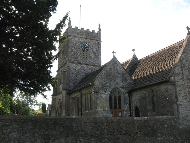
Church of St Mary, Wanstrow

The Anglican Church Of St Mary in Wanstrow, within the English county of Somerset, was built in the 15th century. It is a Grade II* listed building. The...

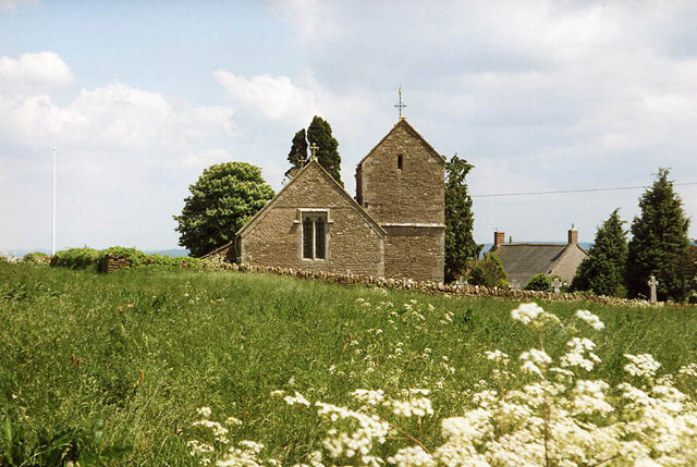
Church of St Mary Magdalene, Upton Noble

The Anglican Church Of St Mary and St John in Upton Noble, within the English county of Somerset, was built in the 12th century. It is a Grade II* listed...

Wanstrow

Wanstrow is a village and civil parish 6 miles (9.7 km) south west of Frome in Somerset, England. The parish includes the village of Cloford. == History... ==

Nearby Amenities

Located within 500m of 51.165387,-2.4241526
Parking
Field 725 Car Park
Lat/Long: 51.1663262/-2.4203466
The data included in this document is from www.openstreetmap.org. The data is made available under ODbL.

Have you been to Common Wood?

Leave your review of Common Wood below (or comments, questions and feedback).