Hagg Wood
Wood, Forest in Yorkshire Ribble Valley
England
Hagg Wood

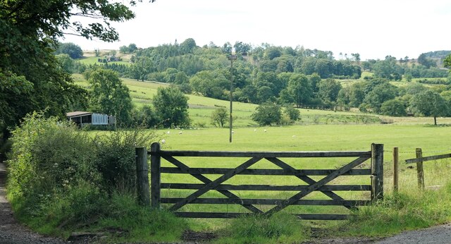
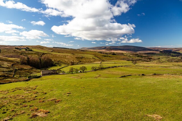
Hagg Wood is a picturesque woodland located in the county of Yorkshire, England. It is situated near the village of Dunnington, approximately 5 miles east of the city of York. Covering an area of around 150 acres, Hagg Wood is a popular destination for nature lovers and outdoor enthusiasts.
The woodland is primarily composed of deciduous trees, including oak, beech, and birch, which create a rich and diverse habitat for a variety of plant and animal species. In spring, the forest floor is carpeted with bluebells, adding a splash of color to the tranquil surroundings.
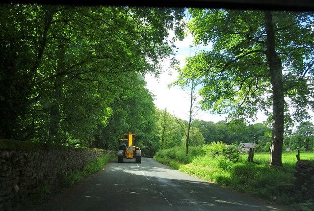
Hagg Wood offers numerous walking trails, providing visitors with the opportunity to explore the natural beauty of the area. The paths wind through the tall trees and lead to open clearings, where wildlife such as deer, squirrels, and various bird species can often be spotted.
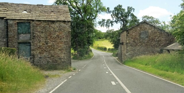
The woodland is well-maintained, with designated picnic areas and benches scattered throughout, allowing visitors to relax and enjoy the peaceful atmosphere. There is also a small car park available for those arriving by vehicle.
Hagg Wood holds great historical significance, as it is believed to have been in existence since medieval times. It has served as a valuable resource for local communities throughout the centuries, providing timber and firewood.
Overall, Hagg Wood is a charming and enchanting woodland, offering a welcome escape from the hustle and bustle of everyday life. Its natural beauty, diverse wildlife, and tranquil ambiance make it a truly special place to visit in Yorkshire.
If you have any feedback on the listing, please let us know in the comments section below.
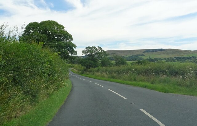
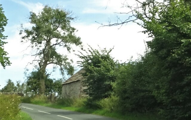
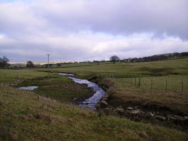
Hagg Wood Images
Images are sourced within 2km of 53.943312/-2.4522469 or Grid Reference SD7049. Thanks to Geograph Open Source API. All images are credited.


Hagg Wood is located at Grid Ref: SD7049 (Lat: 53.943312, Lng: -2.4522469)
Division: West Riding
Administrative County: Lancashire
District: Ribble Valley
Police Authority: Lancashire
What 3 Words
///youngest.storyline.shams. Near Waddington, Lancashire
Nearby Locations
Related Wikis

Newton-in-Bowland
Newton or Newton-in-Bowland is a village and civil parish in the Ribble Valley district, in the county of Lancashire, England, formerly known as Newton...

St Andrew's Church, Slaidburn
St Andrew's Church is in Church Street, Slaidburn, Lancashire, England. It is an active Anglican parish church in the deanery of Bowland, the archdeaconry...

King's House, Slaidburn
King's House is a Grade II listed building in Slaidburn, Lancashire, England, now used as a youth hostel. It was originally built in the 18th century,...

Easington Fell
Easington Fell is a Marilyn in the Forest of Bowland in Lancashire, England. It has been surveyed to be 70 cm higher than a nearby fell of almost identical...

Slaidburn
Slaidburn () is a village and civil parish within the Ribble Valley district of Lancashire, England. The parish covers just over 5,000 acres of the Forest...

Lancashire Witches Walk
The Lancashire Witches Walk is a 51-mile (82 km) long-distance footpath opened in 2012, between Barrowford and Lancaster, all in Lancashire, England. It...

River Dunsop
The River Dunsop is a river in the Forest of Bowland in Northern England. It flows into the River Hodder at Dunsop Bridge.It begins at the confluence of...

Bowland Rural District
Bowland was a rural district in the West Riding of Yorkshire from 1894 to 1974. It was named after the Forest of Bowland, which it included. It was formed...
Related Videos

Walking roman roads in Lancashire
The roman road north from Ribchester fort to Carlisle and Hadrian's wall runs through the remote landscape of north Lancashire.

Walking vlog #4
Sorry about not posting for a while been busy with life and concentrating on my studies.

Croasdale Fell from Slaidburn
A cracking walk up on to Croasdale Fell out of Slaidburn with my mate Andy. Warm enough to sweat but cool enough to be crisp.
Nearby Amenities
Located within 500m of 53.943312,-2.4522469Have you been to Hagg Wood?
Leave your review of Hagg Wood below (or comments, questions and feedback).