Bent Plantation
Wood, Forest in Cumberland Eden
England
Bent Plantation
Bent Plantation, located in Cumberland County, is a sprawling wood and forest area covering an extensive landmass of diverse ecosystems and natural features. This picturesque plantation spans approximately hundreds of acres, making it a significant natural attraction in the region.
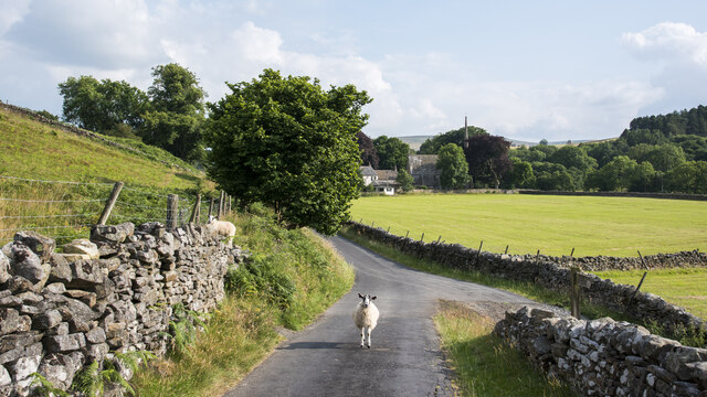
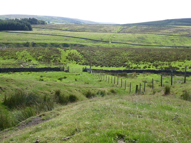
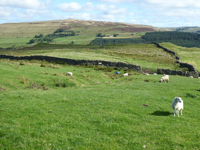
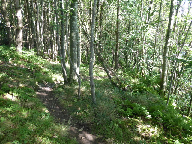
The plantation boasts a rich and varied assortment of flora and fauna, making it a haven for nature enthusiasts and adventurers alike. Towering trees, dense undergrowth, and vibrant wildflowers create a striking landscape that changes with the seasons. The woodlands are home to a wide range of plant species, including oak, maple, pine, and birch, creating a visually stunning and ecologically important habitat.
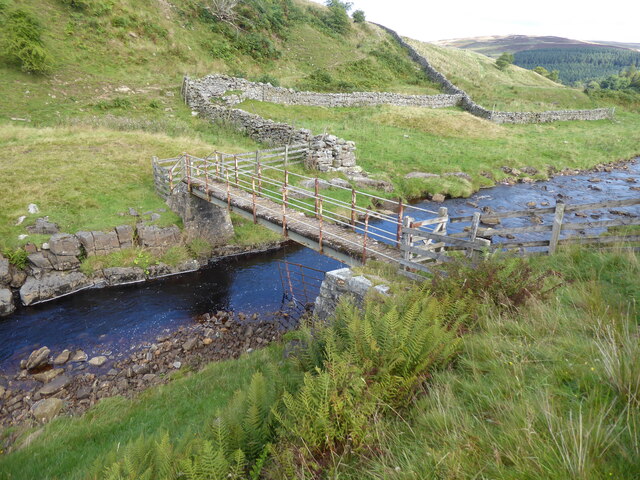
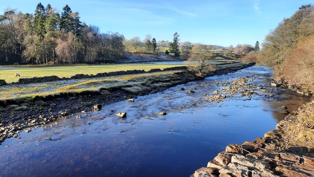
The Cumberland Forest, a prominent part of Bent Plantation, is characterized by its dense foliage, providing shelter to numerous animal species. Visitors may catch a glimpse of deer, squirrels, foxes, and a plethora of bird species including woodpeckers, owls, and songbirds. The plantation also features several small streams and ponds, adding to the overall charm and diversity of the area.
Additionally, Bent Plantation offers various recreational activities for visitors to enjoy. Hiking trails meander through the woodlands, providing opportunities for exploration and discovery. Nature walks, birdwatching, and photography are popular activities, allowing visitors to immerse themselves in the natural beauty of the plantation.
Overall, Bent Plantation in Cumberland County is a captivating destination for nature enthusiasts seeking tranquility and an escape from the hustle and bustle of urban life. Its diverse ecosystems, thriving wildlife, and recreational offerings make it a must-visit location for anyone seeking a connection with nature.
If you have any feedback on the listing, please let us know in the comments section below.
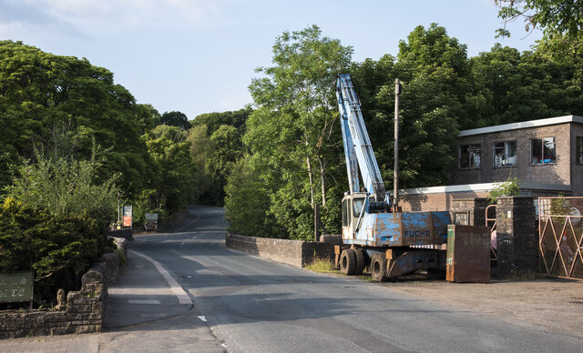
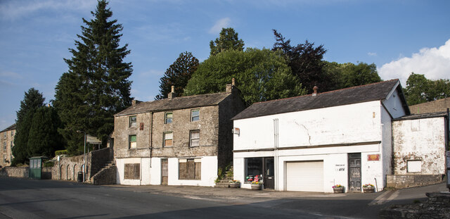
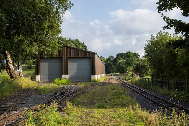
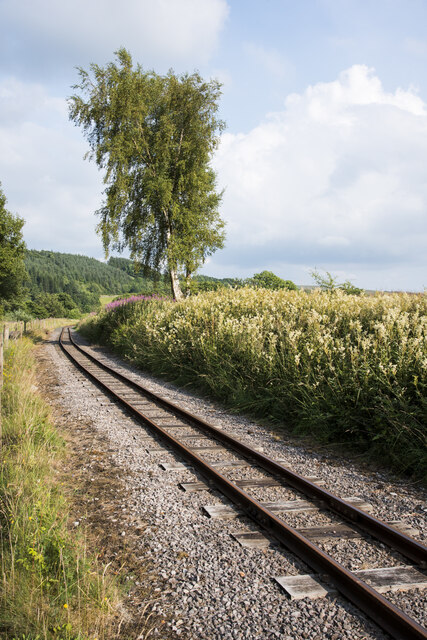
Bent Plantation Images
Images are sourced within 2km of 54.823423/-2.4623597 or Grid Reference NY7047. Thanks to Geograph Open Source API. All images are credited.


Bent Plantation is located at Grid Ref: NY7047 (Lat: 54.823423, Lng: -2.4623597)
Administrative County: Cumbria
District: Eden
Police Authority: Cumbria
What 3 Words
///conspire.harps.wide. Near Alston, Cumbria
Nearby Locations
Related Wikis

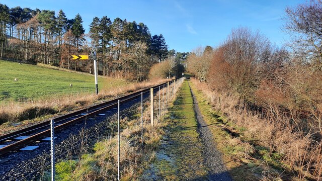
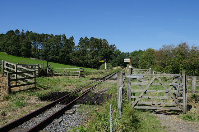
Gilderdale Halt railway station
Gilderdale Halt railway station, also known as Gilderdale railway station, served the town of Alston, Cumbria, England, from 1986 to 1999 on the South...
Whitley Castle
Whitley Castle (Epiacum) is a large, unusually shaped Roman fort (Latin: castra) north-west of the town of Alston, Cumbria, England. The castrum, which...
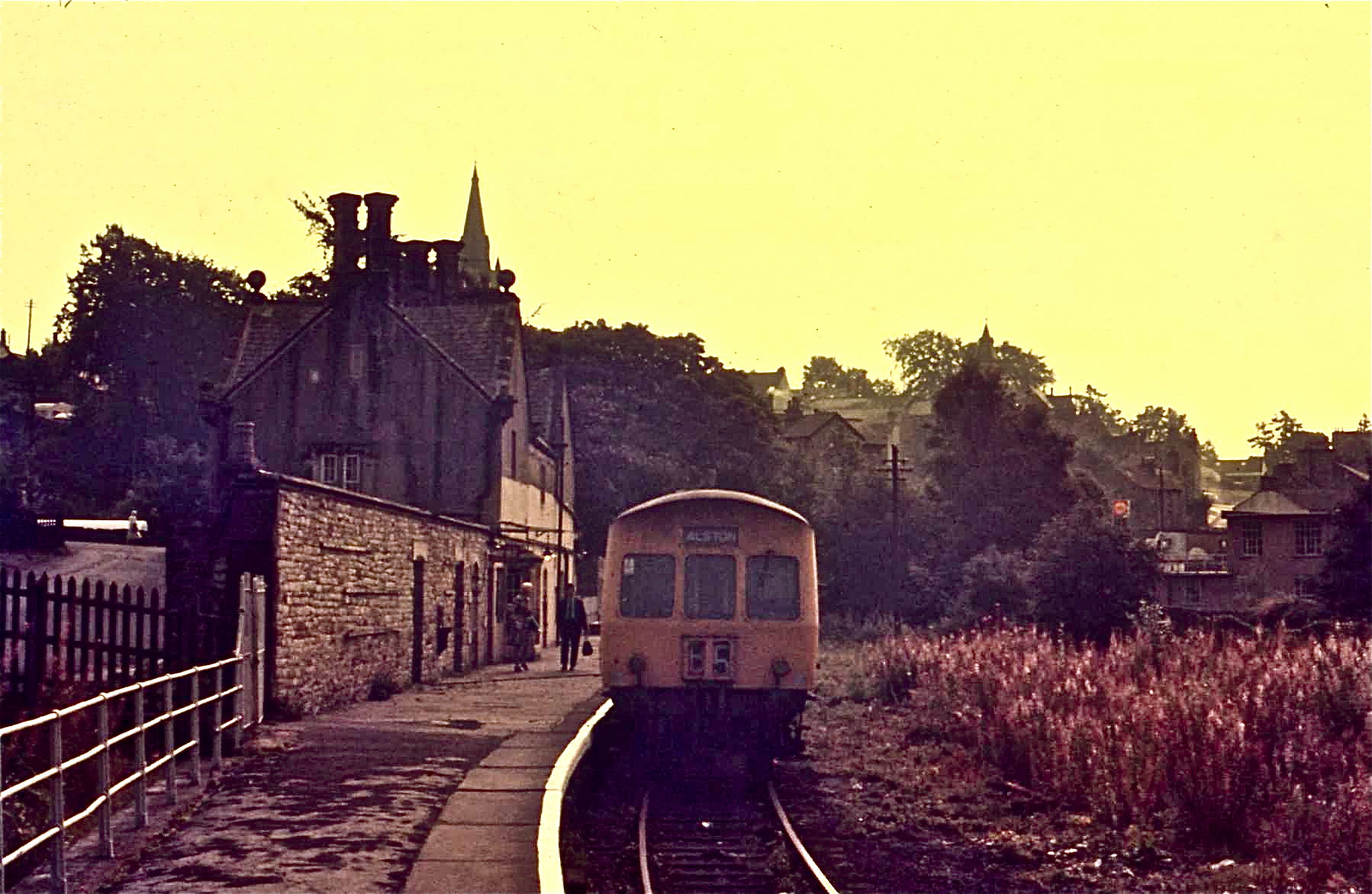
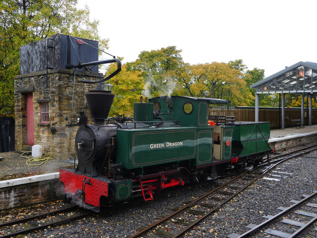
Alston railway station
Alston is a heritage railway station on the South Tynedale Railway. The station, situated 13 miles (21 km) south of Haltwhistle, is in the market town...

Alston Town Hall
Alston Town Hall is a municipal building in Front Street, Alston, Cumbria, England. The town hall, which is currently used as a public library, is a Grade...

Alston Moor
Alston Moor, formerly known as Alston with Garrigill, is a civil parish and electoral ward in the Westmorland and Furness district, in the ceremonial county...

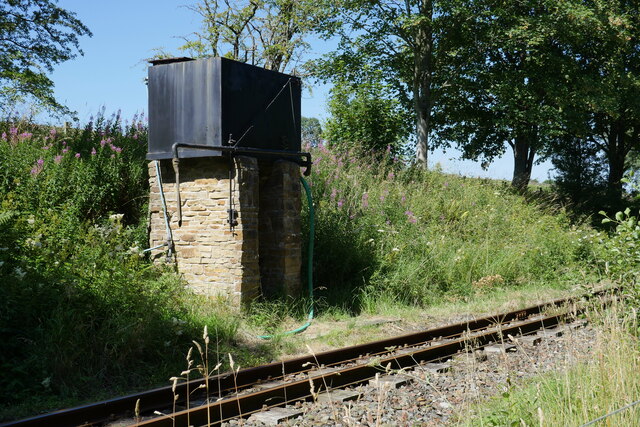
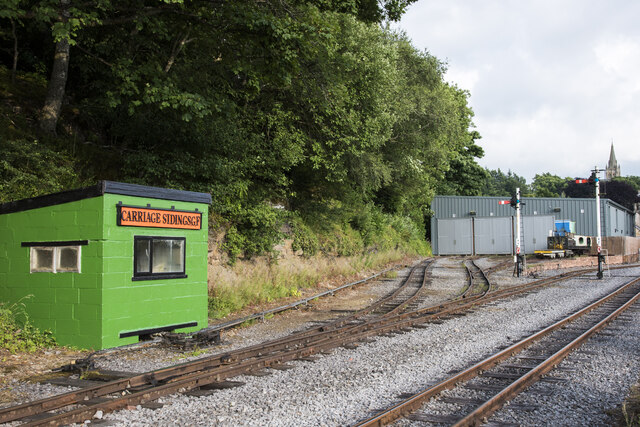
South Tynedale Railway
The South Tynedale Railway is a preserved, 2 ft (610 mm) narrow gauge heritage railway in Northern England and at 875ft is England's second highest narrow...
Samuel King's School
Samuel King's School is a mixed secondary school located in Alston in the English county of Cumbria. As of 2017 it had 73 students on roll. It is a comprehensive...

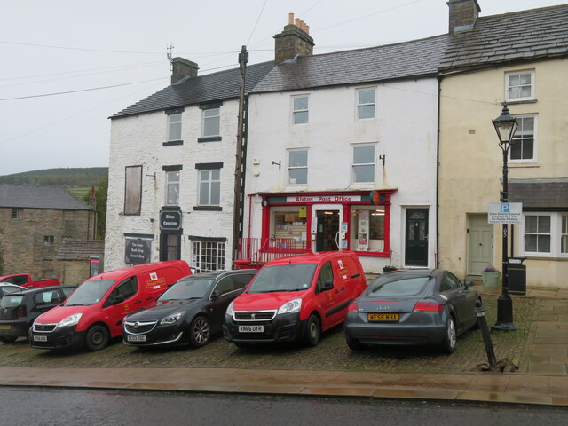
Alston, Cumbria
Alston is a town in Westmorland and Furness, Cumbria, England, within the civil parish of Alston Moor on the River South Tyne. It shares the title of the...
Nearby Amenities
Located within 500m of 54.823423,-2.4623597Have you been to Bent Plantation?
Leave your review of Bent Plantation below (or comments, questions and feedback).