Mitchell's Coppice

Wood, Forest in Herefordshire

England

Mitchell's Coppice

Lane at Yearsett The track rising on the left gives access to the old railway line, now used as a farm track, at the site of the temporary station of Yearsett, in use 1874-77.
Lane at Yearsett Credit: Peter Whatley

The requested URL returned error: 429 Too Many Requests

If you have any feedback on the listing, please let us know in the comments section below.

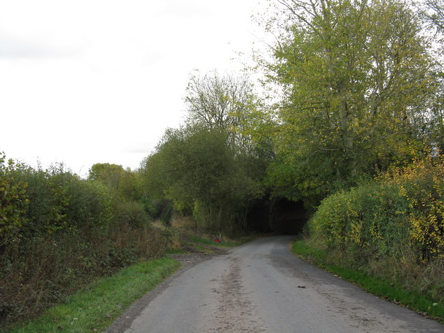
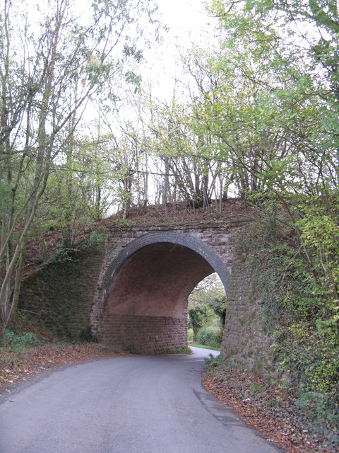
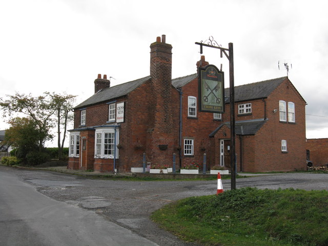
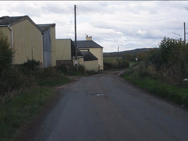
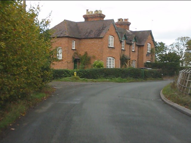
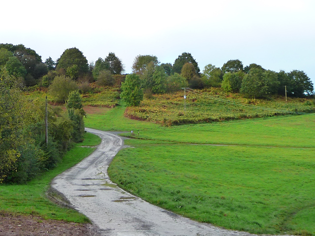
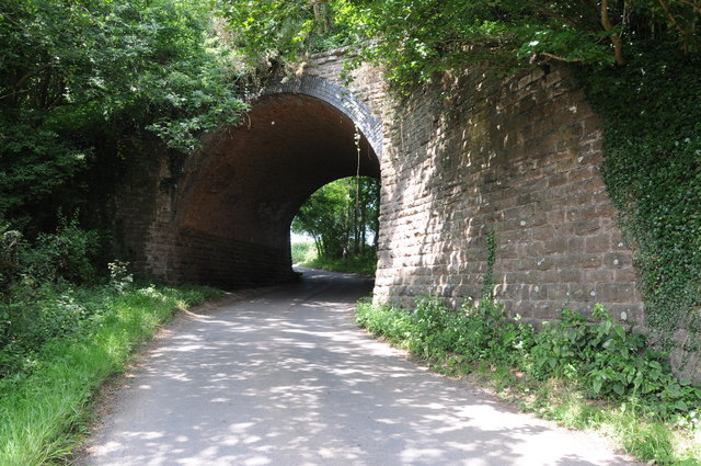
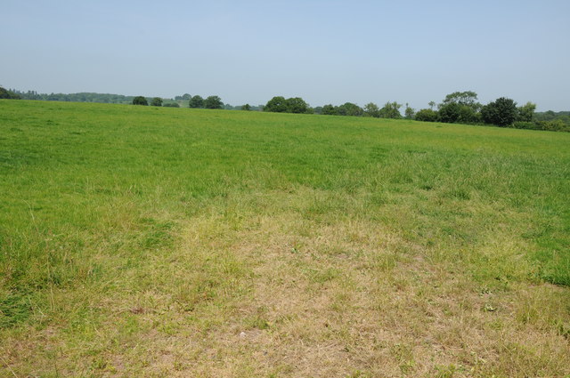
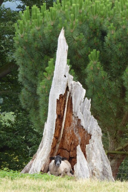
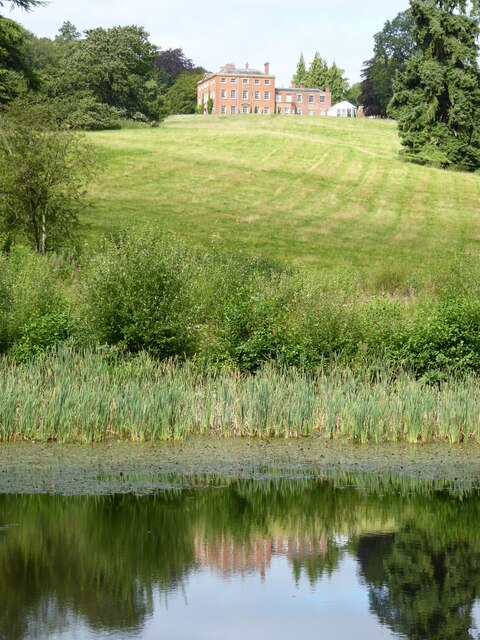
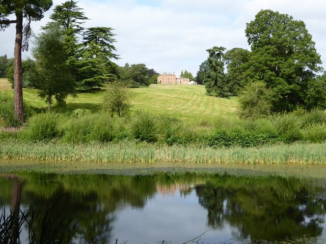
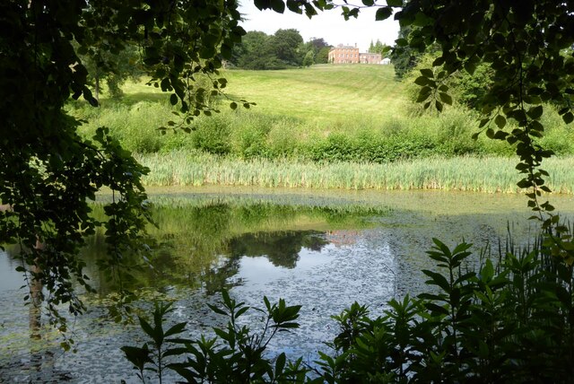
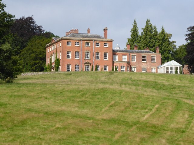
Mitchell's Coppice Images

Images are sourced within 2km of 52.188111/-2.4350651 or Grid Reference SO7054. Thanks to Geograph Open Source API. All images are credited.

Lane at Yearsett The track rising on the left gives access to the old railway line, now used as a farm track, at the site of the temporary station of Yearsett, in use 1874-77.
Lane at Yearsett
The track rising on the left gives access to the old railway line, now used as a farm track, at the site of the temporary station of Yearsett, in use 1874-77.
Worcester & Bromyard railway bridge, Yearsett One of several expensive structures on the line.
Worcester & Bromyard railway bridge, Yearsett
One of several expensive structures on the line.
Cross Keys Inn, Suckley Knowl One of two pubs in Suckley, both of which are at the extremities of the parish.
Cross Keys Inn, Suckley Knowl
One of two pubs in Suckley, both of which are at the extremities of the parish.
Lower Yearsett Farm
Lower Yearsett Farm
Houses near The Grove Farm
A44 at Bringsty Common The emporium to the right sells antique and reclaimed artifacts.
The cafe is worth a stop too.
A44 at Bringsty Common
The emporium to the right sells antique and reclaimed artifacts. The cafe is worth a stop too.
Roadway on Bringsty Common Looking from close to the Live and Let Live pub.
Roadway on Bringsty Common
Looking from close to the Live and Let Live pub.
Former railway bridge near Suckley Knowl Railway bridge on the former Worcester to Bromyard railway.  The railway opened in  1877 and closed to regular passengers in September 1952.
Former railway bridge near Suckley Knowl
Railway bridge on the former Worcester to Bromyard railway. The railway opened in 1877 and closed to regular passengers in September 1952.
Field near Yearsett Court Bringsty Common can be seen in the background.
Field near Yearsett Court
Bringsty Common can be seen in the background.
The A44 trunk road near Moorhall
Ewe in hollow tree stump I couldn't resist photographing this ewe sitting inside a hollow tree stump when I saw it on the Brockhampton estate.
Ewe in hollow tree stump
I couldn't resist photographing this ewe sitting inside a hollow tree stump when I saw it on the Brockhampton estate.
Brockhampton House reflected in Lawn Pool Brockhampton House reflected in Lawn Pool on the Brockhampton Estate.
Brockhampton House reflected in Lawn Pool
Brockhampton House reflected in Lawn Pool on the Brockhampton Estate.
Lawn Pool, Brockhampton Brockhampton House reflected in Lawn Pool on the Brockhampton estate.
Lawn Pool, Brockhampton
Brockhampton House reflected in Lawn Pool on the Brockhampton estate.
Lawn Pool, Brockhampton rockhampton House reflected in Lawn Pool on the Brockhampton estate.
Lawn Pool, Brockhampton
rockhampton House reflected in Lawn Pool on the Brockhampton estate.
Brockhampton Park Brockhampton Park is a mid-18th century red-brick Georgian house, here it is viewed from Lawn Pool.  The house is Grade II* listed, see: <span class="nowrap"><a title="https://historicengland.org.uk/listing/the-list/list-entry/1176659" rel="nofollow ugc noopener" href="https://historicengland.org.uk/listing/the-list/list-entry/1176659">Link</a><img style="margin-left:2px;" alt="External link" title="External link - shift click to open in new window" src="https://s1.geograph.org.uk/img/external.png" width="10" height="10"/></span> The house is private amidst National Trust owned parkland.
Brockhampton Park
Brockhampton Park is a mid-18th century red-brick Georgian house, here it is viewed from Lawn Pool. The house is Grade II* listed, see: LinkExternal link The house is private amidst National Trust owned parkland.
Old cottage on the A44, Bringsty
Bringsty Forge on the A44
A44 towards Worcester
Show me another place!

Mitchell's Coppice is located at Grid Ref: SO7054 (Lat: 52.188111, Lng: -2.4350651)

Unitary Authority: County of Herefordshire

Police Authority: West Mercia

What 3 Words

///removes.mirroring.mistaking. Near Bromyard, Herefordshire

Nearby Locations

Mitchell's Coppice

Related Wikis

Bringsty Common

Bringsty Common is a scattered settlement and 220 acres (89 ha) of common land in Herefordshire, England, spanning the A44. It lies close to the Worcestershire...

Yearsett railway station

Yearsett railway station was a station to the southeast of Brockhampton, Herefordshire, England. The station was opened on 2 May 1874 as a temporary terminus...

Linton (near Bromyard)

Linton is a civil parish in north-east of Herefordshire, England, and is approximately 14 miles (23 km) north-east from the city and county town of Hereford...

Suckley railway station

Suckley railway station was a station in Suckley, Worcestershire, England. The station was opened on 1 March 1878 and closed on 7 September 1964. ��2...

Nearby Amenities

Located within 500m of 52.188111,-2.4350651
Power: pole
Source: bing
Lat/Long: 52.1885575/-2.4377632
Power: pole
Source: bing
Lat/Long: 52.1891116/-2.4381495
Power: pole
Source: bing
Lat/Long: 52.1895375/-2.438482
Power: pole
Source: bing
Lat/Long: 52.1899362/-2.4387905
Power: pole
Source: bing
Lat/Long: 52.1904682/-2.4391714
Live & Let Live
Power: pole
Source: bing
Transformer: distribution
Voltage Primary: 11000
Lat/Long: 52.1908661/-2.4394718
Power: pole
Source: bing
Lat/Long: 52.1913956/-2.439563
Power: pole
Source: bing
Lat/Long: 52.1917121/-2.4351333
Power: pole
Source: bing
Lat/Long: 52.1922654/-2.4339853
Power: pole
Source: bing
Lat/Long: 52.1911859/-2.4314292
Power: pole
Source: bing
Lat/Long: 52.1917532/-2.4323237
The Orchard
Power: pole
Source: bing
Transformer: distribution
Voltage Primary: 11000
Lat/Long: 52.1921075/-2.432895
Power: pole
Lat/Long: 52.1845031/-2.4387154
Power: pole
Lat/Long: 52.1847461/-2.4376016
Power: pole
Lat/Long: 52.1850191/-2.4363752
Power: pole
Lat/Long: 52.1856024/-2.4352654
Power: pole
Lat/Long: 52.1862166/-2.4340953
Tibland
Power: pole
Transformer: distribution
Voltage Primary: 11000
Lat/Long: 52.1864378/-2.4336863
Power: pole
Lat/Long: 52.1867346/-2.433117
Power: pole
Lat/Long: 52.1871523/-2.4324887
Power: pole
Lat/Long: 52.1876124/-2.431808
Power: pole
Lat/Long: 52.1881895/-2.4309417
Power: pole
Lat/Long: 52.1887618/-2.4300881
Power: pole
Lat/Long: 52.1878693/-2.4280885
Power: pole
Lat/Long: 52.1886175/-2.4287336
Power: pole
Lat/Long: 52.1890837/-2.4288127
Sunnyside Bringsty
Power: pole
Transformer: distribution
Voltage Primary: 11000
Lat/Long: 52.1881908/-2.437503
Power: pole
Lat/Long: 52.1905315/-2.4377377
Lower Craddocks
Power: pole
Transformer: distribution
Voltage Primary: 11000
Lat/Long: 52.1905989/-2.435836
Power: pole
Lat/Long: 52.1911596/-2.4363671
Power: pole
Lat/Long: 52.1914827/-2.4307157
Power: pole
Lat/Long: 52.1895794/-2.428871
Power: pole
Lat/Long: 52.1900119/-2.4295791
Power: pole
Lat/Long: 52.190462/-2.4302872
Cider Mill Cottage
Power: pole
Transformer: distribution
Voltage Primary: 11000
Lat/Long: 52.1909097/-2.4310134
The data included in this document is from www.openstreetmap.org. The data is made available under ODbL.

Have you been to Mitchell's Coppice?

Leave your review of Mitchell's Coppice below (or comments, questions and feedback).