Bellister Wood
Wood, Forest in Northumberland
England
Bellister Wood

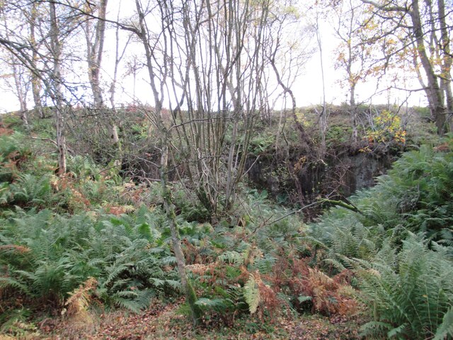
Bellister Wood is a picturesque woodland located in Northumberland, England. Situated in the heart of the North Pennines Area of Outstanding Natural Beauty, this forested area covers an extensive area of approximately 1,200 acres. It is known for its diverse range of flora and fauna, making it a popular spot for nature enthusiasts and wildlife lovers.
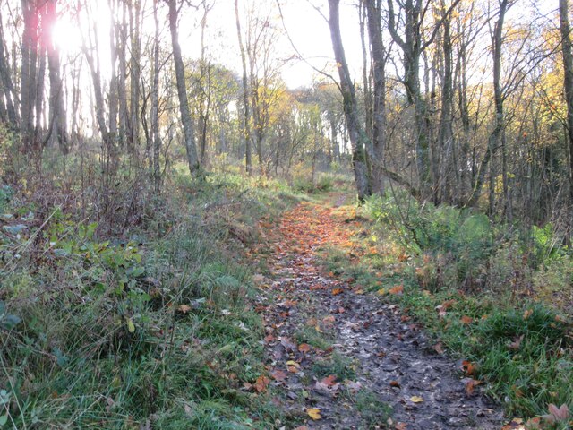
The woodland is predominantly composed of oak, ash, and birch trees, which create a stunning canopy during the summer months. These trees provide a habitat for a variety of bird species, including woodpeckers, owls, and songbirds, making it a haven for birdwatchers. Additionally, the forest floor is adorned with an array of wildflowers, adding bursts of color to the surrounding greenery.
Bellister Wood offers several walking trails that wind through the forest, allowing visitors to explore this enchanting landscape at their own pace. The paths are well-maintained and suitable for all levels of walkers, from casual strollers to more experienced hikers. Along the trails, visitors may come across charming wooden sculptures and benches, providing resting spots and enhancing the overall ambiance of the woodland.
Nature lovers will also have the opportunity to spot various woodland creatures, such as red squirrels, roe deer, and even the occasional badger. The forest is carefully managed to maintain its natural beauty and ecological balance, ensuring the preservation of its diverse ecosystem for future generations to enjoy.
Overall, Bellister Wood in Northumberland is a captivating forest that offers a tranquil escape from the hustle and bustle of everyday life. Its natural beauty, abundant wildlife, and well-maintained trails make it a must-visit destination for those seeking a peaceful and immersive outdoor experience.
If you have any feedback on the listing, please let us know in the comments section below.
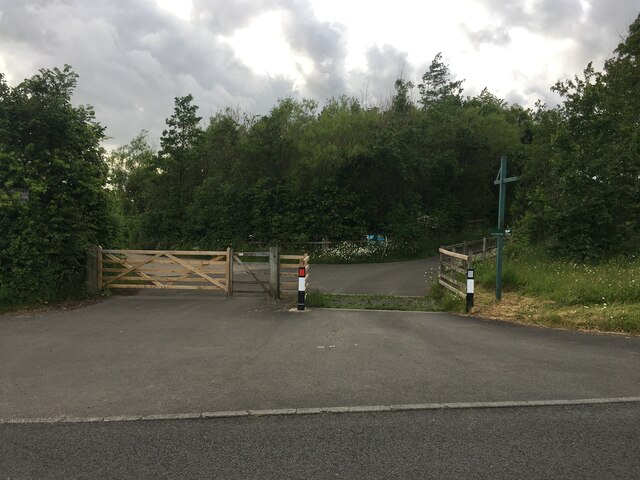
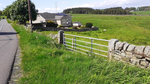
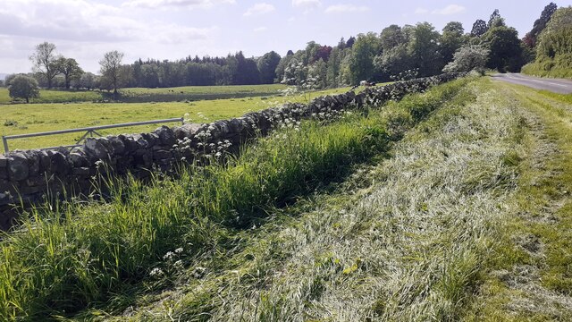
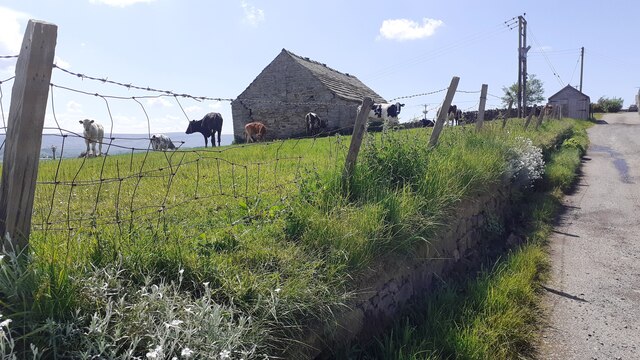
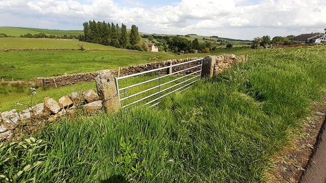
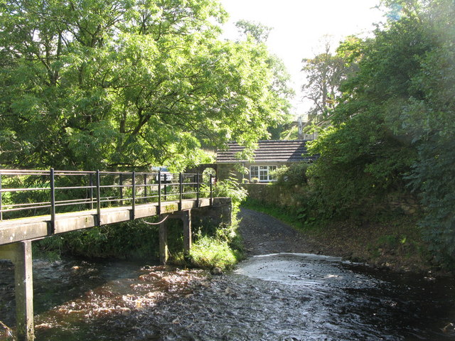
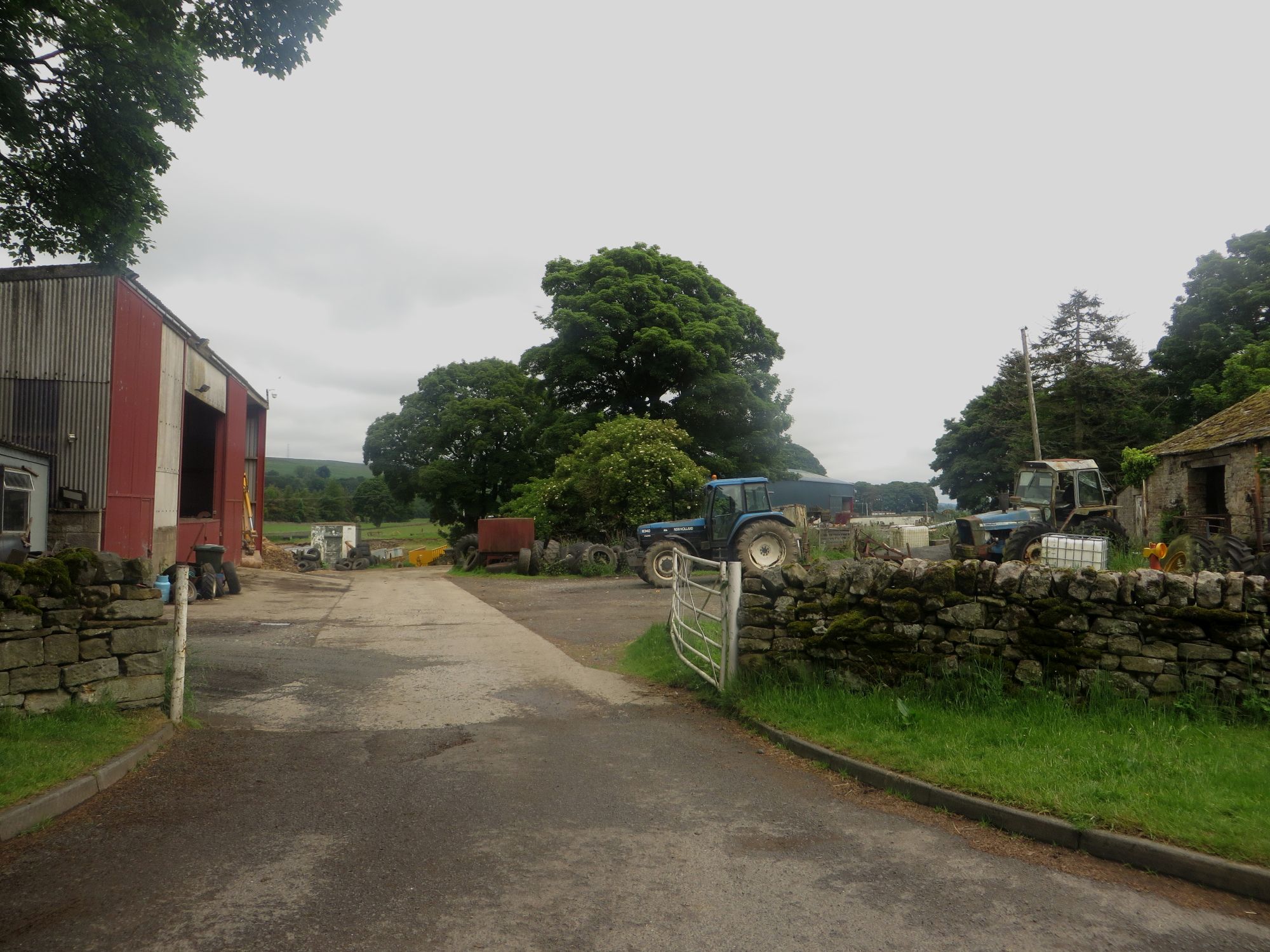
Bellister Wood Images
Images are sourced within 2km of 54.959539/-2.4672329 or Grid Reference NY7062. Thanks to Geograph Open Source API. All images are credited.


Bellister Wood is located at Grid Ref: NY7062 (Lat: 54.959539, Lng: -2.4672329)
Unitary Authority: Northumberland
Police Authority: Northumbria
What 3 Words
///views.scans.greet. Near Haltwhistle, Northumberland
Nearby Locations
Related Wikis

Bellister Castle
Bellister Castle is a National Trust owned castellated 19th-century mansion house attached to the ruinous remains of a 14th-century tower house, near...
Tipalt Burn
Tipalt Burn is a burn which lies to the east of Greenhead, Northumberland. The burn passes several historical sites such as Thirlwall Castle and discharges...

Haltwhistle railway station
Haltwhistle is a railway station on the Tyne Valley Line, which runs between Newcastle and Carlisle via Hexham. The station, situated 22 miles 66 chains...

Burnfoot River Shingle and Wydon Nabb
Burnfoot River Shingle and Wydon Nabb is the name given to a Site of Special Scientific Interest (SSSI) in Northumberland, North East England. Burnfoot...

Haltwhistle War Memorial Hospital
Haltwhistle War Memorial Hospital is a health facility at Greencroft Park, Haltwhistle, Northumberland, England. It is managed by Northumbria Healthcare...

Haltwhistle
Haltwhistle is a market town and civil parish in Northumberland, England, 22.9 miles (36.9 kilometres) east of Carlisle and 36.8 miles (59.2 kilometres...
Plenmeller
Plenmeller is a village and former civil parish, now in the parish of Plenmeller with Whitfield, in Northumberland, England about a mile (1½ km) southeast...
Haltwhistle Castle
Haltwhistle Castle Hill is a ruined Norman earth and timber ringwork fortress in Haltwhistle, Northumberland, England. There are no extant stone remains...
Related Videos

Haltwhistle: The Centre of Britain: No talking just walking #northumberland #walkingtour
Video recorded by Luke Honeythunder on Thursday 17th August 2023 at Haltwhistle, Northumberland, England. Information ...
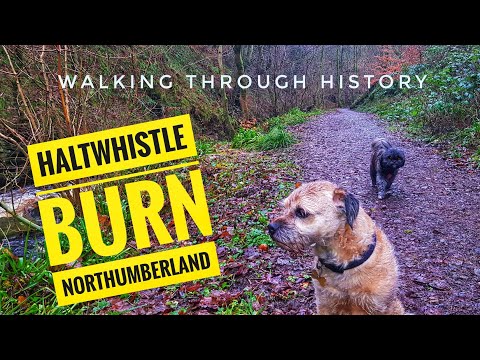
EXPLORING HALTWHISTLE BURN AND LEARNING ABOUT THE HISTORY OF THE AREA.
Haltwhistle is a town in the centre of Britain, today we visited Haltwhistle burn and learned about the history.

Hadrian's Wall Hike
A drive through the Lake District and Northumberland to Haltwhistle and a walk along Hadrian's wall, including Sycamore Gap, ...

Haltwhistle, Northumberland | Town Centre Walk 2020
The delightful little market town of Haltwhistle is located near Hadrian's Wall, by the border between Northumberland and Cumbria ...
Nearby Amenities
Located within 500m of 54.959539,-2.4672329Have you been to Bellister Wood?
Leave your review of Bellister Wood below (or comments, questions and feedback).