Breach Wood

Wood, Forest in Somerset Mendip

England

Breach Wood

Old Milestone, Cockpit Lane, North of Batcombe The milestone is located opposite the entrance to Batcombe Lodge, on the grass verge on the east side of the road. Parish of Batcombe (Mendip District). Carved stone post, Batcombe stone design, erected by the Bruton turnpike trust in the 20th century. 

Inscription reads:-
TO / BATCOMBE / 1¼ / {arrow to right}

Grade II listed. List Entry Number: 1058548 <span class="nowrap"><a title="https://historicengland.org.uk/listing/the-list/list-entry/1058548" rel="nofollow ugc noopener" href="https://historicengland.org.uk/listing/the-list/list-entry/1058548">Link</a><img style="margin-left:2px;" alt="External link" title="External link - shift click to open in new window" src="https://s1.geograph.org.uk/img/external.png" width="10" height="10"/></span>

Milestone Society National ID: SO_BC01
Old Milestone, Cockpit Lane, North of Batcombe Credit: Janet Dowding

Breach Wood is a charming woodland located in Somerset, England. Spanning an area of approximately 100 acres, it is situated near the village of Breach within the beautiful Somerset Levels. This woodland is known for its tranquil and serene environment, making it a popular destination for nature lovers and outdoor enthusiasts.

The wood is predominantly made up of broadleaved trees such as oak, ash, beech, and birch, creating a diverse and rich ecosystem. The dense canopy of trees provides a cool and shaded atmosphere, especially during the summer months. The forest floor is covered with a variety of wildflowers, ferns, and mosses, adding to the natural beauty of the woodland.

Breach Wood is home to a wide range of wildlife, including various bird species, mammals, and insects. Birdwatchers will be delighted to spot species such as woodpeckers, owls, and thrushes among the treetops. Foxes, badgers, and deer are among the mammals that can also be observed in their natural habitat.

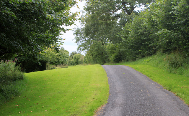
Visitors to Breach Wood can enjoy a peaceful stroll along the well-maintained paths that wind through the woodland. The paths are suitable for all ages and abilities, providing access to the different areas of the wood while allowing visitors to appreciate the diverse flora and fauna.

The wood is open throughout the year, with a small car park available for visitors. It is advisable to bring appropriate footwear and clothing, especially during wet weather. Overall, Breach Wood offers a picturesque and tranquil setting for those seeking a peaceful escape into nature.

If you have any feedback on the listing, please let us know in the comments section below.
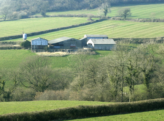
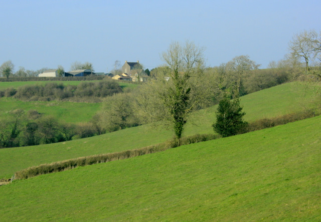
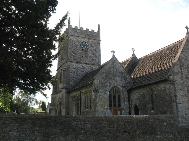
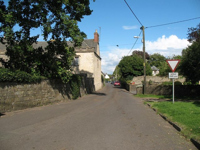
Breach Wood Images

Images are sourced within 2km of 51.170072/-2.429216 or Grid Reference ST7041. Thanks to Geograph Open Source API. All images are credited.

Old Milestone, Cockpit Lane, North of Batcombe The milestone is located opposite the entrance to Batcombe Lodge, on the grass verge on the east side of the road. Parish of Batcombe (Mendip District). Carved stone post, Batcombe stone design, erected by the Bruton turnpike trust in the 20th century. 

Inscription reads:-
TO / BATCOMBE / 1¼ / {arrow to right}

Grade II listed. List Entry Number: 1058548 <span class="nowrap"><a title="https://historicengland.org.uk/listing/the-list/list-entry/1058548" rel="nofollow ugc noopener" href="https://historicengland.org.uk/listing/the-list/list-entry/1058548">Link</a><img style="margin-left:2px;" alt="External link" title="External link - shift click to open in new window" src="https://s1.geograph.org.uk/img/external.png" width="10" height="10"/></span>

Milestone Society National ID: SO_BC01
Old Milestone, Cockpit Lane, North of Batcombe
The milestone is located opposite the entrance to Batcombe Lodge, on the grass verge on the east side of the road. Parish of Batcombe (Mendip District). Carved stone post, Batcombe stone design, erected by the Bruton turnpike trust in the 20th century. Inscription reads:- TO / BATCOMBE / 1¼ / {arrow to right} Grade II listed. List Entry Number: 1058548 LinkExternal link Milestone Society National ID: SO_BC01
Crossroads on the A359 A view looking to the northwest across a crossroads on the A359, towards the stile at the start of the public footpath to Eastcombe Farm.
Crossroads on the A359
A view looking to the northwest across a crossroads on the A359, towards the stile at the start of the public footpath to Eastcombe Farm.
2009 : Bull's Lane, approaching Upton Noble Turn off the A359 at Newhouse Farm and take a look at Upton Noble, worth taking the time.
2009 : Bull's Lane, approaching Upton Noble
Turn off the A359 at Newhouse Farm and take a look at Upton Noble, worth taking the time.
2009 : School bus waiting for traffic on the A359 Coming up Hincombe Hill from Batcombe.
He could be going straight ahead to Upton Noble or turning left to Wanstrow, perhaps both, but not at the same time.
2009 : School bus waiting for traffic on the A359
Coming up Hincombe Hill from Batcombe. He could be going straight ahead to Upton Noble or turning left to Wanstrow, perhaps both, but not at the same time.
2009 : Outbuildings, Lower Eastcombe from the A359 The River Alham runs at the bottom of this valley, one of its sources is near here. It runs on through Ditcheat and joins the Brue near Alford.
A neat bit of rolling on the pastures behind the outbuildings, as good as The Oval on test match day.
2009 : Outbuildings, Lower Eastcombe from the A359
The River Alham runs at the bottom of this valley, one of its sources is near here. It runs on through Ditcheat and joins the Brue near Alford. A neat bit of rolling on the pastures behind the outbuildings, as good as The Oval on test match day.
2009 : Eastcombe Farm from the A359 Looking across the valley formed by the headwaters of the River Alham.
2009 : Eastcombe Farm from the A359
Looking across the valley formed by the headwaters of the River Alham.
Footpath, Upton Noble The footpath follows the hedge towards Bull's Lane.
Footpath, Upton Noble
The footpath follows the hedge towards Bull's Lane.
Leaning signpost on the A359
Rural farmland nr Eastcombe Looking across the valley from A359
Rural farmland nr Eastcombe
Looking across the valley from A359
2011 : South of east from a bridle path off Withy Wood Lane Brickhouse Farm can be seen.
2011 : South of east from a bridle path off Withy Wood Lane
Brickhouse Farm can be seen.
2011 : Above Higher Alham looking east Lodge Farm and Batcombe Lodge are in sight.
2011 : Above Higher Alham looking east
Lodge Farm and Batcombe Lodge are in sight.
St Mary's Church, Wanstrow
Church Street, Wanstrow
2011 : West from the track to Lodge Farm
2011 : South on Cockpit Lane Toward Batcombe.
The name of the lane suggests old pastimes, now illegal.
2011 : South on Cockpit Lane
Toward Batcombe. The name of the lane suggests old pastimes, now illegal.
2011 : Track to Lodge Farm Heading west, a few hundred yards from Cockpit Lane.
2011 : Track to Lodge Farm
Heading west, a few hundred yards from Cockpit Lane.
2011 : Track to Lodge Farm (2) Heading west toward Lodge Farm, about 200 yards to go.
2011 : Track to Lodge Farm (2)
Heading west toward Lodge Farm, about 200 yards to go.
2011 : Track to Cockpit Lane Coming from Lodge Farm.
2011 : Track to Cockpit Lane
Coming from Lodge Farm.
Show me another place!

Breach Wood is located at Grid Ref: ST7041 (Lat: 51.170072, Lng: -2.429216)

Administrative County: Somerset

District: Mendip

Police Authority: Avon and Somerset

What 3 Words

///jetliner.saints.remains. Near Evercreech, Somerset

Nearby Locations

Innox Wood Breach Wood

Related Wikis

Wanstrow railway station

Wanstrow railway station was a small station on the East Somerset Railway serving the village of Wanstrow in Somerset. The East Somerset Railway opened...

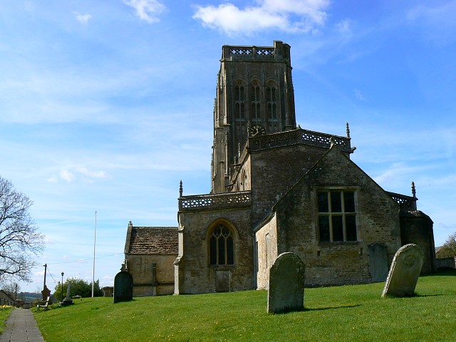
Church of St Mary, Wanstrow

The Anglican Church Of St Mary in Wanstrow, within the English county of Somerset, was built in the 15th century. It is a Grade II* listed building.The...

Wanstrow

Wanstrow is a village and civil parish 6 miles (9.7 km) south west of Frome in Somerset, England. The parish includes the village of Cloford. == History... ==
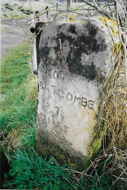
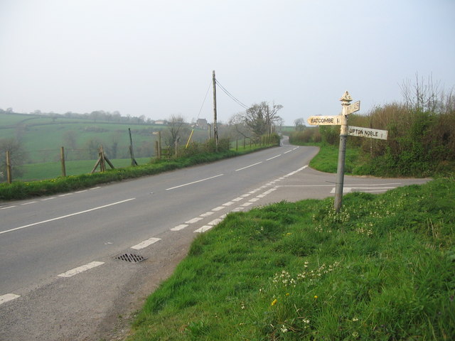
Batcombe, Somerset

Batcombe is a village and civil parish in Somerset, England, situated in the steep valley of the River Alham 5 miles (8 km) south-east of Shepton Mallet...

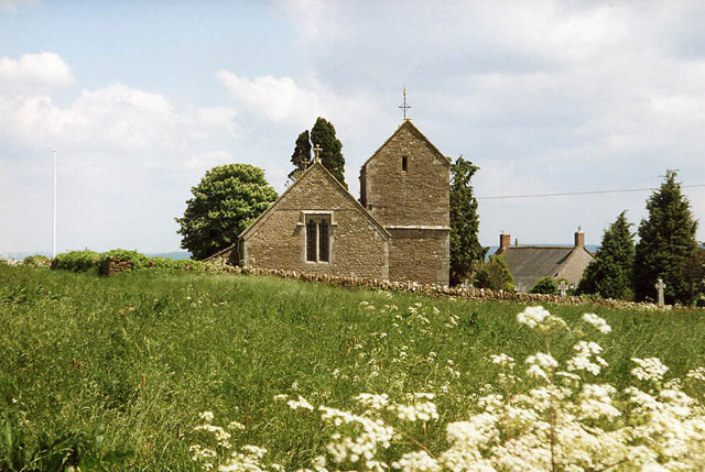
Church of St Mary Magdalene, Upton Noble

The Anglican Church Of St Mary and St John in Upton Noble, within the English county of Somerset, was built in the 12th century. It is a Grade II* listed...

Upton Noble

Upton Noble is a village and civil parish on the River Frome. It is roughly 4.5 miles (7 km) north-east of Bruton, and 7 miles (11 km) from Frome town...

Leighton Road Cutting

Leighton Road Cutting (grid reference ST702437) is a 0.6 hectare geological Site of Special Scientific Interest between East Cranmore and Cloford in Somerset...

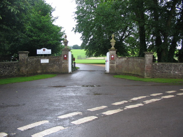
All Hallows Preparatory School

All Hallows School is a non-selective co-educational prep school that provides day and boarding facilities. A Christian School in the Catholic tradition...

Nearby Amenities

Located within 500m of 51.170072,-2.429216
Man Made: windpump
Source: NPE
Lat/Long: 51.1702189/-2.433643
The data included in this document is from www.openstreetmap.org. The data is made available under ODbL.

Have you been to Breach Wood?

Leave your review of Breach Wood below (or comments, questions and feedback).