Ayton's Heath
Wood, Forest in Worcestershire Malvern Hills
England
Ayton's Heath

Ayton's Heath is a picturesque village nestled in the heart of Worcestershire, England. Situated within the renowned Wood Forest, it boasts a serene and idyllic setting, surrounded by lush greenery and stunning natural landscapes.
The village dates back to medieval times, and its rich history is evident in its architecture and charming atmosphere. Traditional cottages and historic buildings line the narrow streets, exuding a timeless charm that transports visitors back in time.
Ayton's Heath is a haven for nature enthusiasts, with its close proximity to Wood Forest offering ample opportunities for outdoor activities. Walking and cycling trails wind through the enchanting woodlands, allowing visitors to explore the area's diverse flora and fauna. Wildlife is abundant, and lucky visitors may catch a glimpse of deer, rabbits, and a variety of bird species.
The village is also home to a number of quaint shops and local businesses, providing residents and visitors with all the essentials and a chance to support the local economy. The village pub, with its cozy atmosphere and friendly locals, is a popular spot for socializing and enjoying traditional British cuisine.
Ayton's Heath enjoys a close-knit community spirit, with various events and festivals held throughout the year. These gatherings bring residents together, fostering a sense of belonging and camaraderie.
In summary, Ayton's Heath is a hidden gem within Worcestershire, offering a perfect blend of natural beauty, history, and community spirit. It is a place where residents and visitors can escape the hustle and bustle of modern life and truly appreciate the tranquility and charm of the English countryside.
If you have any feedback on the listing, please let us know in the comments section below.
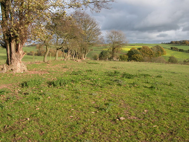
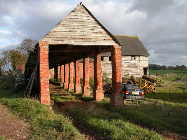
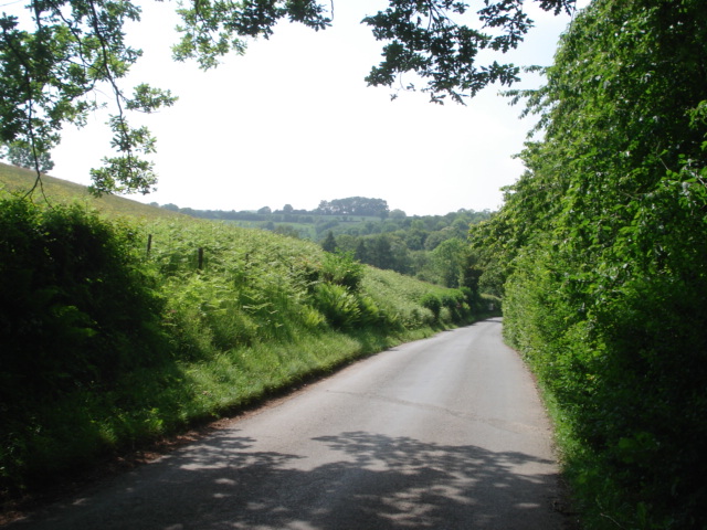
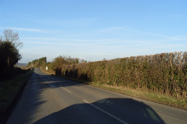
Ayton's Heath Images
Images are sourced within 2km of 52.264591/-2.4402828 or Grid Reference SO7063. Thanks to Geograph Open Source API. All images are credited.


Ayton's Heath is located at Grid Ref: SO7063 (Lat: 52.264591, Lng: -2.4402828)
Administrative County: Worcestershire
District: Malvern Hills
Police Authority: West Mercia
What 3 Words
///airbase.tags.theme. Near Collington, Herefordshire
Nearby Locations
Related Wikis

Sapey Common
Sapey Common is a small village in Herefordshire, England, near the border with Worcestershire, 10 km (6.2 mi) north east of Bromyard . Although the area...

Lower Sapey
Lower Sapey is a village and civil parish in the Malvern Hills District in the county of Worcestershire, England. Sapey Pritchard was in the upper division...
Upper Sapey
Upper Sapey is a small village and civil parish in Herefordshire, England. It is located 4 miles (6 km) northeast of Bromyard. The population of this civil...
Clifton upon Teme
Clifton upon Teme is a village and civil parish in the Malvern Hills District in the county of Worcestershire, England. == Amenities == Named after the...

Shelsley Walsh
Shelsley Walsh is a small village and civil parish in Worcestershire, England, on the western side of the River Teme. For administrative purposes it is...
Shelsleys
The Shelsleys are a group of small villages in the Malvern Hills District in the county of Worcestershire, England. Situated on either wide of the Teme...
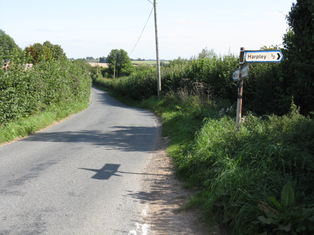
Harpley, Worcestershire
Harpley is a hamlet in Worcestershire, England.

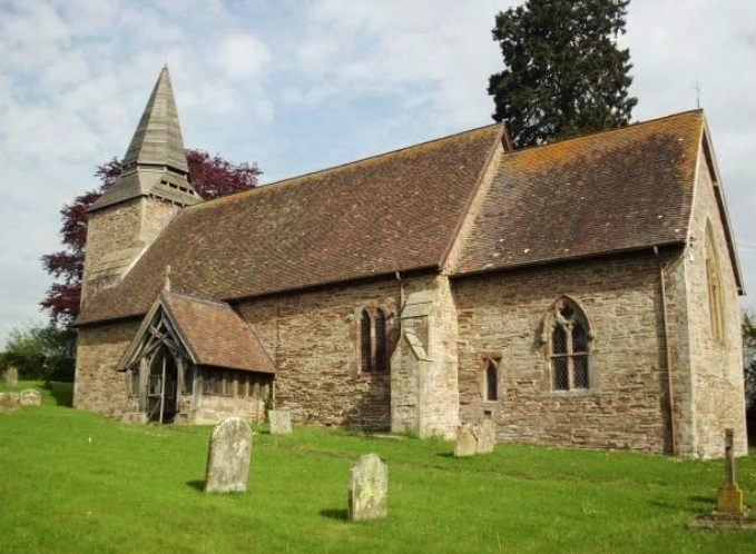
Old St Bartholomew's Church, Lower Sapey
Old St Bartholomew's Church is a redundant Anglican church near the village of Lower Sapey, Worcestershire, England. It is recorded in the National Heritage...
Nearby Amenities
Located within 500m of 52.264591,-2.4402828Have you been to Ayton's Heath?
Leave your review of Ayton's Heath below (or comments, questions and feedback).