Boddenham's Coppice
Wood, Forest in Somerset Mendip
England
Boddenham's Coppice
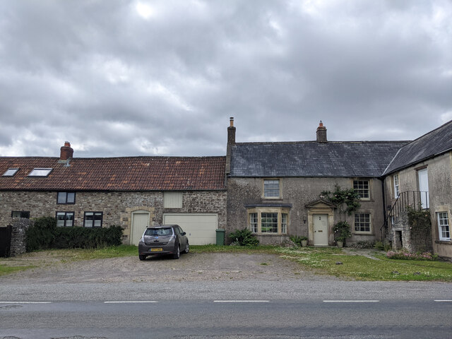
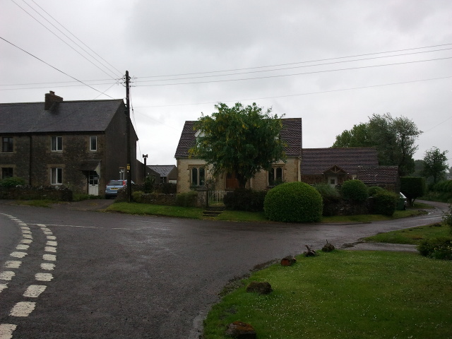
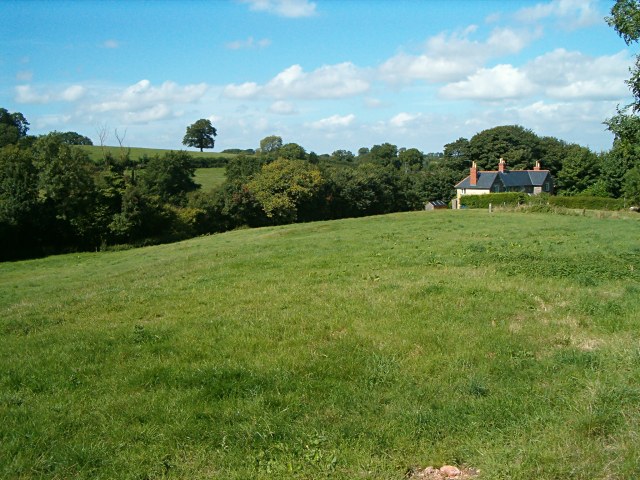
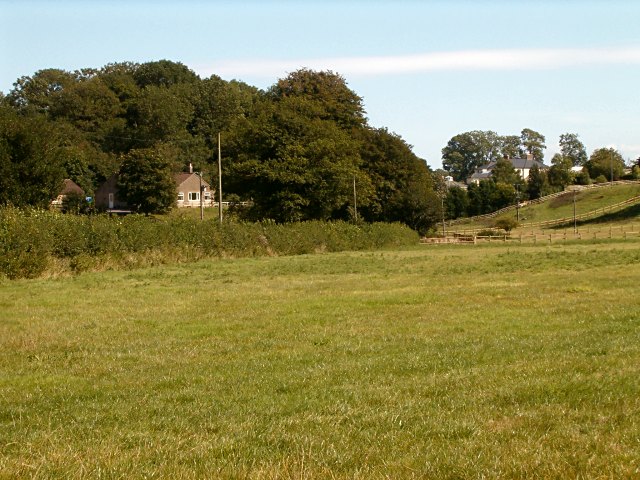
Boddenham's Coppice is a picturesque woodland located in Somerset, England. Covering an area of approximately 50 acres, it is renowned for its natural beauty and diverse flora and fauna. The coppice is situated on the outskirts of the village of Boddenham, surrounded by rolling hills and farmland.
The woodland is predominantly composed of native broadleaf trees such as oak, ash, beech, and birch, which create a stunning canopy of greenery throughout the year. These trees provide a rich habitat for a variety of wildlife, including birds, mammals, and insects. Visitors can spot species such as tawny owls, woodpeckers, deer, and foxes while walking through the forest.
Boddenham's Coppice is also known for its wildflowers, which bloom in abundance during the spring and summer months. Bluebells, primroses, and wild garlic carpet the forest floor, creating a vibrant and fragrant display. The woodland is a haven for botanists and nature enthusiasts, who come to study and appreciate the diverse plant life.
The site is well-maintained, with clearly marked trails and footpaths that allow visitors to explore and enjoy the woodland at their leisure. There are also picnic areas and benches scattered throughout the forest, providing ideal spots for relaxation and taking in the tranquil surroundings.
Boddenham's Coppice is a popular destination for both locals and tourists alike, offering a peaceful escape from the hustle and bustle of everyday life. Its natural beauty and ecological importance make it a valuable asset to the Somerset countryside.
If you have any feedback on the listing, please let us know in the comments section below.
Boddenham's Coppice Images
Images are sourced within 2km of 51.216112/-2.4312621 or Grid Reference ST6946. Thanks to Geograph Open Source API. All images are credited.
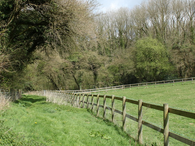
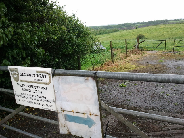
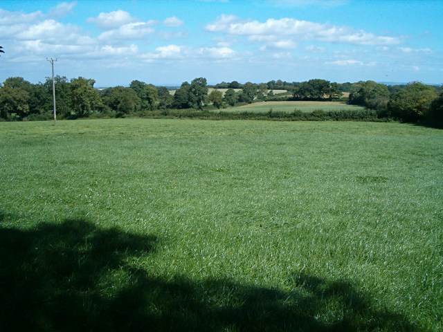
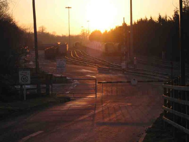
![2011 : Track through Asham Wood Wikipedia has this to say:
&quot;Asham Wood is the largest and most diverse of the ancient semi-natural woods in the Mendips. It has been the subject of controversy and attempts to protect the environment from increased quarrying activity in the area.
The wood occupies 2 deep valleys and the intervening plateau. Most of the underlying rocks are calcareous Carboniferous Limestone and Shales, but Devonian Portishead Beds outcrop along the northern valley. There [is] a range of unusual flora and fauna.
At Asham Wood near Frome coppicing and 50 dormouse boxes have been introduced in order to encourage nesting. The boxes are monitored and dormice numbers are recorded.&quot; <span class="nowrap"><a title="http://en.wikipedia.org/wiki/Asham_Wood" rel="nofollow ugc noopener" href="http://en.wikipedia.org/wiki/Asham_Wood">Link</a><img style="margin-left:2px;" alt="External link" title="External link - shift click to open in new window" src="https://s1.geograph.org.uk/img/external.png" width="10" height="10"/></span>
The only access to Asham Wood from the road is on the north east edge near Dead Womans Bottom, otherwise it is by footpath.](https://s0.geograph.org.uk/geophotos/02/35/76/2357688_98ea92cb.jpg)
![2011 : Track through Asham Wood Wikipedia has this to say:
&quot;Asham Wood is the largest and most diverse of the ancient semi-natural woods in the Mendips. It has been the subject of controversy and attempts to protect the environment from increased quarrying activity in the area.
The wood occupies 2 deep valleys and the intervening plateau. Most of the underlying rocks are calcareous Carboniferous Limestone and Shales, but Devonian Portishead Beds outcrop along the northern valley. There [is] a range of unusual flora and fauna.
At Asham Wood near Frome coppicing and 50 dormouse boxes have been introduced in order to encourage nesting. The boxes are monitored and dormice numbers are recorded.&quot; <span class="nowrap"><a title="http://en.wikipedia.org/wiki/Asham_Wood" rel="nofollow ugc noopener" href="http://en.wikipedia.org/wiki/Asham_Wood">Link</a><img style="margin-left:2px;" alt="External link" title="External link - shift click to open in new window" src="https://s1.geograph.org.uk/img/external.png" width="10" height="10"/></span>
The only access to Asham Wood from the road is on the north east edge near Dead Womans Bottom, otherwise it is by footpath.](https://s0.geograph.org.uk/geophotos/02/35/77/2357700_9db66174.jpg)

Boddenham's Coppice is located at Grid Ref: ST6946 (Lat: 51.216112, Lng: -2.4312621)
Administrative County: Somerset
District: Mendip
Police Authority: Avon and Somerset
What 3 Words
///runners.corrects.basic. Near Chilcompton, Somerset
Nearby Locations
Related Wikis

Asham Wood
Asham Wood (grid reference ST705460) is a 140.6-hectare (347-acre) biological Site of Special Scientific Interest east of Downhead and south of Leigh-on...
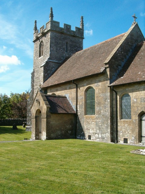
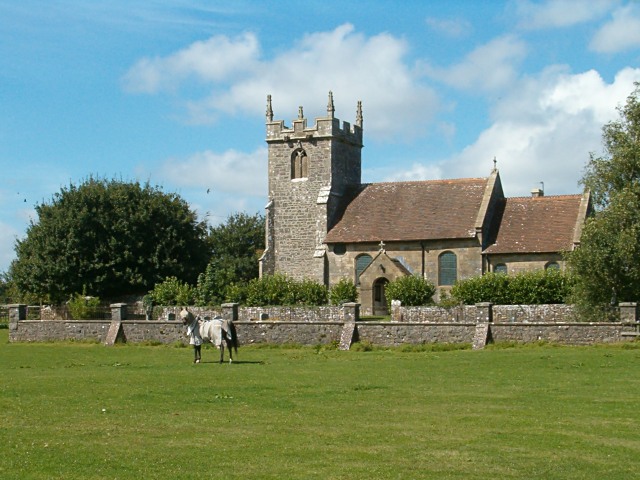
Church of All Saints, Downhead
The Anglican Church Of All Saints in Downhead, within the English county of Somerset, dates from the 14th century. It is a Grade II* listed building.The...
Downhead
Downhead is a village and civil parish close to Leigh-on-Mendip and 5 miles (8 km) north east of Shepton Mallet, in the Mendip district of Somerset, England...

Halecombe
Halecombe is a limestone quarry near Leigh-on-Mendip on the Mendip Hills, Somerset, England. The quarry exhibits pale to dark grey well-bedded Carboniferous...

Leigh-on-Mendip
Leigh-on-Mendip or Leigh upon Mendip (on Ordnance Survey maps) is a small village on the Mendip Hills in Somerset, England. It lies roughly equidistant...
Torr Works
Torr Works quarry, grid reference ST695446 is a limestone quarry at East Cranmore, near Shepton Mallet on the Mendip Hills, Somerset, England. The quarry...
Dinies Camp
Dinies Camp is a univallate Iron Age hill fort enclosure in the Mendip district of Somerset, England. The hill fort is situated approximately 1 mile (1...
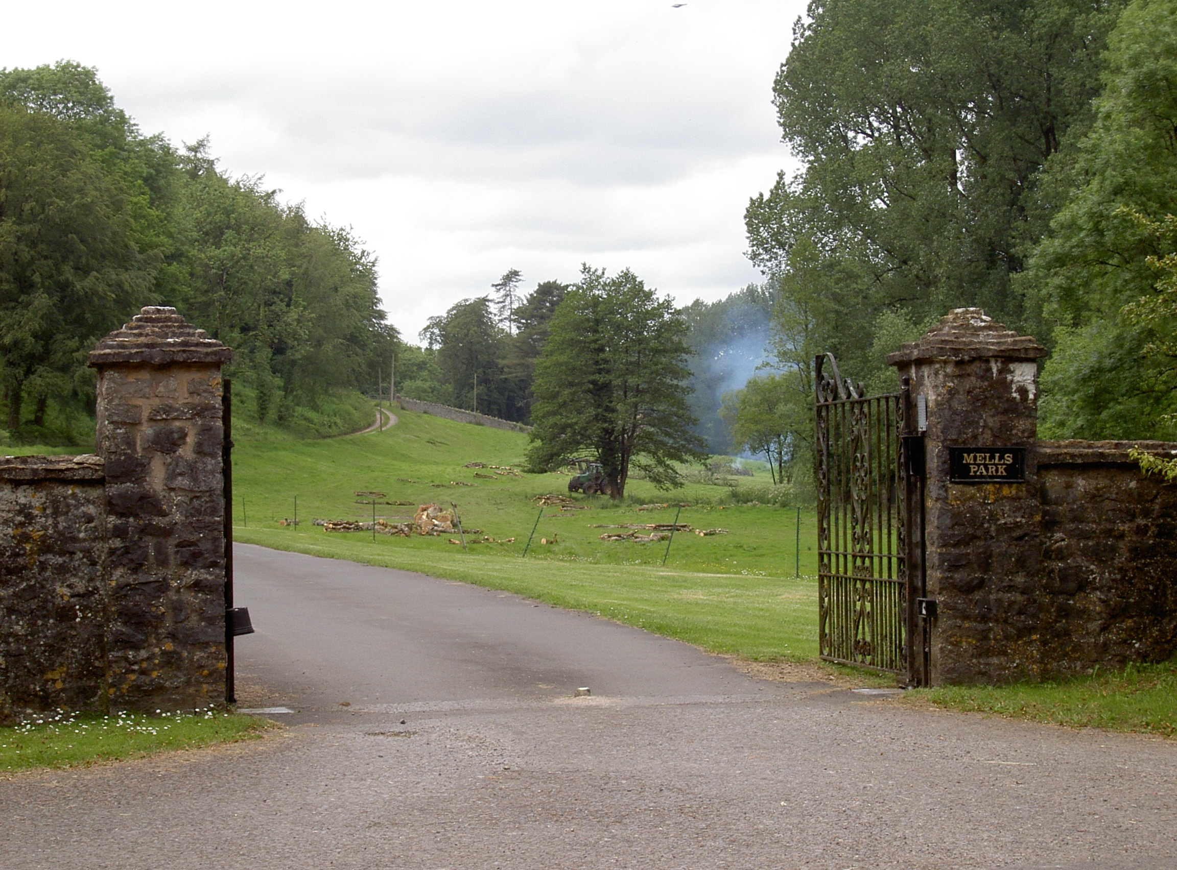
Mells Park
Mells Park is a country estate of 140 hectares (350 acres) near Mells, Somerset, England. It originated as a 17th-century deer park, probably created by...
Nearby Amenities
Located within 500m of 51.216112,-2.4312621Have you been to Boddenham's Coppice?
Leave your review of Boddenham's Coppice below (or comments, questions and feedback).