Blakemore Wood

Wood, Forest in Gloucestershire Forest of Dean

England

Blakemore Wood

Small field by the A4136 A low-lying damp piece of ground.
Small field by the A4136 Credit: Jonathan Billinger

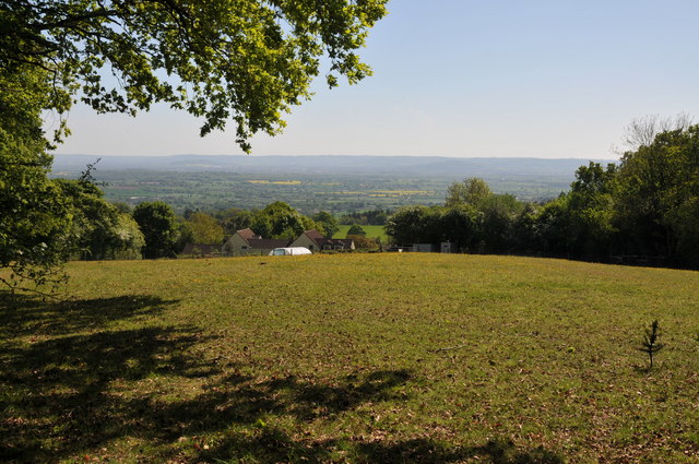
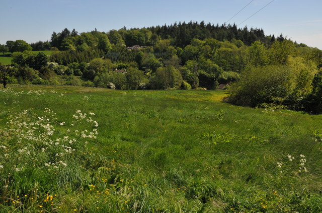
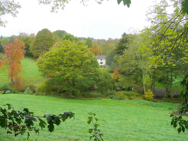
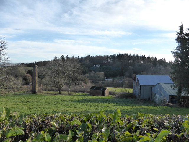
Blakemore Wood is a charming and picturesque forest located in the county of Gloucestershire, England. Spanning across a vast area of approximately 500 acres, this woodland is a haven for nature enthusiasts and those seeking tranquility amidst nature's beauty.

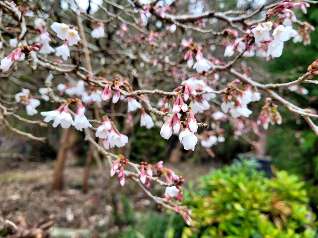
The wood is predominantly composed of ancient deciduous trees, including oak, beech, and birch, which create a lush green canopy that provides shade and shelter to a variety of flora and fauna. The forest floor is covered with a rich carpet of ferns, bluebells, and wildflowers, adding to its enchanting ambiance.

Blakemore Wood is home to a diverse range of wildlife, including deer, foxes, badgers, and a plethora of birds. Birdwatchers can spot species such as woodpeckers, owls, and various songbirds, making it a paradise for ornithologists and bird enthusiasts.

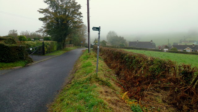
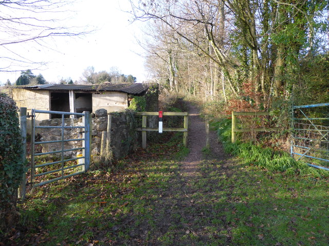
The woodland is crisscrossed by several well-maintained trails, which offer visitors the opportunity to explore and discover the natural wonders it harbors. These trails are suitable for both leisurely walks and more challenging hikes, catering to all fitness levels.

In addition to its natural beauty, Blakemore Wood also boasts a rich cultural and historical heritage. It is believed to have had human presence dating back to the Roman era, with evidence of ancient settlements and burial grounds. The wood has been an important resource for timber and charcoal production throughout history.

Blakemore Wood is a hidden gem, offering visitors a chance to immerse themselves in the serenity of nature and experience the awe-inspiring beauty of Gloucestershire's countryside. Whether it's a leisurely stroll, a wildlife encounter, or a historical exploration, this enchanting woodland has something to offer for everyone.

If you have any feedback on the listing, please let us know in the comments section below.

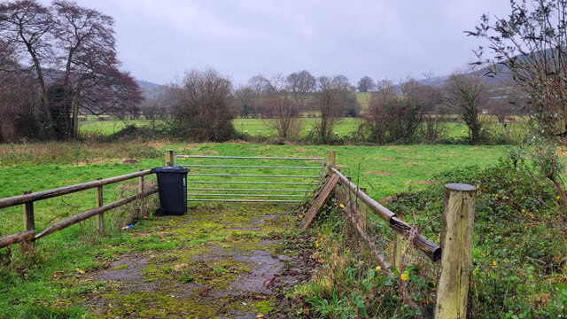
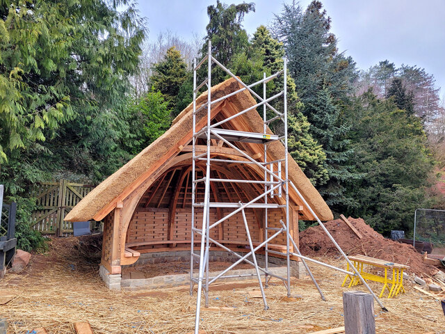
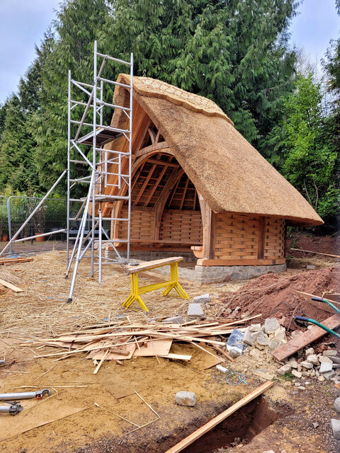
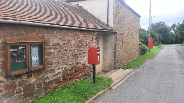
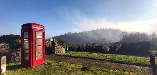
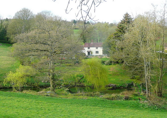
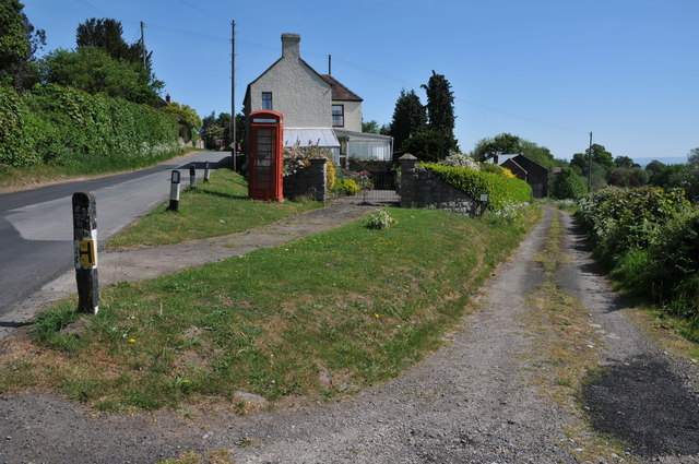
Blakemore Wood Images

Images are sourced within 2km of 51.865729/-2.437944 or Grid Reference SO6918. Thanks to Geograph Open Source API. All images are credited.

Small field by the A4136 A low-lying damp piece of ground.
Small field by the A4136
A low-lying damp piece of ground.
Two engineering businesses Interrelated businesses on the Huntley Business Park.
Two engineering businesses
Interrelated businesses on the Huntley Business Park.
New building at Leaf Creative, 14 Thatching is complete.
New building at Leaf Creative, 14
Thatching is complete.
Trachelospermum jasminoides, Star Jasmine Evergreen trailing or climbing shrub produces white star-like jasmine-scented flowers from June to first frost.
It also can turn this gorgeous colour in winter when located in full sun.
Trachelospermum jasminoides, Star Jasmine
Evergreen trailing or climbing shrub produces white star-like jasmine-scented flowers from June to first frost. It also can turn this gorgeous colour in winter when located in full sun.
Winter trees Edge of woodland near Huntley on the last day of 2023.
Winter trees
Edge of woodland near Huntley on the last day of 2023.
New building at Leaf Creative, 15
Prunus Kojo-No-Mai Early-flowering ornamental cherry.
Prunus Kojo-No-Mai
Early-flowering ornamental cherry.
May Hill Village facilities Notice board, post box and phone box. The latter is now an information hub for the village.
May Hill Village facilities
Notice board, post box and phone box. The latter is now an information hub for the village.
Public Telephone Box with Fog Covered Bright's Hill Beyond
Dream cottage This place is a feature of my daily commute to Gloucester. View to the north of the A40 on a light spring evening.
Dream cottage
This place is a feature of my daily commute to Gloucester. View to the north of the A40 on a light spring evening.
Track in May Hill Village On the eastern slopes of May Hill there are a number of narrow lanes and track such as this one pictured here.  I returned to this same spot in September 2017 <a href="https://www.geograph.org.uk/photo/5526491">SO7020 : Decommissioned telephone box</a>.
Track in May Hill Village
On the eastern slopes of May Hill there are a number of narrow lanes and track such as this one pictured here. I returned to this same spot in September 2017 SO7020 : Decommissioned telephone box.
View across the Vale of Gloucester View across the Vale of Gloucester from the slopes of May Hill.  The Cotswold Hills are on the horizon.
View across the Vale of Gloucester
View across the Vale of Gloucester from the slopes of May Hill. The Cotswold Hills are on the horizon.
Bright's Hill Bright's Hill is a wooded hill on the east side of May Hill.
Bright's Hill
Bright's Hill is a wooded hill on the east side of May Hill.
Dream cottage in autumn The same view (almost) as in <a href="https://www.geograph.org.uk/photo/2343022">SO7020 : Dream cottage</a> nearly seven months on.
Dream cottage in autumn
The same view (almost) as in SO7020 : Dream cottage nearly seven months on.
Dursley Cross The gridline crosses the scene just about where the bridleway sign stands.
Dursley Cross
The gridline crosses the scene just about where the bridleway sign stands.
Scene below May Hill village, Glos A fairly typical local scene of scattered cottages, old workings, rolling hills and woods.
Scene below May Hill village, Glos
A fairly typical local scene of scattered cottages, old workings, rolling hills and woods.
Path near May Hill village, Glos An old pig-sty maybe by the side of the path here.
Path near May Hill village, Glos
An old pig-sty maybe by the side of the path here.
Road junction at Huntley Depicts the A40 viewed from the upper deck of the number 24 bus on the A4136 at traffic lights in Huntley. Note the sign notifying drivers about impending roadworks, a common feature here!
Road junction at Huntley
Depicts the A40 viewed from the upper deck of the number 24 bus on the A4136 at traffic lights in Huntley. Note the sign notifying drivers about impending roadworks, a common feature here!
Show me another place!

Blakemore Wood is located at Grid Ref: SO6918 (Lat: 51.865729, Lng: -2.437944)

Administrative County: Gloucestershire

District: Forest of Dean

Police Authority: Gloucestershire

What 3 Words

///paramedic.create.greet. Near Longhope, Gloucestershire

Nearby Locations

Blakemore Wood

Related Wikis

The Mount, Nottswood Hill

The Mount, Nottswood Hill, is a grade II listed house near Blaisdon in Gloucestershire. The house is thought to have been rebuilt in the later nineteenth...

Longhope Hill

Longhope Hill (grid reference SO693185) is a 0.2-hectare (0.49-acre) geological Site of Special Scientific Interest in Gloucestershire, notified in 1989...

Longhope railway station

Longhope railway station is a disused stone-built railway station that served the village of Longhope in Gloucestershire, England. Opened in 1855 with...

Hobbs Quarry SSSI, Longhope

Hobbs Quarry, Longhope (grid reference SO695195) is a 1-hectare (2.5-acre) geological and biological Site of Special Scientific Interest in Gloucestershire...

Longhope

Longhope is a village in west Gloucestershire, situated within the Forest of Dean, England, United Kingdom. Arthur Bullock, who was born in Longhope in...

Blaisdon Hall

Blaisdon Hall (grid reference SO698170) is a Grade II* listed building at Blaisdon. It includes a 0.07-hectare (0.17-acre) biological Site of Special Scientific...

Blaisdon

Blaisdon is a village and civil parish in the Forest of Dean of Gloucestershire, England, about ten miles west of Gloucester. Its population in 2005 was...

Wood Green Quarry & Railway Cutting

Wood Green Quarry & Railway Cutting (grid reference SO694166) is a 0.3-hectare (0.74-acre) geological Site of Special Scientific Interest in Gloucestershire...

Nearby Amenities

Located within 500m of 51.865729,-2.437944
Bus Stop
Chapel Lane
Naptan AtcoCode: 1600GL2931
Naptan Bearing: W
Naptan BusStopType: CUS
Naptan CommonName: Chapel Lane
Naptan NaptanCode: gloamjda
Naptan Street: A4136
Naptan Verified: no
Source: naptan_import
Lat/Long: 51.8629552/-2.4352895
Bus Stop
Chapel Lane
Naptan AtcoCode: 1600GL2932
Naptan Bearing: E
Naptan CommonName: Chapel Lane
Naptan Indicator: Opp
Naptan NaptanCode: gloamjdg
Naptan Street: A4136
Naptan Verified: no
Source: naptan_import
Lat/Long: 51.8630597/-2.4352446
Bus Stop
Zion Hill
Naptan AtcoCode: 1600GL5459
Naptan Bearing: W
Naptan CommonName: Zion Hill
Naptan NaptanCode: gloamgdm
Naptan Street: A4136
Naptan Verified: no
Source: naptan_import
Lat/Long: 51.8638523/-2.4423521
Bus Stop
Zion Hill
Naptan AtcoCode: 1600GL5460
Naptan Bearing: SE
Naptan CommonName: Zion Hill
Naptan Indicator: Opp
Naptan NaptanCode: gloamgdj
Naptan Street: Old Hill
Naptan Verified: no
Source: naptan_import
Lat/Long: 51.8639774/-2.4426556
Power: pole
Lat/Long: 51.8646045/-2.4326261
Power: pole
Lat/Long: 51.8635873/-2.4336138
Power: pole
Lat/Long: 51.8646482/-2.4335884
Power: pole
Lat/Long: 51.8638126/-2.4335925
Power: pole
Lat/Long: 51.8645405/-2.4317792
Power: pole
Lat/Long: 51.8642391/-2.4336783
Hazelden
Building: yes
Source: OS OpenData StreetView
Lat/Long: 51.8640769/-2.4432129
Royal Spring Farm
Building: yes
Source: OS OpenData StreetView
Lat/Long: 51.8633646/-2.4401939
Hopehill
Building: yes
Source: OS OpenData StreetView
Lat/Long: 51.865666/-2.4423321
Zion House
Building: yes
Source: OS OpenData StreetView
Wikidata: Q26481744
Lat/Long: 51.8637721/-2.4422044
Peartree Cottage
Building: yes
Source: OS OpenData StreetView
Lat/Long: 51.8642227/-2.4404352
Little Blakemore Farm
Place: locality
Source: OS OpenData StreetView
Lat/Long: 51.8641776/-2.4395716
Post Box
Post Box Type: lamp
Ref: GL17 66
Royal Cypher: EIIR
Royal Cypher Wikidata: Q33102113
Lat/Long: 51.8629479/-2.4352232
Note: red phone box has been removed
Removed Amenity: telephone
Lat/Long: 51.8629425/-2.4352719
The data included in this document is from www.openstreetmap.org. The data is made available under ODbL.

Have you been to Blakemore Wood?

Leave your review of Blakemore Wood below (or comments, questions and feedback).