Glover's Moss
Wood, Forest in Cheshire
England
Glover's Moss
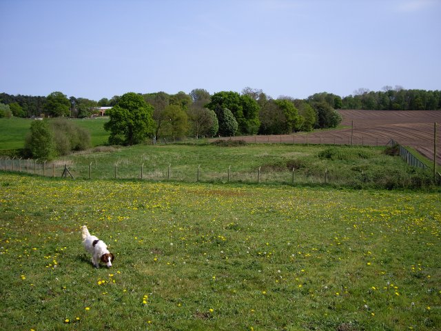
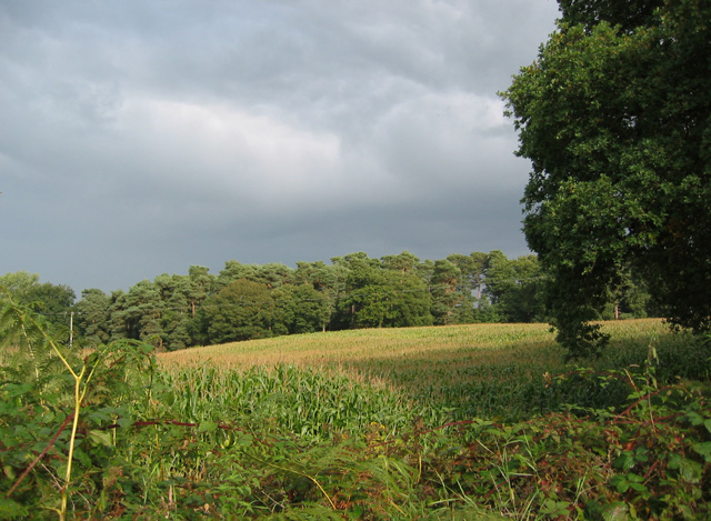
Glover's Moss is a picturesque woodland located in the county of Cheshire, England. Situated near the village of Norley, it is a popular destination for nature enthusiasts and outdoor lovers. The moss covers an area of approximately 40 hectares, providing a serene and tranquil environment for visitors to explore.
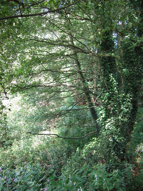
The woodland is primarily composed of a mix of oak, ash, beech, and birch trees, creating a diverse and vibrant ecosystem. The dense canopy provides shade and shelter for a variety of wildlife, including birds, squirrels, and deer, making it a haven for nature photographers and birdwatchers.
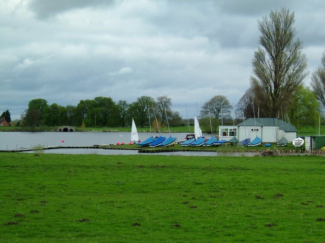
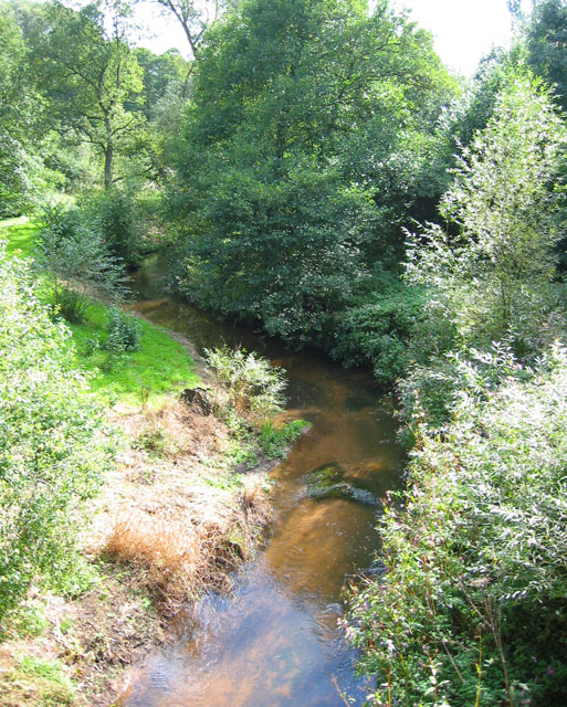
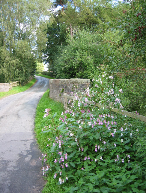
Glover's Moss offers several well-maintained footpaths, allowing visitors to wander through its enchanting forest. The paths wind through the moss, leading to a small stream and a beautiful pond, adding to the area's natural charm. Along the way, one may come across patches of wildflowers, adding a splash of color to the serene green landscape.
The moss is also known for its historical significance, as it is believed to have been a hiding place for local villagers during times of conflict. There are remnants of ancient boundaries and ditches scattered throughout the woodland, serving as a reminder of its past.
For those seeking a peaceful retreat in nature, Glover's Moss in Cheshire is a must-visit destination. Its idyllic setting, diverse flora and fauna, and historical significance make it a truly enchanting woodland to explore and appreciate.
If you have any feedback on the listing, please let us know in the comments section below.
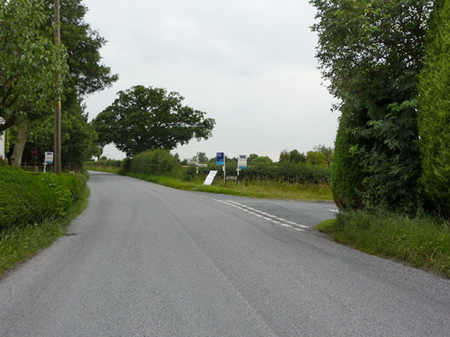
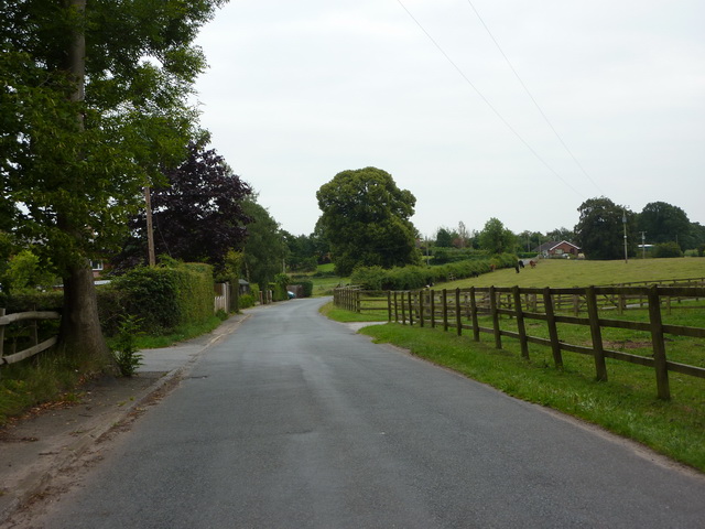
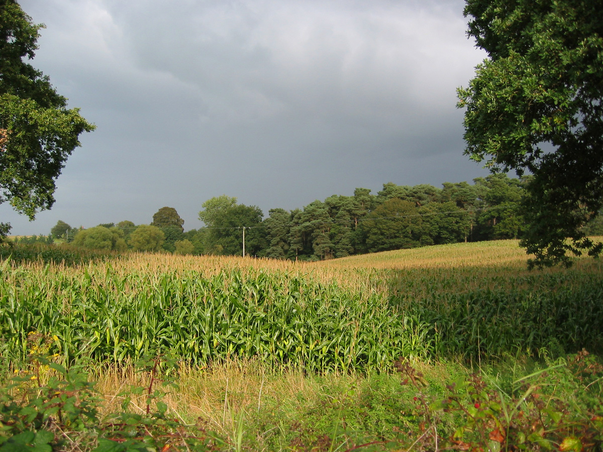
Glover's Moss Images
Images are sourced within 2km of 53.017401/-2.4531589 or Grid Reference SJ6946. Thanks to Geograph Open Source API. All images are credited.


Glover's Moss is located at Grid Ref: SJ6946 (Lat: 53.017401, Lng: -2.4531589)
Unitary Authority: Cheshire East
Police Authority: Cheshire
What 3 Words
///cassettes.goat.transit. Near Audlem, Cheshire
Nearby Locations
Related Wikis

South Cheshire Way
The South Cheshire Way is a 34-mile (55 km) long-distance footpath running east–west mainly through Cheshire, England, although parts lie in Shropshire...
Hunsterson
Hunsterson is a hamlet (at SJ697461) and former civil parish, now in the parish of Doddington and District, in the unitary authority area of Cheshire East...
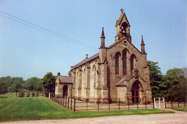
St John's Church, Doddington
St John's Church, Doddington, is located off Hunsterson Road in the grounds of Doddington Hall, Cheshire, England. It is an active Anglican parish church...
Hatherton, Cheshire
Hatherton is a hamlet and civil parish in the unitary authority of Cheshire East and the ceremonial county of Cheshire, England. The hamlet is on the B5071...

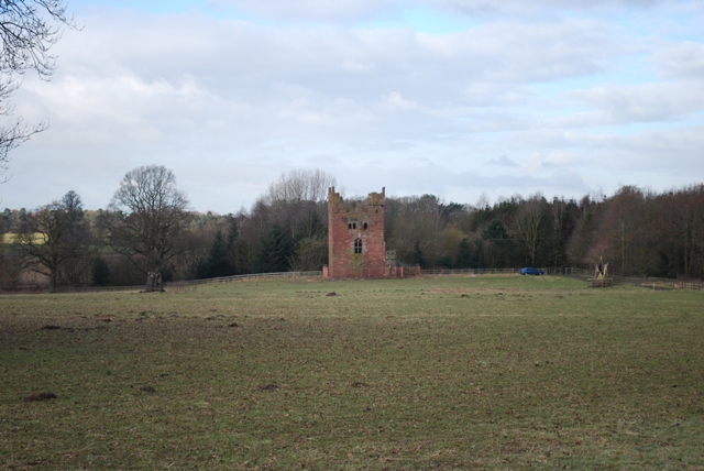
Delves Hall
Delves Hall, also known as Doddington Castle, is a fortified structure in Doddington Park to the north of Doddington Hall in the civil parish of Doddington...

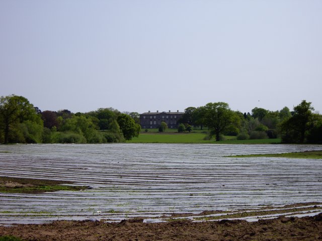
Doddington Hall, Cheshire
Doddington Hall is a country house in Doddington Park in the civil parish of Doddington, Cheshire, England. It is recorded in the National Heritage List...
Doddington, Cheshire
Doddington is a former civil parish, now in the parish of Doddington and District, in the unitary authority area of Cheshire East and the ceremonial county...

Walgherton
Walgherton is a village and civil parish in the unitary authority of Cheshire East and the ceremonial county of Cheshire, England. The village lies at...
Nearby Amenities
Located within 500m of 53.017401,-2.4531589Have you been to Glover's Moss?
Leave your review of Glover's Moss below (or comments, questions and feedback).