Dog Kennel Plantation

Wood, Forest in Lancashire

England

Dog Kennel Plantation

Gateway to Smithills Hall Smithills Hall is a grade I listed building. The gateposts are probably C19.
Gateway to Smithills Hall Credit: Phil and Juliette Platt

Dog Kennel Plantation is a picturesque woodland area located in Lancashire, England. Situated in the heart of the county, this enchanting plantation is known for its abundant wood and forest cover, making it a haven for nature enthusiasts and dog owners alike.

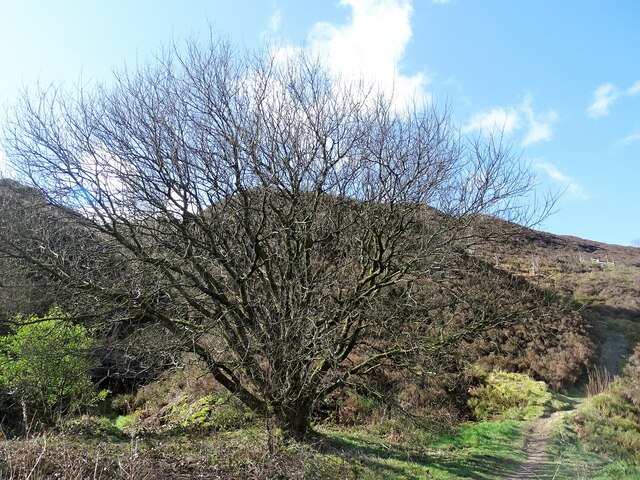
Covering an area of approximately 100 acres, Dog Kennel Plantation offers a diverse range of flora and fauna. The woodland is predominantly composed of mature trees such as oak, beech, and birch, providing a lush green canopy during the summer months. The forest floor is carpeted with a variety of wildflowers, ferns, and mosses, creating a vibrant and colorful landscape.

The plantation is crisscrossed by a network of well-maintained trails and footpaths, allowing visitors to explore and enjoy the natural beauty of the area. Dog owners particularly appreciate the designated dog-friendly trails, where they can walk and exercise their pets in a safe and controlled environment. The presence of a dedicated dog kennel within the plantation further adds to its appeal for dog owners.

This woodland paradise is also a habitat for numerous wildlife species. Visitors may spot squirrels darting through the trees, or perhaps catch a glimpse of deer grazing in the distance. Birdwatchers will delight in the opportunity to observe a variety of avian species, including woodpeckers, owls, and various songbirds.

Overall, Dog Kennel Plantation in Lancashire offers a tranquil and idyllic setting for nature lovers, dog owners, and anyone seeking solace in the midst of nature's splendor. Whether it's a leisurely stroll, a dog walk, or birdwatching, this woodland retreat promises a truly enchanting experience for all who visit.

If you have any feedback on the listing, please let us know in the comments section below.

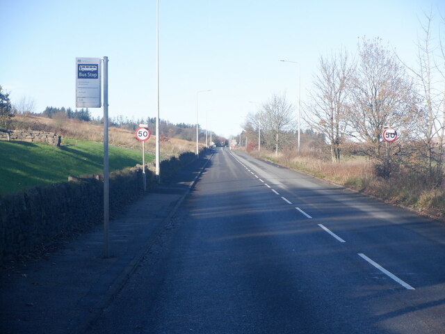
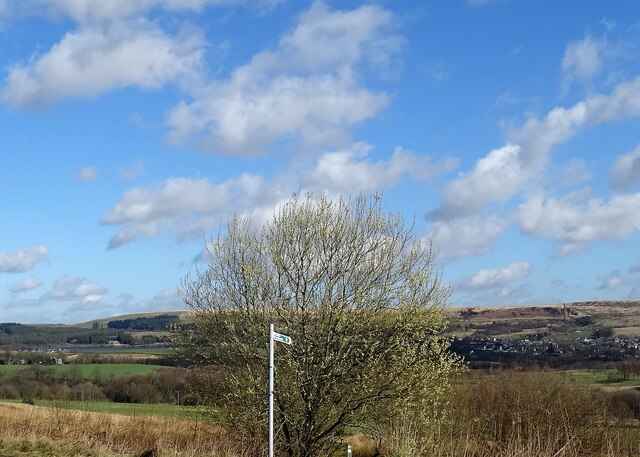
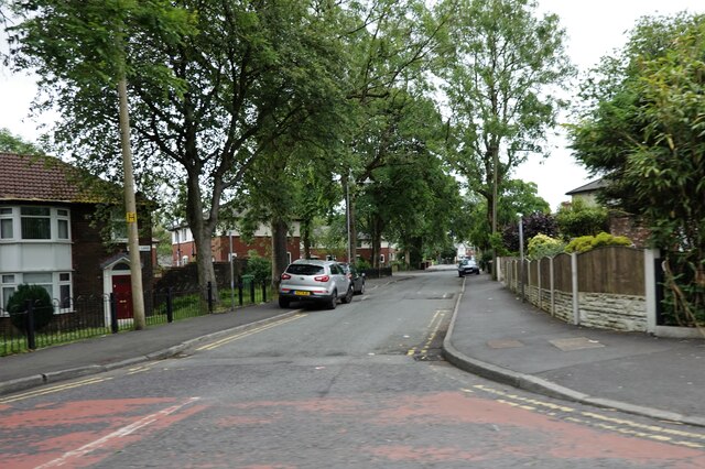
Dog Kennel Plantation Images

Images are sourced within 2km of 53.603535/-2.4595332 or Grid Reference SD6911. Thanks to Geograph Open Source API. All images are credited.

Gateway to Smithills Hall Smithills Hall is a grade I listed building. The gateposts are probably C19.
Gateway to Smithills Hall
Smithills Hall is a grade I listed building. The gateposts are probably C19.
Formal garden at Smithills Hall To the right is the Victorian extension to the house, and to the left is the chapel which was reconstructed circa 1856 after a fire destroyed the original. The garden is maintained by a volunteer group, the Friends of Smithills Hall.
Formal garden at Smithills Hall
To the right is the Victorian extension to the house, and to the left is the chapel which was reconstructed circa 1856 after a fire destroyed the original. The garden is maintained by a volunteer group, the Friends of Smithills Hall.
Fledgling robin In the grounds of Smithills Hall.
Fledgling robin
In the grounds of Smithills Hall.
Old Colliers Row There are two rows of stone cottages on Colliers Row Road. New Colliers Row stands some metres to the east of this row.
Old Colliers Row
There are two rows of stone cottages on Colliers Row Road. New Colliers Row stands some metres to the east of this row.
Lower Tongs Viewed here from Walker Fold, Lower Tongs was once a farm and is now a pine timber supply business.
Lower Tongs
Viewed here from Walker Fold, Lower Tongs was once a farm and is now a pine timber supply business.
A675 leaving Bolton Beside the Wilton Arms
A675 leaving Bolton
Beside the Wilton Arms
Heaton Cricket Ground
Stream off Colliers Row Road The stream drains off Smithills Moor and joins Dean Brook near Barrow Bridge.
Stream off Colliers Row Road
The stream drains off Smithills Moor and joins Dean Brook near Barrow Bridge.
A view from Scout Road Springs reservoir is to the left and the village of Egerton is to the right.
A view from Scout Road
Springs reservoir is to the left and the village of Egerton is to the right.
Path on Horrocks Moor Off Scout Road and near the now disused Horrocks Fold quarry.
Path on Horrocks Moor
Off Scout Road and near the now disused Horrocks Fold quarry.
Chorley Old Road The Tempest Arms is on the right.
Chorley Old Road
The Tempest Arms is on the right.
Barrow Bridge chimney A grade II listed structure that once served a now demolished bleaching factory.
Barrow Bridge chimney
A grade II listed structure that once served a now demolished bleaching factory.
Moss Bank Park The trees are sporting their fresh green spring livery.
Moss Bank Park
The trees are sporting their fresh green spring livery.
Moss Bank Park A mature beech tree beginning to leaf in early May.
Moss Bank Park
A mature beech tree beginning to leaf in early May.
Moss Bank Park The children's play area.
Moss Bank Park
The children's play area.
Entrance to Smithills School On Smithills Dean Road.
Entrance to Smithills School
On Smithills Dean Road.
Green space off Moss Bank Way A recent Council proposal to build a primary school on this land was dropped after a local outcry against the loss of a green space.
Green space off Moss Bank Way
A recent Council proposal to build a primary school on this land was dropped after a local outcry against the loss of a green space.
Knott Lane A residential street off Moss Bank Way.
Knott Lane
A residential street off Moss Bank Way.
Show me another place!

Dog Kennel Plantation is located at Grid Ref: SD6911 (Lat: 53.603535, Lng: -2.4595332)

Unitary Authority: Bolton

Police Authority: Greater Manchester

What 3 Words

///cracks.timing.bride. Near Bolton, Manchester

Related Wikis

Smithills

Smithills is a mainly residential suburb of Bolton in Greater Manchester, England. It is 3.1 miles (5 km) northwest of Bolton, 14.5 miles (23 km) south...

Smithills Hall

Smithills Hall is a Grade I listed manor house, and a scheduled monument in Smithills, Bolton, Greater Manchester, England. It stands on the slopes of...

The Sixth Form Bolton

The Sixth Form Bolton, formerly Bolton Sixth Form College, is a further education college for students aged 16-19 and is located in Bolton, Greater Manchester...

Smithills School

Smithills School is a mixed secondary school located in Smithills, Bolton, Greater Manchester.Previously a Grammar School and then a community school administered...

Nearby Amenities

Located within 500m of 53.603535,-2.4595332
Bus Stop
Smithills Dean Road/Abercorn Road
Bus: yes
Naptan AtcoCode: 1800WA12921
Naptan Bearing: SE
Naptan CommonName: Smithills Dean Road/Abercorn Road
Naptan Indicator: School
Naptan Landmark: HOUSE 99
Naptan NaptanCode: manpagjd
Naptan PlusbusZoneRef: MNCRPIC
Naptan ShortCommonName: Abercorn Road
Naptan Street: SMITHILLS DEAN
Naptan Verified: no
Network: TfGM
Public Transport: platform
Source: naptan_import
Lat/Long: 53.5999913/-2.4567744
Bus Stop
Smithills Dean Road/Abercorn Road
Bus: yes
Naptan AtcoCode: 1800WA12931
Naptan Bearing: NW
Naptan CommonName: Smithills Dean Road/Abercorn Road
Naptan Indicator: Os House 107
Naptan Landmark: HOUSE 107
Naptan NaptanCode: manpagjg
Naptan PlusbusZoneRef: MNCRPIC
Naptan ShortCommonName: Abercorn Road
Naptan Street: SMITHILLS DEAN
Naptan Verified: no
Network: TfGM
Public Transport: platform
Source: naptan_import
Lat/Long: 53.6002078/-2.4575683
Bus Stop
Smithills Dean Road/Smithills Hall
Bus: yes
Naptan AtcoCode: 1800WA12941
Naptan Bearing: NW
Naptan CommonName: Smithills Dean Road/Smithills Hall
Naptan Indicator: Os House 131
Naptan Landmark: HOUSE 131
Naptan NaptanCode: manpagjm
Naptan PlusbusZoneRef: MNCRPIC
Naptan ShortCommonName: Smithills Hall
Naptan Street: SMITHILLS DEAN
Naptan Verified: no
Network: TfGM
Public Transport: platform
Source: naptan_import
Lat/Long: 53.6011108/-2.4587035
Bus Stop
Smithills Dean Road/Smithills Hall
Bus: yes
Naptan AtcoCode: 1800WA12951
Naptan Bearing: SE
Naptan CommonName: Smithills Dean Road/Smithills Hall
Naptan Indicator: Op House 135
Naptan Landmark: SMITHILLS HALL
Naptan NaptanCode: manpagjp
Naptan PlusbusZoneRef: MNCRPIC
Naptan ShortCommonName: Smithills Hall
Naptan Street: SMITHILLS DEAN
Naptan Verified: no
Network: TfGM
Public Transport: platform
Source: naptan_import
Lat/Long: 53.6012471/-2.4586868
Post Box
Operator: Royal Mail
Lat/Long: 53.5999321/-2.4570755
The data included in this document is from www.openstreetmap.org. The data is made available under ODbL.

Have you been to Dog Kennel Plantation?

Leave your review of Dog Kennel Plantation below (or comments, questions and feedback).