Glendale Plantation
Wood, Forest in Northumberland
England
Glendale Plantation

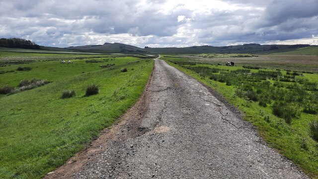
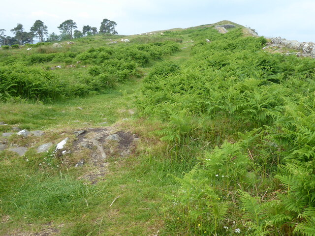
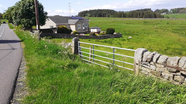
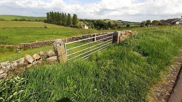
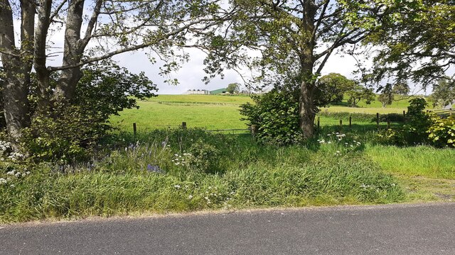
Glendale Plantation, located in Northumberland, is a vast woodland area encompassing the beauty and serenity of nature. It spreads across several acres, providing a haven for a diverse array of flora and fauna. The plantation is renowned for its dense forest cover, making it a popular destination for nature enthusiasts and hikers alike.
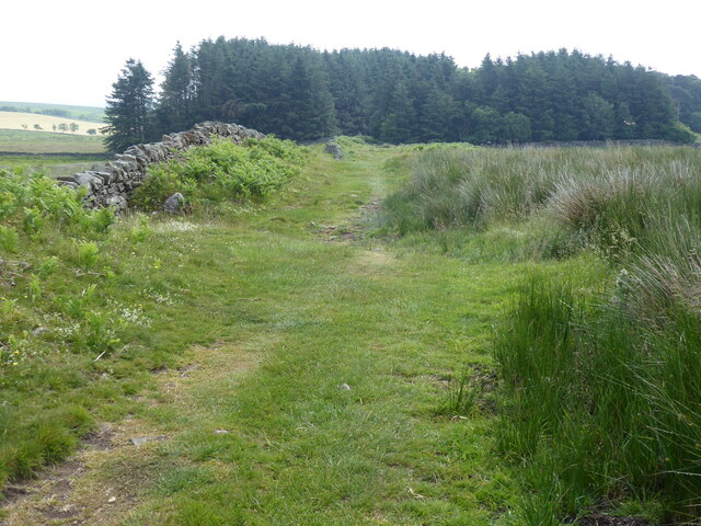
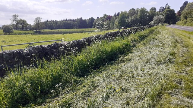
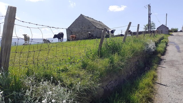
The woodland is dominated by a variety of trees, including oak, beech, and pine, which create a lush and vibrant ecosystem. These trees provide shelter and sustenance for a wide range of wildlife, such as deer, rabbits, and various bird species, making it a paradise for wildlife enthusiasts and birdwatchers.
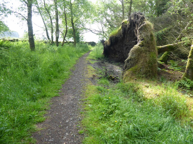
Access to the plantation is facilitated by a network of well-maintained trails, allowing visitors to explore the beauty of the woodland at their own pace. The surrounding landscape is characterized by rolling hills and picturesque valleys, adding to the overall charm of the plantation.
Glendale Plantation offers a peaceful retreat from the hustle and bustle of daily life, providing a perfect setting for relaxation and rejuvenation. Visitors can immerse themselves in the tranquility of the surroundings, enjoying the soothing sounds of birdsong and the rustling of leaves.
In addition to its natural beauty, the plantation also serves as an educational resource, offering guided tours and educational programs on forestry and conservation. This helps raise awareness about the importance of preserving and protecting such valuable natural habitats.
Overall, Glendale Plantation in Northumberland is a haven of natural beauty, offering a range of recreational and educational opportunities for nature enthusiasts, while also serving as an important ecosystem for a diverse range of wildlife.
If you have any feedback on the listing, please let us know in the comments section below.
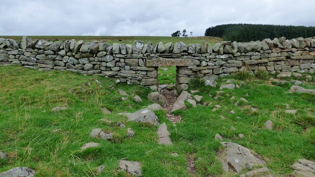
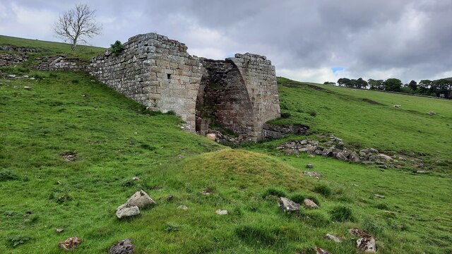
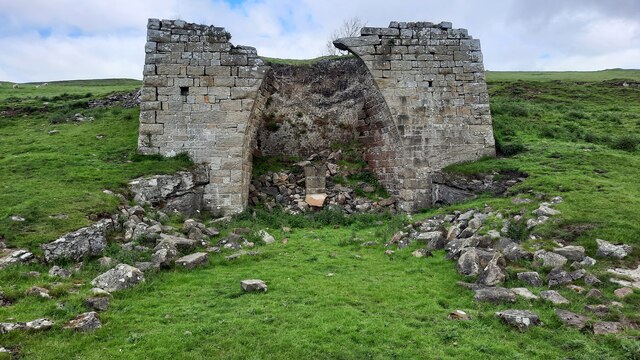
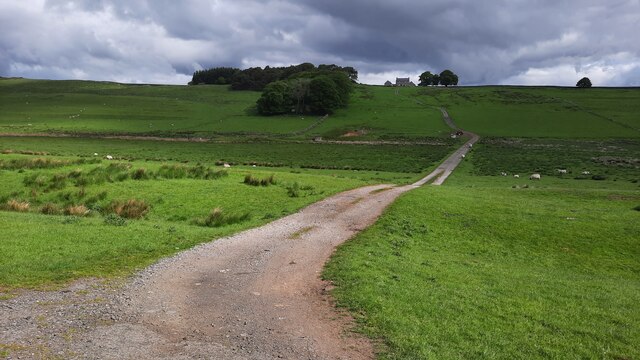
Glendale Plantation Images
Images are sourced within 2km of 54.979886/-2.4761253 or Grid Reference NY6965. Thanks to Geograph Open Source API. All images are credited.
Glendale Plantation is located at Grid Ref: NY6965 (Lat: 54.979886, Lng: -2.4761253)
Unitary Authority: Northumberland
Police Authority: Northumbria
What 3 Words
///flight.clicker.fail. Near Haltwhistle, Northumberland
Nearby Locations
Related Wikis

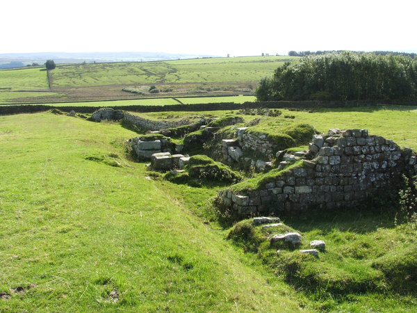
Lees Hall Roman Camp
Lees Hall Roman Camp is an archaeological site, a Roman camp near Hadrian's Wall, in Northumberland, England. It is near Haltwhistle and adjacent to the...

Haltwhistle War Memorial Hospital
Haltwhistle War Memorial Hospital is a health facility at Greencroft Park, Haltwhistle, Northumberland, England. It is managed by Northumbria Healthcare...

Haltwhistle railway station
Haltwhistle is a railway station on the Tyne Valley Line, which runs between Newcastle and Carlisle via Hexham. The station, situated 22 miles 66 chains...

Haltwhistle
Haltwhistle is a market town and civil parish in Northumberland, England, 22.9 miles (36.9 kilometres) east of Carlisle and 36.8 miles (59.2 kilometres...

Blenkinsop Hall
Blenkinsop Hall (grid reference NY68186412) is a privately owned castellated 19th-century country house situated on the banks of the Tipalt Burn near Greenhead...
Alloa Lea Quarry Cave
Alloa Lea Quarry Cave is a short cave in the Five Yard Limestone of the Alston Block in Northumberland, England. It is situated in an old quarry on the...
Aesica
Aesica (with the modern name of Great Chesters) was a Roman fort, one and a half miles north of the small town of Haltwhistle in Northumberland, England...

Milecastle 43
Milecastle 43 (Great Chesters) was a milecastle on Hadrian's Wall (grid reference NY70356684). It was obliterated when the fort at Great Chesters (Aesica...
Related Videos

Haltwhistle: The Centre of Britain: No talking just walking #northumberland #walkingtour
Video recorded by Luke Honeythunder on Thursday 17th August 2023 at Haltwhistle, Northumberland, England. Information ...
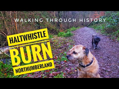
EXPLORING HALTWHISTLE BURN AND LEARNING ABOUT THE HISTORY OF THE AREA.
Haltwhistle is a town in the centre of Britain, today we visited Haltwhistle burn and learned about the history.

Hadrian's Wall Hike
A drive through the Lake District and Northumberland to Haltwhistle and a walk along Hadrian's wall, including Sycamore Gap, ...

Haltwhistle, Northumberland | Town Centre Walk 2020
The delightful little market town of Haltwhistle is located near Hadrian's Wall, by the border between Northumberland and Cumbria ...
Nearby Amenities
Located within 500m of 54.979886,-2.4761253Have you been to Glendale Plantation?
Leave your review of Glendale Plantation below (or comments, questions and feedback).