Batcombe Wood
Wood, Forest in Somerset Mendip
England
Batcombe Wood
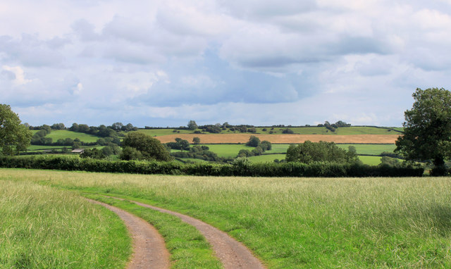
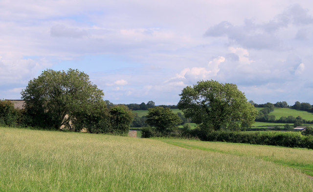
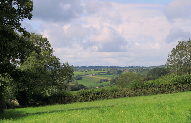
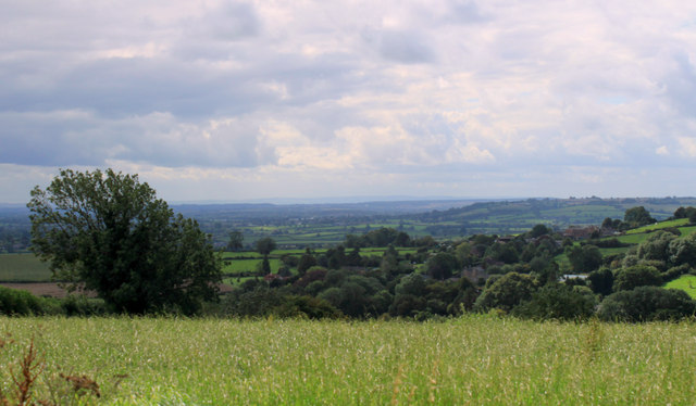
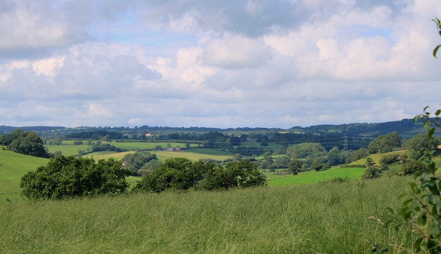
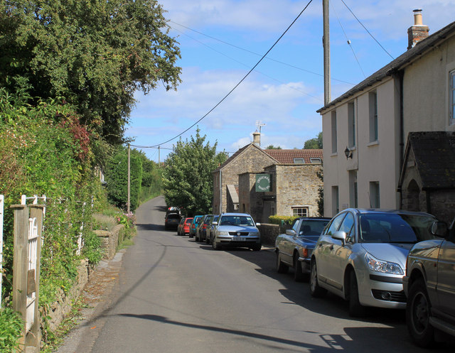
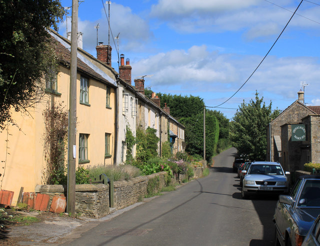
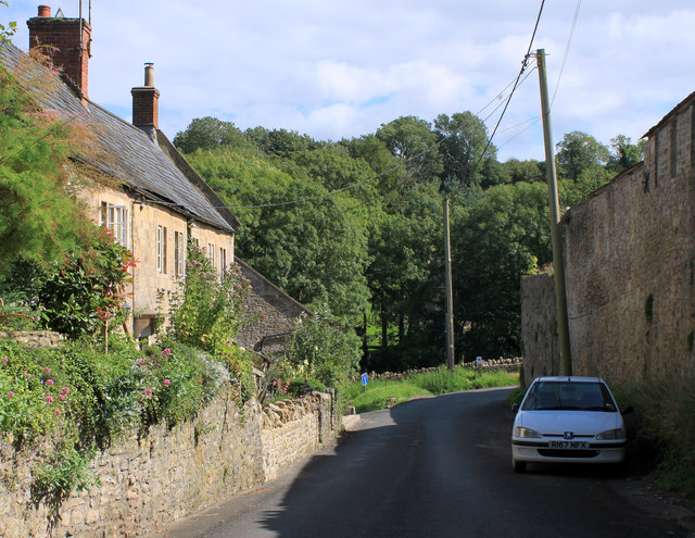
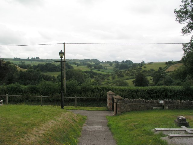
Batcombe Wood is a picturesque woodland located in the county of Somerset, England. Covering an area of approximately 40 hectares, it is nestled in the Mendip Hills, a designated Area of Outstanding Natural Beauty. The wood is situated near the village of Batcombe and is easily accessible by foot or car.
Batcombe Wood is primarily composed of broadleaved trees, including oak, ash, beech, and hazel. These trees create a dense canopy, providing a haven for numerous species of wildlife. The woodland floor is adorned with a rich carpet of wildflowers, such as bluebells, wood anemones, and primroses, which bloom in abundance during the springtime.
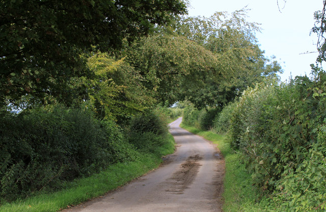
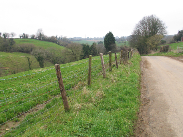
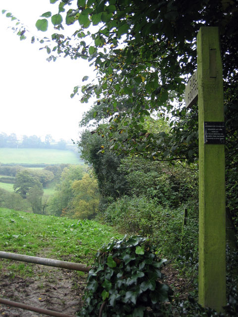
The wood is crisscrossed by a network of well-maintained footpaths, allowing visitors to explore and immerse themselves in the tranquil surroundings. The paths lead to open glades and clearings, offering breathtaking views of the surrounding countryside. Along the way, visitors may encounter a variety of wildlife, including deer, badgers, squirrels, and a myriad of bird species.
Batcombe Wood is also home to a diverse range of plant life, providing a valuable habitat for rare and endangered species. The wood is carefully managed to preserve its natural beauty and ecological importance. Conservation efforts include selective tree thinning and the creation of deadwood structures to enhance biodiversity.
The wood attracts nature enthusiasts, walkers, and photographers who appreciate its serene atmosphere and natural beauty. It offers a peaceful retreat from the hustle and bustle of everyday life, inviting visitors to connect with nature and enjoy the wonders of the Somerset countryside.
If you have any feedback on the listing, please let us know in the comments section below.
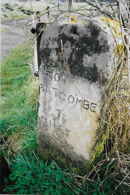
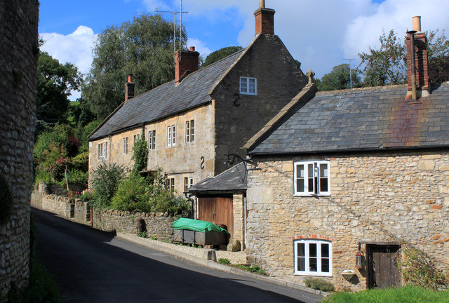
Batcombe Wood Images
Images are sourced within 2km of 51.166557/-2.4362629 or Grid Reference ST6940. Thanks to Geograph Open Source API. All images are credited.
Batcombe Wood is located at Grid Ref: ST6940 (Lat: 51.166557, Lng: -2.4362629)
Administrative County: Somerset
District: Mendip
Police Authority: Avon and Somerset
What 3 Words
///dizzy.smarting.earful. Near Evercreech, Somerset
Nearby Locations
Related Wikis
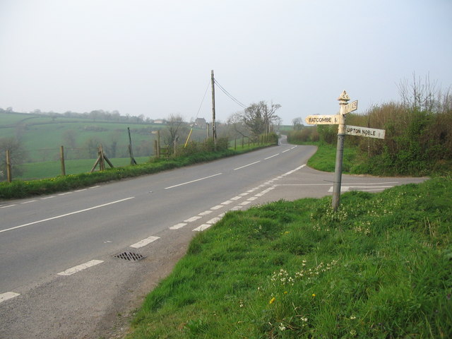
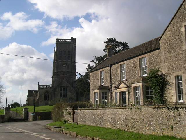
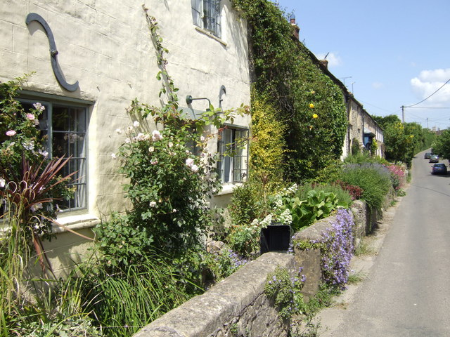
Batcombe, Somerset
Batcombe is a village and civil parish in Somerset, England, situated in the steep valley of the River Alham 5 miles (8 km) south-east of Shepton Mallet...

Wanstrow railway station
Wanstrow railway station was a small station on the East Somerset Railway serving the village of Wanstrow in Somerset. The East Somerset Railway opened...

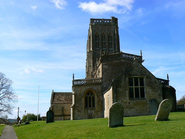
Church of St Mary, Wanstrow
The Anglican Church Of St Mary in Wanstrow, within the English county of Somerset, was built in the 15th century. It is a Grade II* listed building.The...
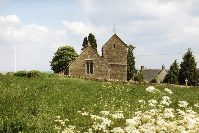
Church of St Mary Magdalene, Upton Noble
The Anglican Church Of St Mary and St John in Upton Noble, within the English county of Somerset, was built in the 12th century. It is a Grade II* listed...

Wanstrow
Wanstrow is a village and civil parish 6 miles (9.7 km) south west of Frome in Somerset, England. The parish includes the village of Cloford. == History... ==
Upton Noble
Upton Noble is a village and civil parish on the River Frome. It is roughly 4.5 miles (7 km) north-east of Bruton, and 7 miles (11 km) from Frome town...
Leighton Road Cutting
Leighton Road Cutting (grid reference ST702437) is a 0.6 hectare geological Site of Special Scientific Interest between East Cranmore and Cloford in Somerset...

Small Down Knoll
Small Down Knoll, or Small Down Camp, is a Bronze Age hill fort near Evercreech in Somerset, England. The hill is on the southern edge of the Mendip Hills...
Nearby Amenities
Located within 500m of 51.166557,-2.4362629Have you been to Batcombe Wood?
Leave your review of Batcombe Wood below (or comments, questions and feedback).