Newhouse Wood

Wood, Forest in Herefordshire

England

Newhouse Wood

Footpath through Acorn Word The Geopark Way follows this footpath through Acorn Wood to the south of Newent.  Here the wood is partially felled.
Footpath through Acorn Word Credit: Philip Halling

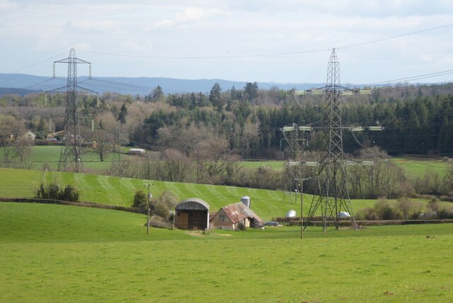
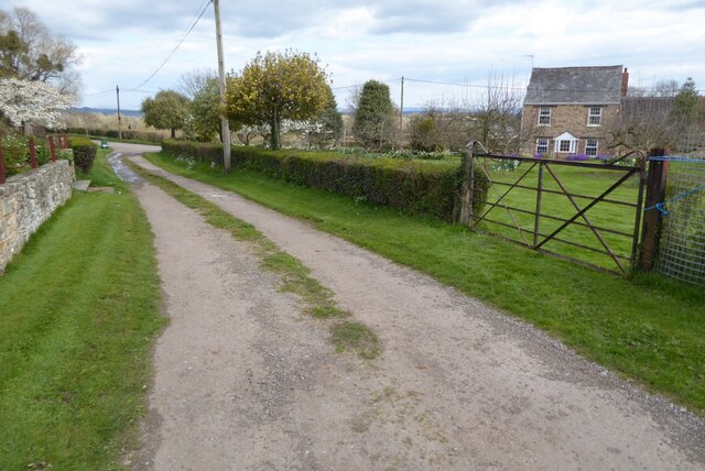
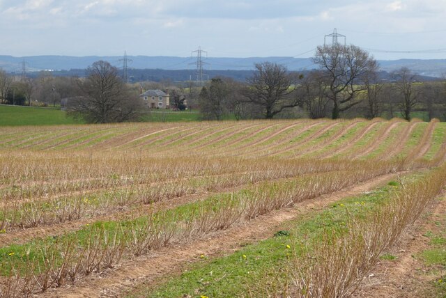
Newhouse Wood is a picturesque forest located in the county of Herefordshire, England. Covering an area of approximately 100 acres, it is a haven for nature lovers and outdoor enthusiasts. The wood is situated on the outskirts of the small village of Newhouse, surrounded by rolling hills and farmland.

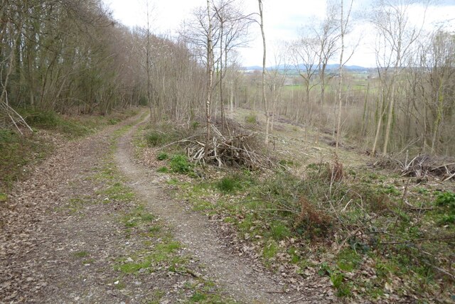
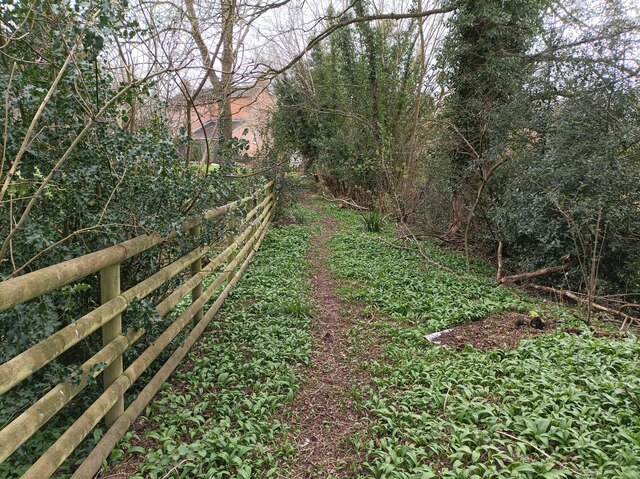
The forest is primarily composed of a diverse range of deciduous trees, including oak, beech, and ash. These trees create a dense canopy overhead, providing shade and shelter for a variety of wildlife. The forest floor is blanketed with a rich layer of leaf litter, creating a vibrant ecosystem that supports a wide range of plant and animal species.

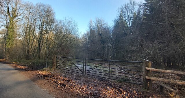
Walking through Newhouse Wood, visitors can explore a network of well-maintained trails that wind their way through the trees. These trails offer a peaceful and serene environment, allowing visitors to immerse themselves in the natural beauty of the forest. The wood is also home to a small stream, which adds to the tranquility of the surroundings.

Birdwatchers will be delighted by the abundance of avian species that call Newhouse Wood home. From songbirds such as thrushes and warblers to raptors like buzzards and owls, there is always something to see and hear in the forest. Other wildlife that can be spotted in the area include deer, foxes, and squirrels.

Newhouse Wood is a popular destination for outdoor activities such as hiking, nature photography, and picnicking. Its peaceful atmosphere and stunning natural scenery make it the perfect place to escape the hustle and bustle of everyday life and reconnect with nature.

If you have any feedback on the listing, please let us know in the comments section below.

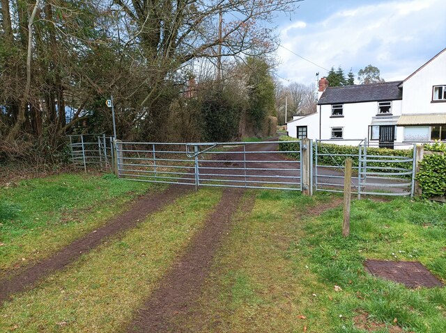
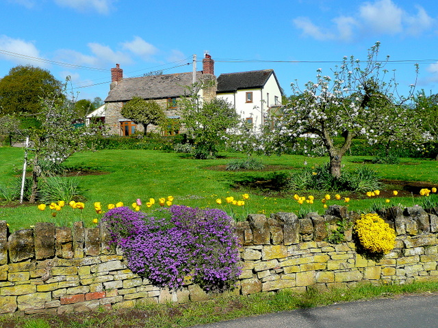
Newhouse Wood Images

Images are sourced within 2km of 51.902723/-2.4485508 or Grid Reference SO6922. Thanks to Geograph Open Source API. All images are credited.

Footpath through Acorn Word The Geopark Way follows this footpath through Acorn Wood to the south of Newent.  Here the wood is partially felled.
Footpath through Acorn Word
The Geopark Way follows this footpath through Acorn Wood to the south of Newent. Here the wood is partially felled.
Farm buildings Farm buildings and electricity pylons near Clifford Mesne.
Farm buildings
Farm buildings and electricity pylons near Clifford Mesne.
Footpath and track Footpath and track near Clifford's Mesne.
Footpath and track
Footpath and track near Clifford's Mesne.
Farmland near Clifford's Mesne I am not sure what the bushes are in this field, possibly currents.
Farmland near Clifford's Mesne
I am not sure what the bushes are in this field, possibly currents.
Former Newent Falconry centre Sadly this falconry centre is no longer open.
Former Newent Falconry centre
Sadly this falconry centre is no longer open.
Gated Track in Newent Woods
St Peter's Church - Clifford's Mesne
Vanishing Point Power lines vanish into the dense fog
Vanishing Point
Power lines vanish into the dense fog
Path in Clifford's Mesne A small footpath on the edge of Newent woods, leading into the village of Clifford's Mesne
Path in Clifford's Mesne
A small footpath on the edge of Newent woods, leading into the village of Clifford's Mesne
Two kissing gates A pair of kissing gates, one on either end of a larger gate.
Two kissing gates
A pair of kissing gates, one on either end of a larger gate.
Path through Acorn Wood A footpath leading north through Acorn Wood.
Path through Acorn Wood
A footpath leading north through Acorn Wood.
Church of St Peter, Clifford's Mesne
Path junction or fork A fork in the grassed path. The path looks quiet but shows evidence of joggers / runners, horse riders, walkers and dog walkers.
Path junction or fork
A fork in the grassed path. The path looks quiet but shows evidence of joggers / runners, horse riders, walkers and dog walkers.
View through the orchard to a property What a nice setting and seasonal scene.
View through the orchard to a property
What a nice setting and seasonal scene.
Part of the International Birds of Prey Centre near Newent, Glos The main car park entrance.
Part of the International Birds of Prey Centre near Newent, Glos
The main car park entrance.
View towards Manor House Farm, Clifford's Mesne
Track through Newent Woods Part of the Huntley Estate with permitted access.
Track through Newent Woods
Part of the Huntley Estate with permitted access.
Track by St. Peter's church Clifford's Mesne has a dense network of paths and tracks.
Track by St. Peter's church
Clifford's Mesne has a dense network of paths and tracks.
Show me another place!

Newhouse Wood is located at Grid Ref: SO6922 (Lat: 51.902723, Lng: -2.4485508)

Unitary Authority: County of Herefordshire

Police Authority: West Mercia

What 3 Words

///gladiators.haunts.acclaimed. Near Lea, Herefordshire

Nearby Locations

Hay Wood Newhouse Wood

Related Wikis

Cliffords Mesne

Cliffords Mesne is an English village in Gloucestershire, two miles (3.2 km) south-west of the town of Newent. It became the home of the autobiographical...

Luxley

Luxley is a village in the southwest Midlands of England, on the border between Gloucestershire and Herefordshire near May Hill. Luxley is 12 km (7.5 mi...

May Hill

May Hill is a prominent English hill between Gloucester and Ross-on-Wye. Its summit, on the western edge of Gloucestershire and its northern slopes in...

Boulsdon

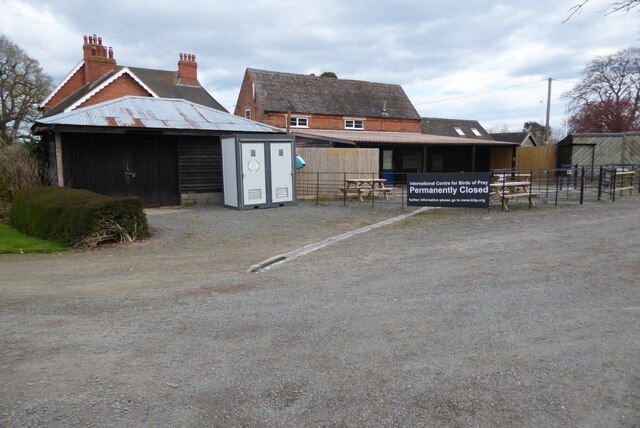
Boulsdon is a village in Gloucestershire, England. It is the location of the International Centre for Birds of Prey.A low mound in the village may have...

Nearby Amenities

Located within 500m of 51.902723,-2.4485508
Power: tower
Source: Bing
Lat/Long: 51.9041421/-2.4531929
Power: tower
Source: Bing
Lat/Long: 51.9062868/-2.4521308
Power: tower
Source: Bing
Lat/Long: 51.9055196/-2.4505711
Power: tower
Source: Bing
Lat/Long: 51.9027972/-2.4557389
Power: pole
Lat/Long: 51.8984683/-2.4501885
Glastonbury
Power: pole
Transformer: distribution
Voltage Primary: 11000
Lat/Long: 51.8990753/-2.448537
Power: pole
Lat/Long: 51.8988465/-2.4491599
Power: tower
Source: Bing
Lat/Long: 51.9067007/-2.4483526
The data included in this document is from www.openstreetmap.org. The data is made available under ODbL.

Have you been to Newhouse Wood?

Leave your review of Newhouse Wood below (or comments, questions and feedback).