Mill Wood

Wood, Forest in Yorkshire South Lakeland

England

Mill Wood

Milestone by Holme Cottage The milestone is of a design distinctive to this area, a circular column just marked  "S 5" (S standing for Sedbergh).  Listed grade II (list entry 1383912).
Milestone by Holme Cottage Credit: Stephen Craven

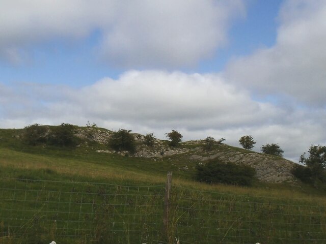
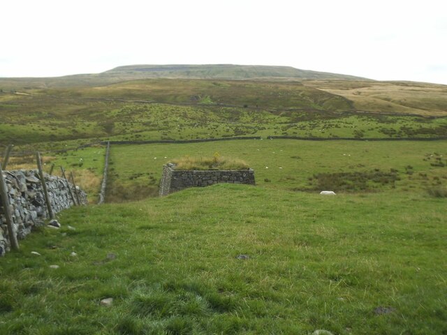
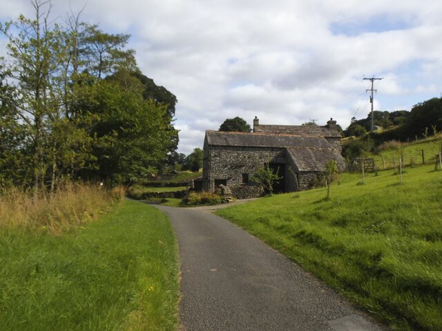
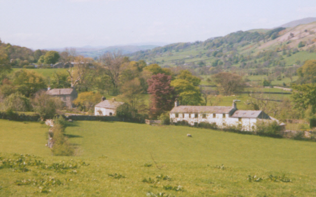
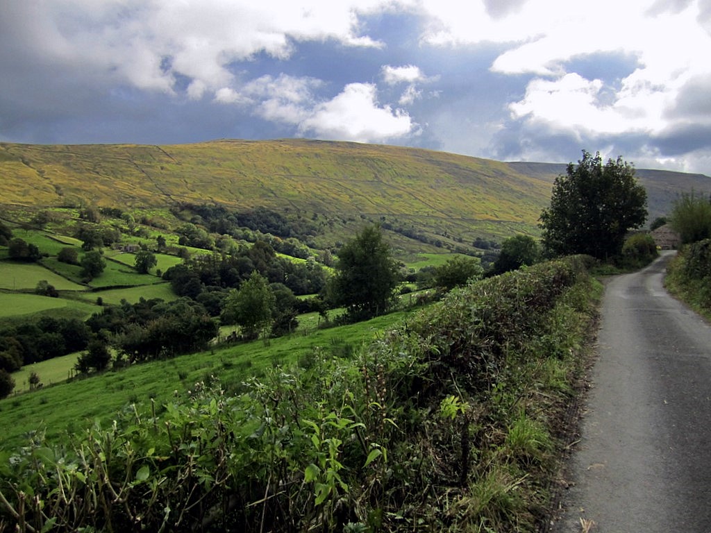
Mill Wood is a picturesque woodland located in the county of Yorkshire, England. Situated near the village of Mill, this woodland area covers a vast expanse of approximately 200 acres. It is a popular destination for nature enthusiasts and outdoor lovers who appreciate the captivating beauty of woodlands.

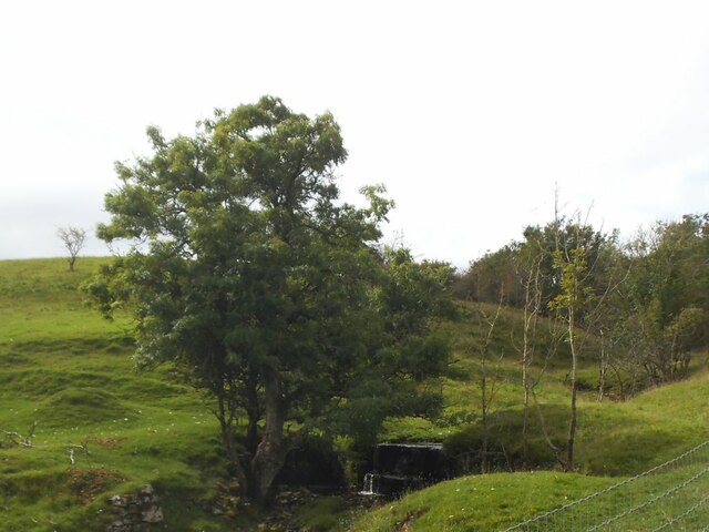
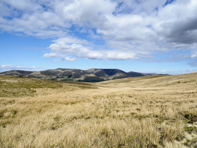
The wood is predominantly composed of native tree species such as oak, beech, and birch, creating a diverse and vibrant ecosystem. The tall, majestic trees provide ample shade and shelter for a variety of wildlife, including birds, squirrels, and deer. The forest floor is adorned with a rich array of flora, including bluebells, wild garlic, and ferns, which add to the enchanting atmosphere of the wood.

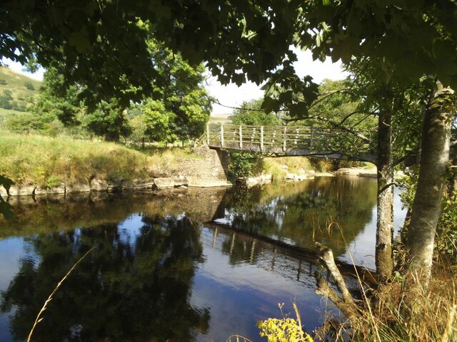
Tranquil walking trails wind their way through Mill Wood, allowing visitors to explore its natural wonders at their own pace. These paths offer breathtaking views of the surrounding countryside, making it a perfect spot for nature photography or simply enjoying a peaceful stroll.

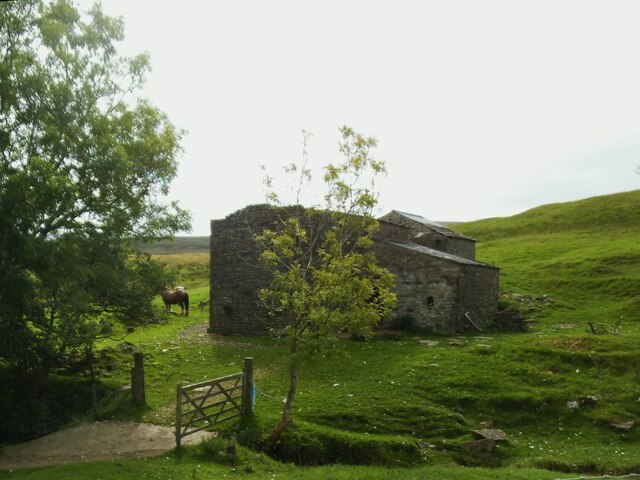
In addition to its natural beauty, Mill Wood also holds historical significance. The remnants of an old mill can still be seen within the woodland, serving as a reminder of the area's industrial past. This adds an extra layer of intrigue for history enthusiasts who are interested in the heritage of the region.

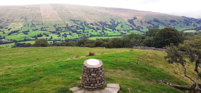
Overall, Mill Wood is a stunning haven of natural beauty and tranquility, offering visitors a chance to immerse themselves in the wonders of Yorkshire's woodlands. Whether it be for a leisurely walk, birdwatching, or simply escaping the hustle and bustle of everyday life, Mill Wood provides a serene retreat for all who venture into its embrace.

If you have any feedback on the listing, please let us know in the comments section below.
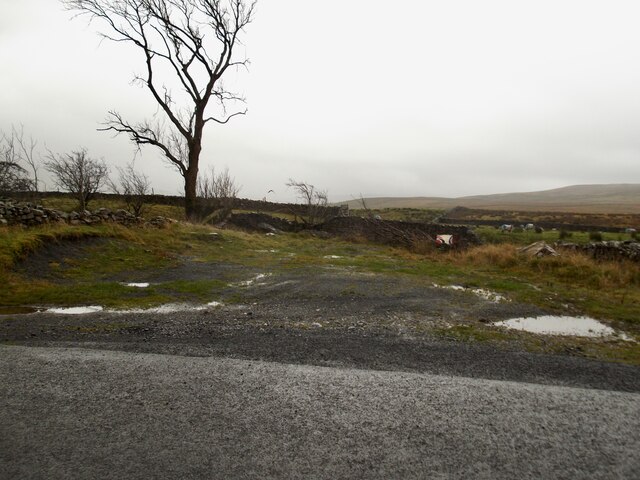
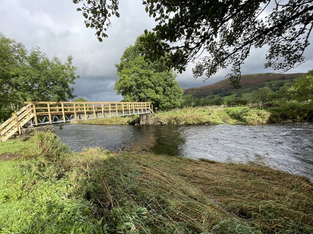
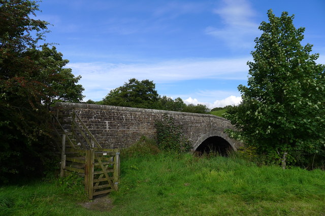
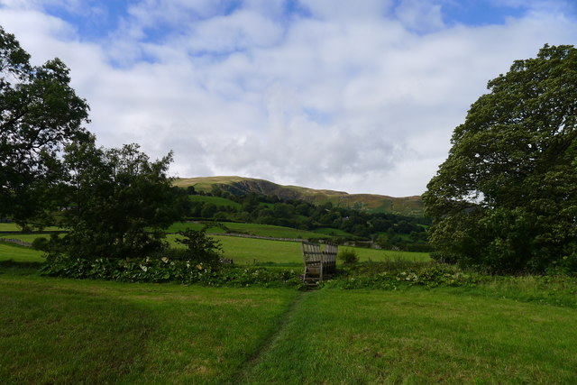
Mill Wood Images

Images are sourced within 2km of 54.286804/-2.474314 or Grid Reference SD6988. Thanks to Geograph Open Source API. All images are credited.

Milestone by Holme Cottage The milestone is of a design distinctive to this area, a circular column just marked  "S 5" (S standing for Sedbergh).  Listed grade II (list entry 1383912).
Milestone by Holme Cottage
The milestone is of a design distinctive to this area, a circular column just marked "S 5" (S standing for Sedbergh). Listed grade II (list entry 1383912).
Gawthrop A small hamlet around a bridge over Oliver Gill.
Gawthrop
A small hamlet around a bridge over Oliver Gill.
Peas Gill House The main part of the nearer building has lost its roof and any glass in the windows, but the further building may still be in use, as evidenced by the horse nearby.
Peas Gill House
The main part of the nearer building has lost its roof and any glass in the windows, but the further building may still be in use, as evidenced by the horse nearby.
Peas Gill with small waterfall There are a few waterfalls marked on the map along the course of this steep gill, not including the small one in this photo.
Peas Gill with small waterfall
There are a few waterfalls marked on the map along the course of this steep gill, not including the small one in this photo.
Limestone outcrop above Peas Gill The line of the major Dent Fault lies a little further up the hillside, so this must represent nearly the western edge of the limestone Dales.
Limestone outcrop above Peas Gill
The line of the major Dent Fault lies a little further up the hillside, so this must represent nearly the western edge of the limestone Dales.
Lime kiln above Dentdale No longer in use but it seems to have been restored, see <a href="https://www.geograph.org.uk/photo/2313935">SD6886 : Lime Kiln near Keldishaw</a>.  The ridge in the distance is Whernside.
Lime kiln above Dentdale
No longer in use but it seems to have been restored, see SD6886 : Lime Kiln near Keldishaw. The ridge in the distance is Whernside.
Ellers barn A grade II listed barn (list entry 1383860).  The farmhouse beyond <a href="https://www.geograph.org.uk/photo/3629842">SD6788 : The farm at Ellers</a>, not clearly visible in this photo, is also listed (1383859).
Ellers barn
A grade II listed barn (list entry 1383860). The farmhouse beyond SD6788 : The farm at Ellers, not clearly visible in this photo, is also listed (1383859).
Footbridge over the river Dee at Ellers This is the small river Dee in Cumbria, not the better known larger rivers of that name in Cheshire or Aberdeen. The bridge is close to Ellers Farm <a href="https://www.geograph.org.uk/photo/2674190">SD6788 : Ellers, lower Dentdale</a>, so I presume it was intended primarily for their use, but it is on a public footpath.   Quite a long single span (c.15m) for a straight (not arched) wooden footbridge.
Footbridge over the river Dee at Ellers
This is the small river Dee in Cumbria, not the better known larger rivers of that name in Cheshire or Aberdeen. The bridge is close to Ellers Farm SD6788 : Ellers, lower Dentdale, so I presume it was intended primarily for their use, but it is on a public footpath. Quite a long single span (c.15m) for a straight (not arched) wooden footbridge.
Valley of Holebeck Gill The shallow, upper valley of Holebeck Gill heading north to where it will meet the Clough River which drains Garsdale.
The Howgill Fells are in the distance beyond both the Clough River and the River Rawthey.
Valley of Holebeck Gill
The shallow, upper valley of Holebeck Gill heading north to where it will meet the Clough River which drains Garsdale. The Howgill Fells are in the distance beyond both the Clough River and the River Rawthey.
View over toposcope beside Flinter Gill Outrake
A small flat area by the Barbondale Road Parking is at a premium on this road and this offers a little space to stop.
A small flat area by the Barbondale Road
Parking is at a premium on this road and this offers a little space to stop.
Wall and gate on Coombe top. Views of the Howgills.
Wall and gate on Coombe top.
Views of the Howgills.
Old Bridge Marker on Oliver Bridge at Gawthrop Bridge Marker at the southeast end of the parapet of Oliver Bridge, Oliver Beck, in Gawthrop. Dent parish. W R in raised lettering on adjacent faces to mark the extent of roadway adjoining the bridge that the County was obliged to maintain. See also <span class="nowrap"><a title="http://www.geog.port.ac.uk/webmap/thelakes/photos/bnh63.jpg" rel="nofollow ugc noopener" href="http://www.geog.port.ac.uk/webmap/thelakes/photos/bnh63.jpg">Link</a><img style="margin-left:2px;" alt="External link" title="External link - shift click to open in new window" src="https://s1.geograph.org.uk/img/external.png" width="10" height="10"/></span>.

Milestone Society National ID: YW_DENT07br
Old Bridge Marker on Oliver Bridge at Gawthrop
Bridge Marker at the southeast end of the parapet of Oliver Bridge, Oliver Beck, in Gawthrop. Dent parish. W R in raised lettering on adjacent faces to mark the extent of roadway adjoining the bridge that the County was obliged to maintain. See also LinkExternal link. Milestone Society National ID: YW_DENT07br
Old Bridge Marker on Oliver Bridge at Gawthrop Bridge Marker against the wall of a garage at the east end of the parapet of Oliver Bridge, Oliver Beck, Gawthrop. Dent parish. W R in raised lettering on adjacent faces to mark the extent of roadway adjoining the bridge that the County was obliged to maintain. See also <span class="nowrap"><a title="http://www.geog.port.ac.uk/webmap/thelakes/photos/bnh64.jpg" rel="nofollow ugc noopener" href="http://www.geog.port.ac.uk/webmap/thelakes/photos/bnh64.jpg">Link</a><img style="margin-left:2px;" alt="External link" title="External link - shift click to open in new window" src="https://s1.geograph.org.uk/img/external.png" width="10" height="10"/></span> and <a title="https://www.geograph.org.uk/photo/2993136" href="https://www.geograph.org.uk/photo/2993136">Link</a>

Milestone Society National ID: YW_DENT04br
Old Bridge Marker on Oliver Bridge at Gawthrop
Bridge Marker against the wall of a garage at the east end of the parapet of Oliver Bridge, Oliver Beck, Gawthrop. Dent parish. W R in raised lettering on adjacent faces to mark the extent of roadway adjoining the bridge that the County was obliged to maintain. See also LinkExternal link and Link Milestone Society National ID: YW_DENT04br
Ford at Ellers The previous day the road here was flooded for 150 metres but today this ford on the River Dee is visible but not passable.
Ford at Ellers
The previous day the road here was flooded for 150 metres but today this ford on the River Dee is visible but not passable.
A barn and Holme Cottage
Barth Bridge Carrying the Dent to Sedbergh road over the River Dee
Barth Bridge
Carrying the Dent to Sedbergh road over the River Dee
The Dales Way in Dentdale The slopes of Combe Scar in the distance
The Dales Way in Dentdale
The slopes of Combe Scar in the distance
Show me another place!

Mill Wood is located at Grid Ref: SD6988 (Lat: 54.286804, Lng: -2.474314)

Division: West Riding

Administrative County: Cumbria

District: South Lakeland

Police Authority: Cumbria

What 3 Words

///retrieves.goodness.pinches. Near Sedbergh, Cumbria

Related Wikis

Gawthrop

Gawthrop is a hamlet in the South Lakeland district, in the county of Cumbria, England. Historically part of the West Riding of Yorkshire, it lies within...

St Andrew's Church, Dent

St Andrew's Church is in the village of Dent, Cumbria, England. It is an active Anglican parish church in the Western Dales Mission Community in the deanery...
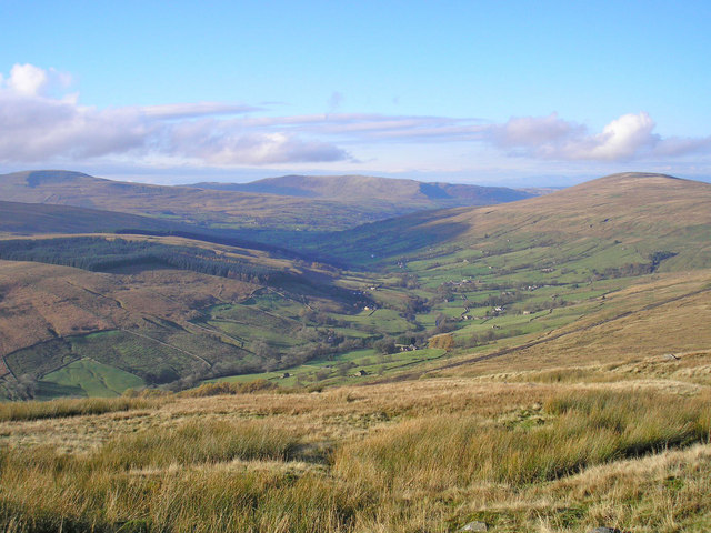
Dentdale

Dentdale is a dale or valley in the north-west of the Yorkshire Dales National Park in Cumbria, England. It is the valley of the River Dee, but takes...
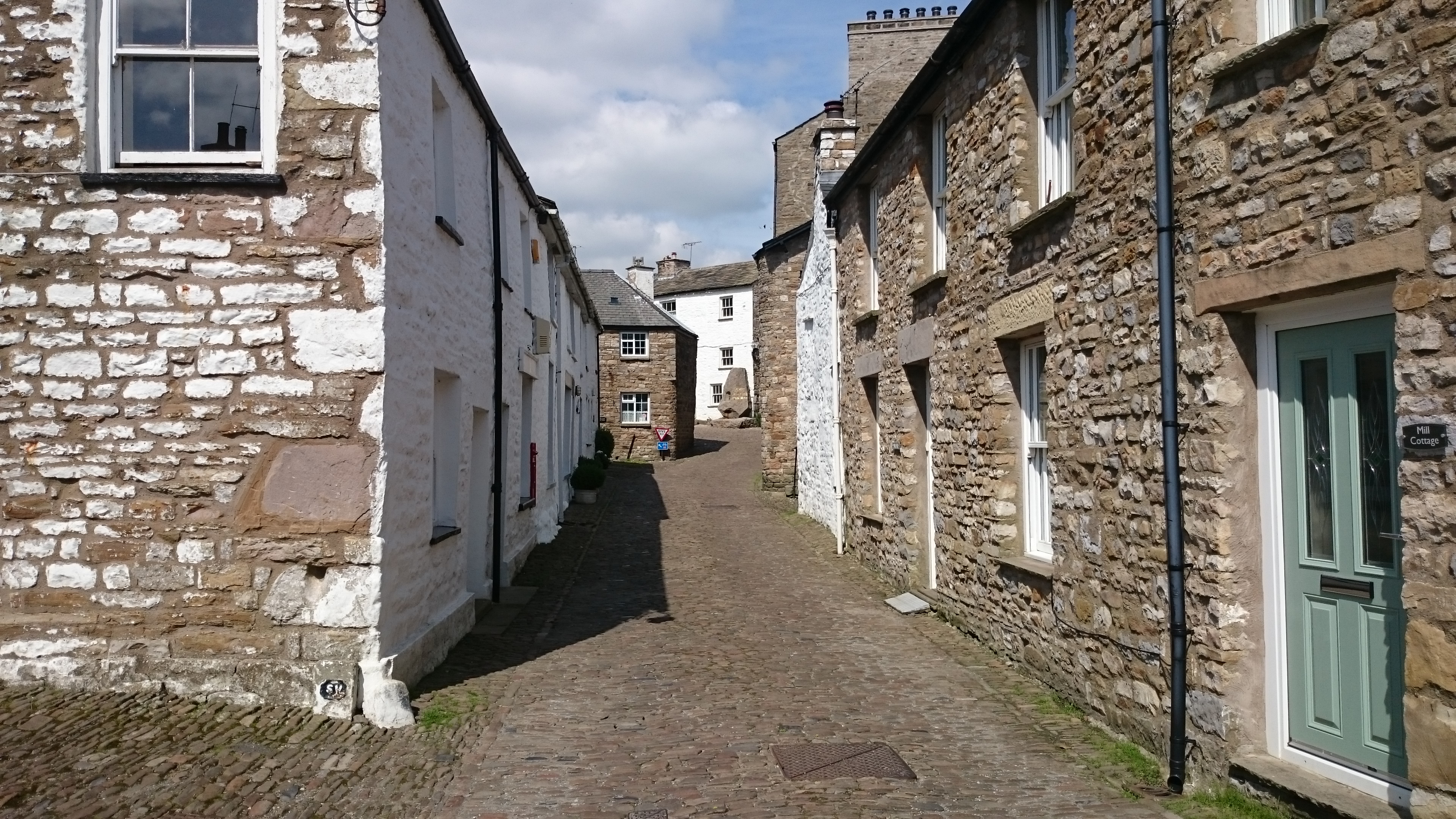
Dent, Cumbria

Dent is a village and civil parish in Cumbria, England, within the historic boundaries of the West Riding of Yorkshire. It lies in Dentdale, a narrow valley...
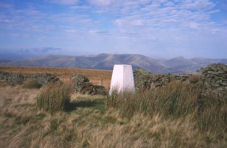
Aye Gill Pike

Aye Gill Pike is a Marilyn in the Yorkshire Dales, the highest point of the ridge of Rise Hill between Dentdale and Garsdale in Cumbria, England.

Calf Top

Calf Top is a mountain in the western part of the Yorkshire Dales, England. It is located in the county of Cumbria, although Lancashire and North Yorkshire...

Deepdale, Cumbria

Deepdale is a side valley of Dentdale in the Yorkshire Dales National Park in Cumbria, England. It lies north west of the summit of Whernside. The dale...

Clough River

The Clough River is a river in Cumbria, England. A tributary of the River Rawthey, it flows for 21.8 kilometres (13.5 mi) primarily through the Garsdale...

Nearby Amenities

Located within 500m of 54.286804,-2.474314
Barrier: kissing_gate
Source: survey;gps
Lat/Long: 54.2827851/-2.4718296
Barrier: stile
Material: stone
Source: survey;gps
Stile: squeezer
Lat/Long: 54.2839277/-2.4711559
Barrier: stile
Source: survey;gps
Stile: squeezer
Lat/Long: 54.2857908/-2.4703978
Barrier: stile
Material: wood
Source: survey;gps
Stile: stepover
Lat/Long: 54.2875637/-2.4671435
Barrier: stile
Material: stone
Source: survey;gps
Stile: squeezer
Lat/Long: 54.2857908/-2.4703128
Barrier: kissing_gate
Source: survey;gps
Lat/Long: 54.286634/-2.4801485
Barrier: stile
Material: wood
Source: survey;gps
Stile: stepover
Lat/Long: 54.2888061/-2.4771305
Barrier: kissing_gate
Lat/Long: 54.284817/-2.4681195
Power: pole
Lat/Long: 54.287423/-2.4672125
Power: pole
Lat/Long: 54.2903172/-2.4709268
Power: pole
Lat/Long: 54.289635/-2.4799041
Power: pole
Lat/Long: 54.2888181/-2.4794325
Power: pole
Lat/Long: 54.2877734/-2.4788334
Power: pole
Lat/Long: 54.2867348/-2.4777474
Power: pole
Lat/Long: 54.2858047/-2.4763453
Power: pole
Lat/Long: 54.284888/-2.4749432
Power: pole
Lat/Long: 54.2843121/-2.4740892
Power: pole
Lat/Long: 54.2840293/-2.4736482
Power: pole
Lat/Long: 54.2828447/-2.4769036
Power: pole
Lat/Long: 54.2831915/-2.4756723
Power: pole
Lat/Long: 54.2834519/-2.4747061
Power: pole
Lat/Long: 54.286269/-2.48137
Power: pole
Lat/Long: 54.2864029/-2.4802891
Power: pole
Lat/Long: 54.2865651/-2.4790527
Power: pole
Lat/Long: 54.2840673/-2.4798544
Power: pole
Lat/Long: 54.2838491/-2.4793298
Power: pole
Lat/Long: 54.2830688/-2.4775427
Power: pole
Lat/Long: 54.2832058/-2.476618
Power: pole
Lat/Long: 54.2831177/-2.4722606
The data included in this document is from www.openstreetmap.org. The data is made available under ODbL.

Have you been to Mill Wood?

Leave your review of Mill Wood below (or comments, questions and feedback).