Elm Clough Wood

Wood, Forest in Yorkshire Ribble Valley

England

Elm Clough Wood

Browsholme Hall The south frontage
Browsholme Hall Credit: Kevin Waterhouse

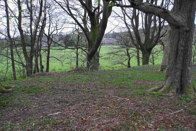
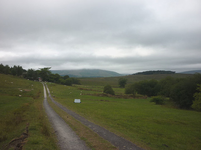
Elm Clough Wood is a picturesque woodland located in Yorkshire, England. Situated in the heart of the county, it covers an area of approximately 50 acres, making it a substantial forested area. The wood is known for its dense population of elm trees, which give it its name and characterize its landscape. These majestic trees provide a stunning canopy of green, creating a serene and peaceful atmosphere within the woodland.

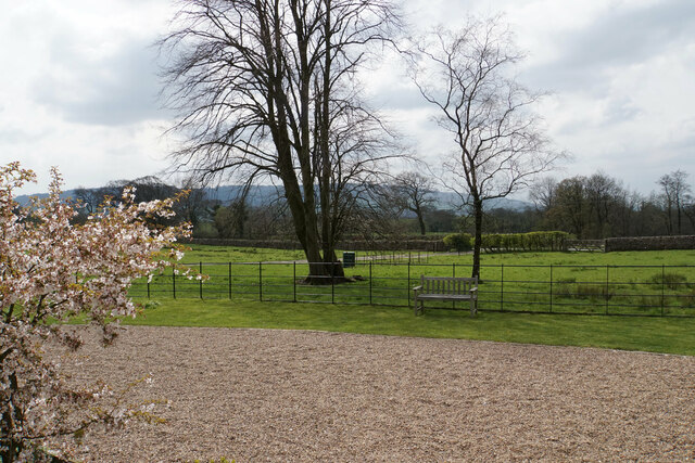
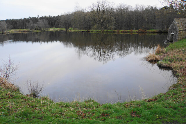
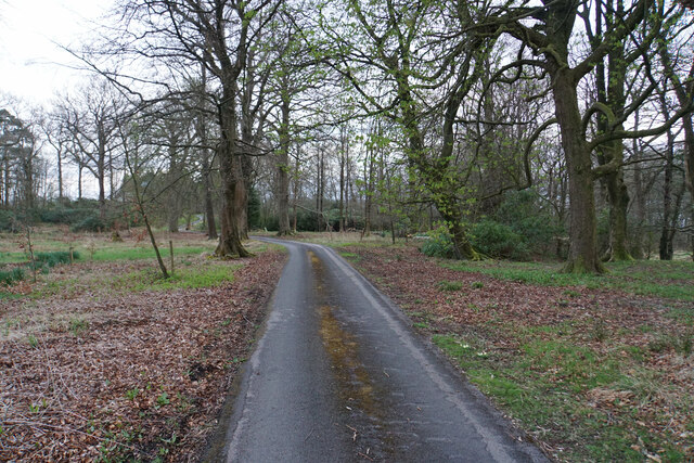
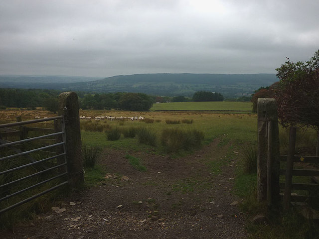
Elm Clough Wood is a popular destination for nature enthusiasts and hikers alike. The forest boasts a network of well-maintained trails that wind through its diverse terrain, offering visitors the opportunity to explore its natural beauty. The paths lead visitors past babbling brooks, charming meadows, and small ponds, enhancing the sense of tranquility and providing numerous spots for wildlife observation.

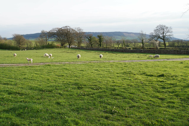
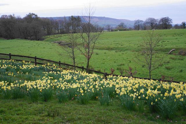
The wood is home to a rich variety of flora and fauna, making it a haven for nature lovers. The diverse ecosystem supports an abundance of wildlife, including deer, foxes, and an array of bird species. Throughout the year, visitors can witness the changing seasons reflected in the woodland, from the vibrant colors of spring blossoms to the golden hues of autumn leaves.

Elm Clough Wood is also a site of historical significance. It has been documented as a woodland since medieval times and has witnessed the passage of time, remaining a cherished natural treasure for generations. Its beauty and charm continue to attract visitors who seek solace in its peaceful ambiance and appreciate the wonders of nature.

If you have any feedback on the listing, please let us know in the comments section below.

Elm Clough Wood Images

Images are sourced within 2km of 53.913568/-2.4715792 or Grid Reference SD6946. Thanks to Geograph Open Source API. All images are credited.

Browsholme Hall The south frontage
Browsholme Hall
The south frontage
The grounds of Browsholme Hall The profile of Longridge Fell is seen in the background.
The grounds of Browsholme Hall
The profile of Longridge Fell is seen in the background.
Sheep with lambs at Browsholme Hall Ribble Valley countryside.
Sheep with lambs at Browsholme Hall
Ribble Valley countryside.
Daffodil display at Browsholme Hall Taken as light was just beginning to fade.
Daffodil display at Browsholme Hall
Taken as light was just beginning to fade.
Lake at Browsholme Hall Complete with boathouse.
Lake at Browsholme Hall
Complete with boathouse.
Driveway in Bashall Moor Wood An access driveway for Browsholme Hall.
Driveway in Bashall Moor Wood
An access driveway for Browsholme Hall.
Part of Bashall Moor Wood You can see through the trees at the edge of the wood to Browsholme Hall, to which this wood belongs.
Part of Bashall Moor Wood
You can see through the trees at the edge of the wood to Browsholme Hall, to which this wood belongs.
Barn at Crag House On the road to Cow Ark.
Barn at Crag House
On the road to Cow Ark.
View to the North East near  Spire Farm Trig Point
Spire Farm Trig Point Flush Bracket S4665
A feeding station at Ing Barn
Country view at Marl Hill Looking east across rough pasture towards Crag Wood with the small outcrop of Crag Stones on the hillside beyond. Much of this area between the Ribble and the Forest of Bowland is rather poor quality land owing to the underlying geology of shales and grits.
Country view at Marl Hill
Looking east across rough pasture towards Crag Wood with the small outcrop of Crag Stones on the hillside beyond. Much of this area between the Ribble and the Forest of Bowland is rather poor quality land owing to the underlying geology of shales and grits.
Spire Trig Pillar Looking NE towards Waddington Fell.
Spire Trig Pillar
Looking NE towards Waddington Fell.
Gardens at Browsholme Hall Pronounced Brusom, the house has been in the continuous ownership of the Parker family since the early sixteenth century.
Gardens at Browsholme Hall
Pronounced Brusom, the house has been in the continuous ownership of the Parker family since the early sixteenth century.
Gateway north of Browsholme Hall On the footpath to Spire Farm.
Gateway north of Browsholme Hall
On the footpath to Spire Farm.
Derelict outbuilding near Spire Farm Perhaps it was to pump water up to this exposed location on top of a hill?
Derelict outbuilding near Spire Farm
Perhaps it was to pump water up to this exposed location on top of a hill?
The 'spire' at Spire Farm A curious structure (definitely not a spire) which looks to have been recently repointed, possibly to take the telecoms dishes?
The 'spire' at Spire Farm
A curious structure (definitely not a spire) which looks to have been recently repointed, possibly to take the telecoms dishes?
The track to Crimpton Part of the footpath heading towards Whitewell and the Hodder Valley ahead.
The track to Crimpton
Part of the footpath heading towards Whitewell and the Hodder Valley ahead.
Show me another place!

Elm Clough Wood is located at Grid Ref: SD6946 (Lat: 53.913568, Lng: -2.4715792)

Division: West Riding

Administrative County: Lancashire

District: Ribble Valley

Police Authority: Lancashire

What 3 Words

///bypasses.fortified.space. Near Waddington, Lancashire

Nearby Locations

Elm Clough Wood

Related Wikis

Bowland Rural District

Bowland was a rural district in the West Riding of Yorkshire from 1894 to 1974. It was named after the Forest of Bowland, which it included. It was formed...

Bowland Forest Low

Bowland Forest Low is a civil parish in the Ribble Valley district of Lancashire, England, covering some 5,500 acres (22 km2) of the Forest of Bowland...
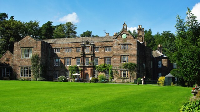
Browsholme Hall

Browsholme Hall is a privately owned Tudor house in the parish of Bowland Forest Low in the borough of Ribble Valley, Lancashire (although historically...

Cow Ark Farmhouse

Cow Ark Farmhouse is a historic building in the English parish of Bowland Forest Low, Lancashire. It is Grade II listed, built around 1780, and is a sandstone...

Nearby Amenities

Located within 500m of 53.913568,-2.4715792
Marl Hill Moor
Place: locality
Source: OS 1:25k
Lat/Long: 53.9170042/-2.4759353
Marl Hill ?
Natural: peak
Source: OS 1:25k
Lat/Long: 53.9155761/-2.4761499
The data included in this document is from www.openstreetmap.org. The data is made available under ODbL.

Have you been to Elm Clough Wood?

Leave your review of Elm Clough Wood below (or comments, questions and feedback).