Daw's Coppice

Wood, Forest in Gloucestershire Forest of Dean

England

Daw's Coppice

Boyce Court Boyce Court viewed from the Daffodil Way.  The house was built in 1835 for Drummond family.  A fine looking Grade II listed early 19th century house beside a cedar tree.
Boyce Court Credit: Philip Halling

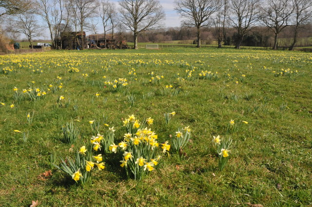
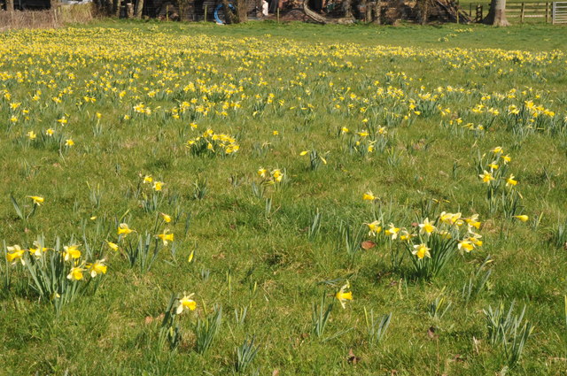
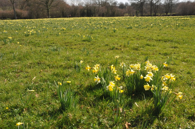
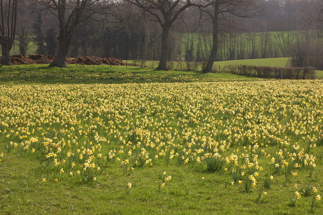
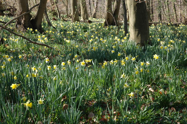
Daw's Coppice is a picturesque woodland located in Gloucestershire, England. Nestled in the heart of the beautiful Cotswolds region, it covers an area of approximately 50 acres. The copse is predominantly composed of deciduous trees, including oak, beech, and ash, which create a diverse and vibrant ecosystem.

The woodland boasts a rich history that dates back centuries. It is believed to have been used for timber production and as a hunting ground during the medieval period. Today, it serves as a popular recreational spot for locals and tourists alike.

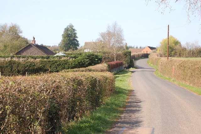
Daw's Coppice offers a tranquil escape from the bustling city life. Its well-maintained paths and trails wind through the forest, providing visitors with the opportunity to explore its natural beauty. The woodland is home to a variety of wildlife, including deer, foxes, and an array of bird species, making it a haven for nature enthusiasts and birdwatchers.

Throughout the year, Daw's Coppice undergoes stunning seasonal transformations. In spring, the woodland floor is carpeted with bluebells, creating a breathtaking sight. During the summer months, the canopy provides shade and respite from the sun, while in autumn, the copse becomes a vibrant tapestry of golden hues as the leaves change color.

The management of Daw's Coppice is overseen by a dedicated team of conservationists. Their efforts ensure the preservation of the woodland's unique ecosystem and protect its natural heritage for future generations to enjoy. Guided walks and educational programs are also organized to promote environmental awareness and understanding.

If you have any feedback on the listing, please let us know in the comments section below.

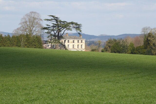
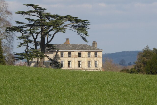
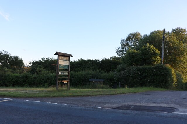
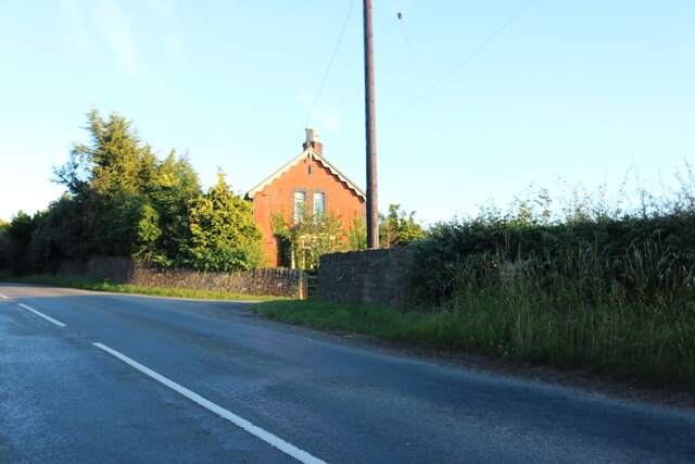
Daw's Coppice Images

Images are sourced within 2km of 51.961083/-2.4508653 or Grid Reference SO6929. Thanks to Geograph Open Source API. All images are credited.

Boyce Court Boyce Court viewed from the Daffodil Way.  The house was built in 1835 for Drummond family.  A fine looking Grade II listed early 19th century house beside a cedar tree.
Boyce Court
Boyce Court viewed from the Daffodil Way. The house was built in 1835 for Drummond family. A fine looking Grade II listed early 19th century house beside a cedar tree.
The entrance to Bentleys Castle Farm on Dymock Road
Dymock Road south of Dymock
Old tractor A rusty blue tractor on the edge of a field.
Old tractor
A rusty blue tractor on the edge of a field.
Abandoned barn A seemingly abandoned, rusty barn in a field near the M50.
Abandoned barn
A seemingly abandoned, rusty barn in a field near the M50.
M50 underpass footpath A small tunnel leading under the M50, defaced with graffiti.
M50 underpass footpath
A small tunnel leading under the M50, defaced with graffiti.
B4215 bridge over M50 One of the more eye-catching bridge designs of bridges over the M50.  When the motorway was opened, some of the publicity celebrated that each overbridge was different, though this was partly aesthetic design, partly engineering needs.
B4215 bridge over M50
One of the more eye-catching bridge designs of bridges over the M50. When the motorway was opened, some of the publicity celebrated that each overbridge was different, though this was partly aesthetic design, partly engineering needs.
Wild daffodils, Kempley Wild daffodils (Narcissus pseudonarcissus) are a common sight in this corner of north-west Gloucestershire, here they are in a field near Kempley.
Wild daffodils, Kempley
Wild daffodils (Narcissus pseudonarcissus) are a common sight in this corner of north-west Gloucestershire, here they are in a field near Kempley.
Wild daffodils, Kempley. Wild daffodils (Narcissus pseudonarcissus) are a common sight in this corner of north-west Gloucestershire, here they are in a field near Kempley.
Wild daffodils, Kempley.
Wild daffodils (Narcissus pseudonarcissus) are a common sight in this corner of north-west Gloucestershire, here they are in a field near Kempley.
Layby on the B4215 The layby on the left used to be the original route of the B4215 until it was realigned when a bridge was built of the M50 motorway which was one of Britain's earliest motorways which opened in 1960.
Layby on the B4215
The layby on the left used to be the original route of the B4215 until it was realigned when a bridge was built of the M50 motorway which was one of Britain's earliest motorways which opened in 1960.
Site of Dymock station The platform edge and the bridge are all that remain of one of the most picturesque of Great Western branchline stations. Clark's standard work on GW stations shows it in its heyday [page 62]. The bridge has recently been rebuilt and will one day span the Hereford to Gloucester canal on whose route the Ledbury to Gloucester line was built in the 1880s. The line was built by the Newent Railway, but absorbed into the GWR in 1892.
Site of Dymock station
The platform edge and the bridge are all that remain of one of the most picturesque of Great Western branchline stations. Clark's standard work on GW stations shows it in its heyday [page 62]. The bridge has recently been rebuilt and will one day span the Hereford to Gloucester canal on whose route the Ledbury to Gloucester line was built in the 1880s. The line was built by the Newent Railway, but absorbed into the GWR in 1892.
Field of wild daffodils near Kempley
The lane to Kempley near New Rock
The lane to Dymock near Old Rock
Road signs near Dymock
Unusual road sign on lane near Dymock
Show me another place!

Daw's Coppice is located at Grid Ref: SO6929 (Lat: 51.961083, Lng: -2.4508653)

Administrative County: Gloucestershire

District: Forest of Dean

Police Authority: Gloucestershire

What 3 Words

///published.alive.spine. Near Newent, Gloucestershire

Nearby Locations

Daw's Coppice

Related Wikis

Dymock Woods SSSI

Dymock Woods (grid reference SO684288, SO692290, SO697283) is a 53-hectare (130-acre) biological Site of Special Scientific Interest in Gloucestershire...

Four Oaks Halt railway station

Four Oaks Halt was a request stop on the former Ledbury and Gloucester Railway. It was located 2 miles north of Newent. The station opened on 16 October...

Gwen and Vera's Fields

Gwen and Vera's Fields (grid reference SO696277) is a 0.28-hectare (0.69-acre) nature reserve in Gloucestershire.The site, which consists of two separate...

Kempley Daffodil Meadow

Kempley Daffodil Meadow (grid reference SO676301) is a 1.2-hectare (3.0-acre) biological Site of Special Scientific Interest in Gloucestershire, notified...

Nearby Amenities

Located within 500m of 51.961083,-2.4508653
Murrells End
Power: pole
Transformer: distribution
Voltage Primary: 11000
Lat/Long: 51.9591247/-2.4573809
Murrells Cottage
Power: pole
Transformer: distribution
Voltage Primary: 11000
Lat/Long: 51.9599569/-2.4572428
Power: pole
Lat/Long: 51.9610746/-2.4571677
Power: pole
Lat/Long: 51.9620791/-2.4571046
Power: pole
Lat/Long: 51.9631773/-2.4570362
Farmers
Power: pole
Transformer: distribution
Voltage Primary: 11000
Lat/Long: 51.9617041/-2.4460442
Power: pole
Lat/Long: 51.9617564/-2.4450609
Power: pole
Lat/Long: 51.9619096/-2.4444476
The data included in this document is from www.openstreetmap.org. The data is made available under ODbL.

Have you been to Daw's Coppice?

Leave your review of Daw's Coppice below (or comments, questions and feedback).