Bedford Moss
Wood, Forest in Lancashire
England
Bedford Moss

Bedford Moss is a small village located in Lancashire, England, specifically in the area known as Wood or Forest. It is situated near the town of Bury and falls within the Metropolitan Borough of Bury.
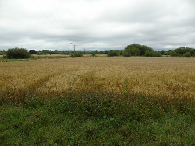
The village gets its name from the mossland, which is a type of wetland characterized by peat soil and high water content, that surrounds the area. Bedford Moss is known for its picturesque landscapes, with vast expanses of greenery and rolling hills that are typical of the Lancashire countryside. The mossland itself is home to a diverse range of wildlife, including various species of birds, insects, and small mammals.
The village has a rich history, with evidence of human habitation dating back to ancient times. It is believed that Bedford Moss was once part of the hunting grounds of the medieval lords of Bury, and there are remnants of old hunting lodges and enclosures in the surrounding area. Today, the village retains a quaint, rural charm, with a small population of residents who primarily engage in farming and agriculture.
Although Bedford Moss is a relatively secluded and quiet village, it benefits from its proximity to larger towns and cities. Residents can easily access nearby amenities and services, including schools, shops, and healthcare facilities. Additionally, the village is well-connected by road, making it convenient for commuting to neighboring areas.
In conclusion, Bedford Moss is a peaceful village nestled in the heart of Lancashire's Wood or Forest region. With its natural beauty and rich history, it offers residents a tranquil and idyllic place to call home.
If you have any feedback on the listing, please let us know in the comments section below.
Bedford Moss Images
Images are sourced within 2km of 53.472934/-2.4685609 or Grid Reference SJ6897. Thanks to Geograph Open Source API. All images are credited.


Bedford Moss is located at Grid Ref: SJ6897 (Lat: 53.472934, Lng: -2.4685609)
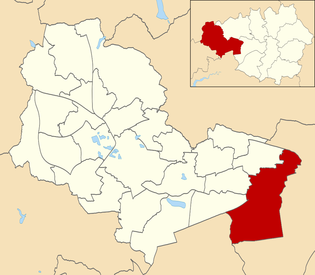
Unitary Authority: Wigan
Police Authority: Greater Manchester
What 3 Words
///extension.gender.minus. Near Glazebury, Cheshire
Nearby Locations
Related Wikis

Flow Moss railway station
Flow Moss was a short-lived, original railway station on the Liverpool and Manchester Railway south of Astley village in what was then the county of Lancashire...
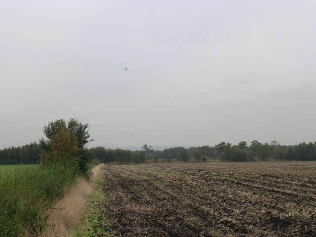
Astley and Bedford Mosses
Astley and Bedford Mosses are areas of peat bog south of the Bridgewater Canal and north of the Liverpool and Manchester Railway. They are situated about...
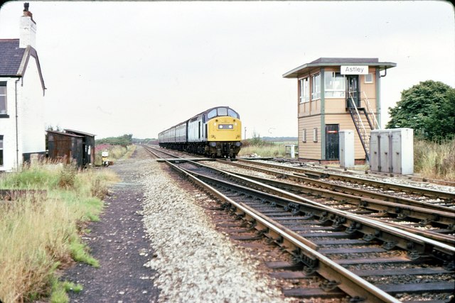
Astley railway station
Astley was a railway station on the Liverpool and Manchester Railway on Chat Moss to the south of Astley village in what was then the county of Lancashire...
Astley Mosley Common (ward)
Astley Mosley Common is an electoral ward in Leigh, England. It forms part of Wigan Metropolitan Borough Council, as well as the parliamentary constituency...
Glazebury and Bury Lane railway station
Glazebury and Bury Lane is a closed railway station between Liverpool and Manchester.The station opened on 15 September 1830 by the Liverpool and Manchester...

Morleys Hall
Morleys Hall, a moated hall converted to two houses, is situated at grid reference SJ 689 992 on Morleys Lane, on the edge of Astley Moss in Astley in...
Lamb's Cottage railway station
Lamb's Cottage was a short-lived, original railway station on the Liverpool and Manchester Railway to the southeast of Astley village in what was then...
Bedford Hall
Bedford Hall is a late-medieval-house in Bedford, Leigh, Greater Manchester, England. It was leased to tenants by the Kighleys, absent lords of the manor...
Nearby Amenities
Located within 500m of 53.472934,-2.4685609Have you been to Bedford Moss?
Leave your review of Bedford Moss below (or comments, questions and feedback).