Coubister
Settlement in Orkney
Scotland
Coubister
Coubister is a small rural settlement located on the western coast of the Mainland in Orkney, Scotland. Situated in the parish of Sandwick, it is renowned for its picturesque landscapes and rich historical heritage.
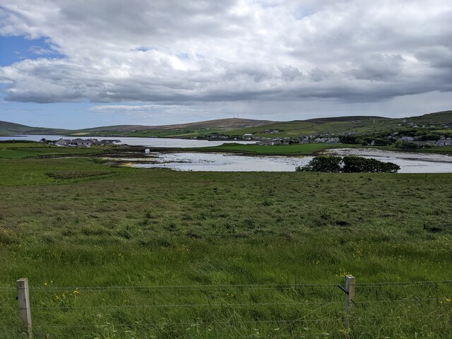
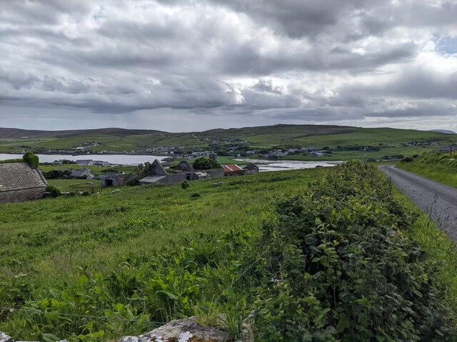
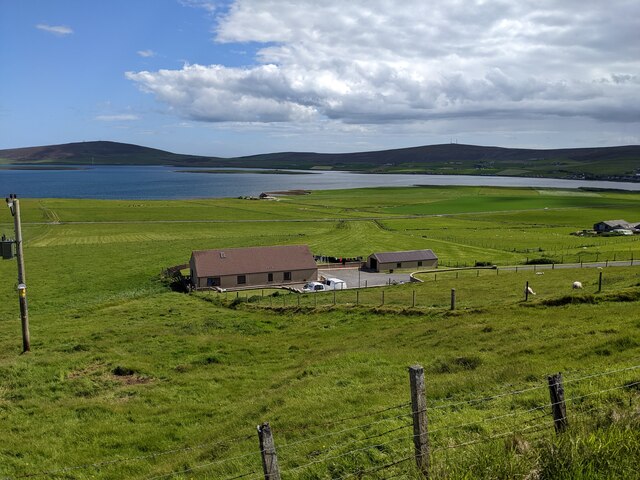
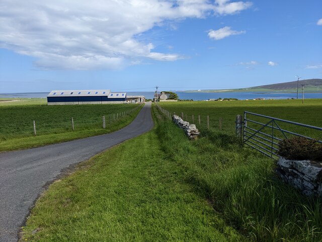
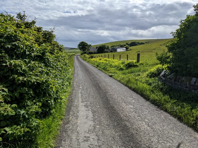
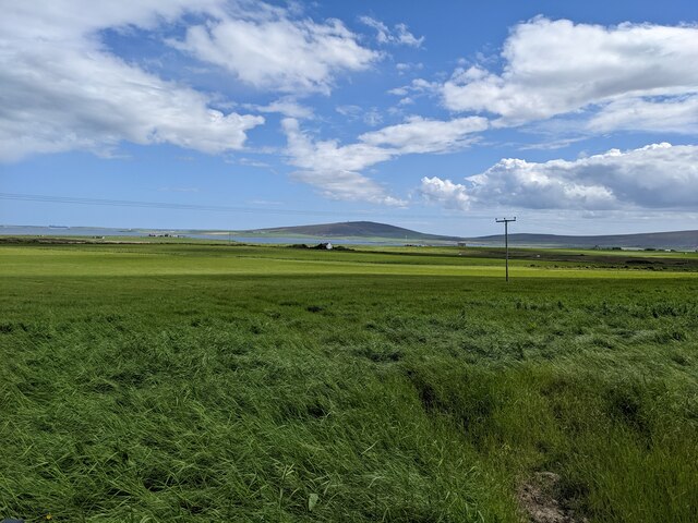
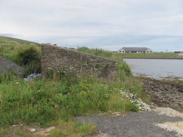
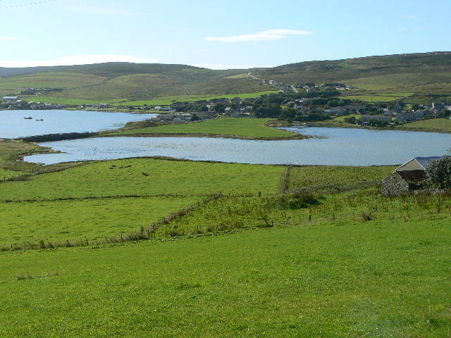
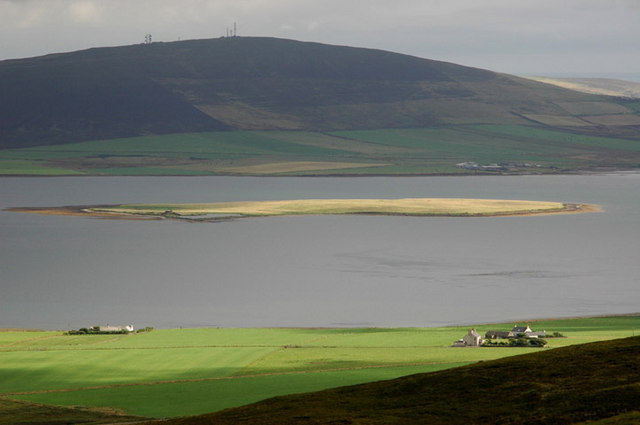
The village of Coubister lies on a gently sloping terrain, overlooking the Atlantic Ocean. Surrounded by rolling hills and fertile farmlands, it offers breathtaking views of the surrounding countryside and the nearby island of Westray. The coastline boasts rugged cliffs and rocky outcrops, providing a habitat for various seabird colonies, including puffins, guillemots, and kittiwakes.
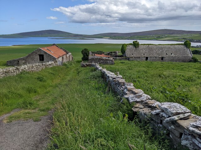
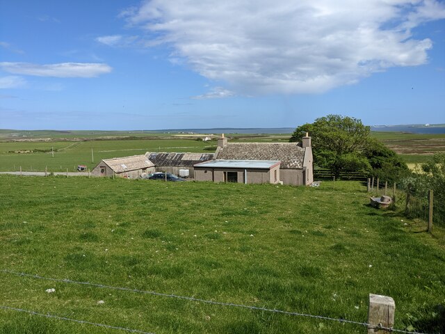
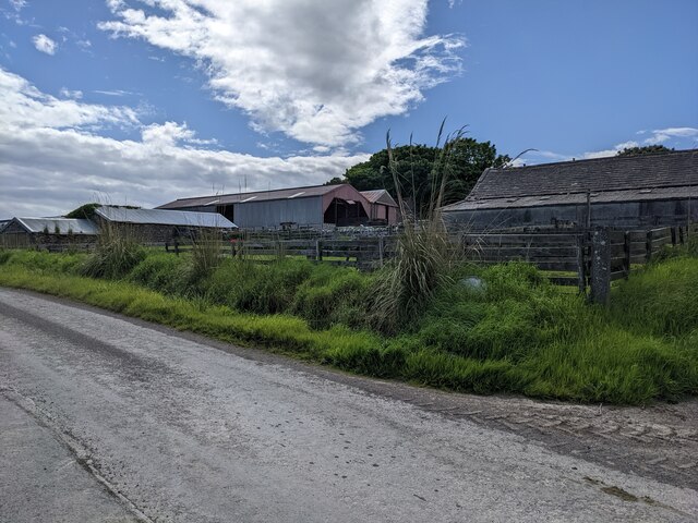
Historically, Coubister has been associated with fishing, with several small fishing boats still operating from the local pier. The village has also been home to a number of traditional crofting communities, and evidence of this way of life can still be seen in the form of old stone cottages and small agricultural fields.
The nearby Coubister Loch, a freshwater loch, is a popular spot for anglers, attracting visitors from near and far. The loch is teeming with brown trout, making it an ideal location for fishing enthusiasts.
Coubister offers limited amenities, with a small community hall and a primary school serving the local population. However, it is within close proximity to the town of Kirkwall, the largest settlement in Orkney, which provides access to a wider range of services and amenities.
Overall, Coubister is a charming and tranquil location, offering visitors a glimpse into the traditional way of life in Orkney, as well as the opportunity to immerse themselves in the natural beauty of the surrounding landscapes.
If you have any feedback on the listing, please let us know in the comments section below.
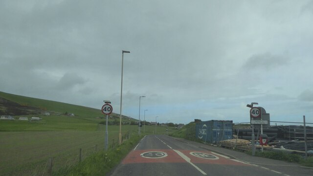
Coubister Images
Images are sourced within 2km of 59.023467/-3.094191 or Grid Reference HY3715. Thanks to Geograph Open Source API. All images are credited.


Coubister is located at Grid Ref: HY3715 (Lat: 59.023467, Lng: -3.094191)
Unitary Authority: Orkney Islands
Police Authority: Highlands and Islands
What 3 Words
///contained.poorly.united. Near Finstown, Orkney Islands
Related Wikis
Finstown
Finstown (locally ) is a village in the parish of Firth on Mainland, Orkney, Scotland. It is the fourth-largest settlement in the Orkney Islands. According...

Holm of Grimbister
Holm of Grimbister is an inhabited tidal islet in the Orkney archipelago of Scotland. Located in the Bay of Firth near Finstown it is connected to Mainland...
Damsay
Damsay is an islet in the Orkney archipelago in Scotland. It is approximately 18 hectares (0.07 sq mi) in extent and rises to only 11 metres (36 ft) above...
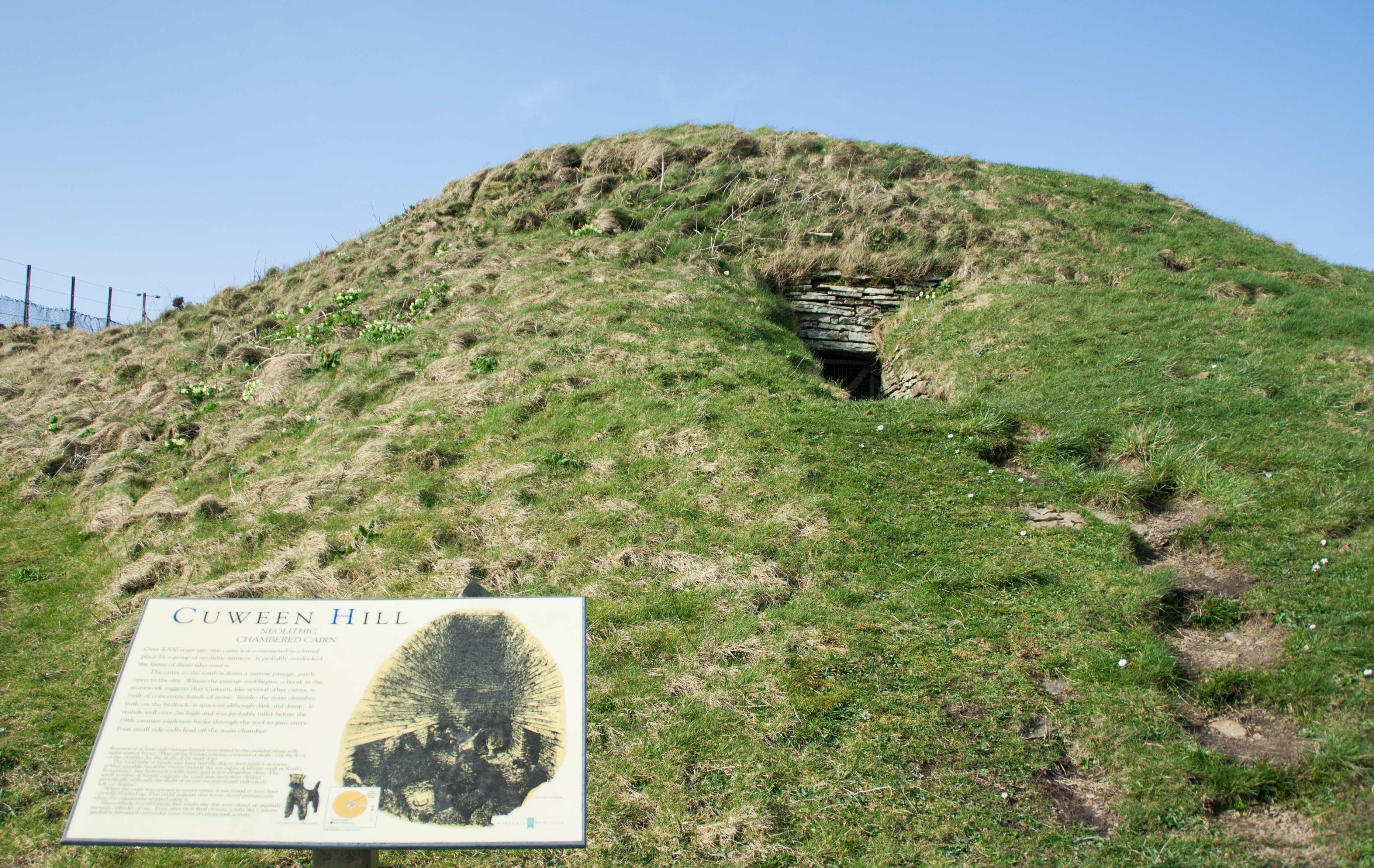
Cuween Hill Chambered Cairn
Cuween Hill Chambered Cairn (grid reference HY364127) is a Neolithic chambered cairn on Mainland, the main island of Orkney, Scotland, about 6 miles west...
Nearby Amenities
Located within 500m of 59.023467,-3.094191Have you been to Coubister?
Leave your review of Coubister below (or comments, questions and feedback).