Beer's Plantation

Wood, Forest in Somerset South Somerset

England

Beer's Plantation

The Montague Inn, Shepton Montague Award winning food pub.
The Montague Inn, Shepton Montague Credit: Steve Barnes

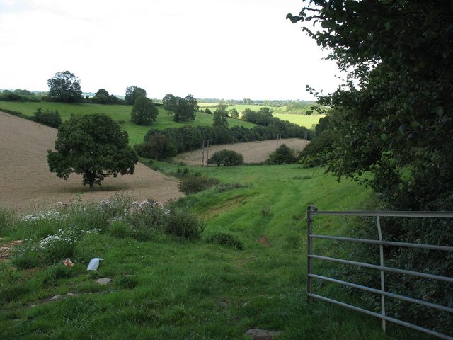
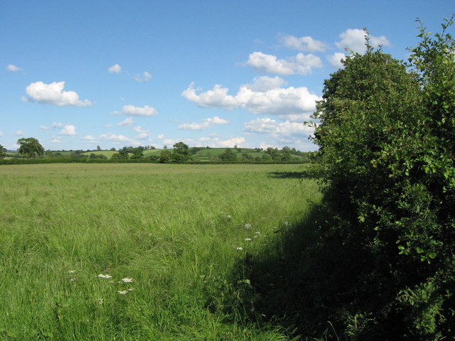
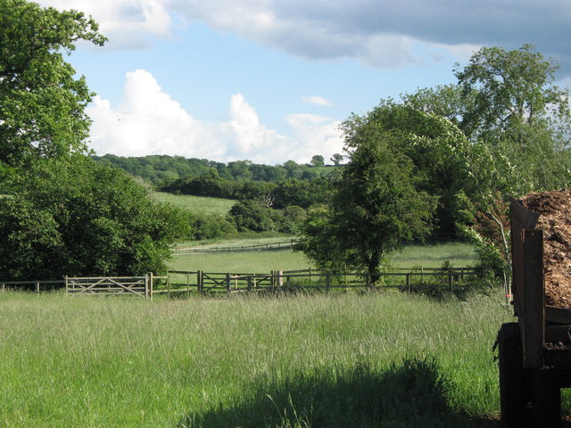
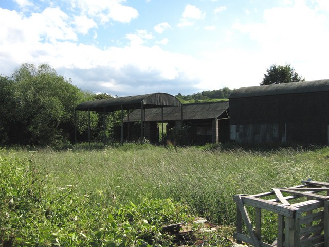
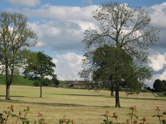
Beer's Plantation is a charming woodland located in Somerset, England. Situated near the village of Wood, the plantation covers a vast area of lush forest spanning approximately 200 acres. It is a popular destination for nature enthusiasts, hikers, and families seeking a tranquil retreat amidst the natural beauty of the region.

The plantation is characterized by its diverse array of tree species, including oak, beech, and birch, which create a picturesque and enchanting atmosphere. The dense foliage provides a haven for numerous wildlife species, making it a haven for birdwatchers and wildlife enthusiasts. Visitors can spot various bird species, such as woodpeckers, owls, and robins, as well as small mammals like foxes, rabbits, and squirrels.

A network of well-maintained trails winds through the plantation, offering visitors the opportunity to explore its scenic wonders. These paths are suitable for all levels of fitness, making it accessible for both casual walkers and avid hikers. The plantation also features picnic areas for visitors to rest and enjoy a meal amidst the serene surroundings.

Beer's Plantation is not only a place of natural beauty but also holds historical significance. It is believed to have been part of the ancient Selwood Forest, a hunting ground for Anglo-Saxon kings. Today, remnants of the past can still be found, including the remains of old boundary walls and occasional archaeological discoveries.

Whether you are seeking a peaceful stroll, a family outing, or a chance to immerse yourself in nature, Beer's Plantation is a must-visit destination in Somerset. Its idyllic setting and diverse wildlife make it a haven for those who appreciate the beauty and tranquility of the natural world.

If you have any feedback on the listing, please let us know in the comments section below.

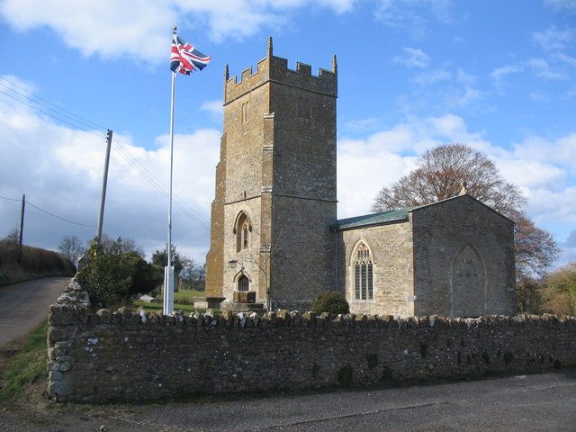
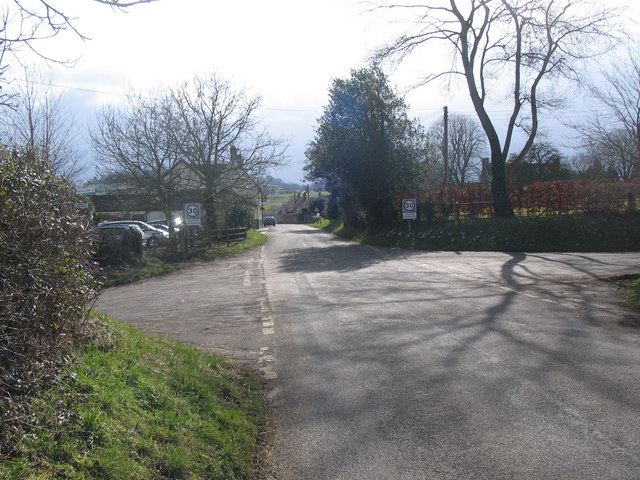
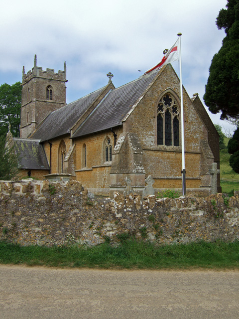
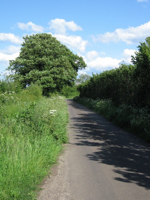
Beer's Plantation Images

Images are sourced within 2km of 51.084879/-2.4464013 or Grid Reference ST6831. Thanks to Geograph Open Source API. All images are credited.

The Montague Inn, Shepton Montague Award winning food pub.
The Montague Inn, Shepton Montague
Award winning food pub.
Small valley next to the A359
Shepton Montague: Church of Saint Peter The Parish Church of Saint Peter has 13th century origins and has been designated as a Grade II listed building. It was seriously damaged by a fire in 1964 and restored two years later.
Shepton Montague: Church of Saint Peter
The Parish Church of Saint Peter has 13th century origins and has been designated as a Grade II listed building. It was seriously damaged by a fire in 1964 and restored two years later.
Stoney Stoke: Entrance to Knowlerock Farm
Stoney Stoke: View towards Redlynch View north-west, through a hedge, across fields towards Redlynch
Stoney Stoke: View towards Redlynch
View north-west, through a hedge, across fields towards Redlynch
Hedge near Discove with Triangulation Pillar Viewed from the east.
Hedge near Discove with Triangulation Pillar
Viewed from the east.
Ordnance Survey Cut Mark This OS cut mark can be found on the NW face of St Peter's Church. It marks a point 148.048m above mean sea level.
Ordnance Survey Cut Mark
This OS cut mark can be found on the NW face of St Peter's Church. It marks a point 148.048m above mean sea level.
REDLYNCH, Somerset St Peter's Church - an unusual late C18 design.
REDLYNCH, Somerset
St Peter's Church - an unusual late C18 design.
Chapel at Redlynch
Chapel at Redlynch
St. Peters, Lower Shepton A view looking northwest to the church of St. Peter at lower shepton. Partially rebuilt after a fire on 27 November 1964 which destroyed the chancel, it now consists of the nave and original perpendicular tower.
St. Peters, Lower Shepton
A view looking northwest to the church of St. Peter at lower shepton. Partially rebuilt after a fire on 27 November 1964 which destroyed the chancel, it now consists of the nave and original perpendicular tower.
Shepton Montague A view looking south to the crossroads at the northern end of the village of Shepton Montague.
Shepton Montague
A view looking south to the crossroads at the northern end of the village of Shepton Montague.
Church of St Leonard - Pitcombe The church of St. Leonard, was with the exception of the tower rebuilt in 1857-8 to designs by G. E. Street.
Church of St Leonard - Pitcombe
The church of St. Leonard, was with the exception of the tower rebuilt in 1857-8 to designs by G. E. Street.
Minor road
Minor road
Field adjacent to minor road
View from road Looking south.  Taken adjacent to old farm buildings.
View from road
Looking south. Taken adjacent to old farm buildings.
Old barns Somewhat derelict, but I think still in use!
Old barns
Somewhat derelict, but I think still in use!
Knowle Park Farm
Knowle Park Farm
Woods at south end of Redlynch park
Show me another place!

Beer's Plantation is located at Grid Ref: ST6831 (Lat: 51.084879, Lng: -2.4464013)

Administrative County: Somerset

District: South Somerset

Police Authority: Avon and Somerset

What 3 Words

///collides.text.nibbled. Near Redlynch, Somerset

Related Wikis

Shepton Montague Railway Cutting

Shepton Montague Railway Cutting (grid reference ST686316) is a 1.61 hectare geological Site of Special Scientific Interest at Shepton Montague in Somerset...
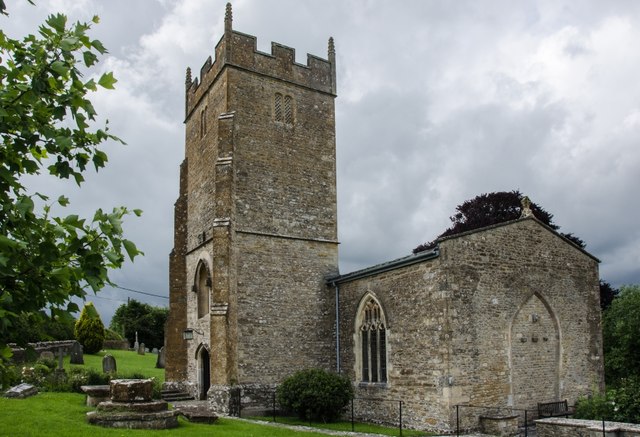
Shepton Montague

Shepton Montague is a village and civil parish in Somerset, England, United Kingdom. It is situated on the River Pitt in the South Somerset district midway...

Church of St Peter, Redlynch

The Anglican Church of St Peter in Redlynch, Somerset, England was built in about 1750. It is a Grade II* listed building. == History == The church was...

Church of St Nicholas, Bratton Seymour

The Anglican Church of St Nicholas in Bratton Seymour, Somerset, England, was built in the 13th century. It is a Grade II* listed building. == History... ==

Pitcombe

Pitcombe is a village and civil parish 1 mile (2 km) south-west of Bruton and 5 miles (8 km) from Wincanton in Somerset, England. It has a population of...

Bruton School for Girls

Bruton School for Girls was an independent day and boarding school for girls aged 2 to 18, near Pitcombe in Bruton in south east Somerset, England. By...

Cole (for Bruton) railway station

Cole (for Bruton) railway station was a station on the Somerset and Dorset Railway in South Somerset, serving the village of Cole, which is now virtually...

Redlynch, Somerset

Redlynch is a village and former manor in the civil parish of Bruton, in the South Somerset district of Somerset, England. The 18th-century church and...

Nearby Amenities

Located within 500m of 51.084879,-2.4464013
Power: pole
Source: bing
Lat/Long: 51.0816508/-2.4506834
Power: pole
Source: bing
Lat/Long: 51.0825388/-2.4509141
Power: pole
Source: bing
Lat/Long: 51.0833071/-2.4513406
Power: pole
Source: bing
Lat/Long: 51.0836879/-2.4527138
Power: pole
Source: bing
Lat/Long: 51.0837098/-2.4517724
Power: pole
Source: bing
Lat/Long: 51.0854234/-2.4432135
Power: pole
Source: bing
Lat/Long: 51.0834958/-2.4406278
Power: pole
Source: bing
Lat/Long: 51.0841951/-2.4415585
Power: pole
Source: bing
Lat/Long: 51.0848589/-2.442441
Power: pole
Source: bing
Lat/Long: 51.0857839/-2.4443266
Power: pole
Source: bing
Lat/Long: 51.0860518/-2.4453002
Power: pole
Source: bing
Lat/Long: 51.0863551/-2.4462591
Power: pole
Source: bing
Lat/Long: 51.0843568/-2.4504313
Power: pole
Source: bing
Lat/Long: 51.0848067/-2.4494711
Power: pole
Source: bing
Lat/Long: 51.0858395/-2.4473065
Power: pole
Source: bing
Lat/Long: 51.0853762/-2.4482721
Power: pole
Source: bing
Lat/Long: 51.0868201/-2.4519065
Power: pole
Source: bing
Lat/Long: 51.0863349/-2.4506781
Power: pole
Source: bing
Lat/Long: 51.0858395/-2.449463
The data included in this document is from www.openstreetmap.org. The data is made available under ODbL.

Have you been to Beer's Plantation?

Leave your review of Beer's Plantation below (or comments, questions and feedback).