Webb's Plantation
Wood, Forest in Yorkshire Ribble Valley
England
Webb's Plantation
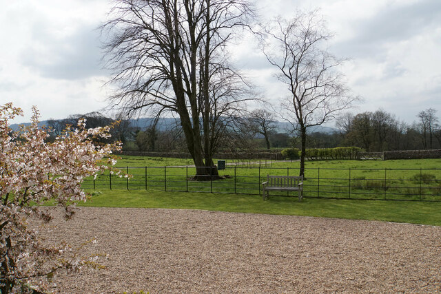
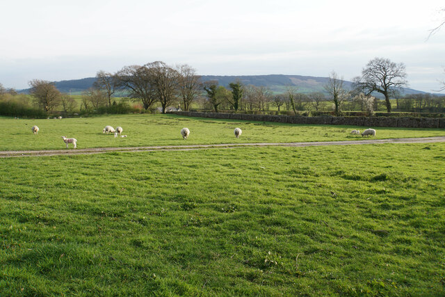
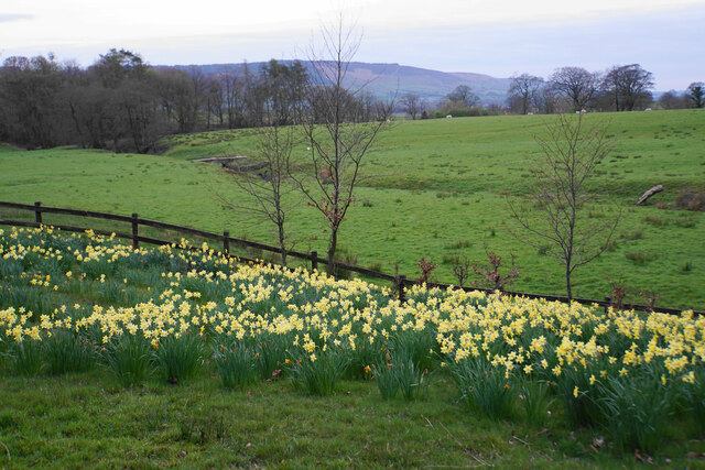
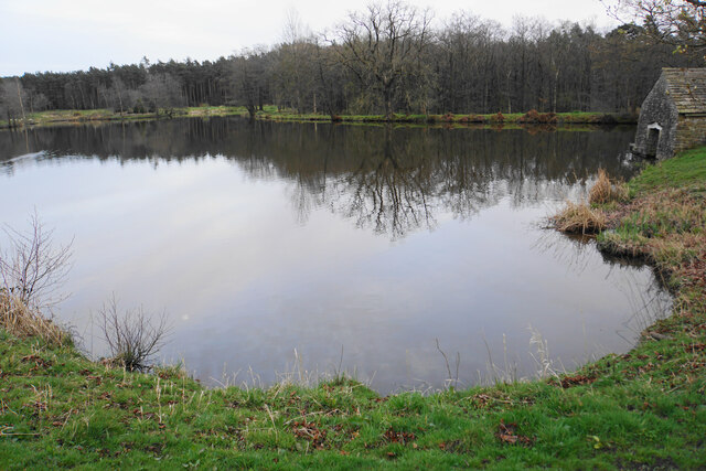
Webb's Plantation is a beautiful woodland area situated in Yorkshire, known for its dense forests and lush green surroundings. Located near the town of Wood, this plantation covers a vast area and is a popular destination for nature enthusiasts and hikers alike.
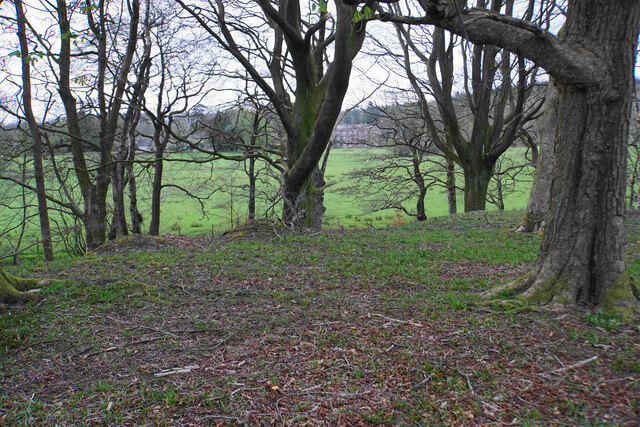
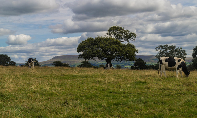
The plantation is home to a diverse range of plant and animal species, making it a haven for wildlife enthusiasts. The forest is predominantly made up of deciduous trees, including oak, beech, and birch, which provide a stunning display of colors during the autumn months. The dense canopy of trees also creates a serene and peaceful atmosphere, perfect for those looking to escape the hustle and bustle of everyday life.
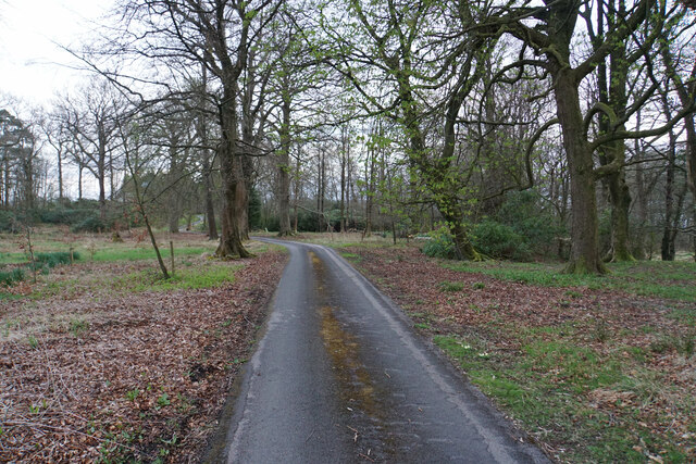
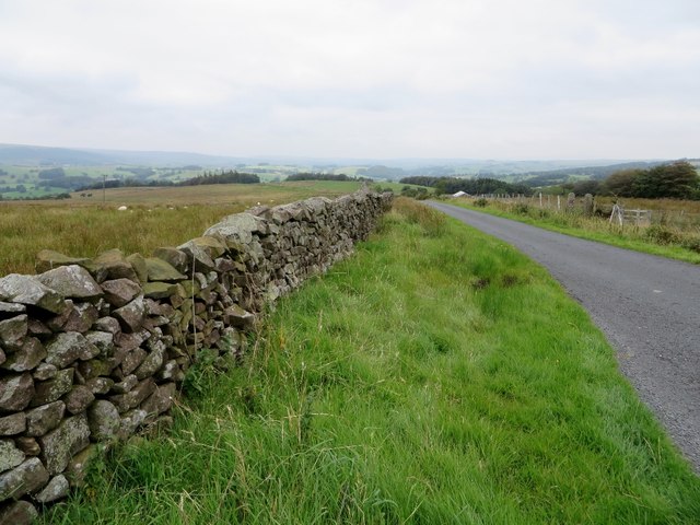
Webb's Plantation offers a network of well-maintained trails, allowing visitors to explore the area at their own pace. These trails wind through the forest, offering panoramic views of the surrounding landscape and providing ample opportunities for wildlife spotting. The plantation is also home to several species of birds, making it a popular spot for birdwatchers.
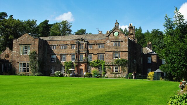
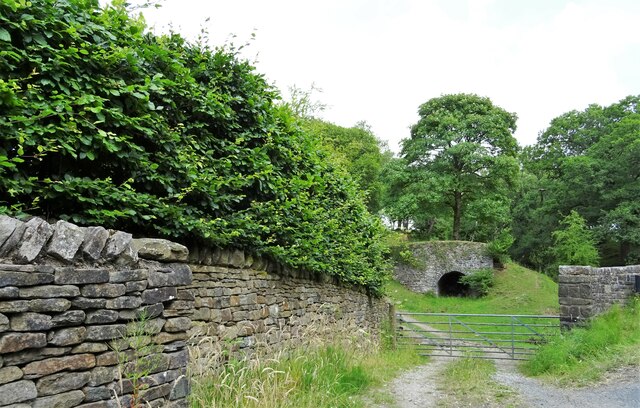
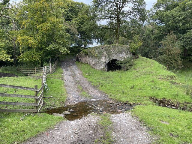
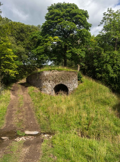
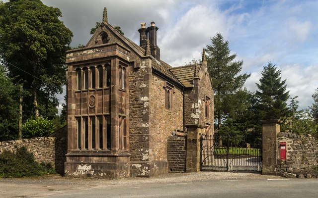
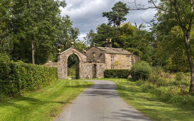
In addition to its natural beauty, Webb's Plantation also has historical significance. The area was once part of an extensive estate owned by the Webb family, who were wealthy landowners in the region. The remnants of the family's estate, including an old manor house and a few stone structures, can still be found within the plantation, adding a touch of intrigue to the area.
Overall, Webb's Plantation is a picturesque woodland area, offering a blend of natural beauty, wildlife, and historical charm. It is a must-visit destination for those seeking a peaceful and immersive experience in the heart of Yorkshire's countryside.
If you have any feedback on the listing, please let us know in the comments section below.
Webb's Plantation Images
Images are sourced within 2km of 53.909963/-2.4764555 or Grid Reference SD6846. Thanks to Geograph Open Source API. All images are credited.


Webb's Plantation is located at Grid Ref: SD6846 (Lat: 53.909963, Lng: -2.4764555)
Division: West Riding
Administrative County: Lancashire
District: Ribble Valley
Police Authority: Lancashire
What 3 Words
///caressed.fewest.outpost. Near Waddington, Lancashire
Nearby Locations
Related Wikis

Bowland Forest Low
Bowland Forest Low is a civil parish in the Ribble Valley district of Lancashire, England, covering some 5,500 acres (22 km2) of the Forest of Bowland...

Browsholme Hall
Browsholme Hall is a privately owned Tudor house in the parish of Bowland Forest Low in the borough of Ribble Valley, Lancashire (although historically...

Bowland Rural District
Bowland was a rural district in the West Riding of Yorkshire from 1894 to 1974. It was named after the Forest of Bowland, which it included. It was formed...

Cow Ark Farmhouse
Cow Ark Farmhouse is a historic building in the English parish of Bowland Forest Low, Lancashire. It is Grade II listed, built around 1780, and is a sandstone...
Nearby Amenities
Located within 500m of 53.909963,-2.4764555Have you been to Webb's Plantation?
Leave your review of Webb's Plantation below (or comments, questions and feedback).