Mill Covert
Wood, Forest in Gloucestershire
England
Mill Covert
Mill Covert is a small woodland area located in the county of Gloucestershire, England. Situated within the larger Forest of Dean, it covers an area of approximately 20 acres. The covert is named after a historic mill that once stood on the site, which is now marked by remnants of its foundations.
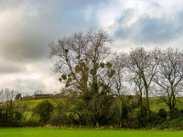
The woodland is predominantly composed of native tree species such as oak, beech, and ash, creating a dense and diverse canopy. The forest floor is blanketed with a variety of wildflowers, including bluebells, primroses, and wood anemones, adding to the area's natural beauty.
Mill Covert is known for its tranquil atmosphere and is a popular destination for nature enthusiasts, hikers, and birdwatchers. The woodland provides a habitat for a range of wildlife, including deer, foxes, badgers, and various bird species such as woodpeckers, owls, and warblers.
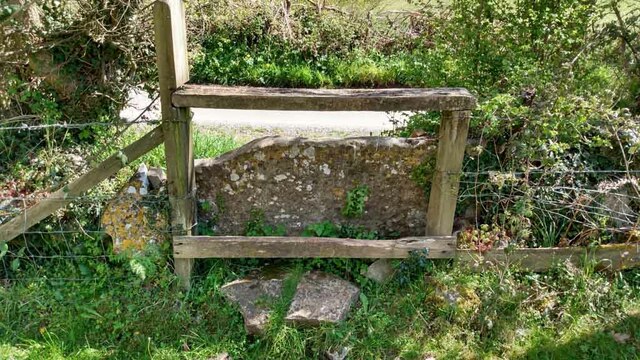
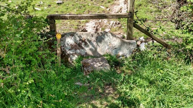
There are several walking trails that wind through Mill Covert, allowing visitors to explore the area and immerse themselves in its natural surroundings. These paths are well-maintained and offer opportunities to observe the local flora and fauna up close.
In addition to its natural beauty, Mill Covert has historical significance. The remains of the old mill serve as a reminder of the area's past and add an element of intrigue to the woodland.
Overall, Mill Covert in Gloucestershire is a charming woodland retreat, offering visitors a chance to connect with nature and discover the rich history of the area.
If you have any feedback on the listing, please let us know in the comments section below.
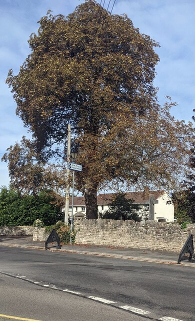
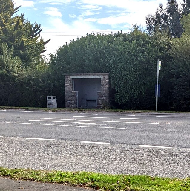
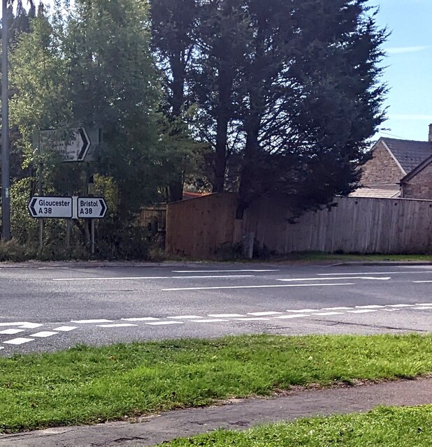
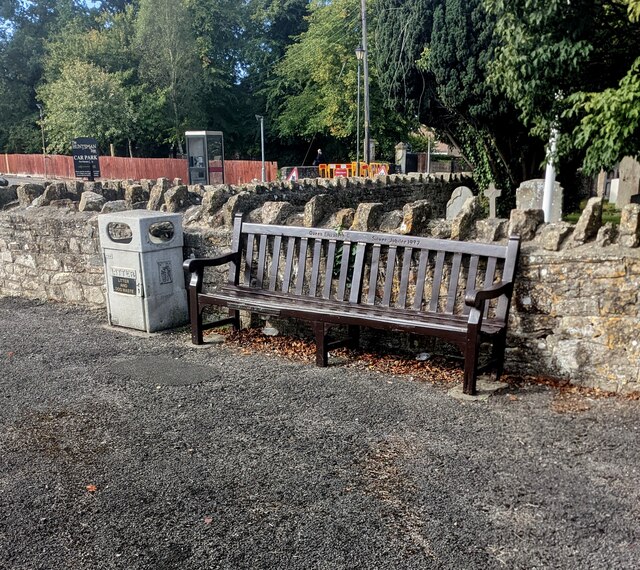
Mill Covert Images
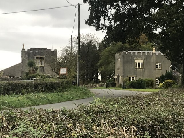
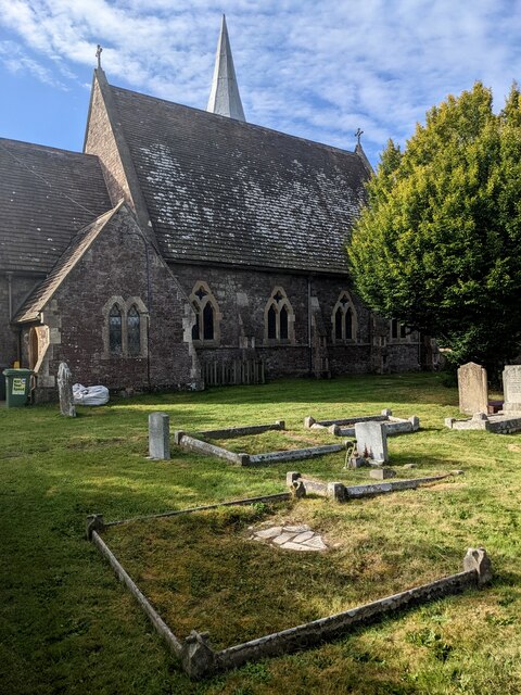
Images are sourced within 2km of 51.627019/-2.4532073 or Grid Reference ST6892. Thanks to Geograph Open Source API. All images are credited.


Mill Covert is located at Grid Ref: ST6892 (Lat: 51.627019, Lng: -2.4532073)
Unitary Authority: South Gloucestershire
Police Authority: Avon and Somerset
What 3 Words
///deeper.legwork.everybody. Near Falfield, Gloucestershire
Nearby Locations
Related Wikis

HM Prison Leyhill
HM Prison Leyhill is a Category D men's prison located in the parish of Tortworth in Gloucestershire, England. His Majesty's Prison Service operates Leyhill...

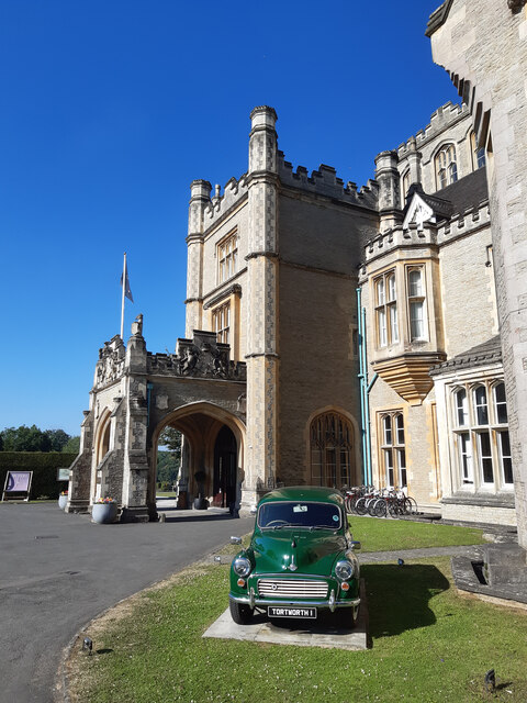
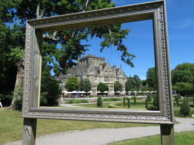
Tortworth Court
Tortworth Court is a Victorian mansion in Tortworth near Thornbury, South Gloucestershire. England. It was built in Tudor style for the 2nd Earl of Ducie...

Falfield
Falfield is a village, located near the northern border of the South Gloucestershire district of Gloucestershire, England on the southern edge of the Berkeley...
Whitfield, Gloucestershire
Whitfield is a hamlet in South Gloucestershire, England. == Location == It is on the A38 near Falfield. Located just beyond the B4061 junction, the rural...
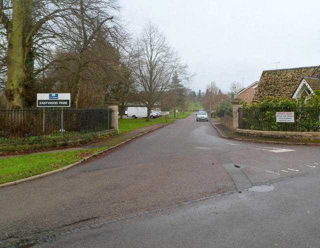
HM Prison Eastwood Park
HM Prison Eastwood Park is a women's closed category prison, located in the village of Falfield in South Gloucestershire, England. The prison is operated...
Tortworth
Tortworth is a small village and civil parish, near Thornbury in Gloucestershire, England. It has a population of 147 as of 2011. It lies on the B4509...
Brinkmarsh Quarry
Brinkmarsh Quarry (grid reference ST674913) is a 0.5 hectare geological Site of Special Scientific Interest near the town of Thornbury, South Gloucestershire...

Bibstone
Bibstone is a village in Gloucestershire, England. == External links == Media related to Bibstone at Wikimedia Commons
Related Videos

Explosive Entry! British Infantry Vets teach Airsoft CQB in a disused prison!
Welcome back, Troops! Join me as I teach Airsoft CQB as a Guest Instructor on one of JBG's courses! This time with added ...


Visit Tortworth Court Hotel | Intro to South West England (4K)
Intro to Southwest England tips starts 2:55 Join us as we explore the beautiful 4-Star Tortworth Court Hotel, set in 30 acres ...

Nearby Amenities
Located within 500m of 51.627019,-2.4532073Have you been to Mill Covert?
Leave your review of Mill Covert below (or comments, questions and feedback).